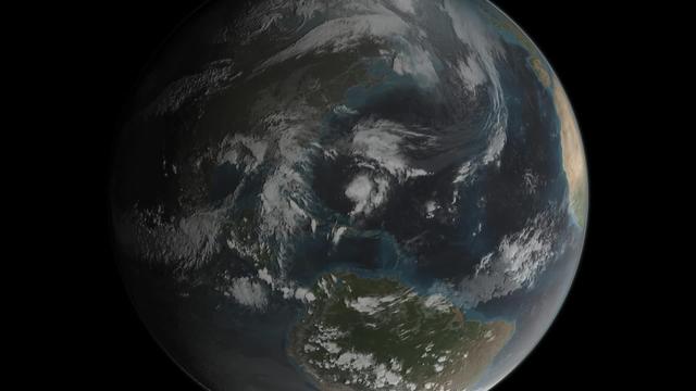
Animation of Tropical Storm Joaquin right before it intensified into a hurricane on September 29, 2015
Joaquin became a tropical storm Monday evening (EDT) midway between the Bahamas and Bermuda and has now formed into a hurricane, the 3rd of the season--the difference is Joaquin could impact the US East Coast. GPM captured Joaquin Tuesday, September 29th at 21:39 UTC (5:39 pm EDT) as the hurricane moved slowly towards the west-southwest about 400 miles east of the northwestern Bahamas. At the time, Joaquin had been battling northerly wind shear, which was impeding the storm's ability to strengthen. However, compared to earlier in the day, the system was beginning to gain the upper hand as the shear began to relax its grip. At the time of this data visualization, Joaquin's low-level center of circulation was located further within the cloud shield, and the rain area was beginning to wrap farther around the center on the eastern side of the storm while showing signs of increased banding and curvature, a sure sign that Joaquin's circulation was intensifying. GPM shows a large area of very intense rain with rain rates ranging from around 50 to 132 mm/hr (~2 to 5 inches, shown in red and magenta) just to the right of the center. This is a strong indication that large amounts of heat
- Date
- 2017-12-08
- Collection
- NASA Goddard Space Flight Center
- Archive
- NASA Image and Video Library
- Type
- illustration (NASA artwork)
More from this collection: NASA Goddard Space Flight Center photos from the 2010s
Public domain
safestReason: a NASA work: not copyrighted in the United States.
Read from: NASA media usage guidelines: NASA material is not copyrighted in the US unless noted; no third-party credit or mark found.
Credit line
"Animation of Tropical Storm Joaquin right before it intensified into a hurricane on September 29, 2015" (2017-12-08). NASA/GSFC. Public domain. https://images.nasa.gov/details/GSFC_20171208_Archive_e000595Need photos for a whole script? Add Find Any Photo to Claude and ask for this one by its id: 15129.
More like this
epic_1b_20151022190018_00
2017-12-08 · NASA Image and Video Library
Though having been upgraded from a tropical storm to a Category 2 hurricane, the Atlantic-borne Edouard thus…
2014-09-16 · NASA Image and Video Library
Though having been upgraded from a tropical storm to a Category 2 hurricane, the Atlantic-borne Edouard thus…
2014-09-16 · NASA Image and Video Library

View of Hurricane Edouard taken by Expedition 41 crewmember
2014-09-16 · NASA Image and Video Library
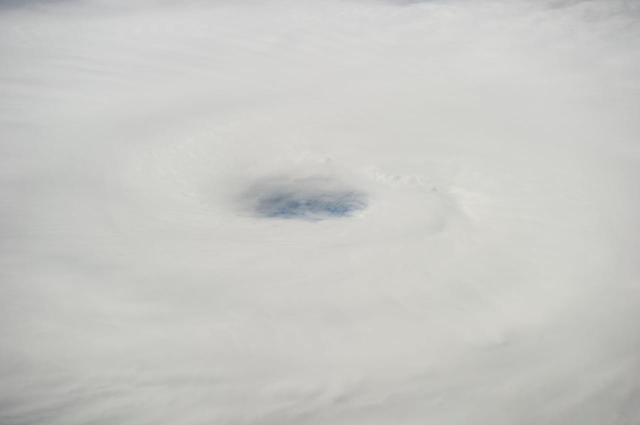
This is the eye of Hurricane Edouard in the Atlantic Ocean, as photographed by one of the Expedition 41 crew…
2014-09-16 · NASA Image and Video Library
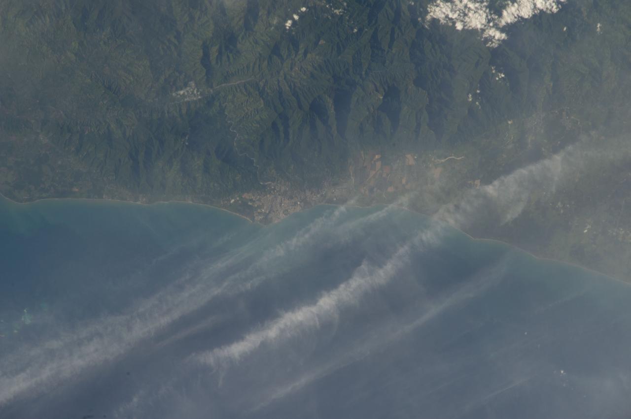
Earth Observation taken during a day pass by the Expedition 40 crew aboard the International Space Station…
2014-07-02 · NASA Image and Video Library
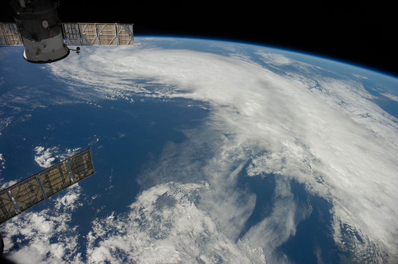
Earth observation taken during a day pass by the Expedition 40 crew aboard the International Space Station…
2014-07-04 · NASA Image and Video Library

Storm in the Sargasso Sea Scientist aboard the R/V Endeavor in the Sargasso Sea put their research on hold on…
2017-12-08 · NASA Image and Video Library