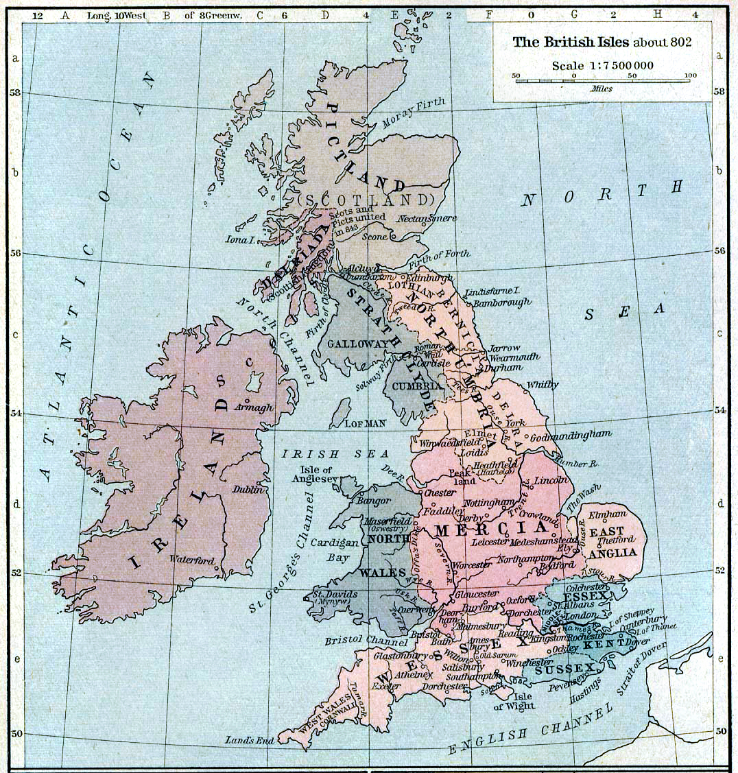

British isles 802
Map of the British Isles claiming to represent borders circa 802 AD.
- Date
- 1926
- Archive
- Wikimedia Commons
- Type
- map
- Original size
- 1,076 × 1,127 pixels
Public domainsafest
Reason: its author died more than 80 years ago.
Read from: Commons licence category: PD-old-80-expired; no CC BY, CC BY-SA, GFDL or deletion tag on the file page.
Credit line
"British isles 802" (1926). Wikimedia Commons. Public domain. https://commons.wikimedia.org/wiki/File:British_isles_802.jpgNeed photos for a whole script? Add Find Any Photo to Claude and ask for this one by its id: 159058.
More like this

Median Empire
1923 · Wikimedia Commons

1926 Canada-Alaska 1903 boundary-map
1926 · Wikimedia Commons

Asia minor 1140
1926 · Wikimedia Commons

Central Asian trade routes
1920 · Wikimedia Commons

Asia minor-Shepherd 1923 Mesopotamia
1923 · Wikimedia Commons

Panama-canal-shepherd-map
2005-09 · Wikimedia Commons

Asia minor-Shepherd 1923 Armenia
1923 · Wikimedia Commons

Bacon's picture-map of the Western war area
Wikimedia Commons