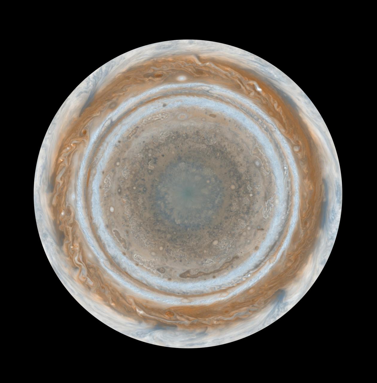
Cassini Best Maps of Jupiter North Polar Map
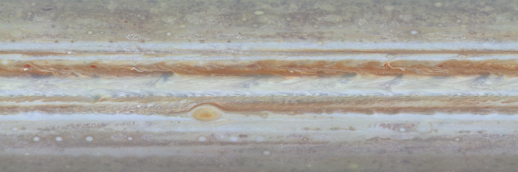
These color maps of Jupiter were constructed from images taken by the narrow-angle camera onboard NASA Cassini spacecraft as the spacecraft neared Jupiter during its flyby of the giant planet.
- Date
- 2006-03-27
- Photographer / author
- NASA/JPL/Space Science Institute
- Collection
- JPL
- Archive
- NASA Image and Video Library
- Type
- photograph
Public domainsafest
Reason: a NASA work: not copyrighted in the United States.
Read from: NASA media usage guidelines: NASA material is not copyrighted in the US unless noted; no third-party credit or mark found.
Credit line
"Cassini Best Maps of Jupiter North Polar Map" (2006-03-27). NASA/JPL/NASA/JPL/Space Science Institute. Public domain. https://images.nasa.gov/details/PIA07783Need photos for a whole script? Add Find Any Photo to Claude and ask for this one by its id: 21947.
More like this
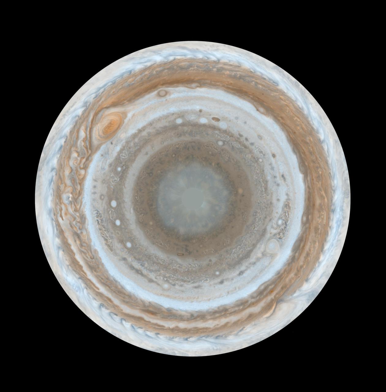
Cassini Best Maps of Jupiter South Polar Map
2006-03-27 · NASA Image and Video Library

Cassini Best Maps of Jupiter Cylindrical Map
2006-03-27 · NASA Image and Video Library
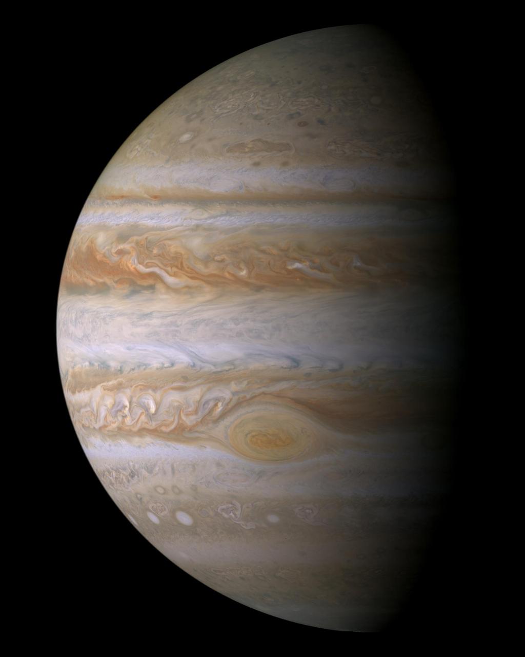
Cassini Jupiter Portrait
2003-11-13 · NASA Image and Video Library
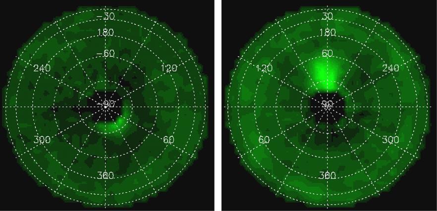
Acetylene around Jupiter Poles
2010-12-29 · NASA Image and Video Library

Jupiter High Latitudes
2001-01-03 · NASA Image and Video Library
Still from Planetwide Movie
2000-12-27 · NASA Image and Video Library

Jupiter Clouds in Depth
2000-12-29 · NASA Image and Video Library
High Latitude Mottling on Jupiter
2000-12-19 · NASA Image and Video Library