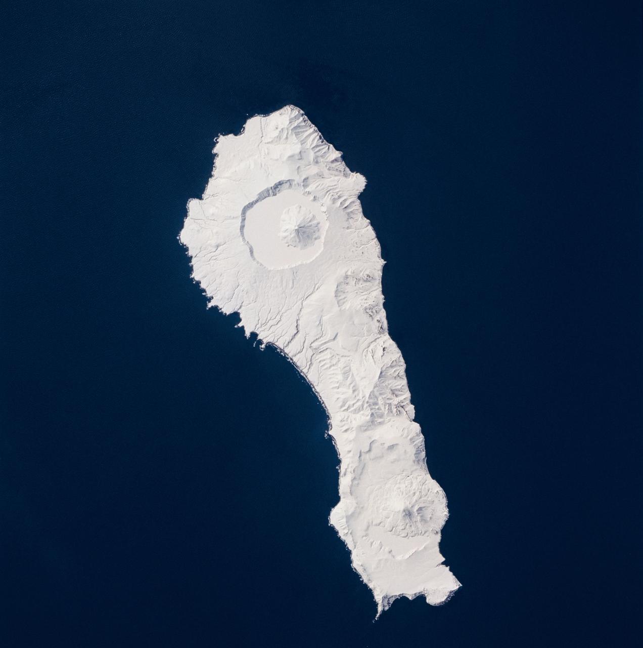
Earth observations taken during the STS-59 mission
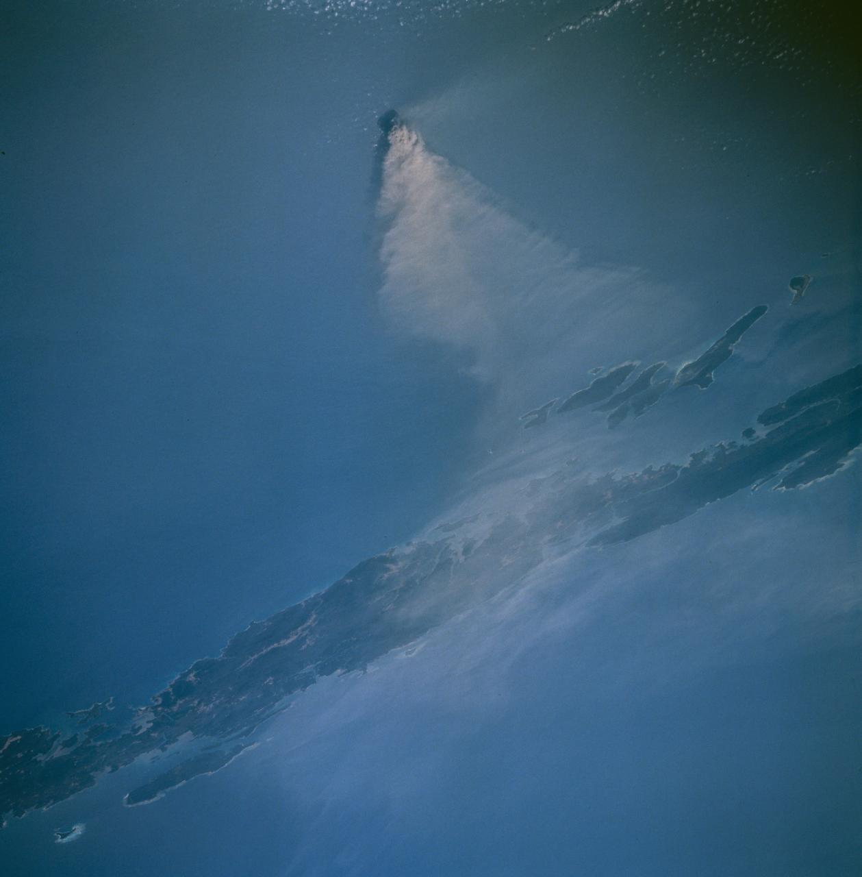
STS059-219-065 (9-20 April 1994) --- The narrow end of the island is to the north by northeast. This is one of several volcanic islands extending south by southwest between the southern tip of Kamchatka and Japan. The exposure was stopped down to provide extremely fine detail in the totally snow-covered landscape, at the same time making the dark sea look completely black. Compare to STS047-90-087, taken in September, which shows a green ground cover. Hasselblad photograph.
- Date
- 1994-04-14
- Collection
- JSC
- Archive
- NASA Image and Video Library
- Type
- photograph
Public domainsafest
Reason: a NASA work: not copyrighted in the United States.
Read from: NASA media usage guidelines: NASA material is not copyrighted in the US unless noted; no third-party credit or mark found.
Credit line
"Earth observations taken during the STS-59 mission" (1994-04-14). NASA/JSC. Public domain. https://images.nasa.gov/details/sts059-219-065Need photos for a whole script? Add Find Any Photo to Claude and ask for this one by its id: 15269.
More like this
Earth observations taken during the STS-59 mission
1994-04-12 · NASA Image and Video Library
Northeast Coast, Hokkaido, Japan
1992-04-02 · NASA Image and Video Library
Pack ice along the Kamchatka Peninsula, Russia as seen from STS-60
1994-02-09 · NASA Image and Video Library
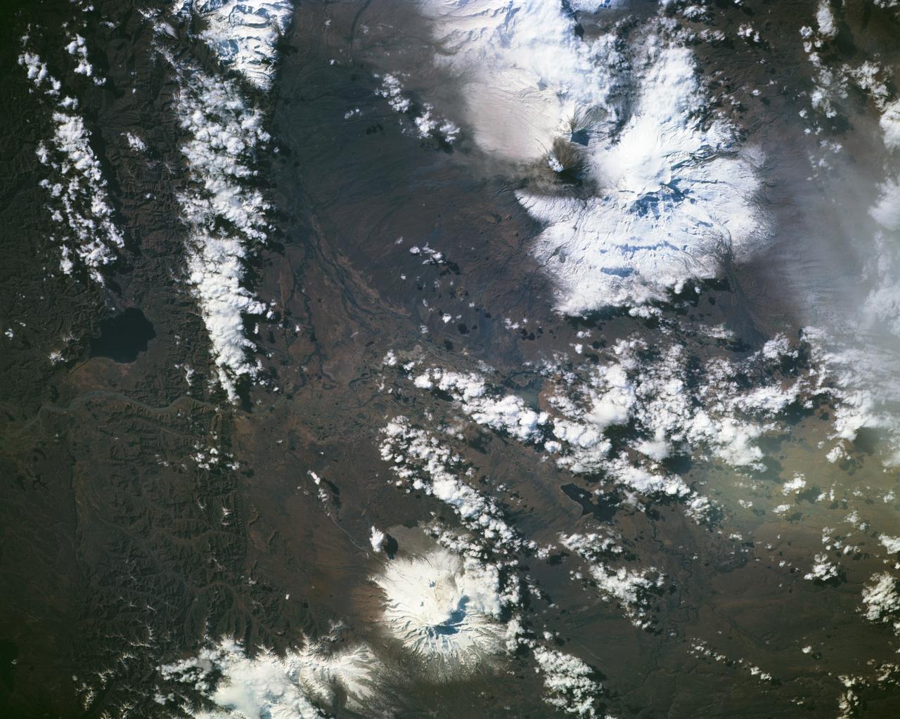
Eruption of Kliuchevskoi volcano
1994-10-05 · NASA Image and Video Library
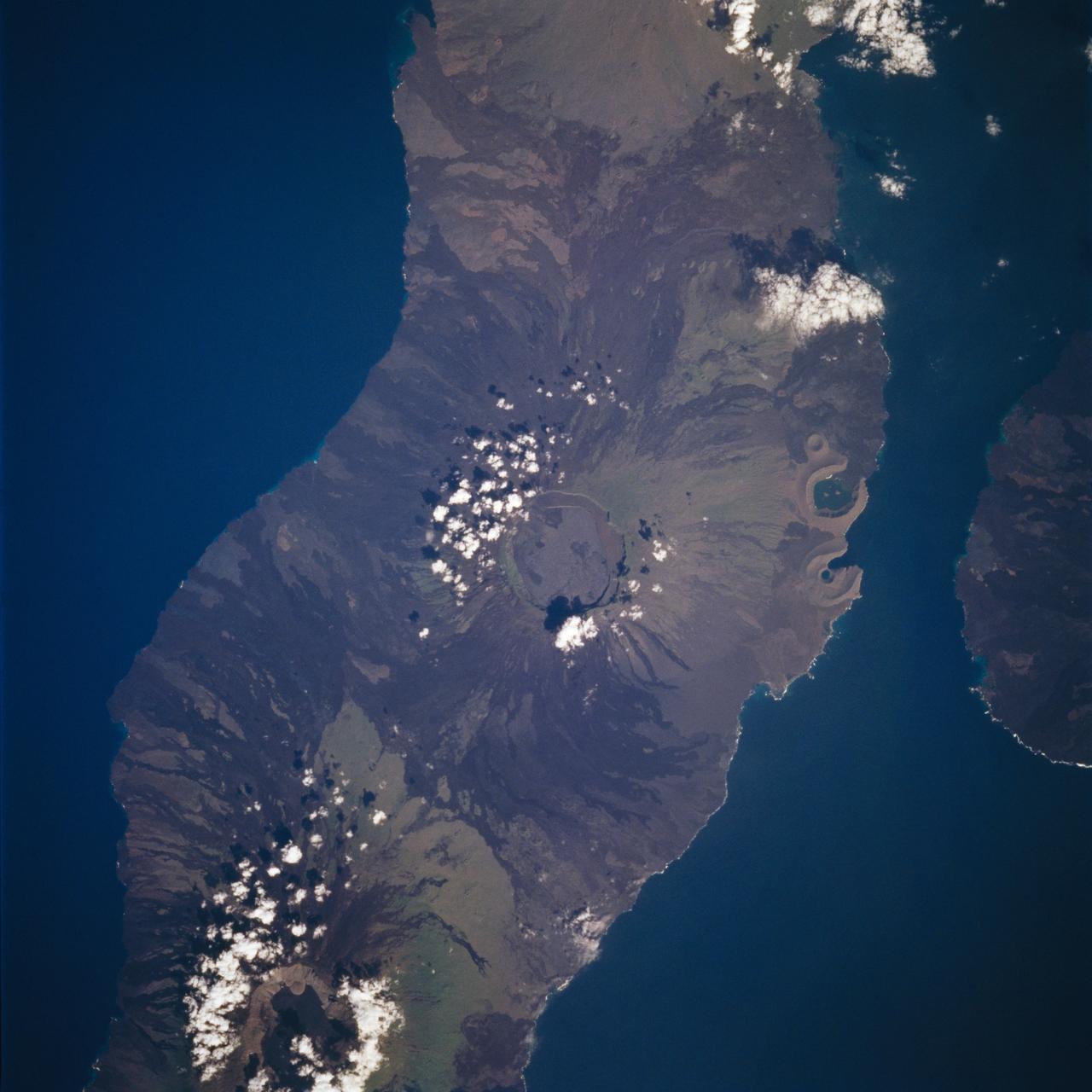
Isabela, Galapagos Islands as seen from STS-59
1994-04-14 · NASA Image and Video Library
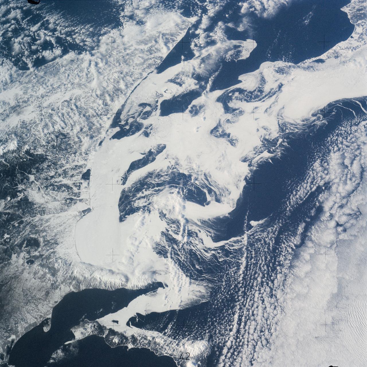
Southern part of the Sea of Okhotsk, north of Japan
1974-01-20 · NASA Image and Video Library
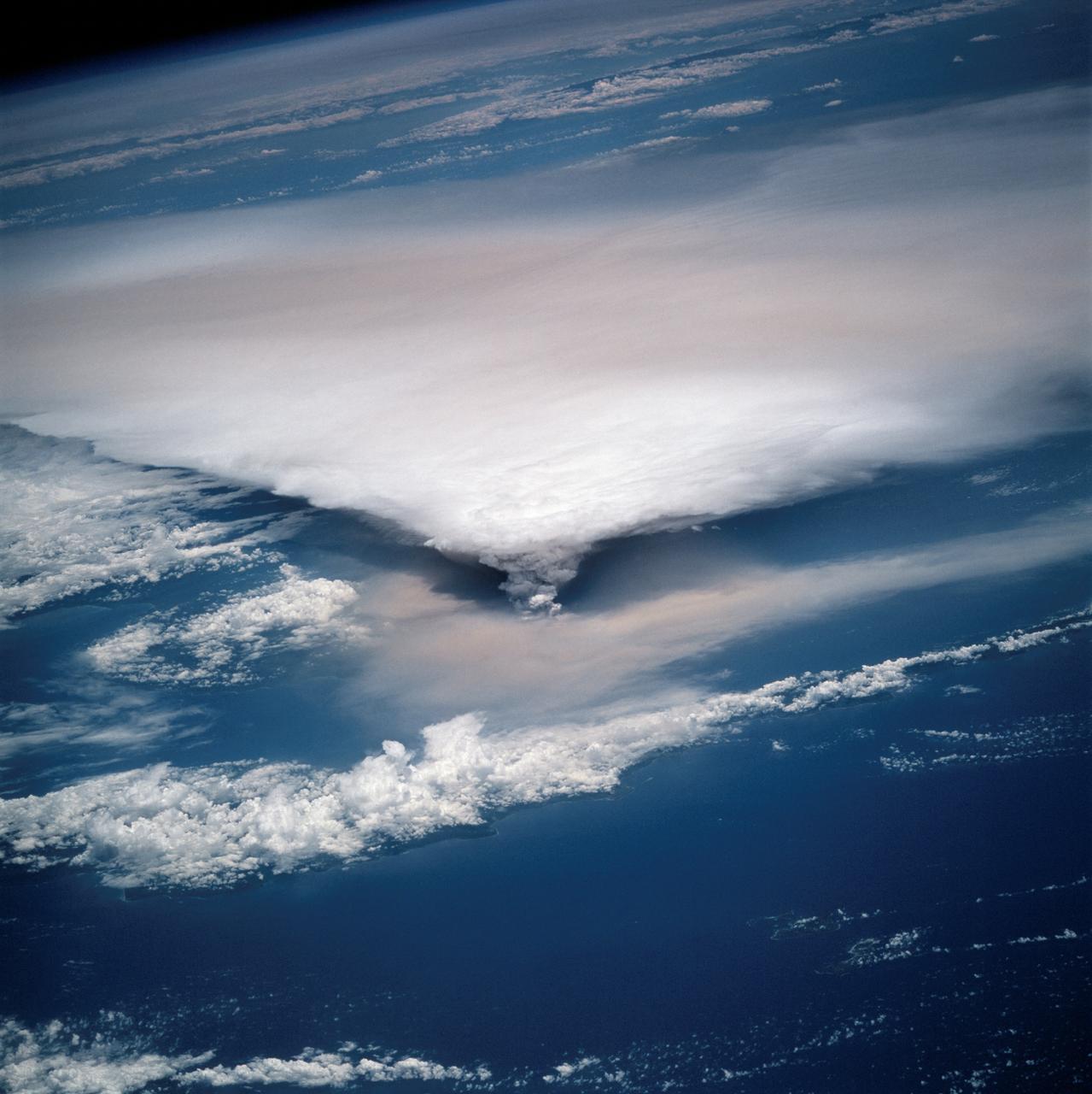
New Guinea volcano (Rabaul) as seen from STS-64
1994-09-29 · NASA Image and Video Library
Barren Island west of Malaysia as seen from STS-67 Endeavour
1995-03-14 · NASA Image and Video Library