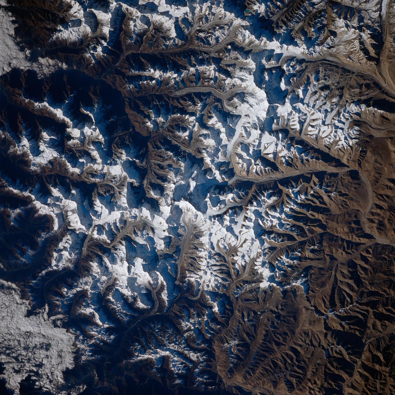
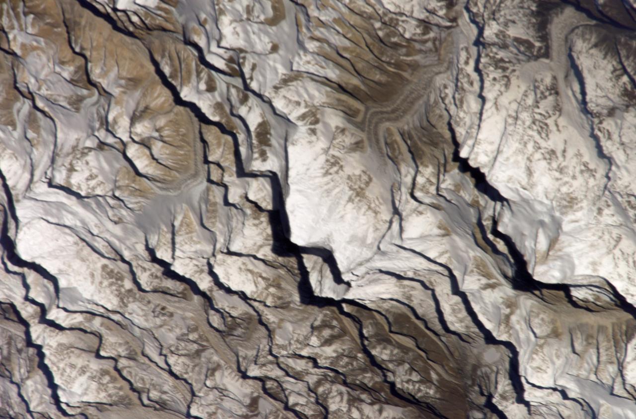
Earth observations taken from Space Shuttle Columbia during STS-80 mission
STS080-733-001 (19 Nov.-7 Dec. 1996) --- This view shows Mount Everest, near the border of Nepal and China, which reaches 29,028 feet in elevation (8,848 meters). Mount Everest is to the left of the V-shaped valley (holding picture with numbers on the right). Tibet is to the right, and Nepal is below. Rongbuk Glacier flows to the north while Khumbu Glacier flows to the south from Mount Everest. Many other glaciers are visible. The snow level is about 4,000 meters south of the divide or rain shadow, and about 6,000 meters north of the divide, in the rain shadow.
- Date
- 1996-11-30
- Collection
- JSC
- Archive
- NASA Image and Video Library
- Type
- photograph
Public domainsafest
Reason: a NASA work: not copyrighted in the United States.
Read from: NASA media usage guidelines: NASA material is not copyrighted in the US unless noted; no third-party credit or mark found.
Credit line
"Earth observations taken from Space Shuttle Columbia during STS-80 mission" (1996-11-30). NASA/JSC. Public domain. https://images.nasa.gov/details/sts080-733-001Need photos for a whole script? Add Find Any Photo to Claude and ask for this one by its id: 15577.
More like this
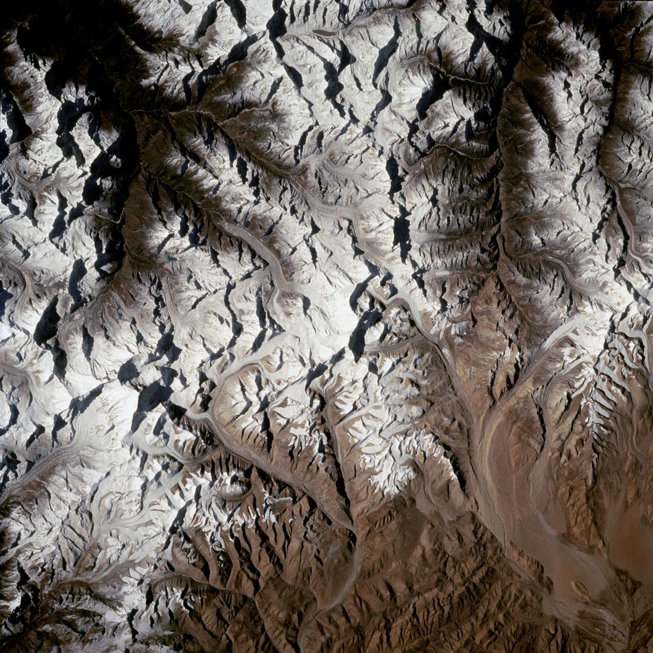
Mount Everest region as seen from the STS-66 orbiter Atlantis
1994-11-14 · NASA Image and Video Library
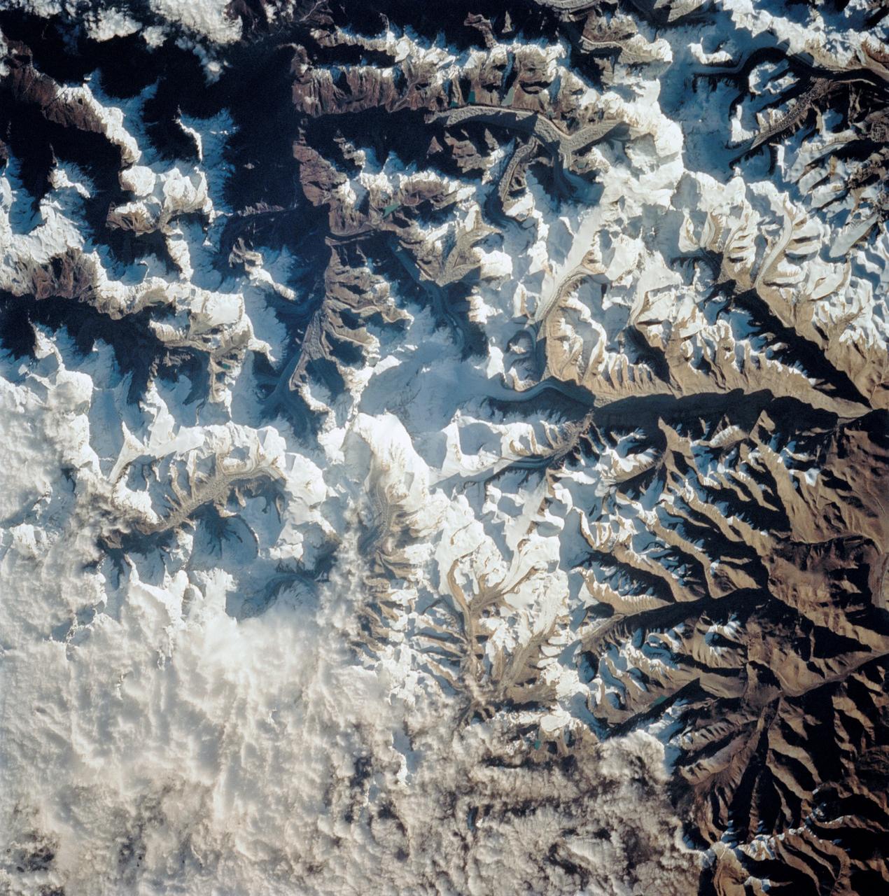
Mount Everest as seen from STS-58
1993-10-30 · NASA Image and Video Library
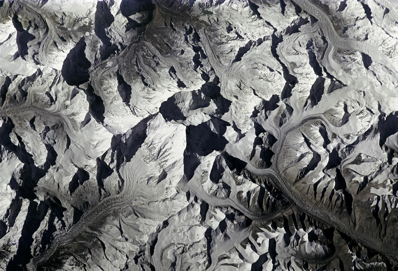
Mt. Everest as seen from STS-66 shuttle Atlantis
1994-11-14 · NASA Image and Video Library
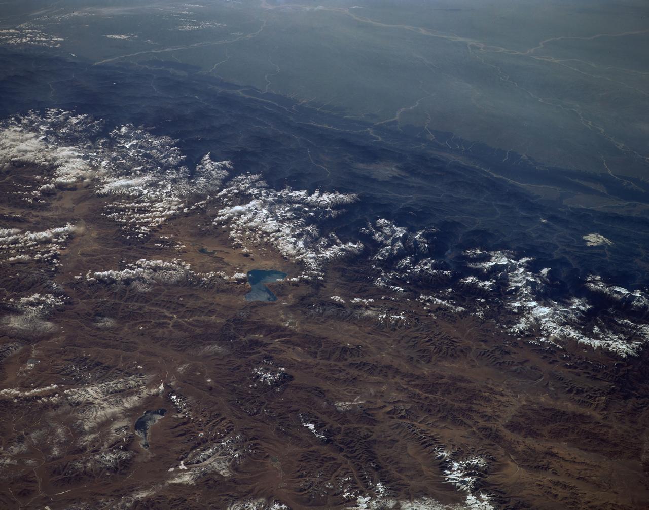
Himalayas as seen from STS-66 shuttle Atlantis
1994-11-14 · NASA Image and Video Library
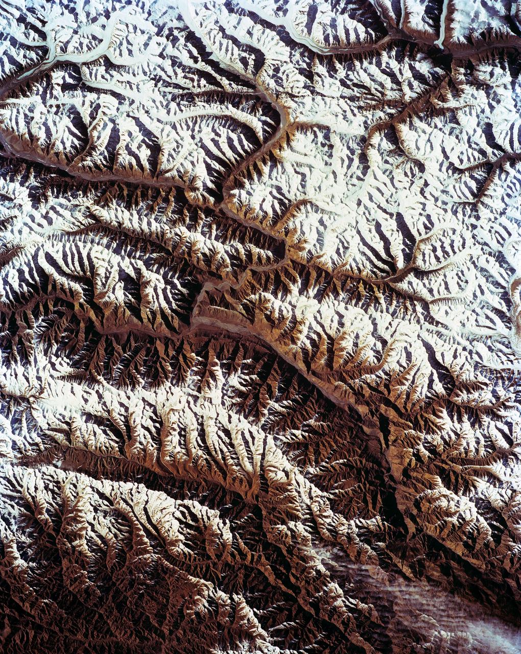
STS-56 Earth observation of Karakorum Range of north India
1993-04-17 · NASA Image and Video Library
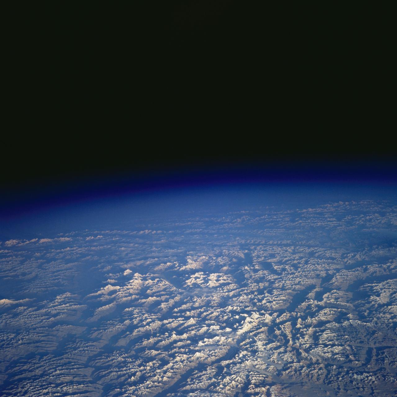
Pakistan as seen from STS-58
1993-10-20 · NASA Image and Video Library
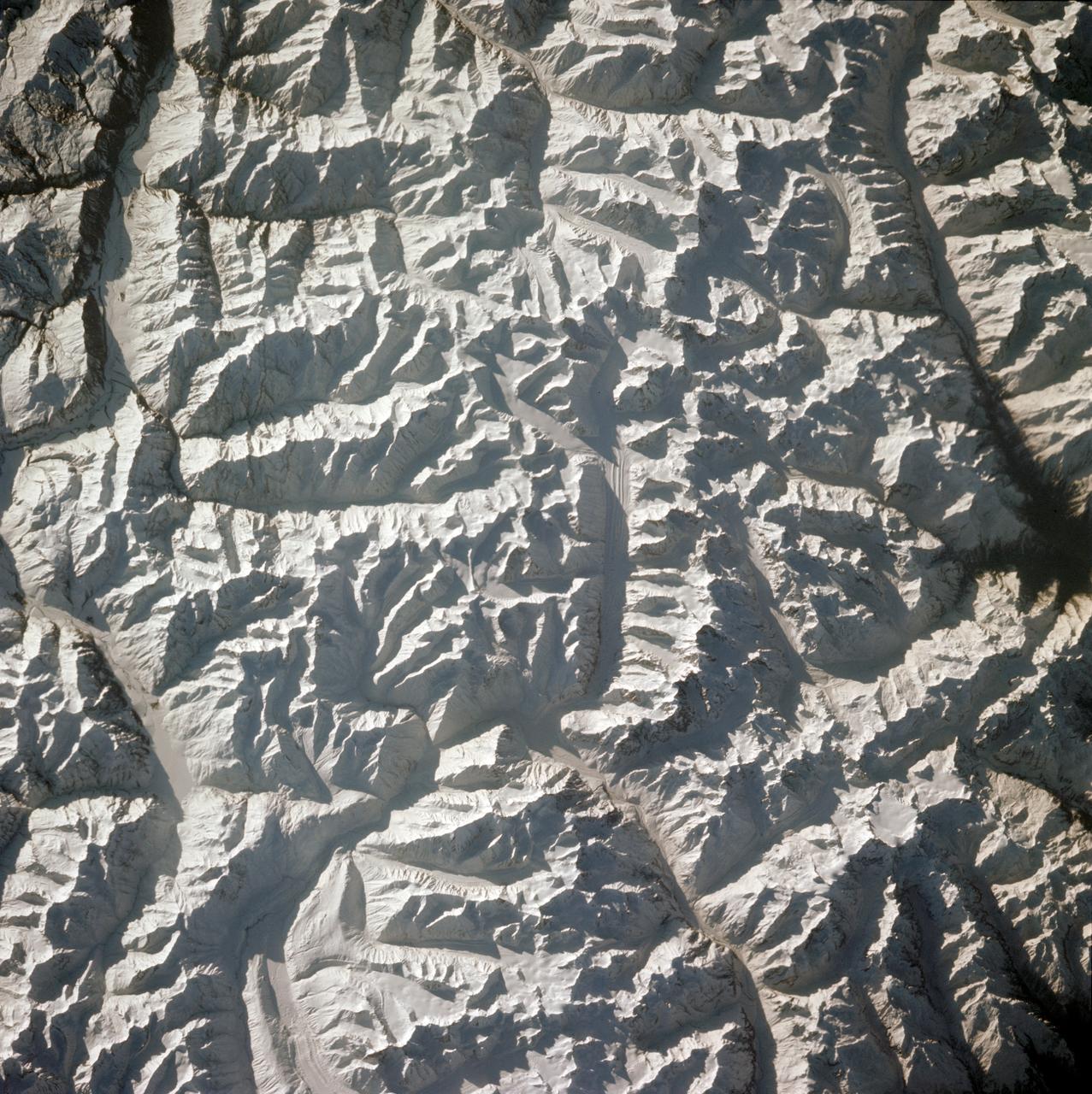
Himalayan Mountain Range
1981-04-14 · NASA Image and Video Library
International Space Station (ISS)
2002-03-20 · NASA Image and Video Library