
Earth Science
The LAGEOS I (Laser Geodynamics Satellite) was developed and launched by the Marshall Space Flight Center on May 4, 1976 from Vandenberg Air Force Base, California. The two-foot diameter satellite orbited the Earth from pole to pole and measured the movements of the Earth's surface.
- Date
- 1976-01-01
- Collection
- MSFC
- Archive
- NASA Image and Video Library
- Type
- photograph
Public domainsafest
Reason: a NASA work: not copyrighted in the United States.
Read from: NASA media usage guidelines: NASA material is not copyrighted in the US unless noted; no third-party credit or mark found.
Credit line
"Earth Science" (1976-01-01). NASA/MSFC. Public domain. https://images.nasa.gov/details/7667283Need photos for a whole script? Add Find Any Photo to Claude and ask for this one by its id: 15685.
More like this
Space Shuttle Project
1992-10-22 · NASA Image and Video Library
Space Shuttle Project
1992-11-01 · NASA Image and Video Library
Earth and Moon as Viewed by Mariner 10
1999-12-21 · NASA Image and Video Library
Space Shuttle Projects
1985-04-01 · NASA Image and Video Library
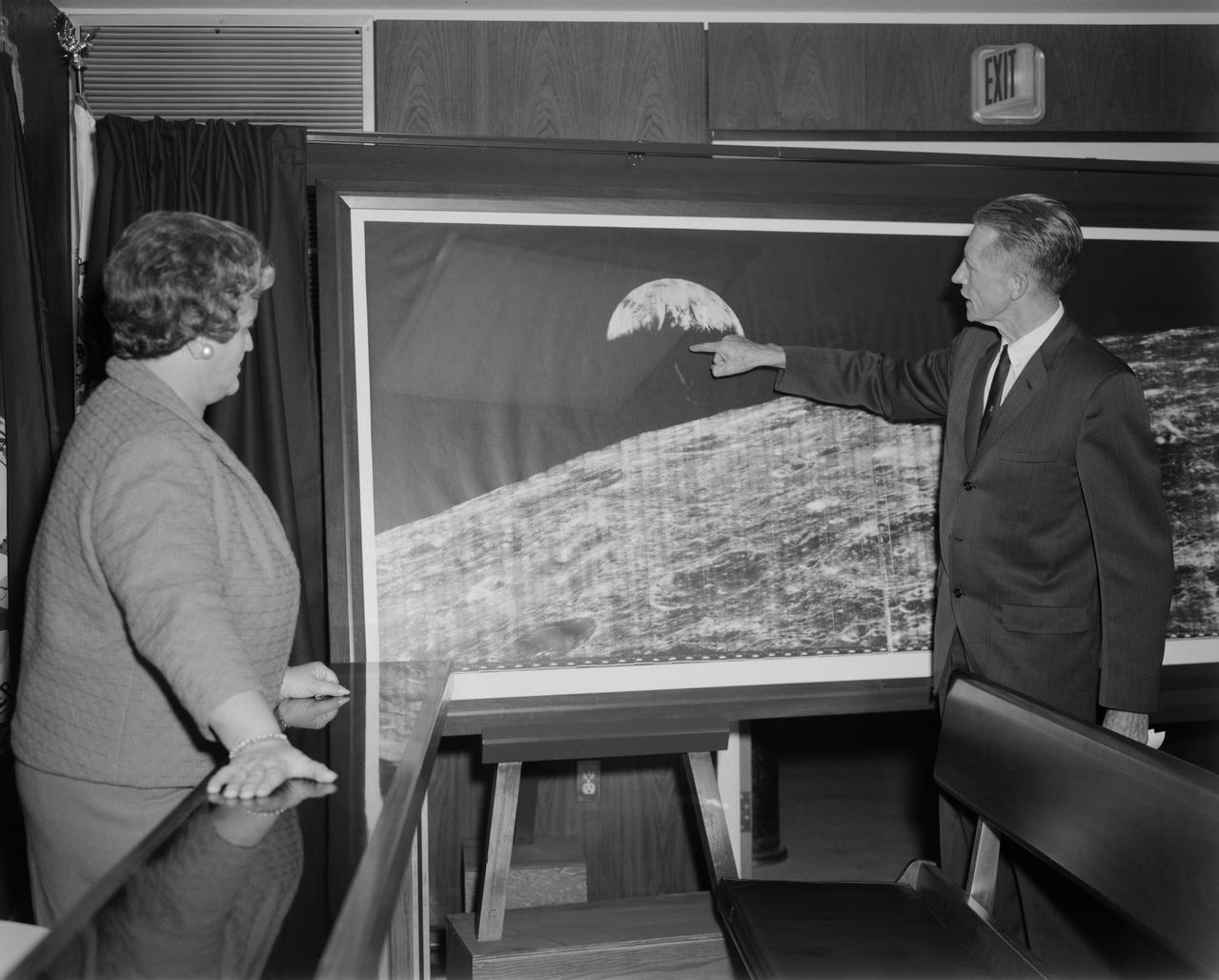
The Picture of the Century with Floyd Thompsona and Ann Hitch Kilgore, Former Mayor of Hampton VA.
1966-12-14 · NASA Image and Video Library
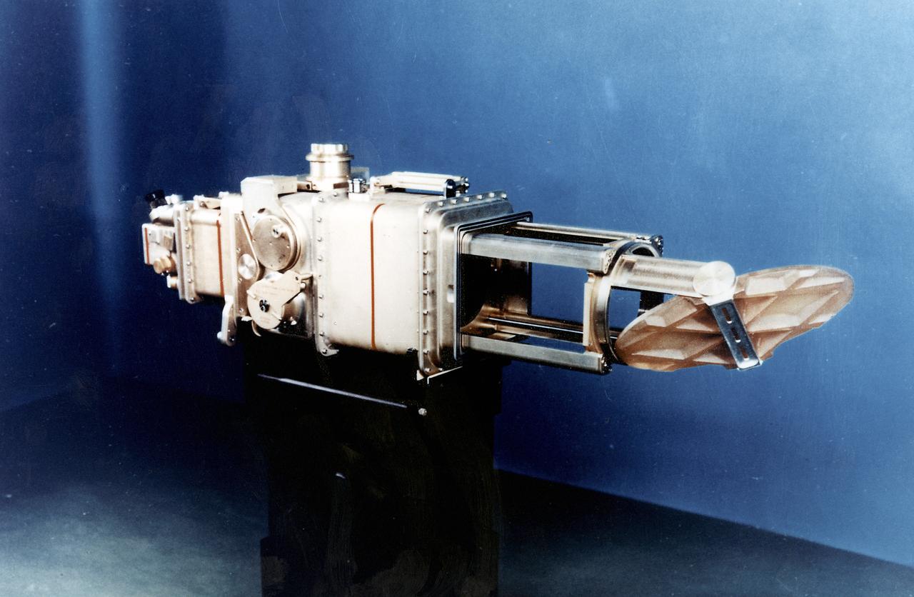
Skylab
1970-01-01 · NASA Image and Video Library
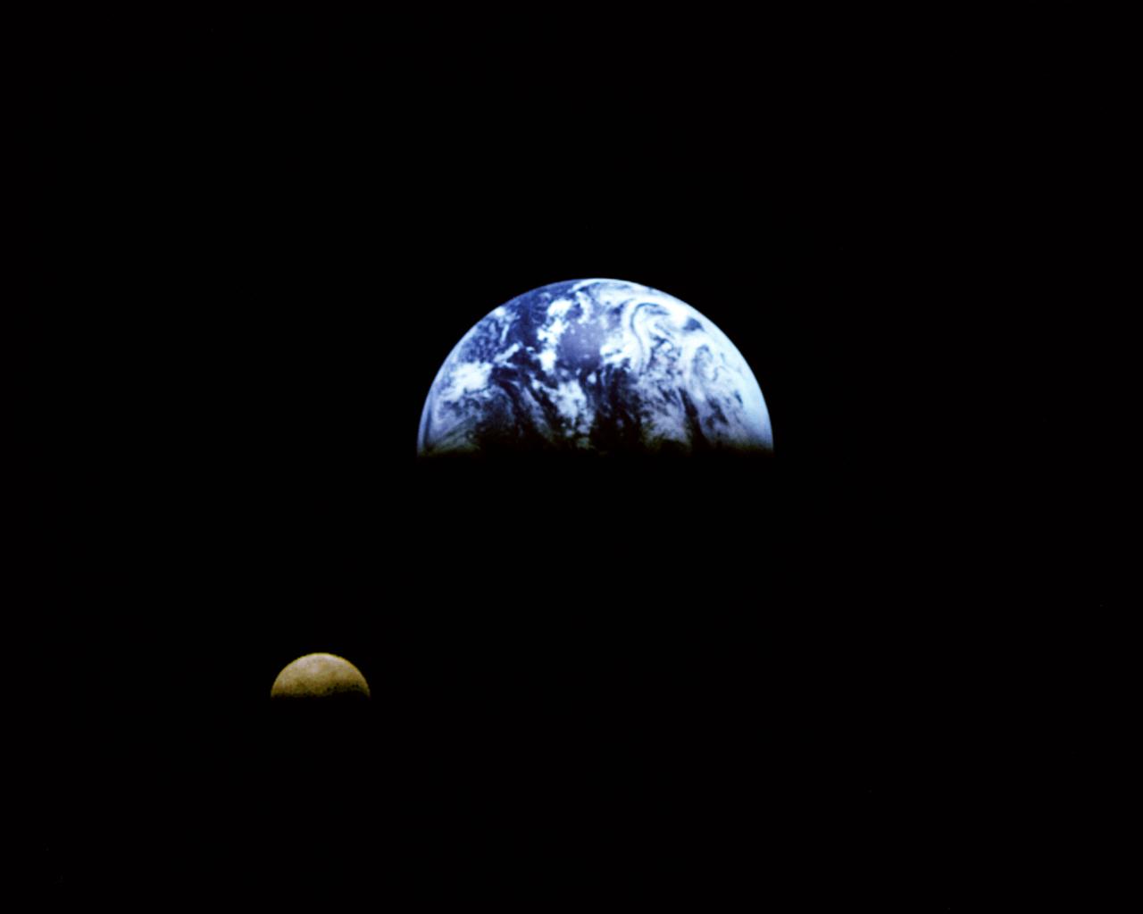
Galileo view of Moon orbiting the Earth taken from 3.9 million miles
1992-12-16 · NASA Image and Video Library
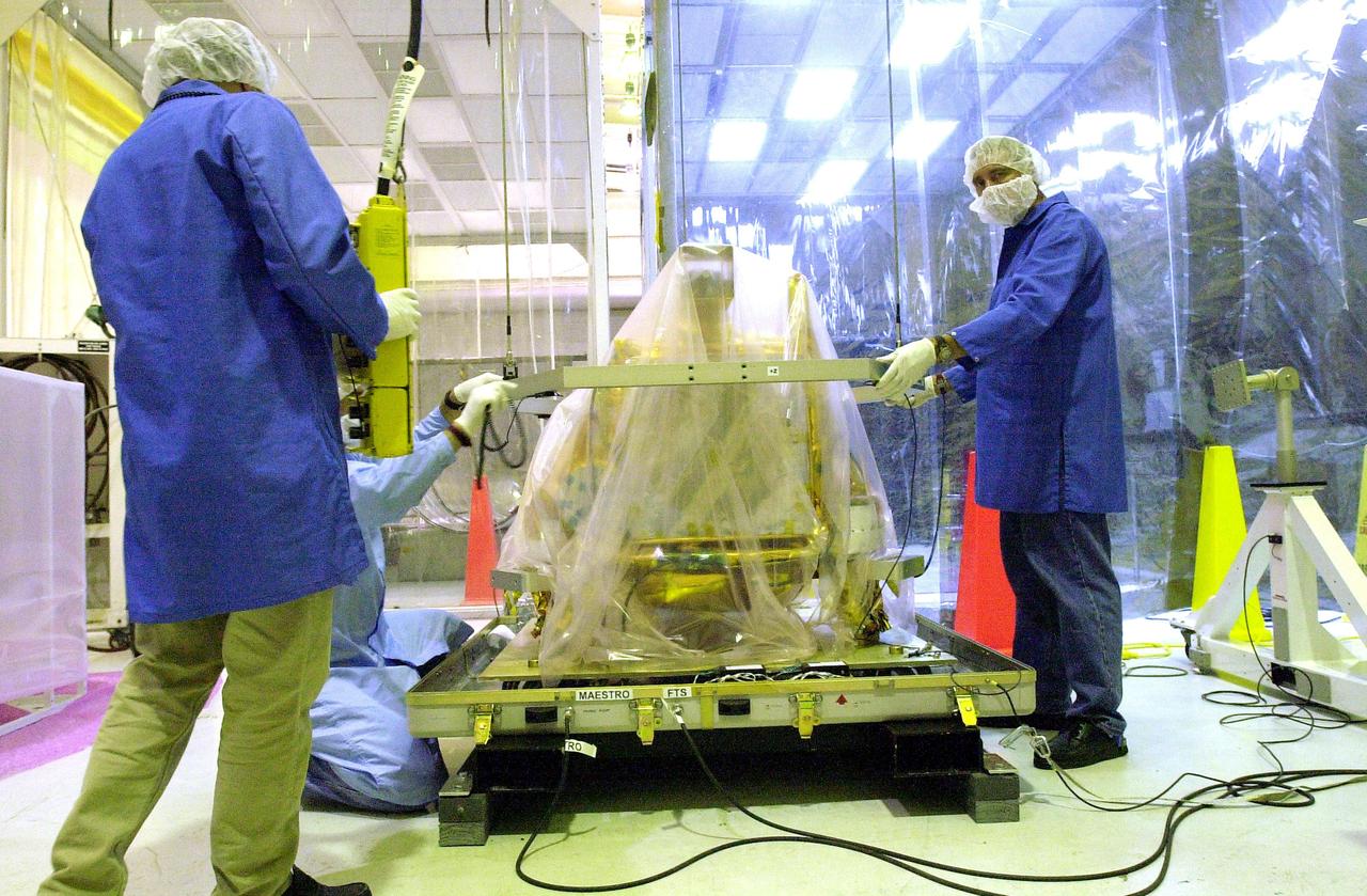
KENNEDY SPACE CENTER, FLA. - Workers at Vandenberg Air Force Base, Calif., prepare to move the SciSat-1 spacecraft. SciSat-1 weighs approximately 330 pounds and will be placed in a 400-mile-high polar orbit to investigate processes that control the distribution of ozone in the upper atmosphere. The
2003-06-26 · NASA Image and Video Library