Earth Science
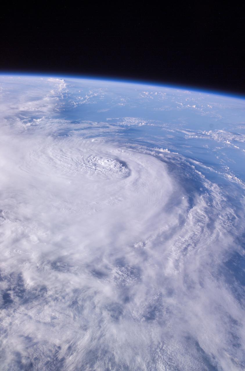
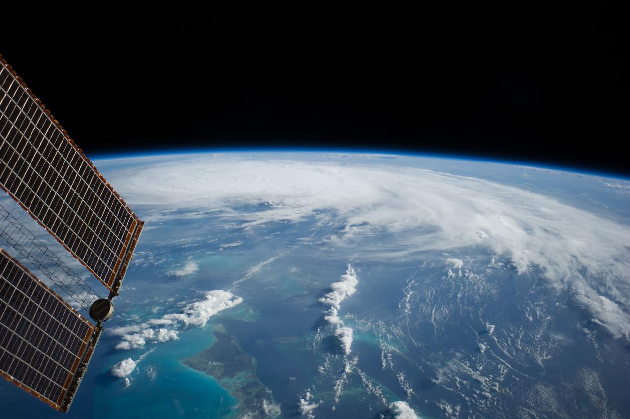
This panoramic view of Hurricane Charley was photographed by the Expedition 9 crew aboard the International Space Station (ISS) on August 13, 2004, at a vantage point just north of Tampa, Florida. The small eye was not visible in this view, but the raised cloud tops near the center coincide roughly with the time that the storm began to rapidly strengthen. The category 2 hurricane was moving north-northwest at 18 mph packing winds of 105 mph. Crew Earth Observations record Earth surface changes over time, as well as more fleeting events such as storms, floods, fires, and volcanic eruptions.
- Date
- 2004-08-13
- Collection
- MSFC
- Archive
- NASA Image and Video Library
- Type
- photograph
Public domainsafest
Reason: a NASA work: not copyrighted in the United States.
Read from: NASA media usage guidelines: NASA material is not copyrighted in the US unless noted; no third-party credit or mark found.
Credit line
"Earth Science" (2004-08-13). NASA/MSFC. Public domain. https://images.nasa.gov/details/0401560Need photos for a whole script? Add Find Any Photo to Claude and ask for this one by its id: 20530.
More like this
Earth Science
2004-09-15 · NASA Image and Video Library
Earth Science
2004-09-15 · NASA Image and Video Library
Earth Science
2004-09-11 · NASA Image and Video Library
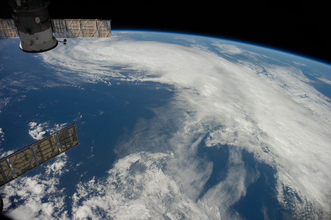
Earth Observation
2014-07-04 · NASA Image and Video Library
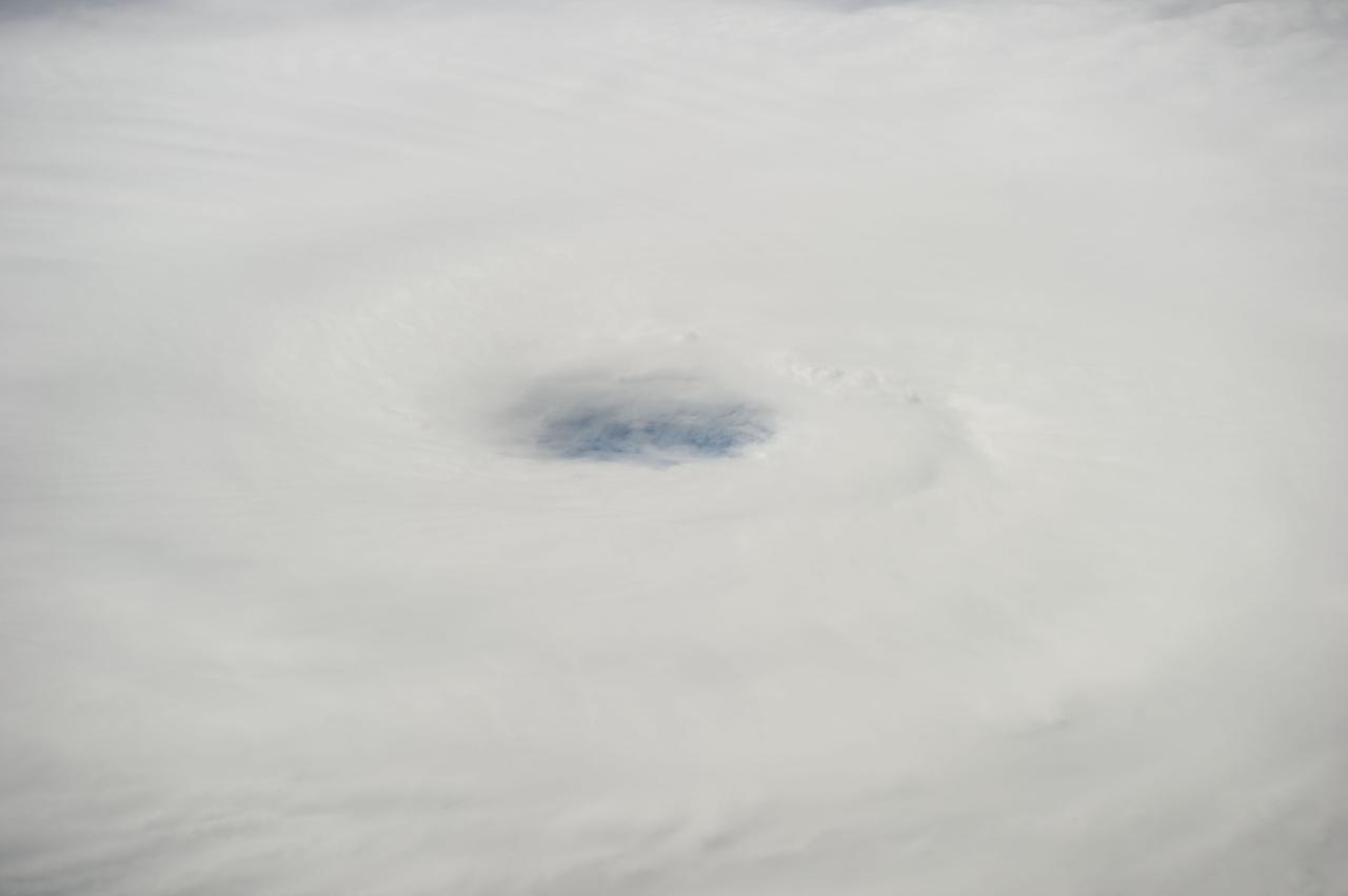
Hurricane Edouard taken by Expedition 41 crewmember
2014-09-16 · NASA Image and Video Library
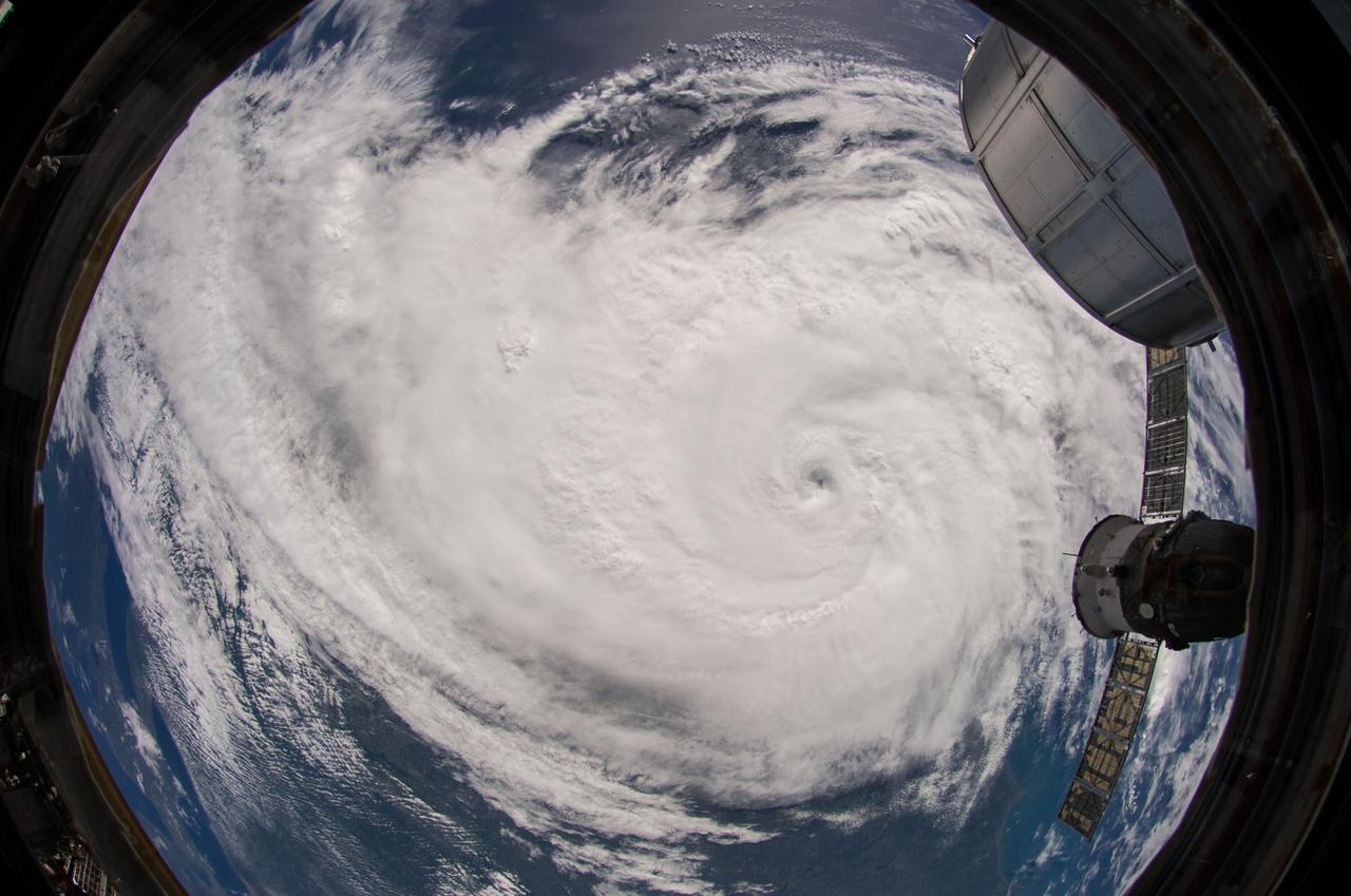
Earth Observation
2014-07-04 · NASA Image and Video Library
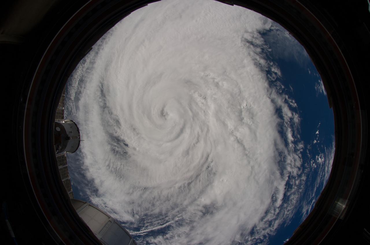
Earth Observation
2014-07-04 · NASA Image and Video Library
Earth Observation
2014-07-03 · NASA Image and Video Library