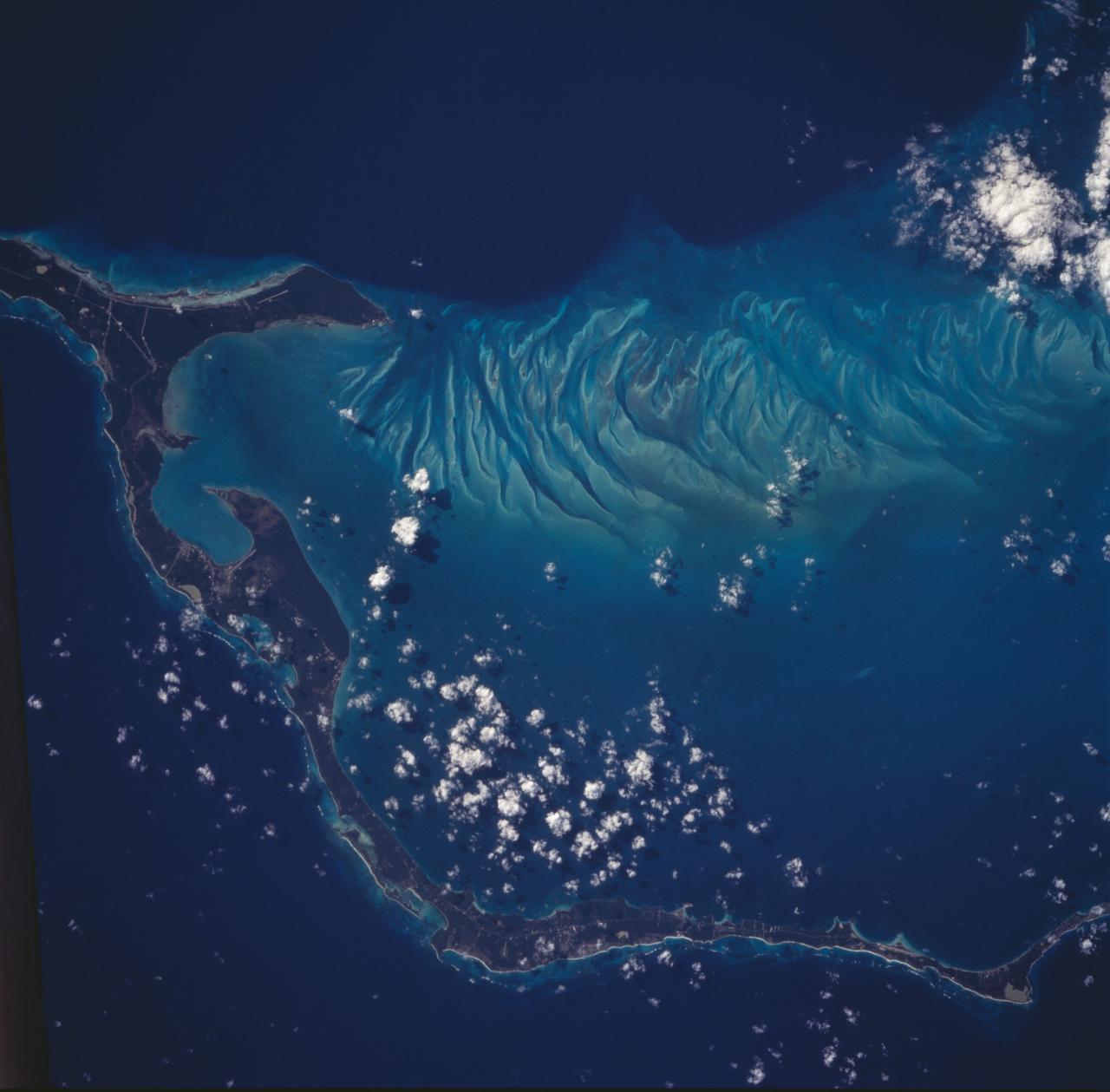
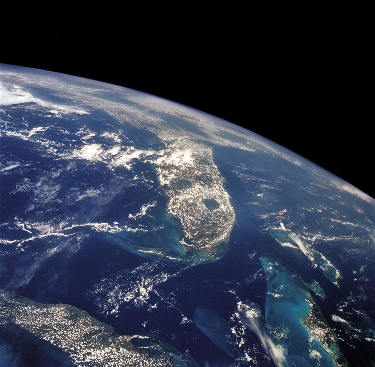
Eleuthera Island, Bahamas seen from STS-66
The striking views provided by the Bahama Islands lend insights into the important problems of limestone (CaCO3) production and transport. This photograph includes the southern part of Eleuthera Island in the northern Bahamas. The hook-shaped island encloses a relatively shallow platform (light blue) which is surrounded by deep water (dark blue). The feathery pattern along the western edge of Eleuthera's platform are sand bars and sand channels created by tidal currents sweeping on and off the platform. The channels serve to funnel large amounts of CaCO3 off the platform and into the deeper water.
- Date
- 1994-11-14
- Collection
- JSC
- Archive
- NASA Image and Video Library
- Type
- photograph
Public domainsafest
Reason: a NASA work: not copyrighted in the United States.
Read from: NASA media usage guidelines: NASA material is not copyrighted in the US unless noted; no third-party credit or mark found.
Credit line
"Eleuthera Island, Bahamas seen from STS-66" (1994-11-14). NASA/JSC. Public domain. https://images.nasa.gov/details/sts066-88-056Need photos for a whole script? Add Find Any Photo to Claude and ask for this one by its id: 13328.
More like this
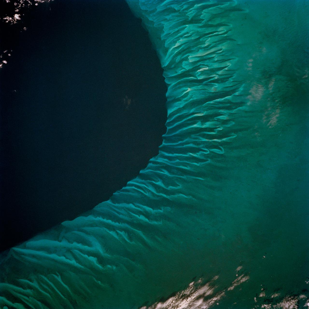
Earth observations from STS-62 flight
1994-03-07 · NASA Image and Video Library
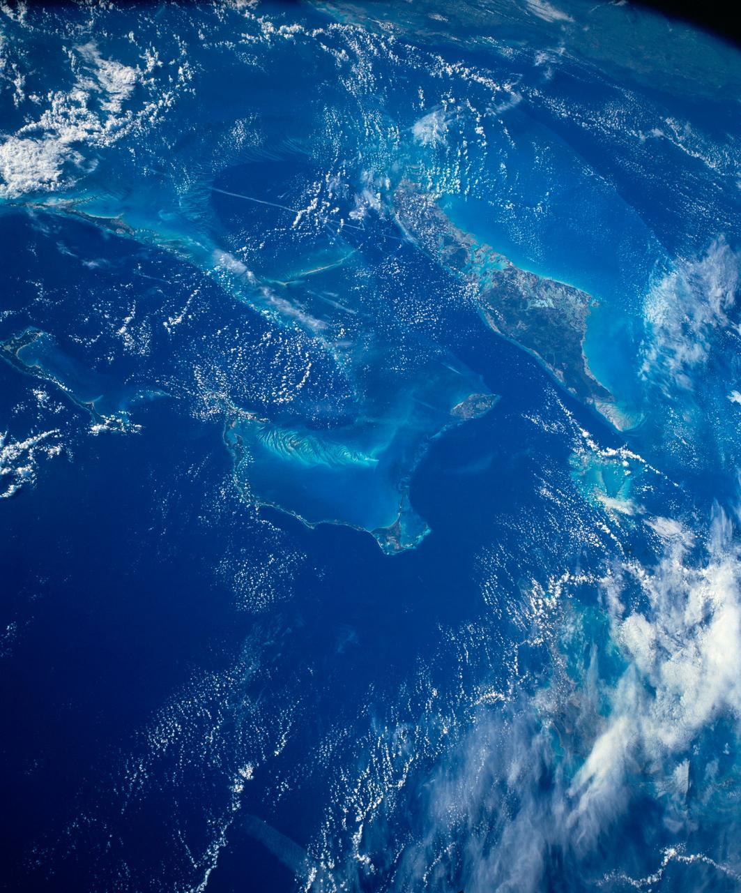
Bahama Banks, Tongue of the Ocean, Bahamas
1993-01-19 · NASA Image and Video Library
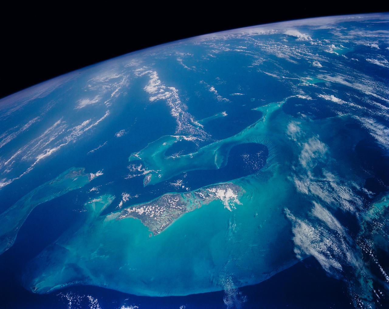
Bahamas
1992-11-01 · NASA Image and Video Library
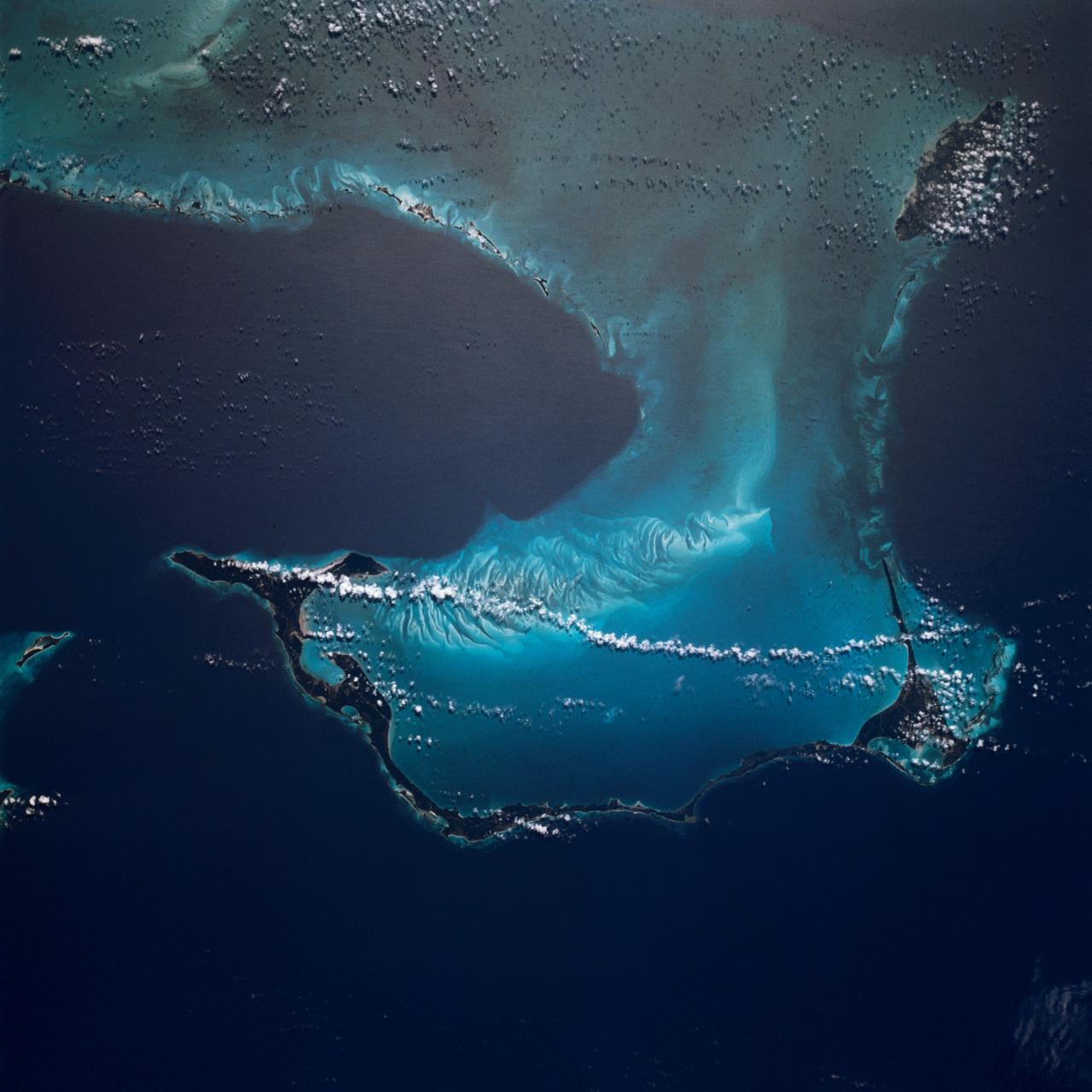
Bahama Islands
1983-04-09 · NASA Image and Video Library
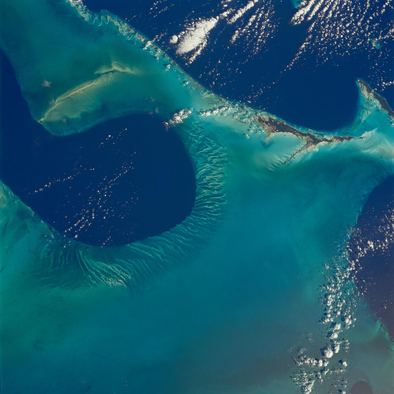
Earth observations taken from Space Shuttle Columbia during STS-80 mission
1996-12-03 · NASA Image and Video Library
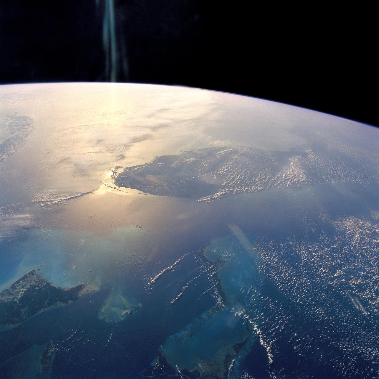
Florida and Bahamas in Sunglint
1992-04-02 · NASA Image and Video Library
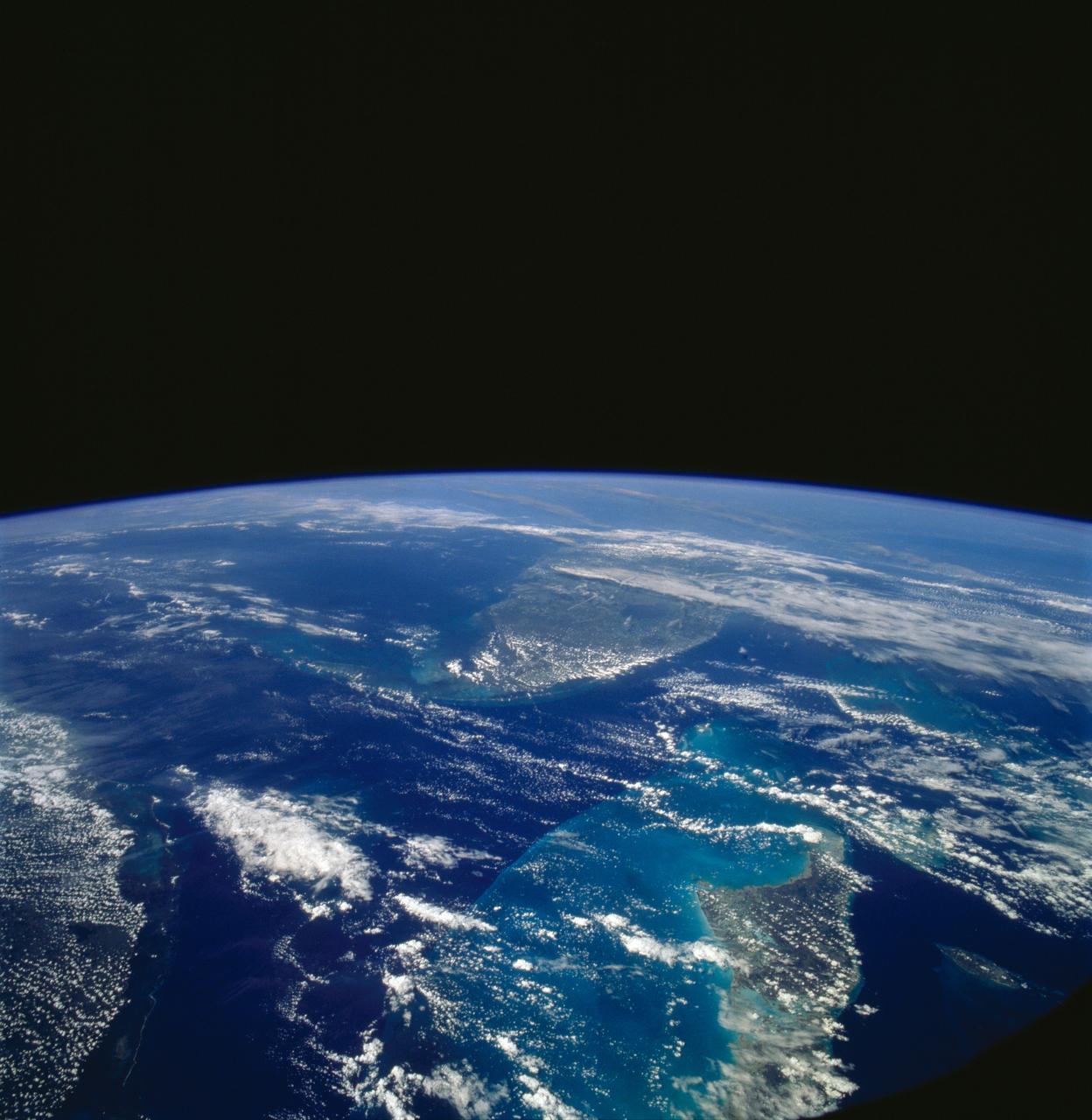
Florida and the Bahamas as seen from STS-58
1993-10-30 · NASA Image and Video Library
Florida, Bahamas, Cuba and Gulf Stream, USA
1992-08-08 · NASA Image and Video Library