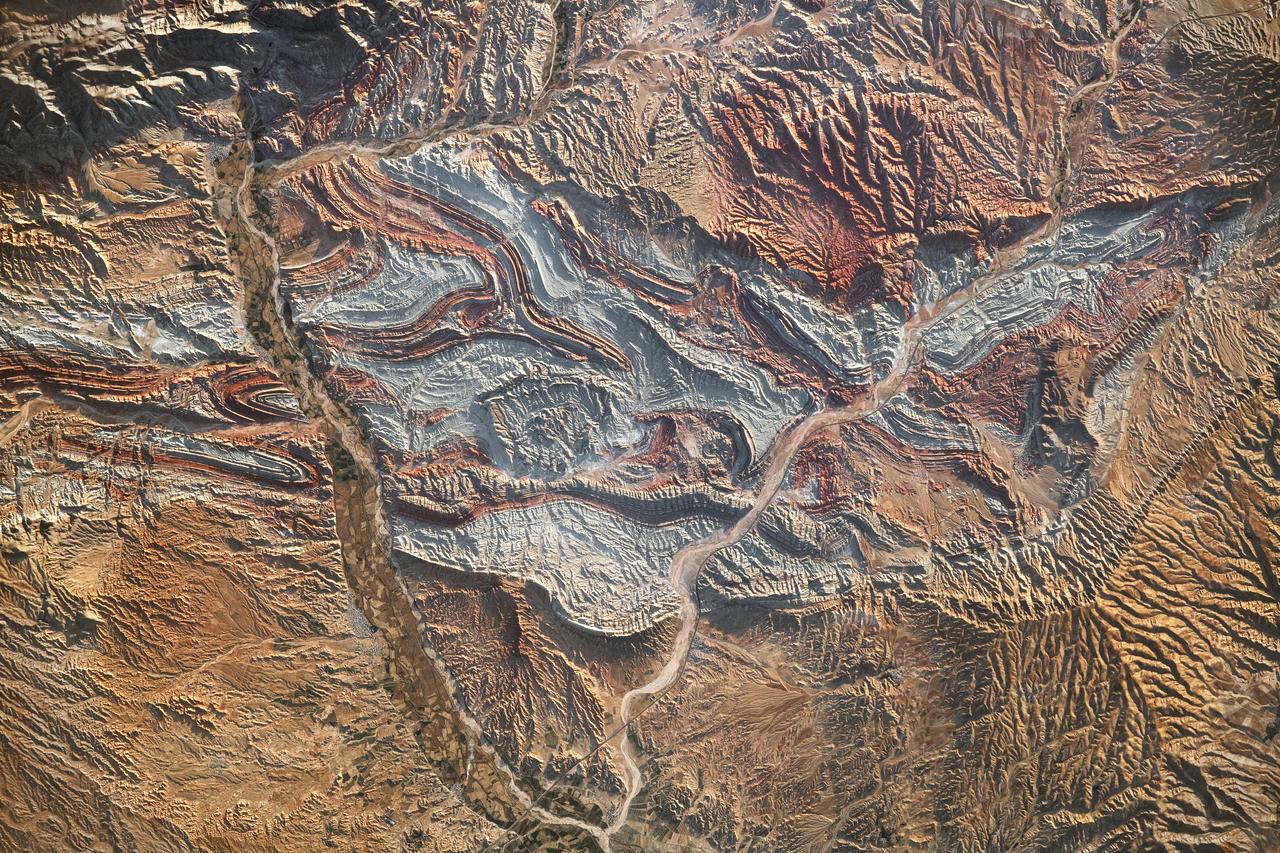
Folded Rocks of Northwest Iran
iss069-e-089946_lrg (09/19/2023) --- An astronaut aboard the International Space Station took this photograph of the rugged landscape of the Aladaghlar Mountains in northwestern Iran. Ridges cast shadows in the valleys and other low elevation areas, creating a three-dimensional appearance. Human alterations to the landscape are most evident in riverbeds, where the even topography is easier to build on and navigate. Natural processes over millions of years have folded rock layers of various compositions and colors into the curved patterns seen here. These folds are produced by tectonic forces operating along the convergent plate boundary of the Arabia and Eurasia plates. The convergence of these tectonic plates causes uplift, folding, and deformation of the colorful rock layers, and subsequent erosion exposes them. On the left side of this photo, the Qezel Ozan River, a major river in northern Iran, cuts across the landscape. Agricultural fields are visible along the riverbanks tucked between the mountains. The Qezel Ozan also intersects the Zanjan-Tabriz freeway (Freeway 2), a major thoroughfare built on a dried riverbed connecting the cities of Tehran and Tabriz. Astronaut photogr
- Date
- 2023-09-19
- Collection
- JSC
- Archive
- NASA Image and Video Library
- Type
- photograph
Public domainsafest
Reason: a NASA work: not copyrighted in the United States.
Read from: NASA media usage guidelines: NASA material is not copyrighted in the US unless noted; no third-party credit or mark found.
Credit line
"Folded Rocks of Northwest Iran" (2023-09-19). NASA/JSC. Public domain. https://images.nasa.gov/details/iss069-e-089946_lrgNeed photos for a whole script? Add Find Any Photo to Claude and ask for this one by its id: 15754.
More like this
Earth Observation
2013-08-14 · NASA Image and Video Library
Earth Observation
2014-08-25 · NASA Image and Video Library
Kurdistan Region, Asia as seen from STS-58
1993-10-30 · NASA Image and Video Library
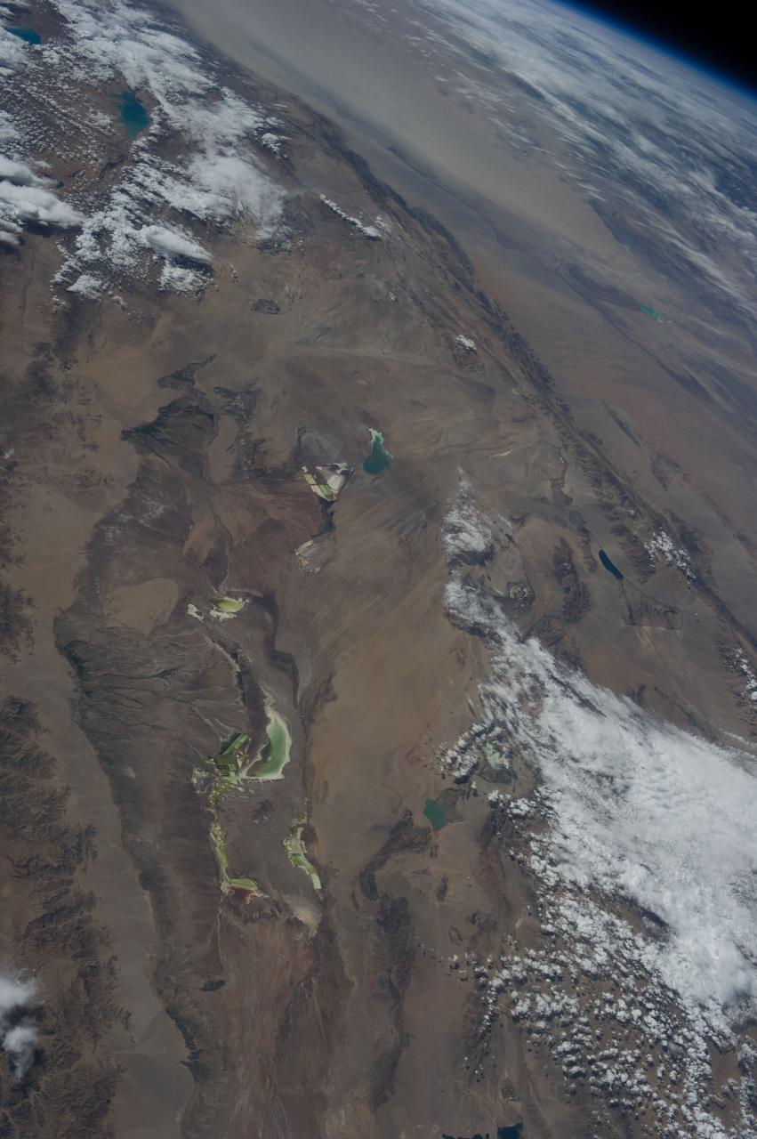
Earth Observation
2013-08-20 · NASA Image and Video Library
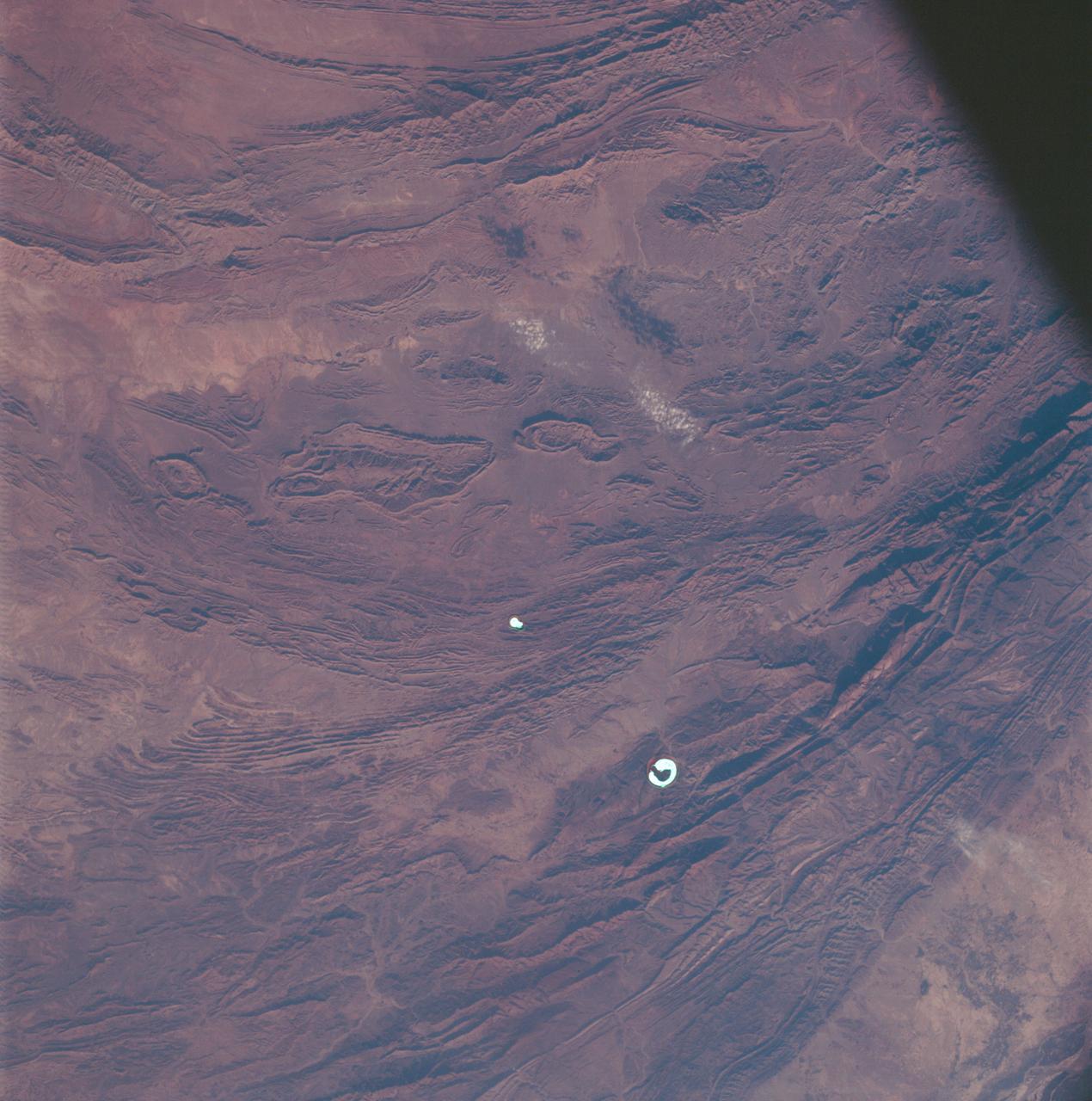
Mountain ranges in western Pakistan as seen from the Apollo 7 spacecraft
1968-10-15 · NASA Image and Video Library
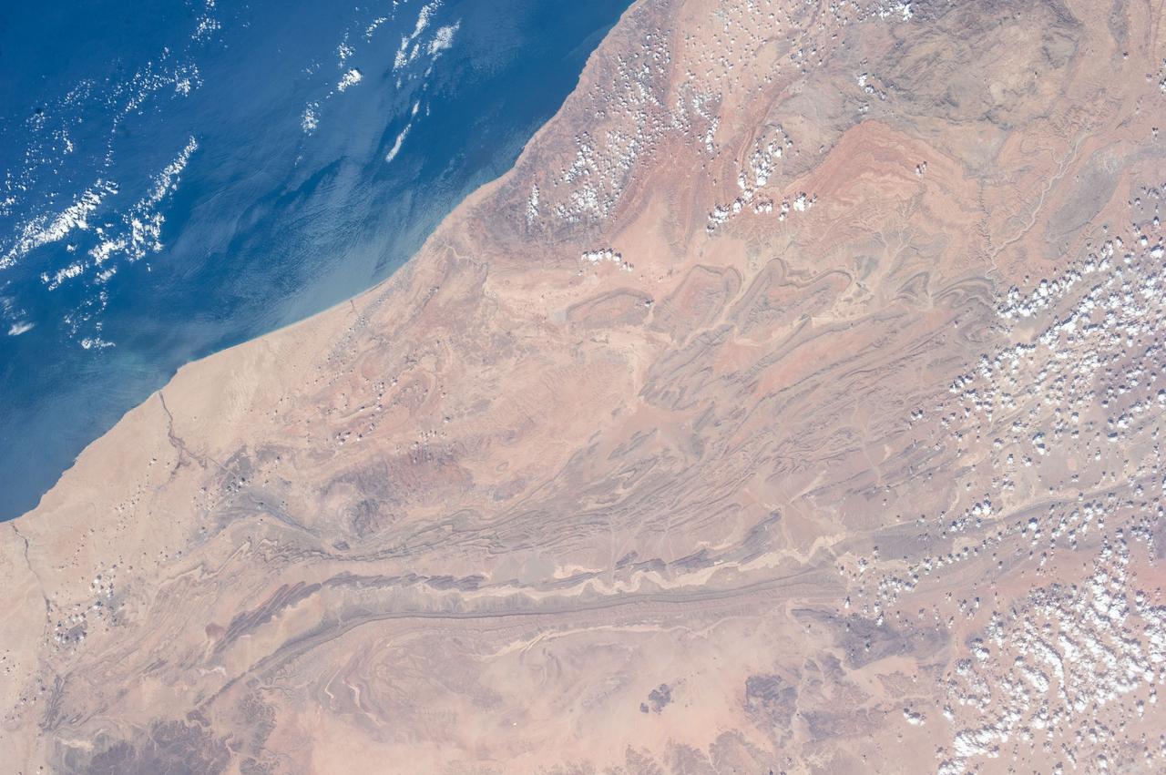
Earth Observation taken during the Expedition 37 mission
2013-09-14 · NASA Image and Video Library

Meteor Crater in Arizona
2026-01-26 · NASA Image and Video Library
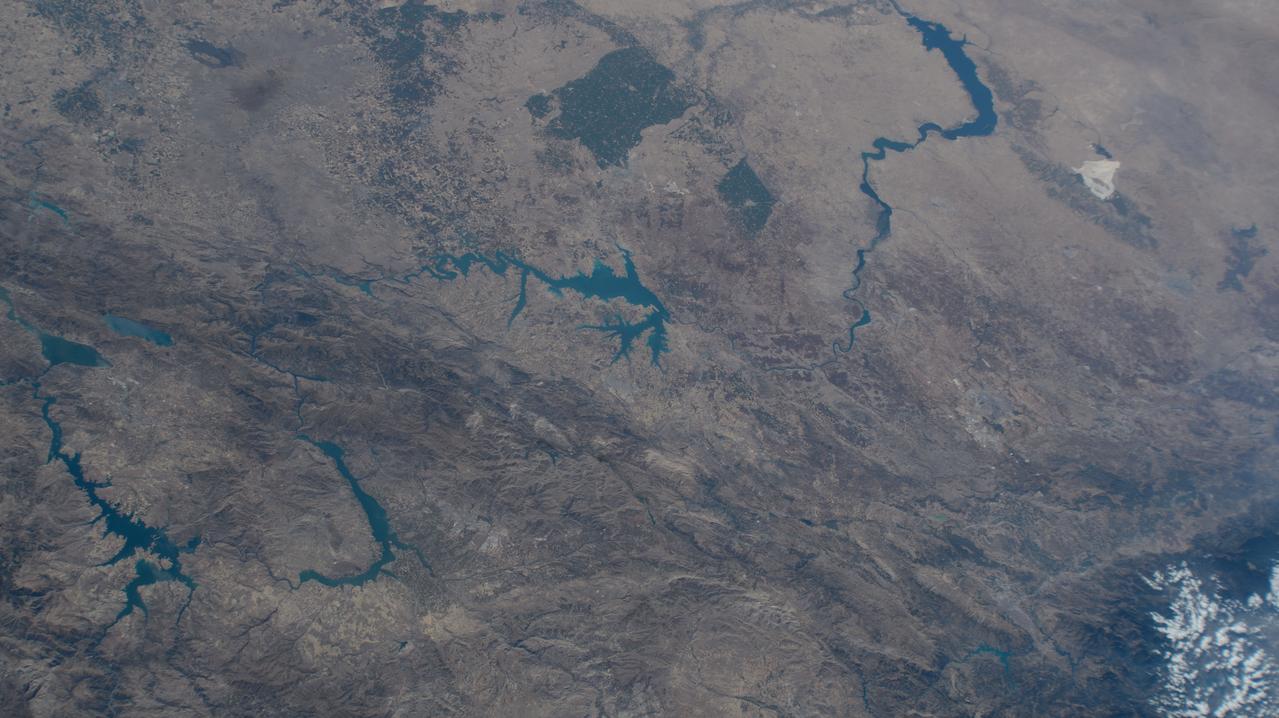
Lakes in Syria and Turkiye
2024-08-09 · NASA Image and Video Library