
Geological Boundary at the Edge of Solander Point
NASA Opportunity used the navigation camera Navcam on its mast to capture this southward facing scene along the eastern flank of Solander Point during the 3,387 Martian day, or sol, of the rover work on Mars Aug. 3, 2013.
- Date
- 2013-08-14
- Photographer / author
- NASA/JPL-Caltech
- Collection
- JPL
- Archive
- NASA Image and Video Library
- Type
- photograph
Public domainsafest
Reason: a NASA work: not copyrighted in the United States.
Read from: NASA media usage guidelines: NASA material is not copyrighted in the US unless noted; no third-party credit or mark found.
Credit line
"Geological Boundary at the Edge of Solander Point" (2013-08-14). NASA/JPL/NASA/JPL-Caltech. Public domain. https://images.nasa.gov/details/PIA17087Need photos for a whole script? Add Find Any Photo to Claude and ask for this one by its id: 22985.
More like this
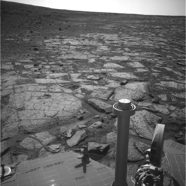
Northern Tip of Solander Point on Endeavour Crater Rim
2013-08-14 · NASA Image and Video Library
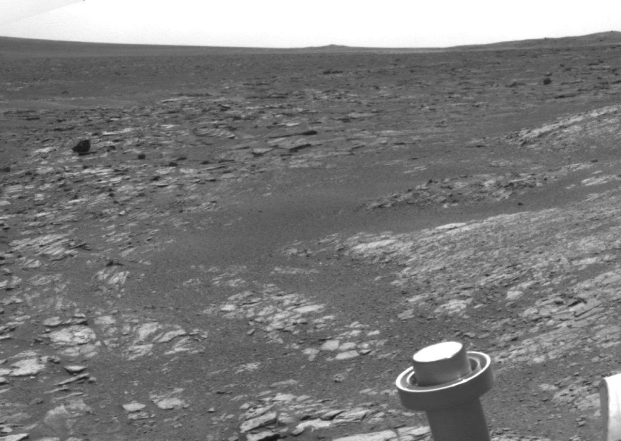
Opportunity View Leaving Cape York
2013-06-07 · NASA Image and Video Library
Mars Hill-Climbing Opportunity at Solander Point
2013-10-23 · NASA Image and Video Library
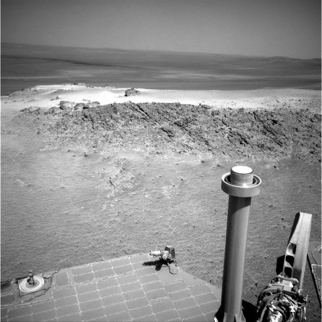
Approaching Greeley Haven on Endeavour Rim
2012-01-05 · NASA Image and Video Library
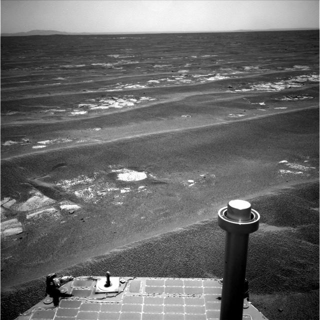
Drive Direction Image by Opportunity After Surpassing 20 Miles
2011-07-19 · NASA Image and Video Library
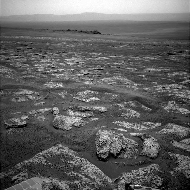
Approaching Endeavour Crater, Sol 2,680
2011-10-10 · NASA Image and Video Library
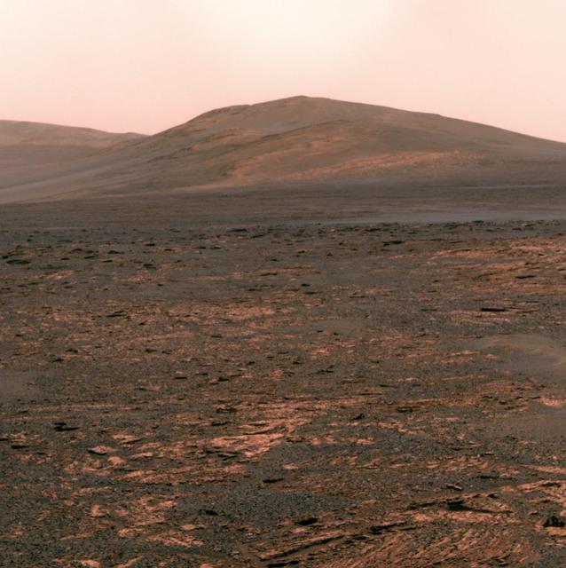
Opportunity view of Solander Point
2013-06-07 · NASA Image and Video Library
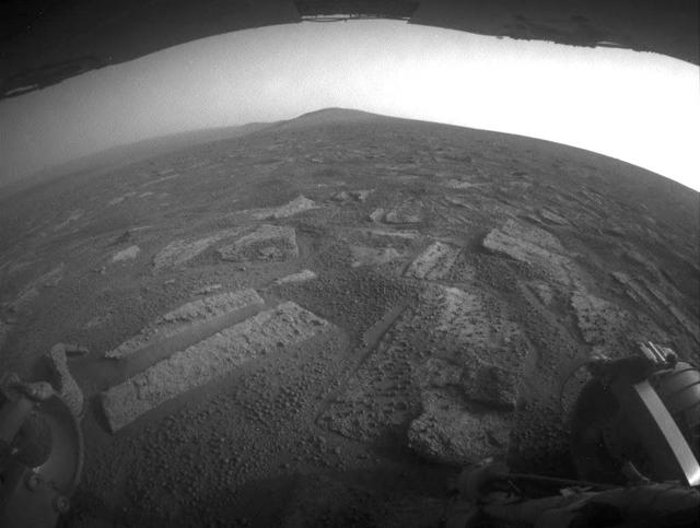
Opportunity View in Botany Bay Toward Solander Point
2013-07-02 · NASA Image and Video Library