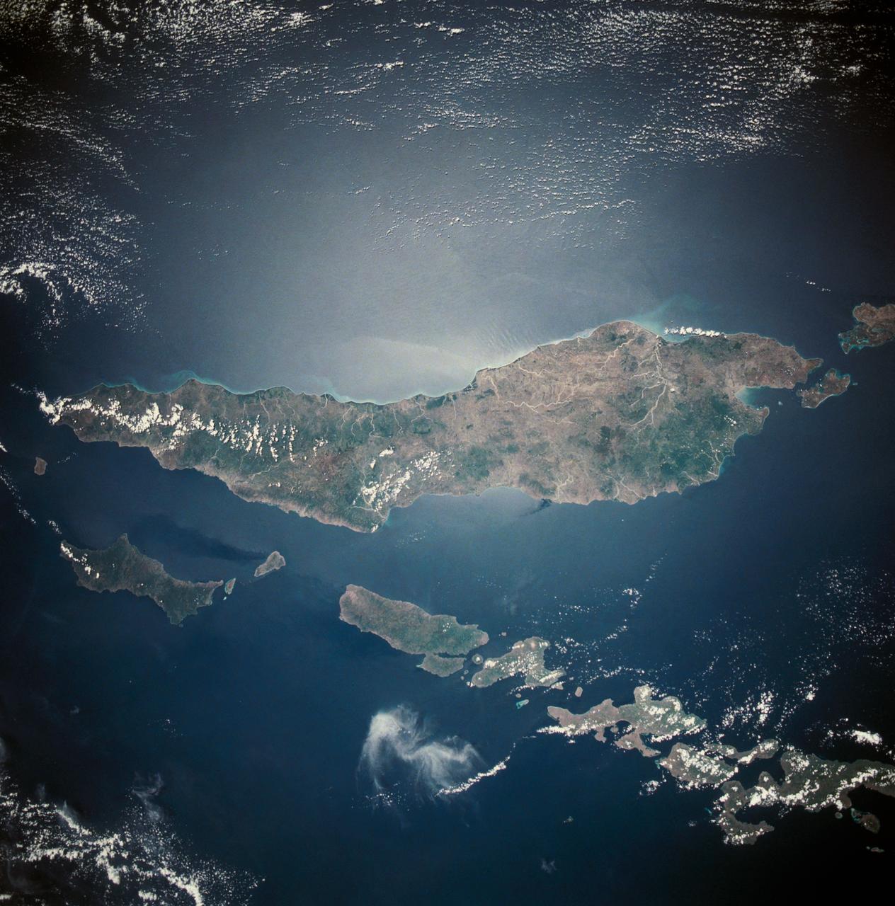
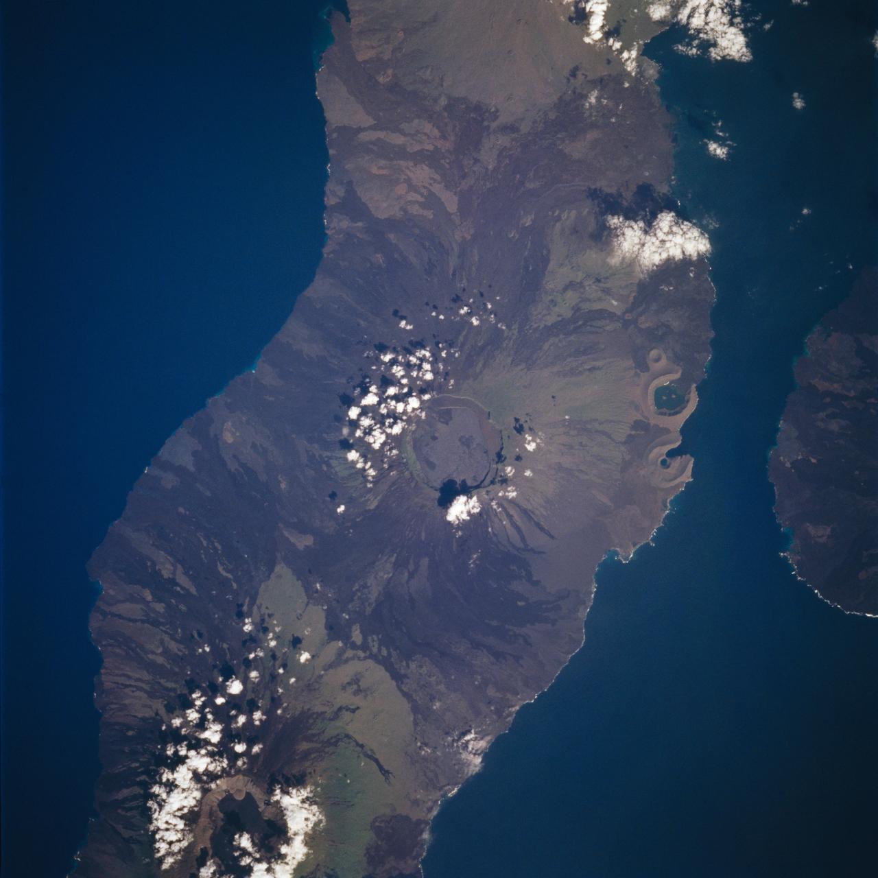
Island of Timor, Indonesia
This almost totally cloud free, photo of the island of Timor, Indonesia (9.0S, 125.0E) illustrates the volcanic origin of the over 1500 islands of Indonesia. Close examination of the photo reveals several eroded volcanoes on the Island of Timor and several of the adjacent islands. The linear alignment of the volcanoes, as seen from space, indicates the edges of the tectonic plates of the Earth's crust where volcanic activity is most common.
- Date
- 1989-11-27
- Collection
- JSC
- Archive
- NASA Image and Video Library
- Type
- photograph
Public domainsafest
Reason: a NASA work: not copyrighted in the United States.
Read from: NASA media usage guidelines: NASA material is not copyrighted in the US unless noted; no third-party credit or mark found.
Credit line
"Island of Timor, Indonesia" (1989-11-27). NASA/JSC. Public domain. https://images.nasa.gov/details/s33-82-071Need photos for a whole script? Add Find Any Photo to Claude and ask for this one by its id: 13815.
More like this
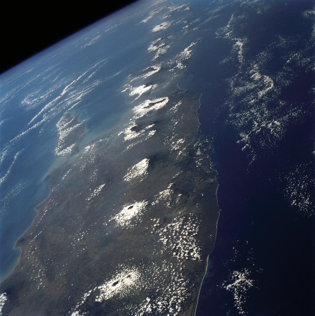
Volcanoes, Central Java, Indonesia
1992-08-08 · NASA Image and Video Library
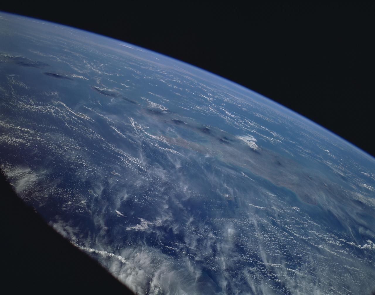
Indonesia as seen from STS-66 shuttle Atlantis
1994-11-14 · NASA Image and Video Library
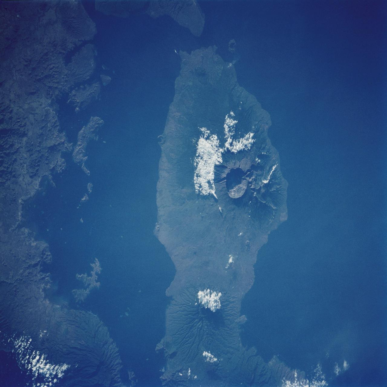
Tambora Caldera, Sumbawa Island, Indonesia
1988-10-03 · NASA Image and Video Library
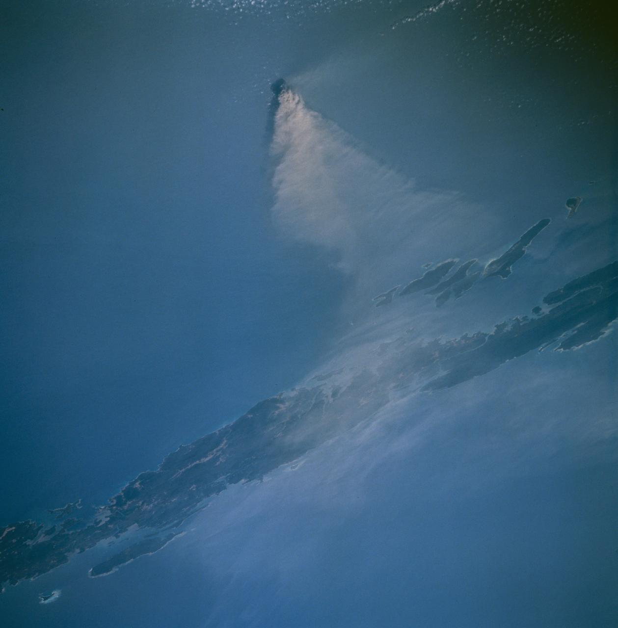
Barren Island west of Malaysia as seen from STS-67 Endeavour
1995-03-14 · NASA Image and Video Library
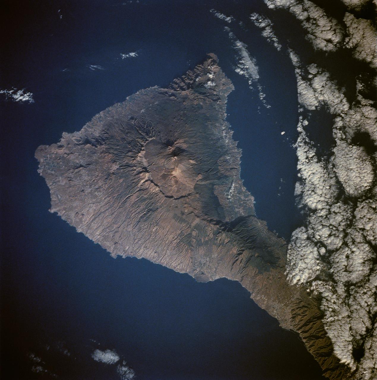
Tenarife Island, Canary Island Archipelago, Atlantic Ocean
1991-08-11 · NASA Image and Video Library
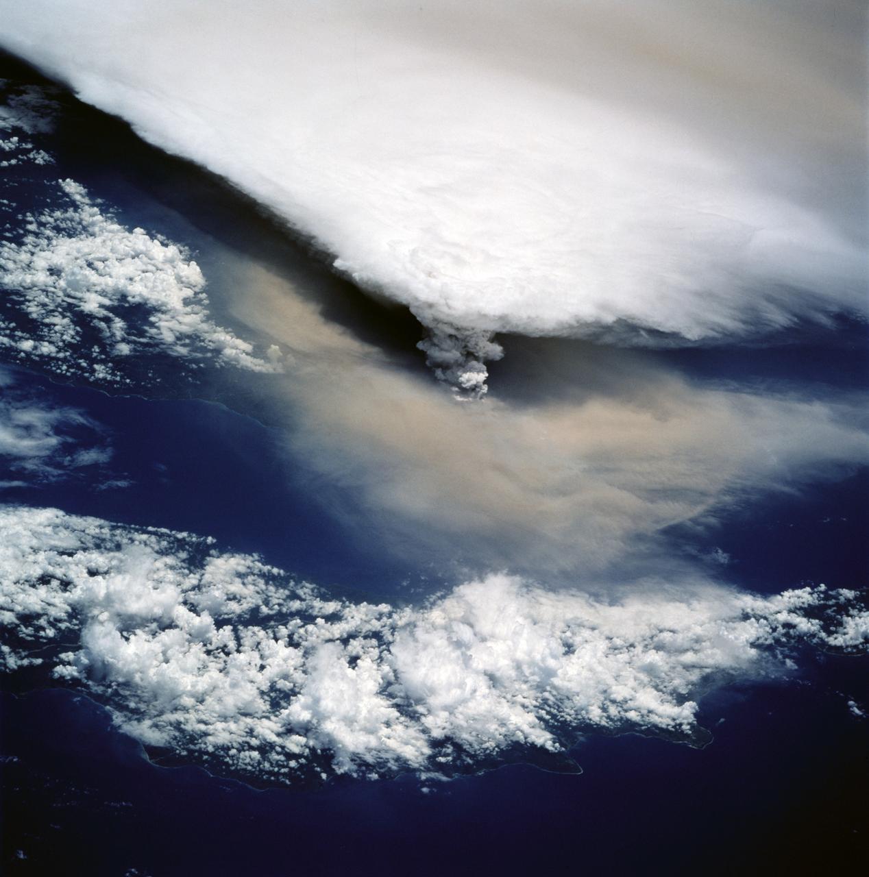
View of New Guinea Volcano as seen from STS-64
1994-09-20 · NASA Image and Video Library
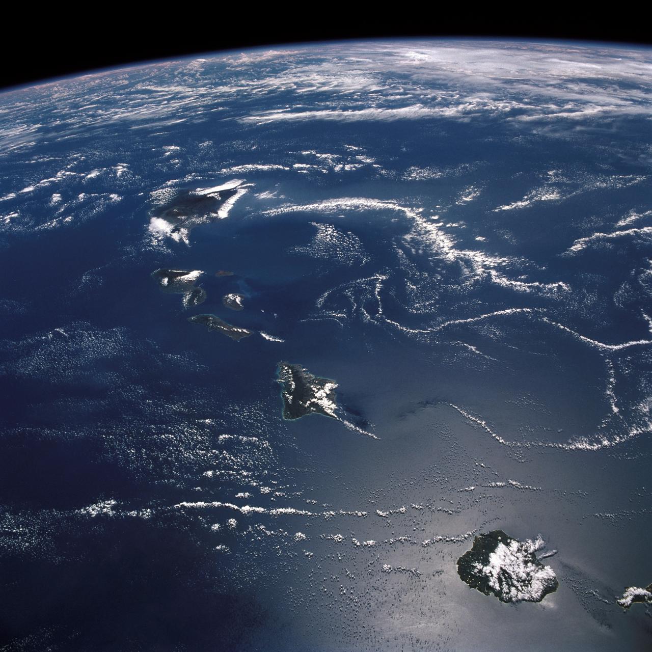
Hawaiian Island Archipelago
1988-10-03 · NASA Image and Video Library
Isabela, Galapagos Islands as seen from STS-59
1994-04-14 · NASA Image and Video Library