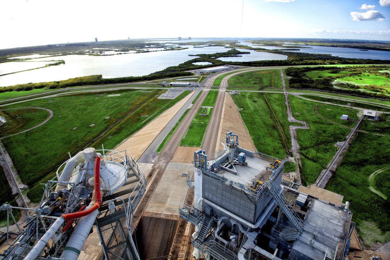
KSC-2013-3237
CAPE CANAVERAL, Fla. – As seen on Google Maps, the view from the top of the Fixed Service Structure at Launch Complex 39A at NASA's Kennedy Space Center. The FSS, as the structure is known, is 285 feet high and overlooks the Rotating Service Structure that was rolled into place when a space shuttle was at the pad. The path taken by NASA's massive crawler-transporters that carried the shuttle stack 3 miles from Vehicle Assembly Building are also visible leading up to the launch pad. In the distance are seen the launch pads and support structures at Cape Canaveral Air Force Station for the Atlas V, Delta IV and Falcon 9 rockets. Google precisely mapped the space center and some of its historical facilities for the company's map page. The work allows Internet users to see inside buildings at Kennedy as they were used during the space shuttle era. Photo credit: Google/Wendy Wang
- Date
- 2013-08-09
- Collection
- KSC
- Archive
- NASA Image and Video Library
- Type
- photograph
Public domainsafest
Reason: a NASA work: not copyrighted in the United States.
Read from: NASA media usage guidelines: NASA material is not copyrighted in the US unless noted; no third-party credit or mark found.
Credit line
"KSC-2013-3237" (2013-08-09). NASA/KSC. Public domain. https://images.nasa.gov/details/KSC-2013-3237Need photos for a whole script? Add Find Any Photo to Claude and ask for this one by its id: 87194.
More like this
KSC-2013-3236
2013-08-09 · NASA Image and Video Library
Latest Overall Look of Pad 39A
2014-03-11 · NASA Image and Video Library
Latest Overall Look of Pad 39A
2014-03-11 · NASA Image and Video Library
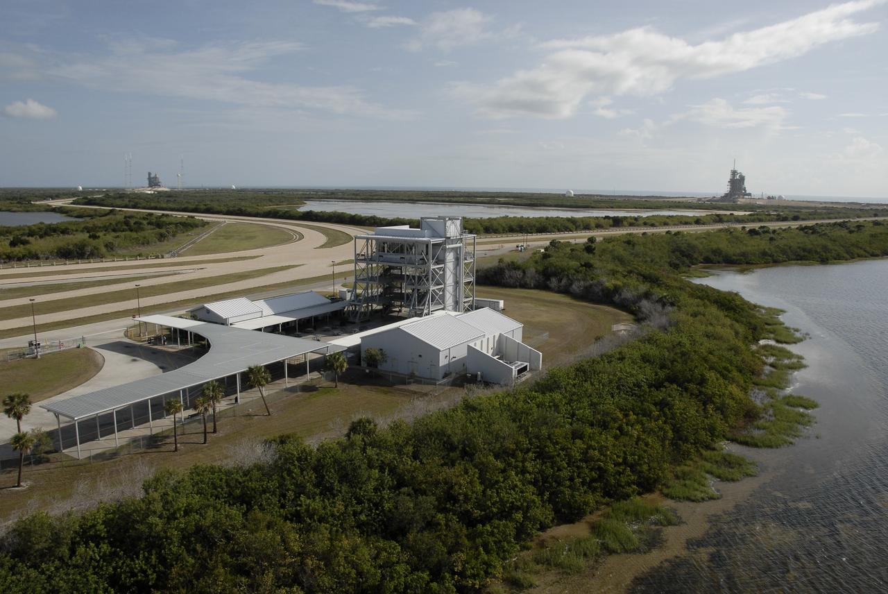
KSC-2009-3196
2009-05-15 · NASA Image and Video Library
KSC-2010-4396
2010-08-17 · NASA Image and Video Library
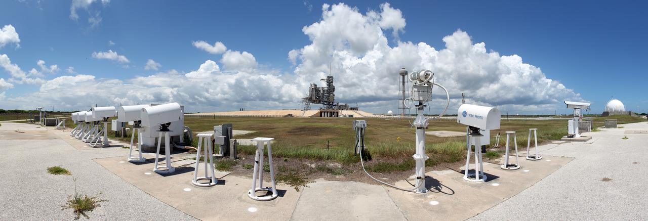
KSC-2010-4302
2010-08-05 · NASA Image and Video Library

KSC-08pd2685
2008-09-19 · NASA Image and Video Library
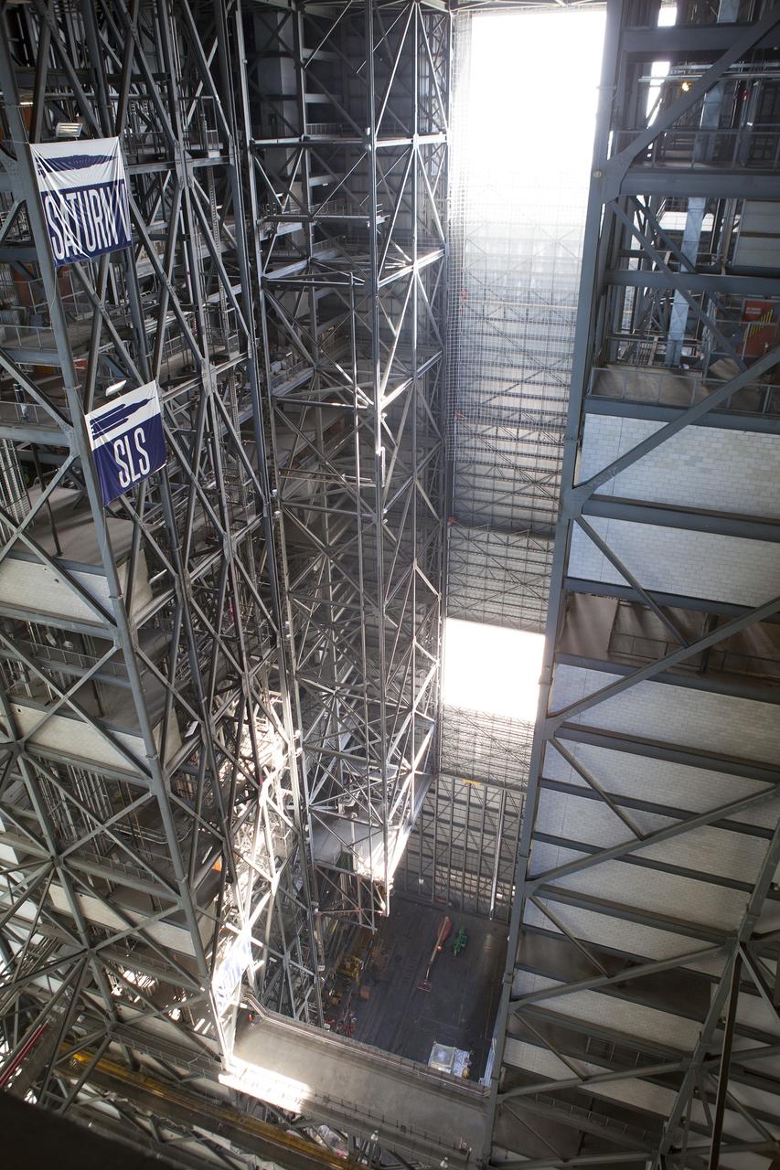
KSC-2014-3262
2014-07-23 · NASA Image and Video Library