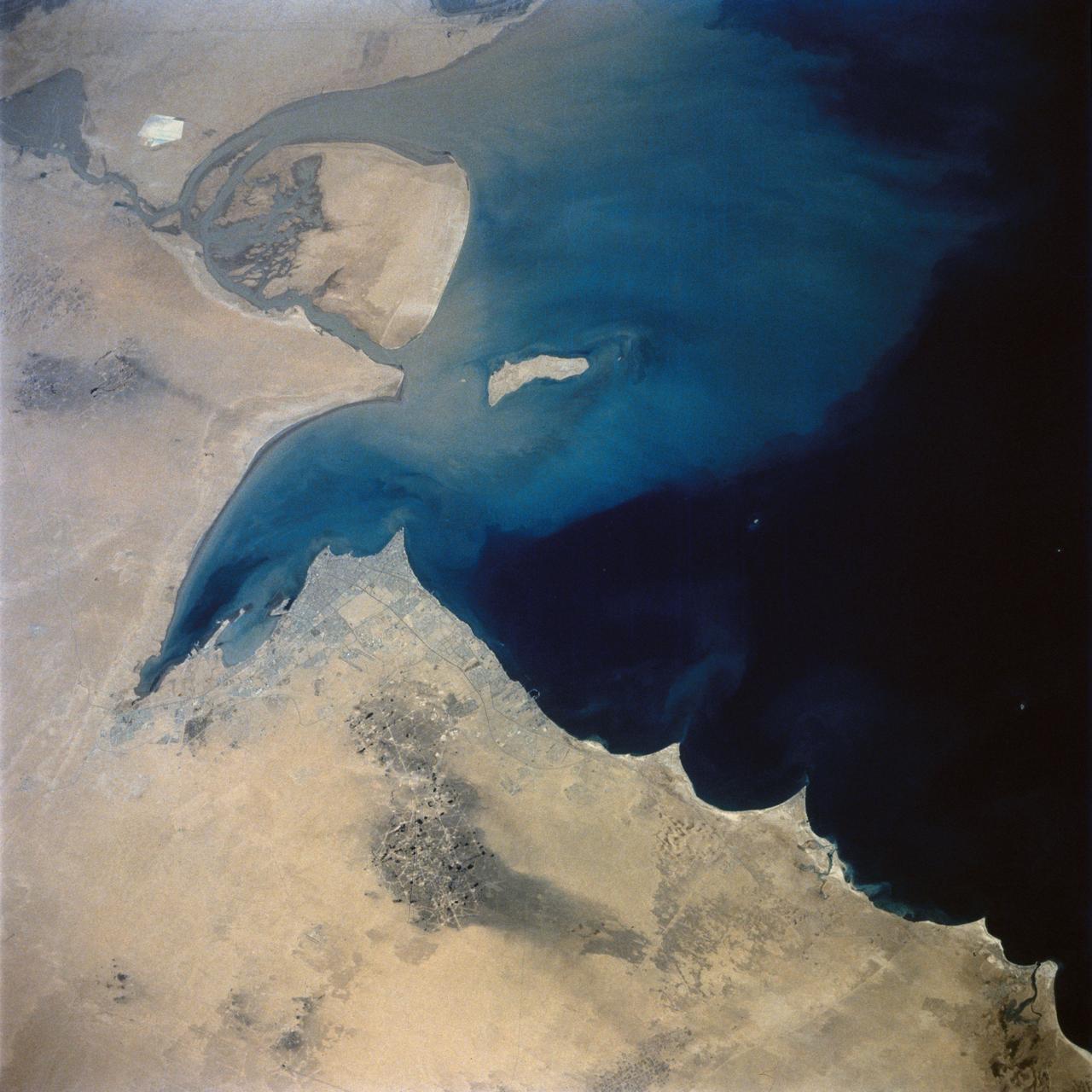
Kuwait City and Fire Scars in the Oil Fields
This view of the northern Persian Gulf shows Kuwait City and the Tigris and Euphrates River Deltas (29.5N, 48.5E). The oil laden sands and oil lakes of the Kuwait Oil Fields to the north and south of the city are clearly visible as dark patches surrounded by oil free desert sands. Comparison with earlier photos indicate that the oil laden sands are slowly being covered with clean sand carried by strong NW winds called Shmals.
- Date
- 1992-08-08
- Collection
- JSC
- Archive
- NASA Image and Video Library
- Type
- photograph
Public domainsafest
Reason: a NASA work: not copyrighted in the United States.
Read from: NASA media usage guidelines: NASA material is not copyrighted in the US unless noted; no third-party credit or mark found.
Credit line
"Kuwait City and Fire Scars in the Oil Fields" (1992-08-08). NASA/JSC. Public domain. https://images.nasa.gov/details/sts046-74-094Need photos for a whole script? Add Find Any Photo to Claude and ask for this one by its id: 15387.
More like this
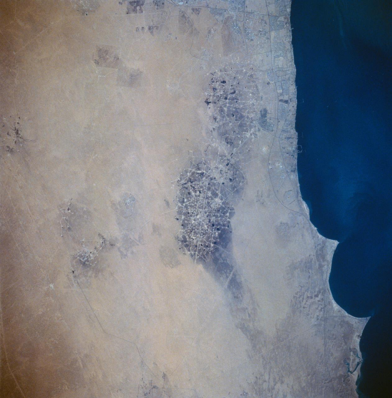
Kuwait Oil Fields as seen from STS-58
1993-10-20 · NASA Image and Video Library
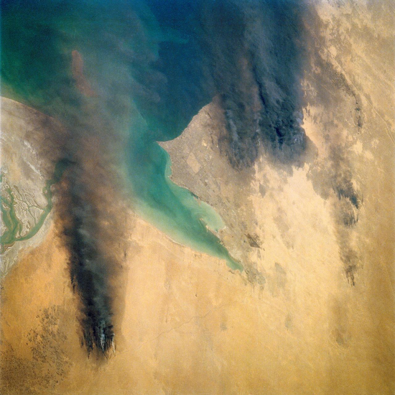
Kuwait Oil Fires, Kuwait
1991-05-06 · NASA Image and Video Library
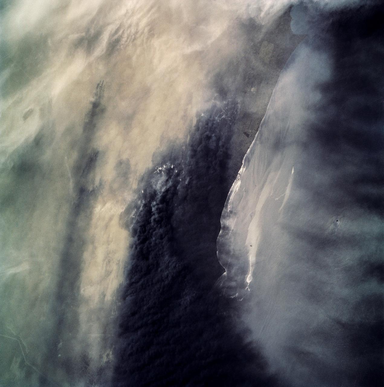
Oil Fires and Oil Slick, Kuwait
1991-05-06 · NASA Image and Video Library
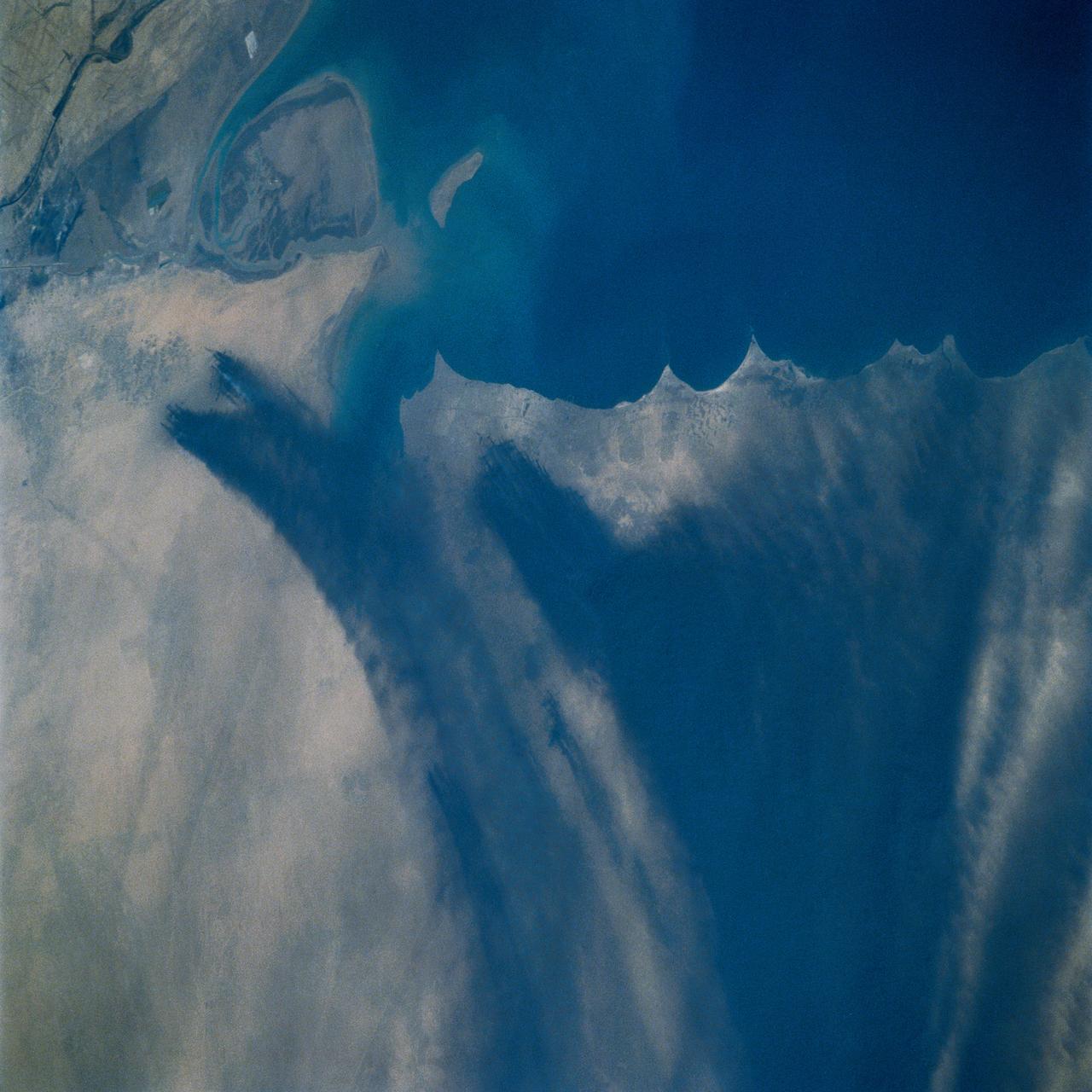
Kuwait Oil Fires, Kuwait
1991-04-11 · NASA Image and Video Library
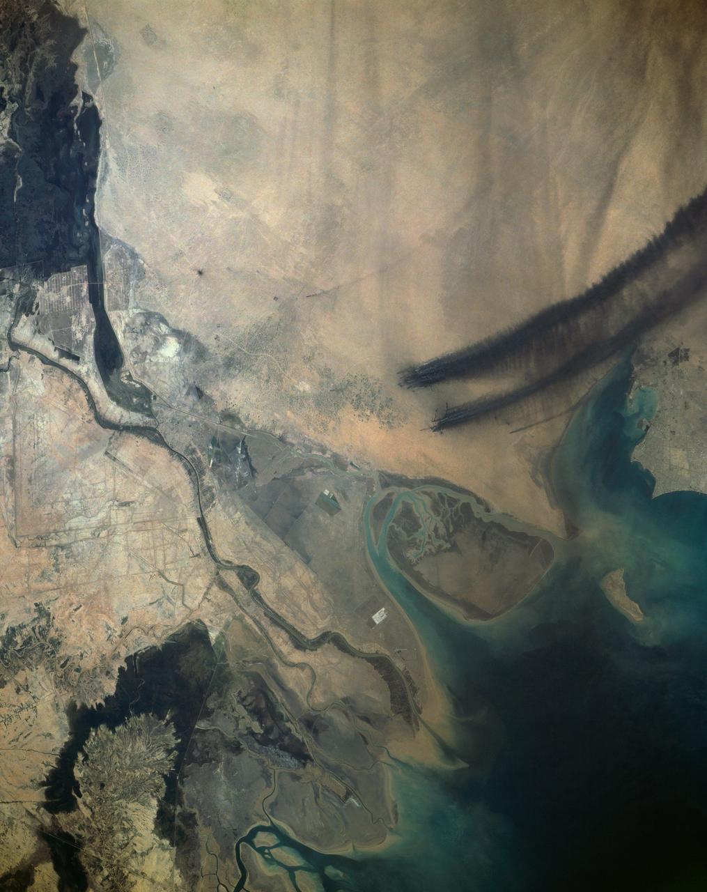
Kuwait Oil Fires, Kuwait
1991-04-11 · NASA Image and Video Library
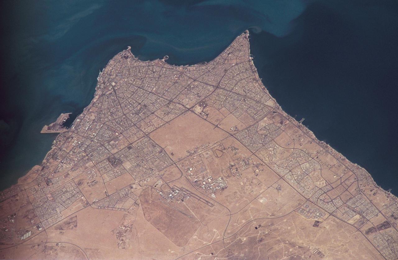
Earth observations taken by the STS-59 crew
1994-04-14 · NASA Image and Video Library

Earth observations taken from Space Shuttle Columbia during STS-80 mission
1996-11-30 · NASA Image and Video Library
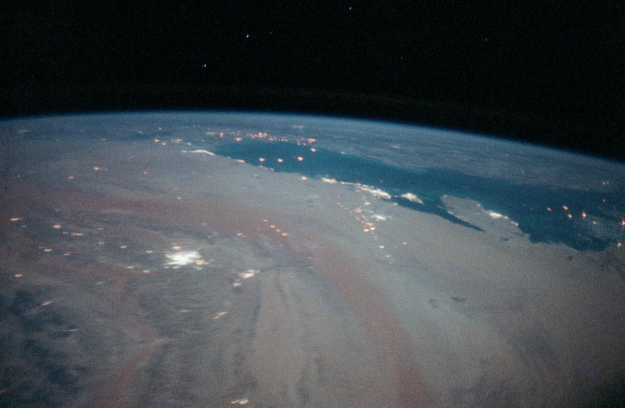
STS-35 Earth observation of the Persian Gulf area
1990-12-10 · NASA Image and Video Library