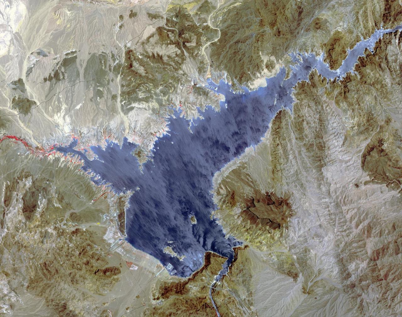
Lake Mead and Drought
Lake Mead supplies water for Arizona, California, Mexico, and other western states. On June 23, the water level fell to 1075 feet, a record low. In 2000, for comparison, the water level was at 1214 feet. A 15-year drought and increased demands for water are to blame for the critical status of the water supply. The difference in 15 years is seen in this pair of images of the western part of Lake Mead, acquired June 21, 2000 by Landsat 7, and June 21, 2015 by ASTER. The images cover an area of 22.5 x 28.5 km, and are located at 36.1 degrees north, 114.7 degrees west. http://photojournal.jpl.nasa.gov/catalog/PIA19731
- Date
- 2015-07-20
- Photographer / author
- NASA/GSFC/METI/ERSDAC/JAROS, and U.S./Japan ASTER Science Team
- Collection
- JPL
- Archive
- NASA Image and Video Library
- Type
- photograph
Public domainsafest
Reason: a NASA work: not copyrighted in the United States.
Read from: NASA media usage guidelines: NASA material is not copyrighted in the US unless noted; no third-party credit or mark found.
Credit line
"Lake Mead and Drought" (2015-07-20). NASA/JPL/NASA/GSFC/METI/ERSDAC/JAROS, and U.S./Japan ASTER Science Team. Public domain. https://images.nasa.gov/details/PIA19731Need photos for a whole script? Add Find Any Photo to Claude and ask for this one by its id: 90884.
More like this
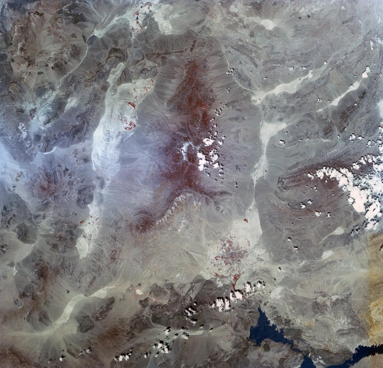
Lake Mead, NV
1973-06-22 · NASA Image and Video Library

Lake Mead National Recreation Area, created by the building of Boulder (later Hoover) Dam, Nevada Physical description:; 4 x 5 in. or smaller. Notes: Title, date, and keywords provided by the photographer.; Digital image produced by Carol M. Highsmith to represent her origina
1980–2006 · Library of Congress
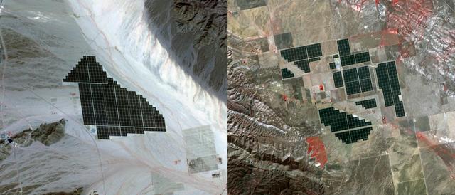
California Solar Farms
2015-04-02 · NASA Image and Video Library

Aerial views of Lake Mead National Recreation Area, formed when Hoover Dam backed up the Colorado River. Boulder City, Nevada Physical description:; 4 x 5 in. or smaller Notes: Title, date, and keywords provided by the photographer.; Digital image produced by Carol M. Highsmi
1980–2006 · Library of Congress

Lake Powell in between Utah and Arizona
2023-04-16 · NASA Image and Video Library

Lake Mead, Nevada Physical description:; 4 x 5 in. or smaller. Notes: Title, date, and keywords provided by the photographer.; Digital image produced by Carol M. Highsmith to represent her original film transparency; some details may differ between the film and the digital im
1980–2006 · Library of Congress
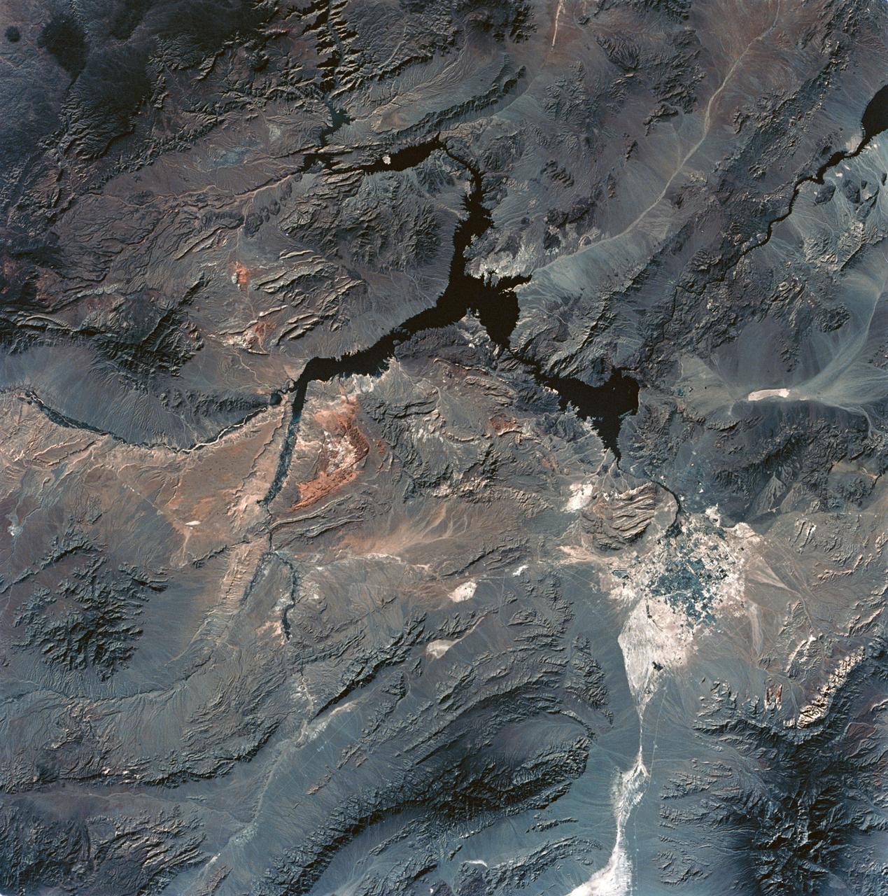
View of Lake Mead and Las Vegas, Nevada area from Sklyab
1973-08-01 · NASA Image and Video Library

Aerial view, Lake Mead near Las Vegas, Nevada and the Grand Canyon Physical description:. Notes: Gift and purchase; Carol M. Highsmith; 2009; (DLC/PP-2010:031).; Credit line: Carol M. Highsmith's America,.
2009 · Library of Congress