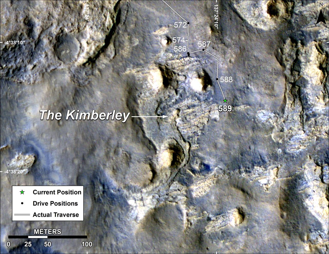
Map of Curiosity Mars Rover Drives to the Kimberley Waypoint
This map shows the route driven by NASA Curiosity Mars in its approach to and April 1, 2014, arrival at a waypoint called the Kimberley, which rover team scientists chose in 2013 as the location for the mission next major investigations.
- Date
- 2014-04-03
- Photographer / author
- NASA/JPL-Caltech/Univ. of Arizona
- Collection
- JPL
- Archive
- NASA Image and Video Library
- Type
- photograph
Public domainsafest
Reason: a NASA work: not copyrighted in the United States.
Read from: NASA media usage guidelines: NASA material is not copyrighted in the US unless noted; no third-party credit or mark found.
Credit line
"Map of Curiosity Mars Rover Drives to the Kimberley Waypoint" (2014-04-03). NASA/JPL/NASA/JPL-Caltech/Univ. of Arizona. Public domain. https://images.nasa.gov/details/PIA18075Need photos for a whole script? Add Find Any Photo to Claude and ask for this one by its id: 23143.
More like this
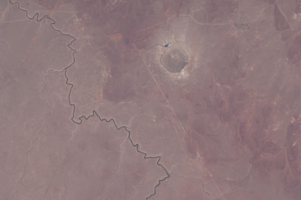
Earth Observation
2014-06-25 · NASA Image and Video Library

Earth observations taken by Expedition 38 crewmember
2013-12-14 · NASA Image and Video Library
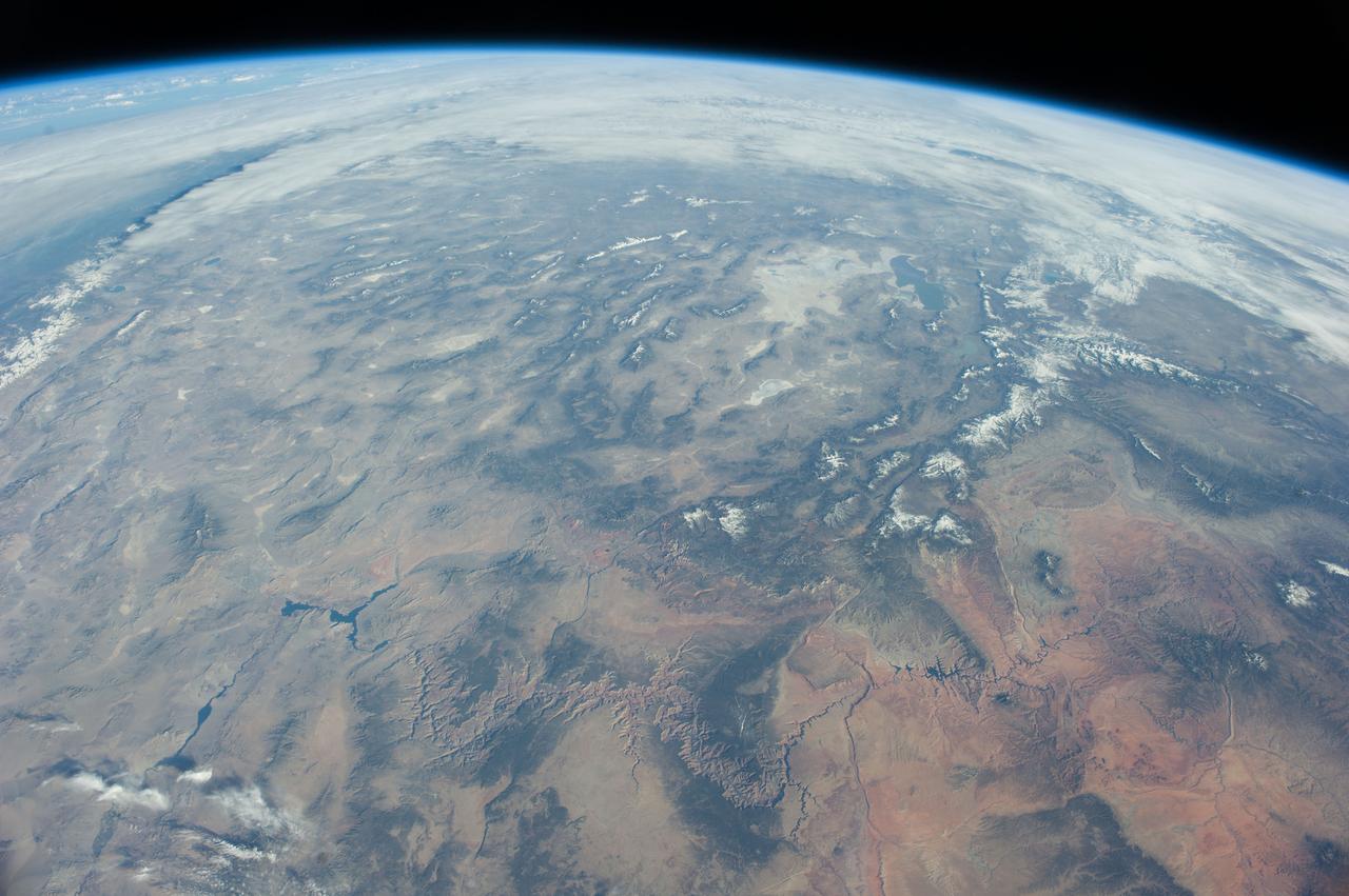
Earth Observations taken by the Expedition 39 Crew
2014-03-25 · NASA Image and Video Library

Earth observations taken by Expedition 38 crewmember
2013-11-26 · NASA Image and Video Library
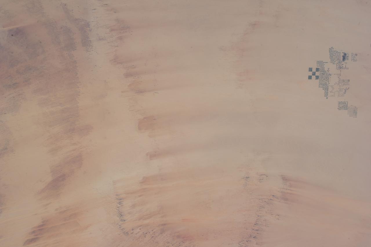
Earth Observation
2013-09-08 · NASA Image and Video Library
Earth Observations taken by the Expedition 35 Crew
2013-04-04 · NASA Image and Video Library

Earth Observations taken by the Expedition 39 Crew
2014-03-11 · NASA Image and Video Library

Earth Observations taken by Expedition 34 crewmember
2013-02-11 · NASA Image and Video Library