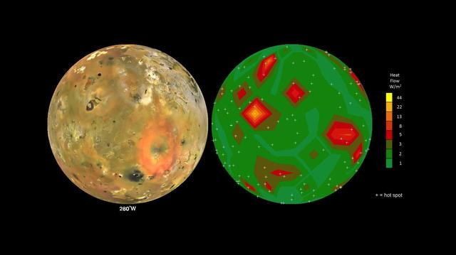
Map of Io Volcanic Heat Flow
This frame from an animation shows Jupiter volcanic moon Io as seen by NASA Voyager and Galileo spacecraft (at left) and the pattern of heat flow from 242 active volcanoes (at right). The red and yellow areas are places where local heat flow is greatest -- the result of magma erupting from Io's molten interior onto the surface. The map is the result of analyzing decades of observations from spacecraft and ground-based telescopes. It shows Io's usual volcanic thermal emission, excluding the occasional massive but transient "outburst" eruption; in other words, this is what Io looks like most of the time. This heat flow map will be used to test models of interior heating. The map shows that areas of enhanced volcanic heat flow are not necessarily correlated with the number of volcanoes in a particular region and are poorly correlated with expected patterns of heat flow from current models of tidal heating -- something that is yet to be explained. This research is published in association with a 2015 paper in the journal Icarus by A. Davies et al., titled "Map of Io's Volcanic Heat Flow," (http://dx.doi.org/10.1016/j.icarus.2015.08.003.) http://photojournal.jpl.nasa.gov/catalog/PIA1965
- Date
- 2015-09-15
- Photographer / author
- NASA/JPL-Caltech/Bear Fight Institute
- Collection
- JPL
- Archive
- NASA Image and Video Library
- Type
- illustration (NASA artwork)
Public domainsafest
Reason: a NASA work: not copyrighted in the United States.
Read from: NASA media usage guidelines: NASA material is not copyrighted in the US unless noted; no third-party credit or mark found.
Credit line
"Map of Io Volcanic Heat Flow" (2015-09-15). NASA/JPL/NASA/JPL-Caltech/Bear Fight Institute. Public domain. https://images.nasa.gov/details/PIA19655Need photos for a whole script? Add Find Any Photo to Claude and ask for this one by its id: 22286.
More like this
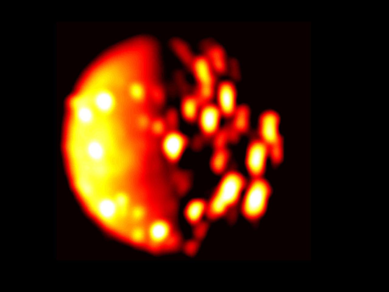
Jupiter Moon Io in Infrared
2018-07-13 · NASA Image and Video Library
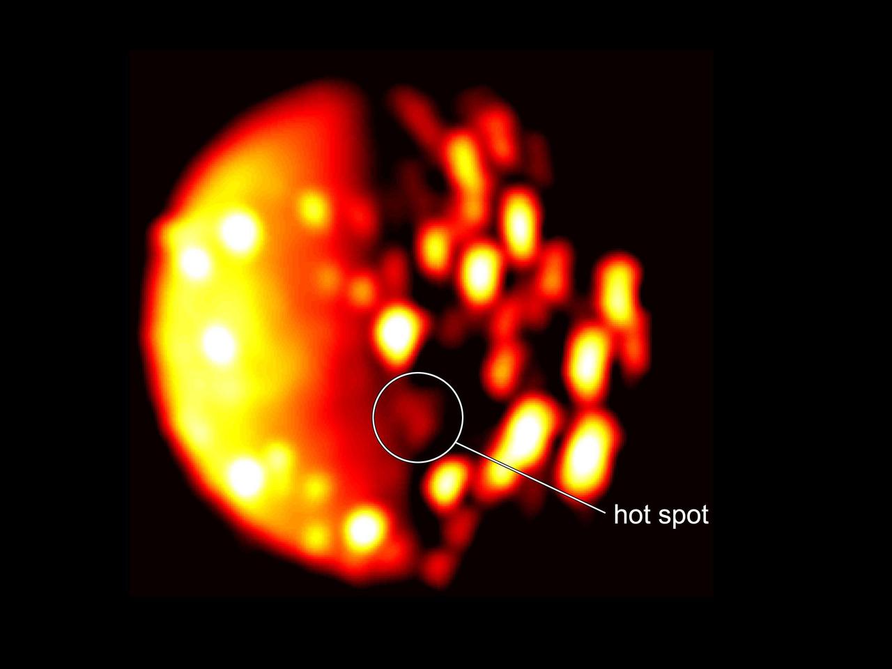
Io's New Southern Hemisphere Hotspot
2018-07-13 · NASA Image and Video Library
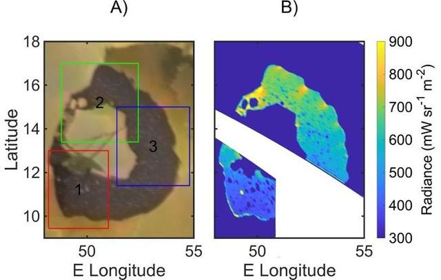
The Islands of Loki as Viewed by Voyager 1 and Juno's JIRAM
2024-12-12 · NASA Image and Video Library
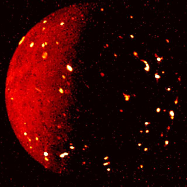
Jupiter's Moon Io Seen in Infrared Light
2022-12-14 · NASA Image and Video Library
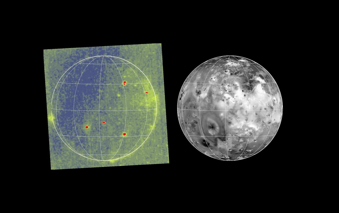
Io Glowing in the Dark
1997-09-07 · NASA Image and Video Library

Io Eclipse/Volcanic Eruption
1998-03-26 · NASA Image and Video Library

Heating Up Jupiter's Atmosphere
2019-04-08 · NASA Image and Video Library
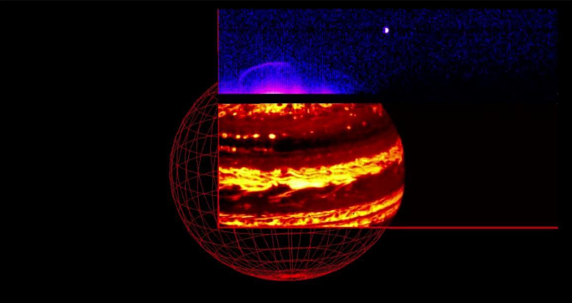
Juno Captures Jupiter Glow in Infrared Light
2016-09-02 · NASA Image and Video Library