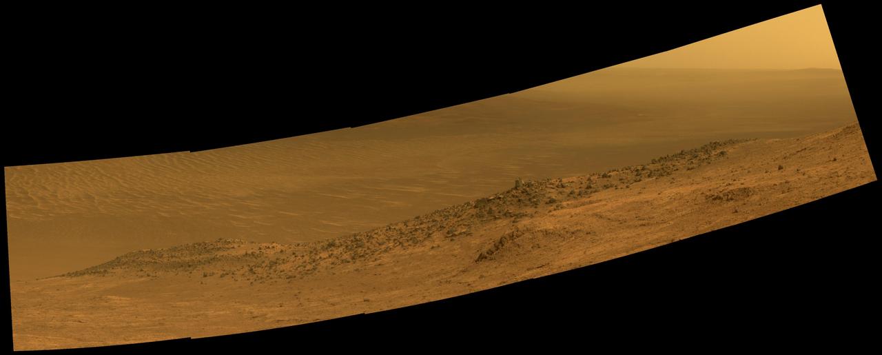
Mars Rover Opportunity Panorama of Wharton Ridge
This scene from NASA's Mars Exploration Rover Opportunity shows "Wharton Ridge," which forms part of the southern wall of "Marathon Valley" on the western rim of Endeavour Crater. The full extent of Wharton Ridge is visible, with the floor of Endeavour Crater beyond it and the far wall of the crater in the distant background. Near the right edge of the scene is "Lewis and Clark Gap," through which Opportunity crossed from Marathon Valley to "Bitterroot Valley" in September 2016. Before the rover departed Marathon Valley, its panoramic camera (Pancam) acquired the component images for this scene on Aug. 30, 2016, during the 4,480th Martian day, or sol, of Opportunity's work on Mars. Opportunity's science team chose the ridge's name to honor the memory of Robert A. Wharton (1951-2012), an astrobiologist who was a pioneer in the use of terrestrial analog environments, particularly in Antarctica, to study scientific problems connected to the habitability of Mars. Over the course of his career, he was a visiting senior scientist at NASA Headquarters, vice president for research at the Desert Research Institute, provost at Idaho State University, and president of the South Dakota School
- Date
- 2016-10-07
- Photographer / author
- NASA/JPL-Caltech/Cornell/Arizona State Univ.
- Collection
- JPL
- Archive
- NASA Image and Video Library
- Type
- photograph
Public domainsafest
Reason: a NASA work: not copyrighted in the United States.
Read from: NASA media usage guidelines: NASA material is not copyrighted in the US unless noted; no third-party credit or mark found.
Credit line
"Mars Rover Opportunity Panorama of Wharton Ridge" (2016-10-07). NASA/JPL/NASA/JPL-Caltech/Cornell/Arizona State Univ.. Public domain. https://images.nasa.gov/details/PIA20849Need photos for a whole script? Add Find Any Photo to Claude and ask for this one by its id: 22595.
More like this
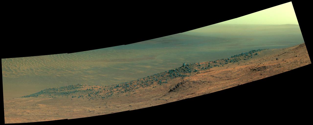
Mars Rover Opportunity Panorama of Wharton Ridge Enhanced Color
2016-10-07 · NASA Image and Video Library
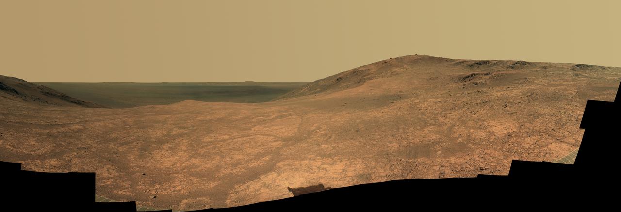
Mars Rover Opportunity Panorama of Marathon Valley
2016-06-14 · NASA Image and Video Library
Endeavour Crater Rim From Murray Ridge on Mars
2014-05-19 · NASA Image and Video Library
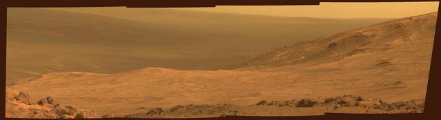
Mars Marathon Valley Overlook
2015-03-23 · NASA Image and Video Library

Mars Rover Opportunity Panorama of Rocheport.
2017-04-19 · NASA Image and Video Library
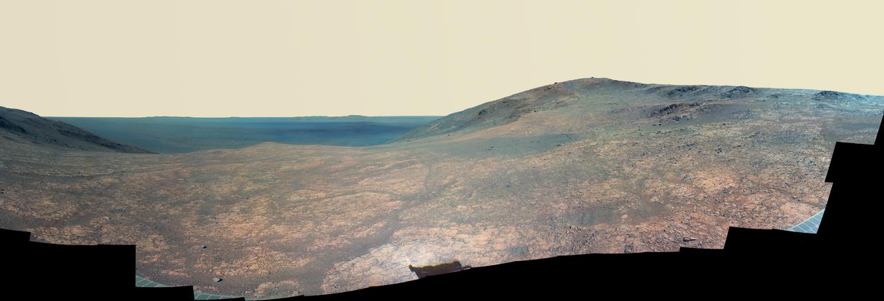
Mars Rover Opportunity Panorama of Marathon Valley (Enhanced Color)
2016-06-14 · NASA Image and Video Library
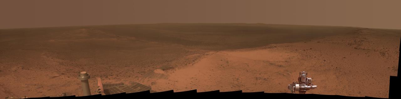
High Viewpoint for 11-Year-Old Rover Mission on Mars
2015-01-22 · NASA Image and Video Library

Opportunity Northward View of Wdowiak Ridge
2014-10-16 · NASA Image and Video Library