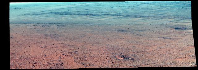
Martian Rocks Lining Possible Ancient Channel (Enhanced Color)
NASA's Mars Exploration Rover Opportunity took the component images of this enhanced-color scene during the mission's "walkabout" survey of an area just above the top of "Perseverance Valley," in preparation for driving down the valley. The location is just outside the crest line of the western rim of Endeavour Crater, looking toward the northwest. The rim crest at the top of Perseverance Valley is off the scene to the right. A swath across the top half of the image is lined with dark rocks, especially on the far side. The swath runs east-west, and one possible history under investigation is that it was a channel into a lake perched against the edge of the crater billions of years ago. Another hypothesis is that the linear pattern of the rock piles is related to radial fractures from the impact that excavated Endeavour Crater. One goal of the walkabout is to determine whether a close look at the rocks will provide clues to the history of the site. For scale, the width of the swath near the center of the image is roughly 30 feet (9 meters). Opportunity's panoramic camera (Pancam) recorded this scene on June 3, 2017, during the 4,749th Martian day, or sol, of the rover's work on Mars
- Date
- 2017-06-23
- Photographer / author
- NASA/JPL-Caltech/Cornell/Arizona State Univ.
- Collection
- JPL
- Archive
- NASA Image and Video Library
- Type
- photograph
Public domainsafest
Reason: a NASA work: not copyrighted in the United States.
Read from: NASA media usage guidelines: NASA material is not copyrighted in the US unless noted; no third-party credit or mark found.
Credit line
"Martian Rocks Lining Possible Ancient Channel (Enhanced Color)" (2017-06-23). NASA/JPL/NASA/JPL-Caltech/Cornell/Arizona State Univ.. Public domain. https://images.nasa.gov/details/PIA21711Need photos for a whole script? Add Find Any Photo to Claude and ask for this one by its id: 23300.
More like this

View From Within 'Perseverance Valley' on Mars (Enhanced Color)
2017-12-06 · NASA Image and Video Library
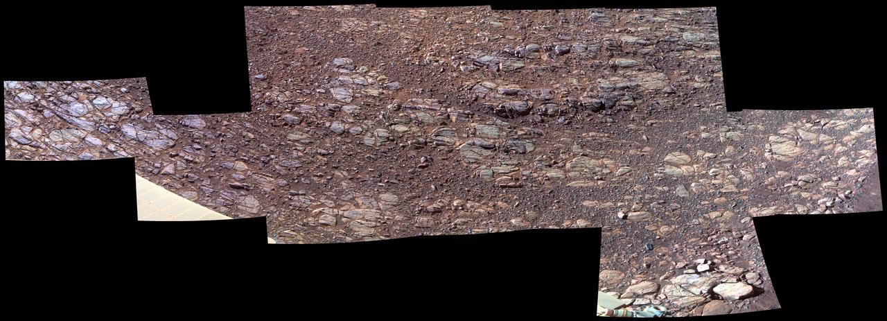
Wind's Marks in "Perseverance Valley" (Enhanced Color)
2017-12-06 · NASA Image and Video Library

Putting Martian 'Tribulation' Behind Enhanced Color
2017-05-15 · NASA Image and Video Library
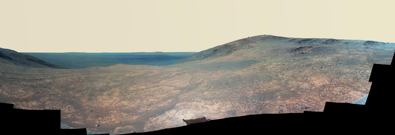
Mars Rover Opportunity Panorama of Marathon Valley (Enhanced Color)
2016-06-14 · NASA Image and Video Library
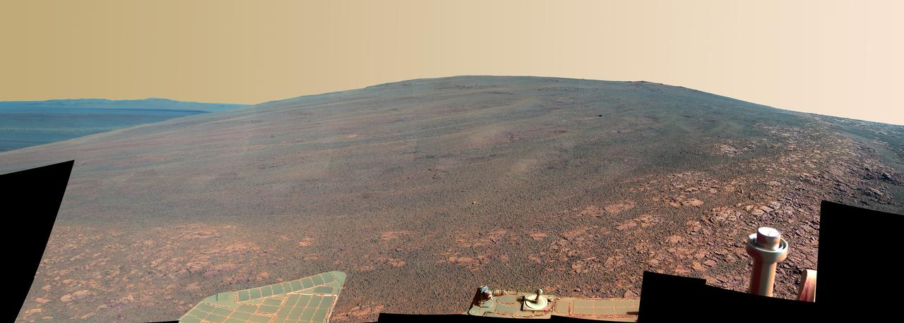
Murray Ridge on Rim of Endeavour Crater on Mars, False Color
2013-11-13 · NASA Image and Video Library
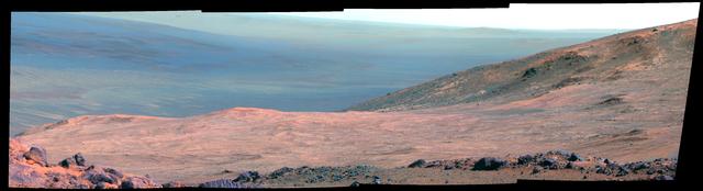
Mars Marathon Valley Overlook (False Color)
2015-03-23 · NASA Image and Video Library
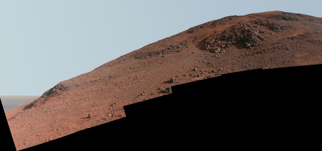
Steep Knudsen Ridge Along Marathon Valley on Mars Enhanced Color
2016-02-25 · NASA Image and Video Library

Outcrop on Murray Ridge Section of Martian Crater Rim False Color
2014-01-03 · NASA Image and Video Library