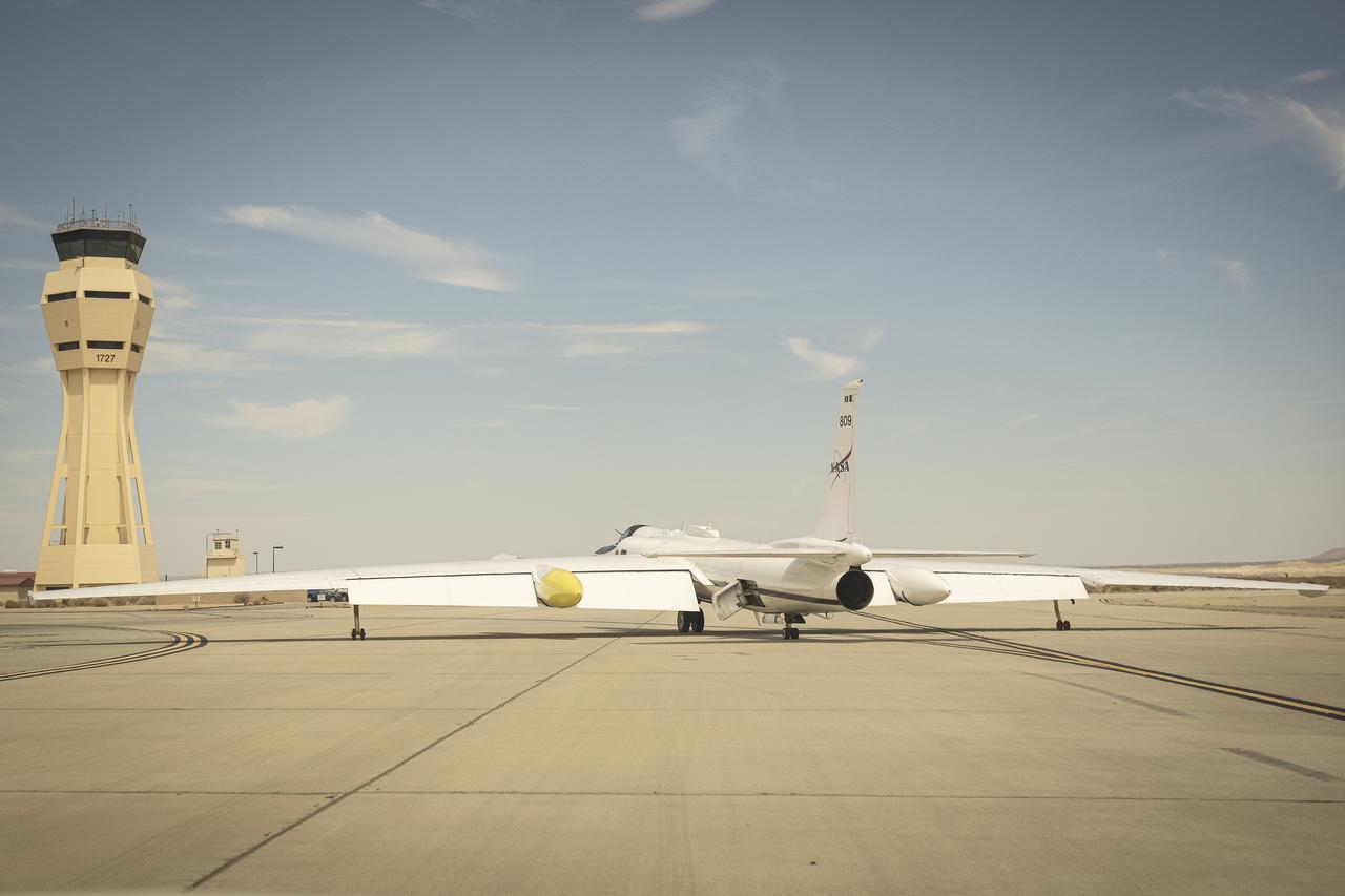
NASA ER-2 Flies Geological Mapping Mission
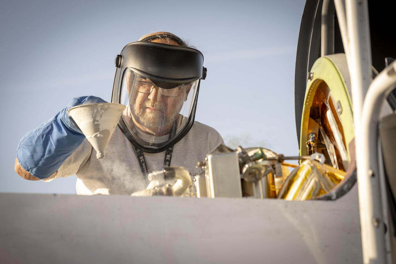
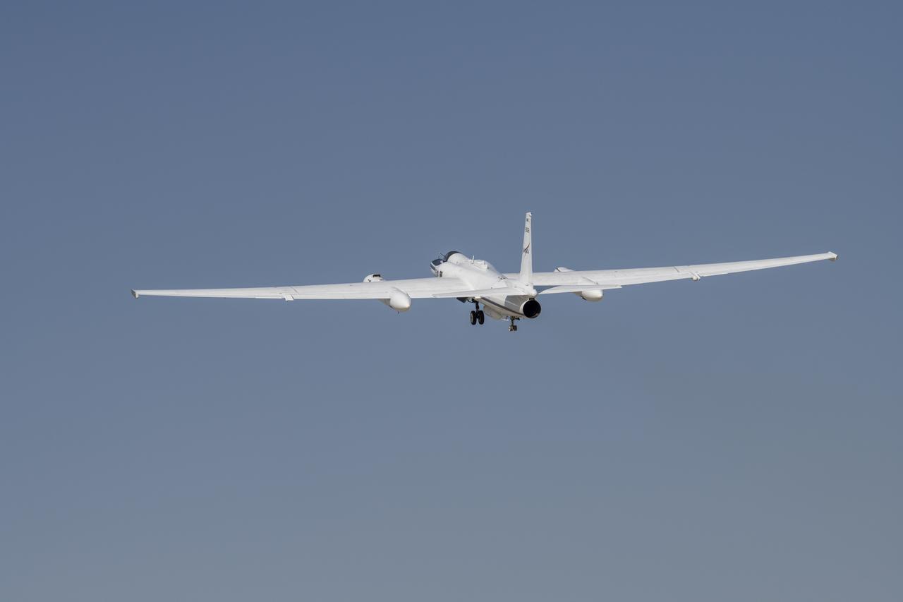
NASA Armstrong Flight Research Center’s ER-2 aircraft taxis at Edwards, California, on Thursday, Aug. 21, 2025, ahead of a high-altitude mission supporting the Geological Earth Mapping Experiment (GEMx), which requires flights of up to eight hours at approximately 65,000 feet altitude.
- Date
- 2025-08-21
- Photographer / author
- NASA/Christopher LC Clark
- Collection
- AFRC
- Archive
- NASA Image and Video Library
- Type
- photograph
Public domainsafest
Reason: a NASA work: not copyrighted in the United States.
Read from: NASA media usage guidelines: NASA material is not copyrighted in the US unless noted; no third-party credit or mark found.
Credit line
"NASA ER-2 Flies Geological Mapping Mission" (2025-08-21). NASA/AFRC/NASA/Christopher LC Clark. Public domain. https://images.nasa.gov/details/AFRC2025-0071-386Need photos for a whole script? Add Find Any Photo to Claude and ask for this one by its id: 25581.
More like this
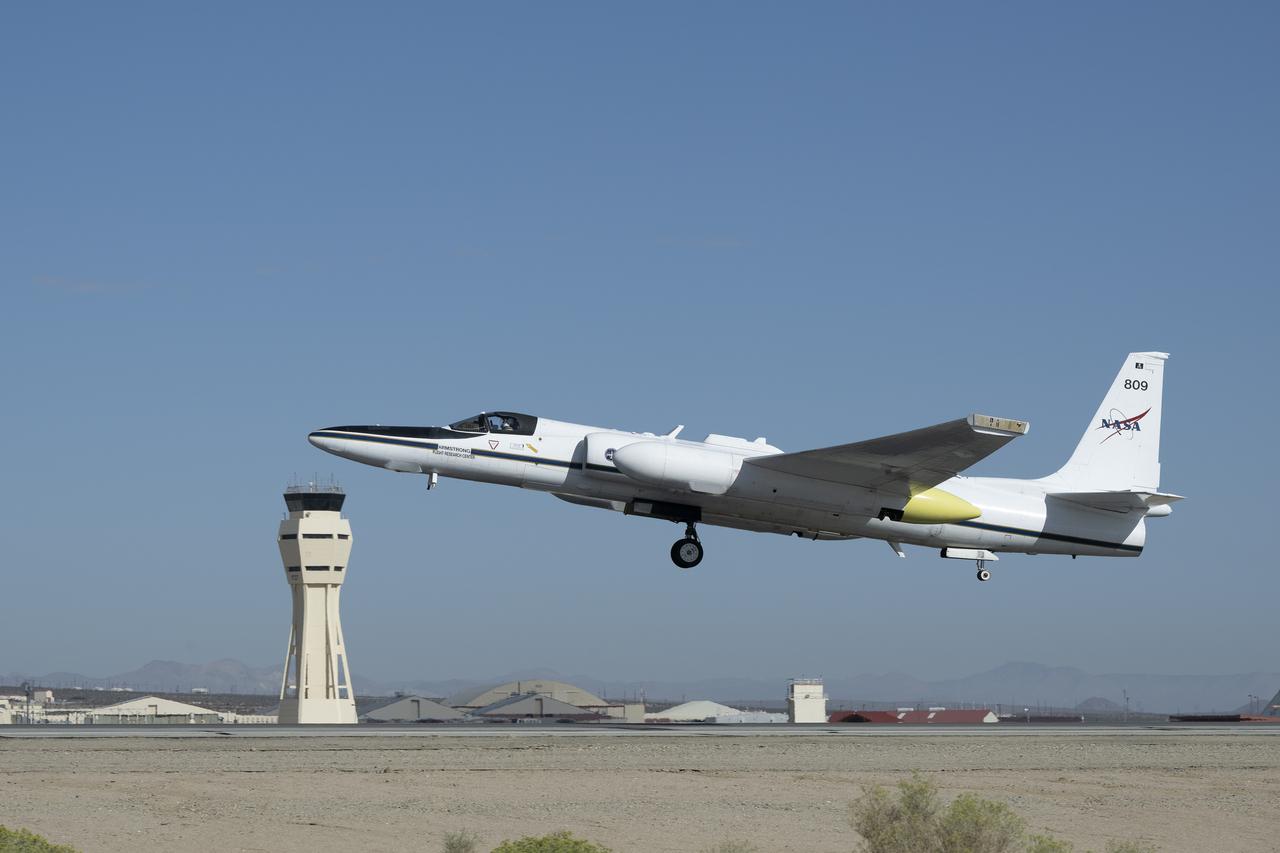
NASA ER-2 Flies Geological Mapping Mission
2025-09-23 · NASA Image and Video Library
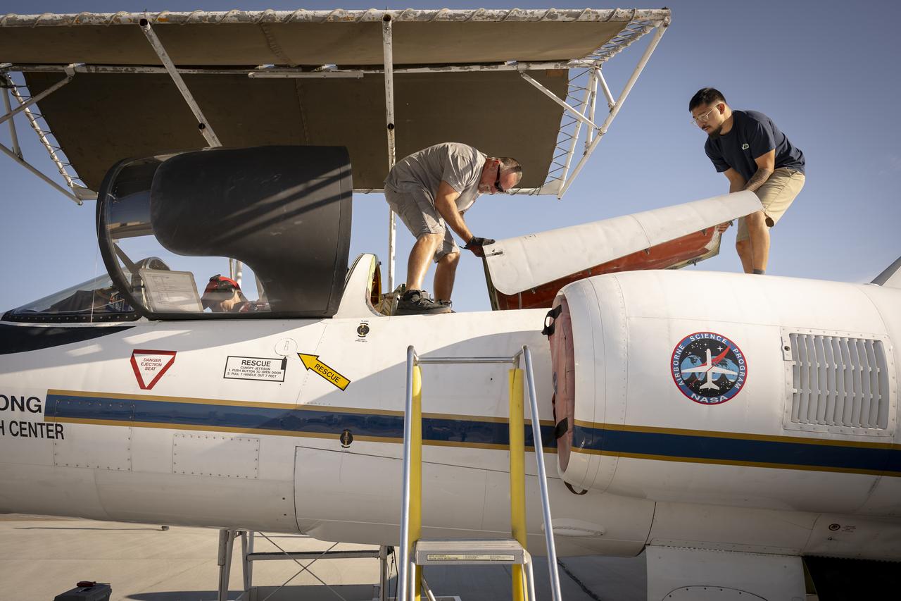
NASA ER-2 Flies Geological Mapping Mission
2025-08-21 · NASA Image and Video Library

NASA ER-2 Prepares for Geological Earth Mapping Experiment Flights
2025-04-09 · NASA Image and Video Library
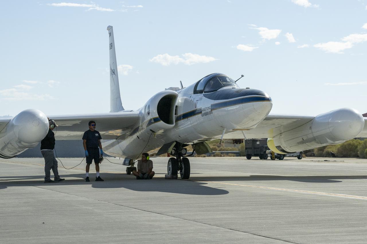
NASA ER-2 Flies Geological Mapping Mission
2025-09-23 · NASA Image and Video Library

NASA ER-2 Prepares for Geological Earth Mapping Experiment Flights
2026-03-31 · NASA Image and Video Library

NASA Armstrong ER-2
2026-03-31 · NASA Image and Video Library
NASA ER-2 Flies Geological Mapping Mission
2025-08-21 · NASA Image and Video Library
NASA Launches DCOTSS Science Flights
2021-06-17 · NASA Image and Video Library