
NASA ER-2 Prepares for Geological Earth Mapping Experiment Flights
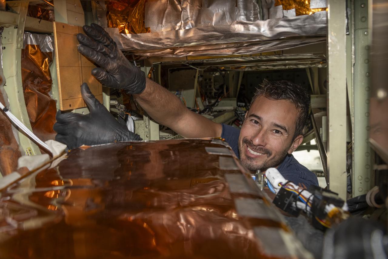
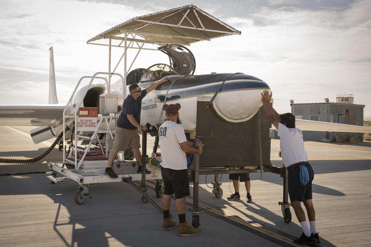
Crew chief Darin Whittington and mechanic Edwin Flores watch as mechanic Francisco Rodriguez works on a mounting bolt to secure the Airborne Visible/Infrared Imaging Spectrometer (AVIRIS) instrument into a NASA ER-2 high-altitude aircraft at NASA’s Armstrong Flight Research Center in Edwards, California, on Wednesday, March 11, 2026. The installation helped enabled the Geological Earth Mapping Experiment (GEMx) airborne science mission, which began on March 31, 2026.
- Date
- 2026-03-10
- Photographer / author
- NASA/Jim Ross
- Collection
- AFRC
- Archive
- NASA Image and Video Library
- Type
- photograph
Public domainsafest
Reason: a NASA work: not copyrighted in the United States.
Read from: NASA media usage guidelines: NASA material is not copyrighted in the US unless noted; no third-party credit or mark found.
Credit line
"NASA ER-2 Prepares for Geological Earth Mapping Experiment Flights" (2026-03-10). NASA/AFRC/NASA/Jim Ross. Public domain. https://images.nasa.gov/details/AFRC2026-0045-19Need photos for a whole script? Add Find Any Photo to Claude and ask for this one by its id: 25777.
More like this

NASA ER-2 Prepares for Geological Earth Mapping Experiment Flights
2026-03-10 · NASA Image and Video Library
Engineers prepare the ER-2 for airborne science mission, GLOVE
2025-01-30 · NASA Image and Video Library

NASA ER-2 Maintenance Staff Keeps Aircraft Mission Ready
2026-01-26 · NASA Image and Video Library
NASA ER-2 Flies Geological Mapping Mission
2025-08-21 · NASA Image and Video Library
NASA ER-2 Flies Geological Mapping Mission
2025-09-23 · NASA Image and Video Library
NASA ER-2 Flies Geological Mapping Mission
2025-08-21 · NASA Image and Video Library
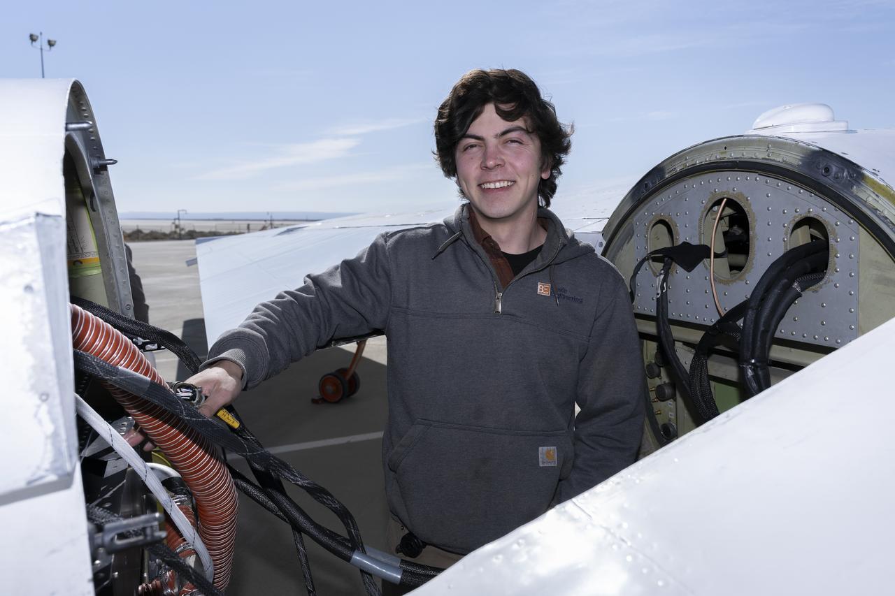
Engineers prepare for data download from the ER-2 for airborne science mission, GLOVE
2025-02-11 · NASA Image and Video Library
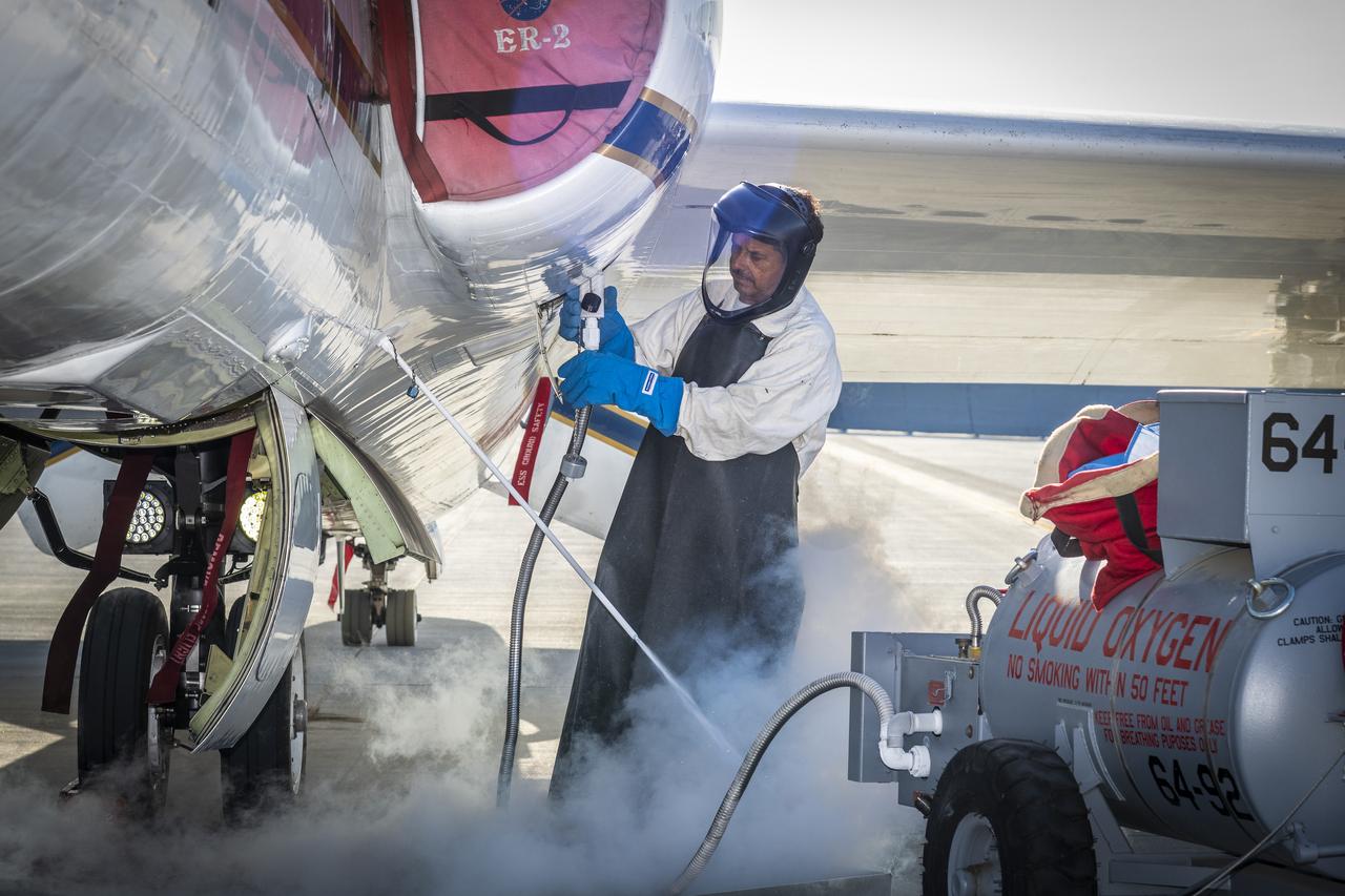
ER-2 aircraft expert handles liquid oxygen for airborne science mission
2024-05-22 · NASA Image and Video Library