NASA Flight Tests Navigation System on a Drone for Safe Moon and Mars Landings
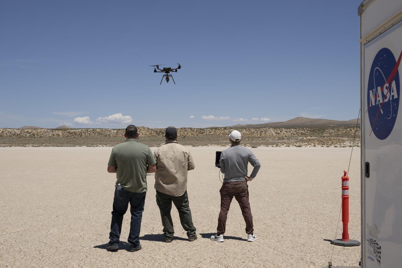
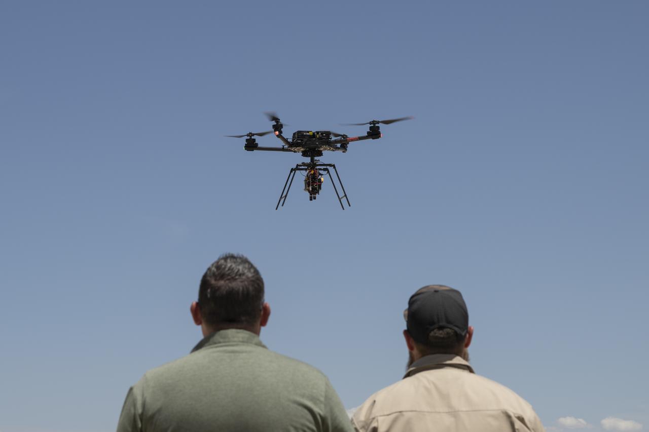
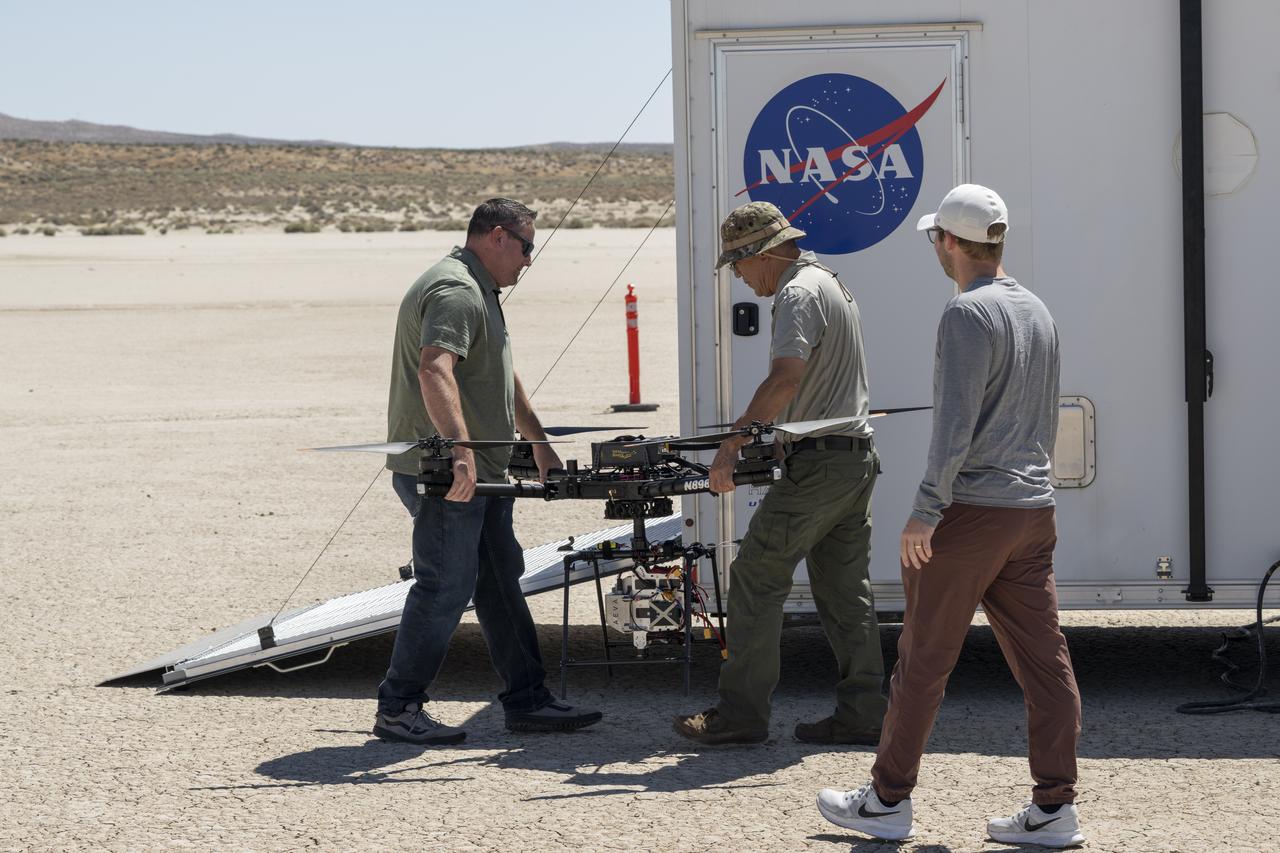
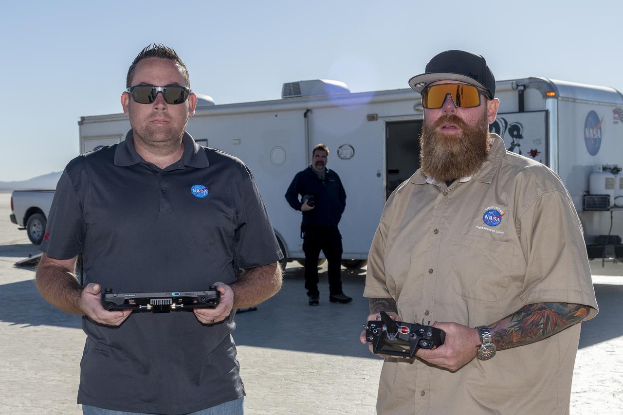
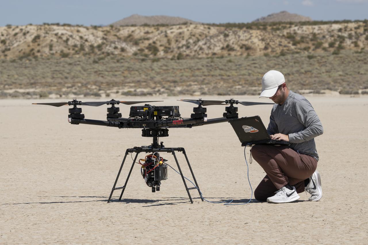
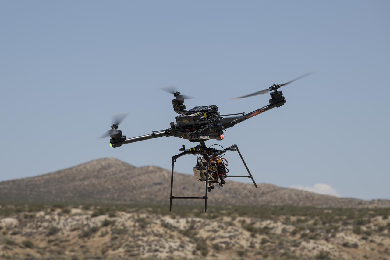
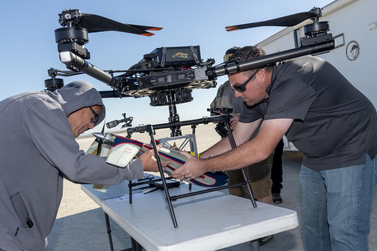
Justin Link, a small uncrewed aircraft pilot, left, Justin Hall, chief pilot, and Davis Adams, project manager, test an advanced guidance and navigation system known as the Safe and Precise Landing – Integrated Capabilities Evolution (SPLICE) experiment on an Alta-X drone near NASA’s Armstrong Flight Research Center in Edwards, California, on Wednesday, July 15, 2026. Researchers at NASA’s Johnson Space Center in Houston developed SPLICE, which successfully communicated with the remotely piloted aircraft during hover maneuvers in flight. SPLICE will help spacecraft land precisely and detect and avoid potential hazards, which is critical for NASA missions to the Moon and to Mars.
- Date
- 2026-07-15
- Photographer / author
- NASA/Carla Thomas
- Collection
- AFRC
- Archive
- NASA Image and Video Library
- Type
- photograph
Public domainsafest
Reason: a NASA work: not copyrighted in the United States.
Read from: NASA media usage guidelines: NASA material is not copyrighted in the US unless noted; no third-party credit or mark found.
Credit line
"NASA Flight Tests Navigation System on a Drone for Safe Moon and Mars Landings" (2026-07-15). NASA/AFRC/NASA/Carla Thomas. Public domain. https://images.nasa.gov/details/AFRC2026-0152-22Need photos for a whole script? Add Find Any Photo to Claude and ask for this one by its id: 90943.
More like this
2026-07-15 · NASA Image and Video Library
2026-07-15 · NASA Image and Video Library
Atmospheric Probe Shows Promise in Test Flight
2024-10-22 · NASA Image and Video Library
Atmospheric Probe Shows Promise in Test Flight
2024-10-22 · NASA Image and Video Library
2026-07-15 · NASA Image and Video Library
2026-07-15 · NASA Image and Video Library
NASA Drone Supports Wildland Fire Technology Demonstration
2025-02-25 · NASA Image and Video Library
Atmospheric Probe Shows Promise in Test Flight
2024-10-22 · NASA Image and Video Library