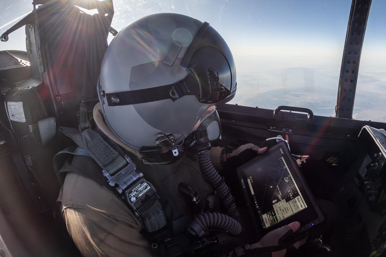
NASA Photographer Tracks Airborne Location Integrating Geospatial Navigation System
NASA photographer James Ross monitors the Airborne Location Integrating Geospatial Navigation System (ALIGNS) from the backseat of an F-15 near NASA’s Armstrong Flight Research Center in Edwards, California. The ALIGNS provides real-time positioning guidance between aircraft for shock wave probing and schlieren imagery capture.
- Date
- 2025-04-30
- Photographer / author
- NASA/Jim Ross
- Collection
- AFRC
- Archive
- NASA Image and Video Library
- Type
- photograph
Public domainsafest
Reason: a NASA work: not copyrighted in the United States.
Read from: NASA media usage guidelines: NASA material is not copyrighted in the US unless noted; no third-party credit or mark found.
Credit line
"NASA Photographer Tracks Airborne Location Integrating Geospatial Navigation System" (2025-04-30). NASA/AFRC/NASA/Jim Ross. Public domain. https://images.nasa.gov/details/AFRC2025-0074-184Need photos for a whole script? Add Find Any Photo to Claude and ask for this one by its id: 90996.
More like this
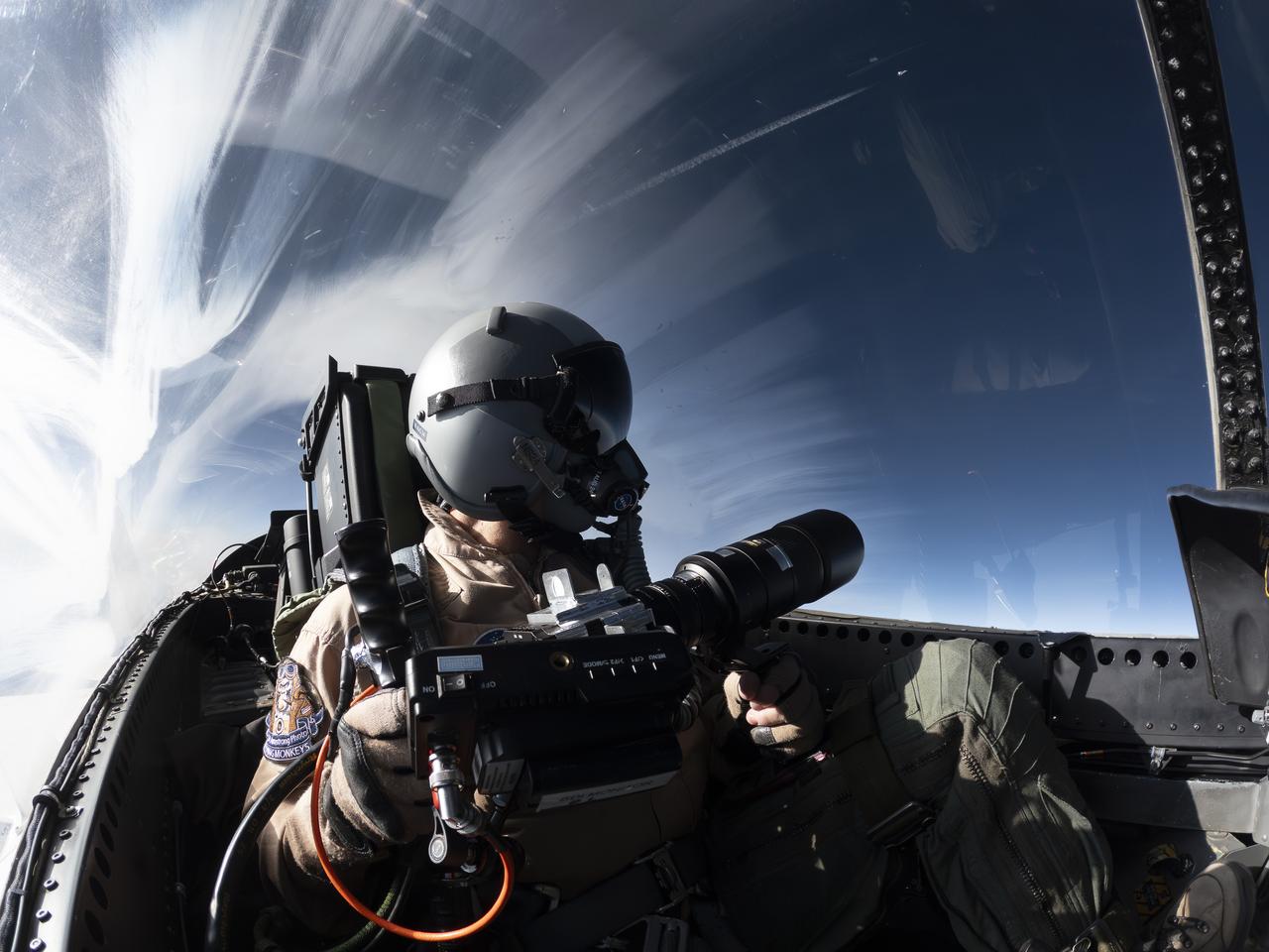
NASA Photographer Uses Schlieren Photography System
2024-08-26 · NASA Image and Video Library
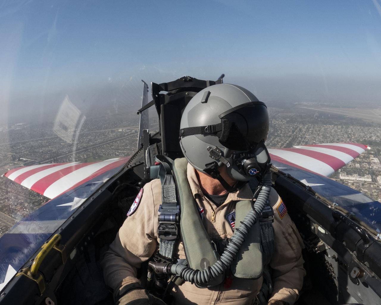
NASA Flies into California’s Pacific Airshow
2026-08-27 · NASA Image and Video Library
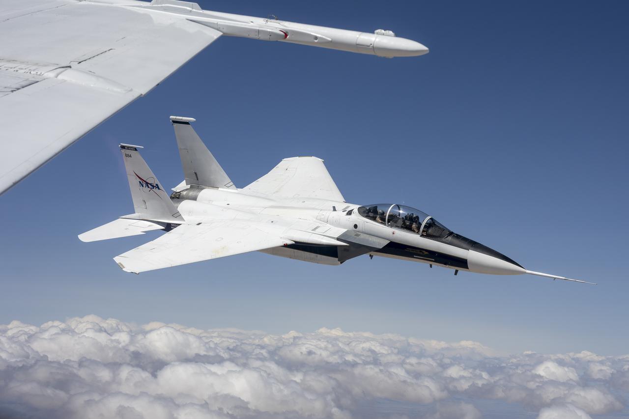
NASA F-15D Research Aircraft Conduct Calibration Flight
2025-04-03 · NASA Image and Video Library
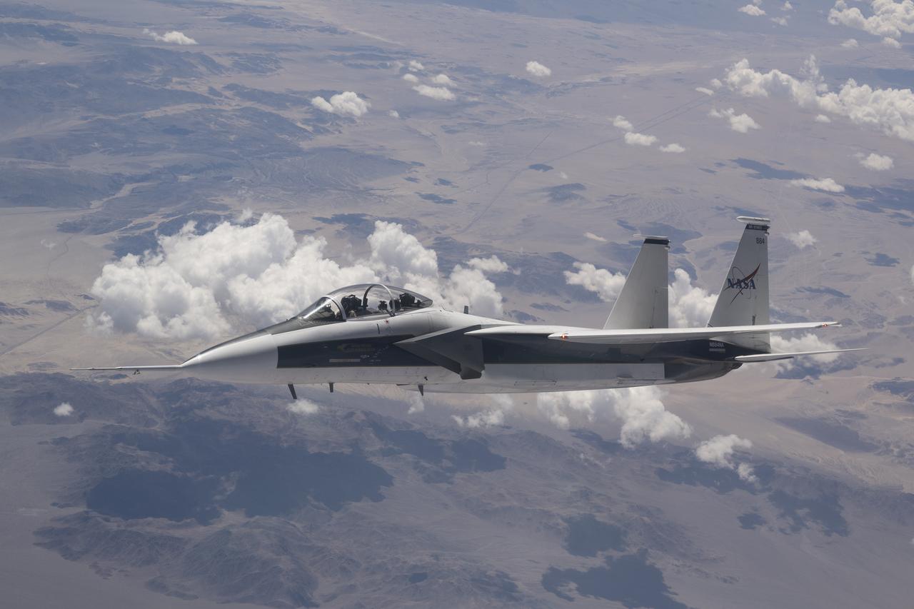
NASA’s F-15D Tests New Shock-Sensing Probe
2025-04-03 · NASA Image and Video Library
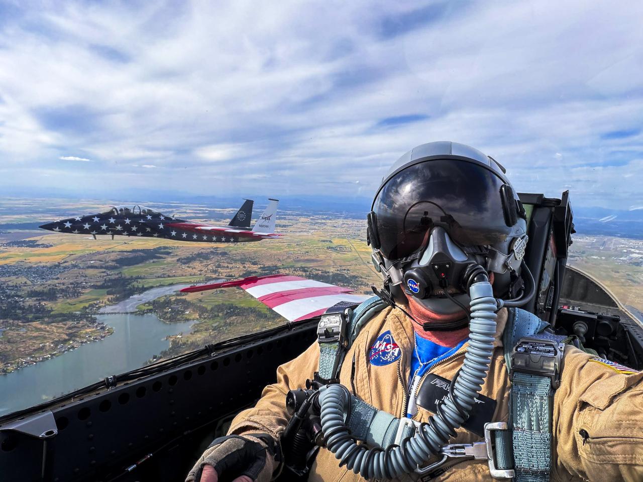
NASA F-15 and F-18 Soar Above Washington to Celebrate America’s 250th Birthday
2026-07-02 · NASA Image and Video Library
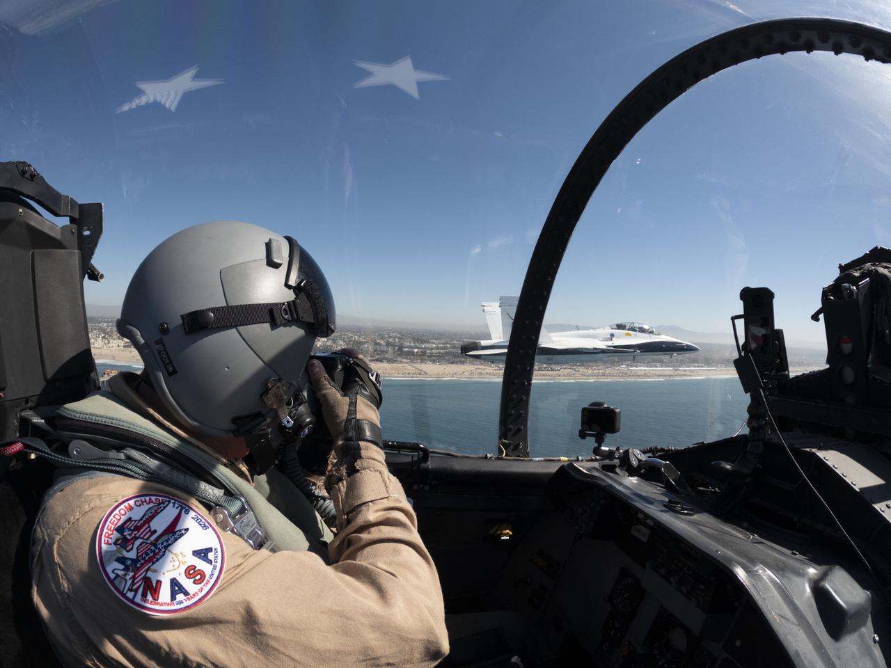
NASA Flies into California’s Pacific Airshow
2026-08-14 · NASA Image and Video Library

NASA Aerial Photographer Completes 1,000th Flight
2025-04-09 · NASA Image and Video Library

NASA’s X-59 in Flight with F/A-18 Research Aircraft Monitoring
2025-10-28 · NASA Image and Video Library