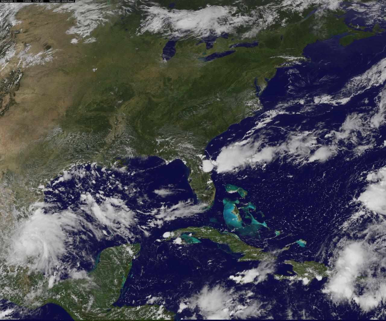
NASA Satellite Gives a Clear View for NASA's LADEE Launch
NASA's Wallops Flight Facility is located on Wallops Island, Va. and is the site of tonight's moon mission launch. Satellite imagery from NOAA's GOES-East satellite shows that high pressure remains in control over the Mid-Atlantic region, providing an almost cloud-free sky. This visible image of the Mid-Atlantic was captured by NOAA's GOES-East satellite at 17:31 UTC/1:31 p.m. EDT and shows some fair weather clouds over the Delmarva Peninsula (which consists of the state of Delaware and parts of Maryland and Virginia - which together is "Delmarva") and eastern Virginia and North Carolina. Most of the region is cloud-free, making for a perfect viewing night to see a launch. NOAA operates GOES-East and NASA's GOES Project at the NASA Goddard Space Flight Center in Greenbelt, Md. creates images and animations from the data. NOAA's National Weather Service forecast for tonight, Sept. 6 calls for winds blowing from the east to 11 mph, with clear skies and overnight temperatures dropping to the mid-fifties. The Lunar Atmosphere and Dust Environment Explorer, known as LADEE (pronounced like "laddie"), launches tonight at 11:27 p.m. EDT from Pad 0B at the Mid-Atlantic R
- Date
- 2017-12-08
- Collection
- GSFC
- Archive
- NASA Image and Video Library
- Type
- photograph
Public domainsafest
Reason: a NASA work: not copyrighted in the United States.
Read from: NASA media usage guidelines: NASA material is not copyrighted in the US unless noted; no third-party credit or mark found.
Credit line
"NASA Satellite Gives a Clear View for NASA's LADEE Launch" (2017-12-08). NASA/GSFC. Public domain. https://images.nasa.gov/details/GSFC_20171208_Archive_e001367Need photos for a whole script? Add Find Any Photo to Claude and ask for this one by its id: 82815.
More like this
NASA Launches Five Rockets in Five Minutes
2017-12-08 · NASA Image and Video Library
NASA launches student experiments from Wallops
2017-12-08 · NASA Image and Video Library

Space Technology Demo at NASA Wallops
2017-12-08 · NASA Image and Video Library
MUSIC Successfully Launched from NASA Wallops
2017-12-08 · NASA Image and Video Library
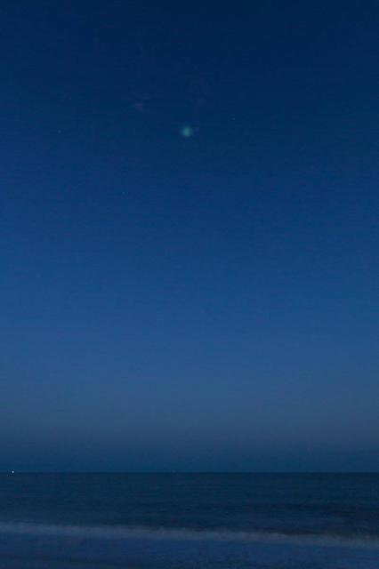
Space Technology Demo at NASA Wallops
2017-12-08 · NASA Image and Video Library
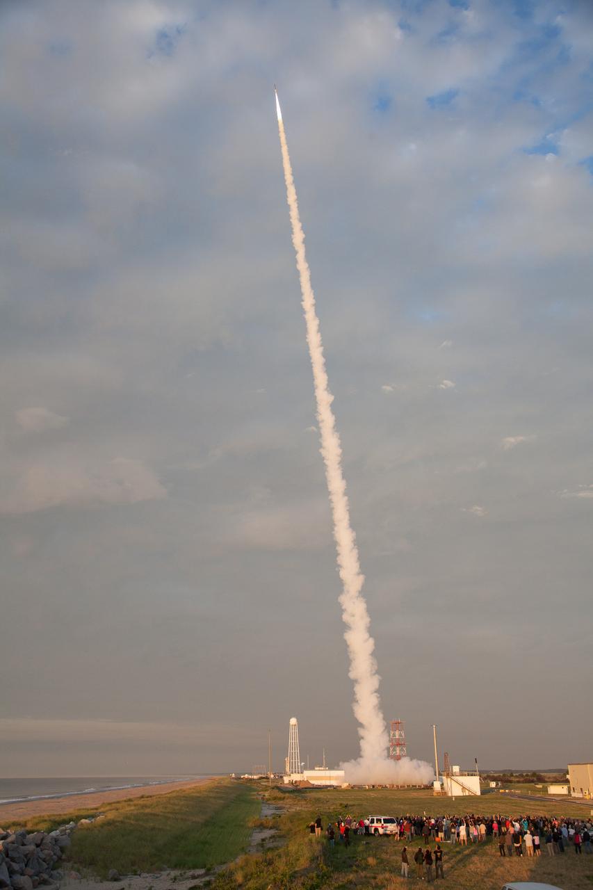
NASA Successfully Launches Suborbital Rocket from Wallops with Student Experiments
2017-12-08 · NASA Image and Video Library
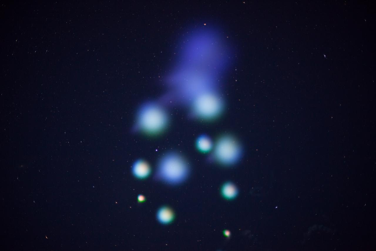
NASA Wallops Rocket Launch Lights up the Mid-Atlantic Coast
2017-12-08 · NASA Image and Video Library

Student experimenters successfully launch suborbital rocket from NASA Wallops
2017-12-08 · NASA Image and Video Library