

Noborito Laboratory complex
on an aerial reconnaissance photograph from 1947
- Date
- 1947
- Photographer / author
- United States Army aerial reconnaissance
- Archive
- Wikimedia Commons
- Type
- photograph
- Original size
- 759 × 837 pixels
Public domainsafest
Reason: a US government work (US Army).
Read from: Commons licence category: PD US Army; no CC BY, CC BY-SA, GFDL or deletion tag on the file page; permission field: This aerial reconnaissance photograph, of Noborito laboratory complex, was taken by US Army reconnaissance flight in 194.
Credit line
"Noborito Laboratory complex" (1947). United States Army aerial reconnaissance, via Wikimedia Commons. Public domain. https://commons.wikimedia.org/wiki/File:Noborito_Laboratory_complex.jpgNeed photos for a whole script? Add Find Any Photo to Claude and ask for this one by its id: 6149.
More like this
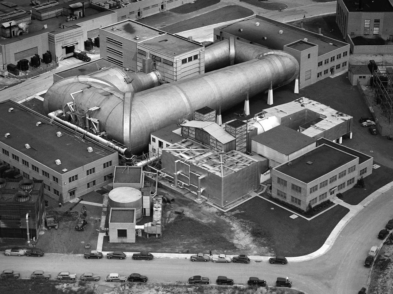
Wind Tunnel Complex at the Aircraft Engine Research Laboratory
1945-09-23 · NASA Image and Video Library

A view from a US Air Force aircraft near the Sinuiju airfield
1952-08-25 · Wikimedia Commons

Aerial view of the Romano Americana oil refinery
1944 · U.S. National Archives
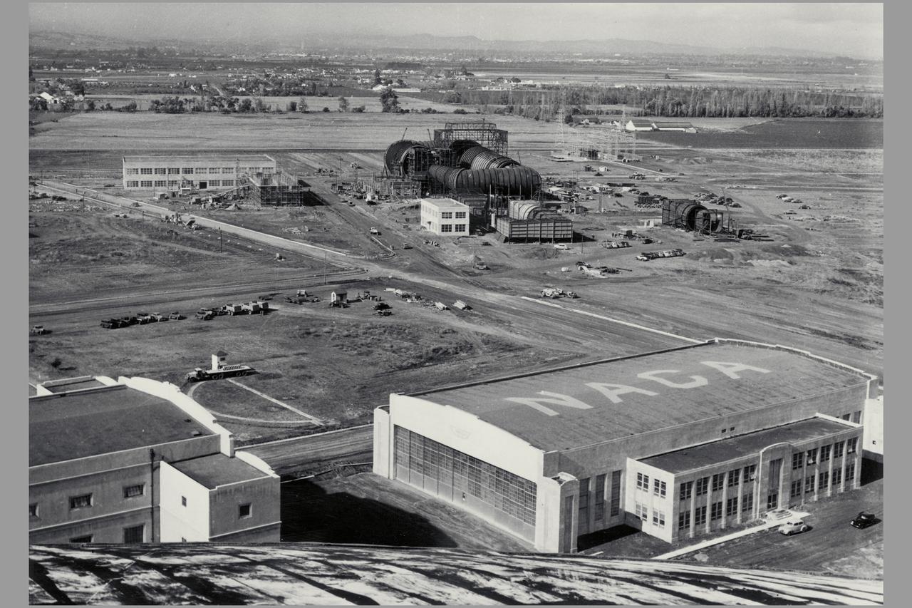
ARC-1969-M-921
1940-11-09 · NASA Image and Video Library

Two Probables. These railroad bridges cross Kum River about 10 miles north of Taejon. On near bridge: left approach out; right line out; direct hit on bridge structure. On far bridge, direct hit.
1950-08-06 · U.S. National Archives

6th Naval Fuel Depot, Takao
c. 1945 · Wikimedia Commons

111-SC-967 - Unidentified location - Aerial photograph
1918–1981 · U.S. National Archives
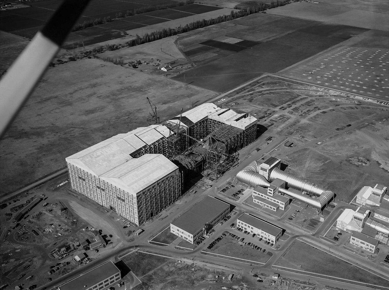
Aerial View of the Nearly Completed 40x80 Foot Wind Tunnel at Ames
1943-11-04 · NASA Image and Video Library