
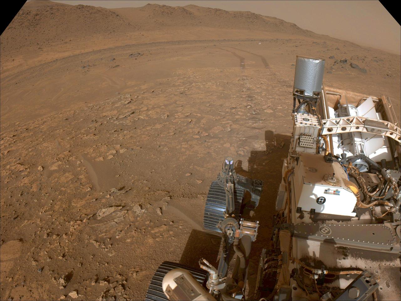
Perseverance Rover's View of South Séítah
This mosaic features a rover-eye view of the "South Séítah" geologic unit of Jezero Crater. Composed of 84 enhanced-color images that were later stitched together, the mosaic was taken on Sept. 12, 2021 (the 201st Martian day, or sol, of the mission), by the Mastcam-Z imager as the rover was parked on an elevated overlook just outside its entry point into South Séítah. An annotated version of this image (Figure 1) indicates the location of several prominent geologic features. At the top left and running about a third of the way to the center of the image is a portion of the delta front, a river delta that billions of years ago fed the lake at Jezero Crater. Below and to the right of that is a ridge nicknamed "Faillefeu" (after a medieval abbey in the French Alps). Farther to the right, at the top of the image is the distant peak called "Santa Cruz." While not a planned destination of the rover, Santa Cruz is geologically interesting since it has mineral signatures – seen both from orbit and by the rover (from its landing site) – consistent with alteration minerals, primarily clays. Near the top at the far right is a portion of the route Perseverance took to get to this location. At
- Date
- 2021-10-15
- Photographer / author
- NASA/JPL-Caltech/ASU/MSSS
- Collection
- JPL
- Archive
- NASA Image and Video Library
- Type
- photograph
Public domainsafest
Reason: a NASA work: not copyrighted in the United States.
Read from: NASA media usage guidelines: NASA material is not copyrighted in the US unless noted; no third-party credit or mark found.
Credit line
"Perseverance Rover's View of South Séítah" (2021-10-15). NASA/JPL/NASA/JPL-Caltech/ASU/MSSS. Public domain. https://images.nasa.gov/details/PIA24816Need photos for a whole script? Add Find Any Photo to Claude and ask for this one by its id: 23329.
More like this
Perseverance Team Selects a New Rock to Abrade
2021-08-26 · NASA Image and Video Library
Mars Rover Opportunity Panorama of Marathon Valley (Enhanced Color)
2016-06-14 · NASA Image and Video Library
Perseverance's Navcam Views Bettys Rock
2022-12-15 · NASA Image and Video Library

View From Within 'Perseverance Valley' on Mars (Enhanced Color)
2017-12-06 · NASA Image and Video Library
Perseverance's Route to the Delta
2022-03-18 · NASA Image and Video Library

Mars Perseverance Sol 16: Left Navigation Camera (Navcam)
2021-03-17 · NASA Image and Video Library
Perseverance Looks Back at 'Bright Angel'
2024-08-14 · NASA Image and Video Library

Putting Martian 'Tribulation' Behind Enhanced Color
2017-05-15 · NASA Image and Video Library