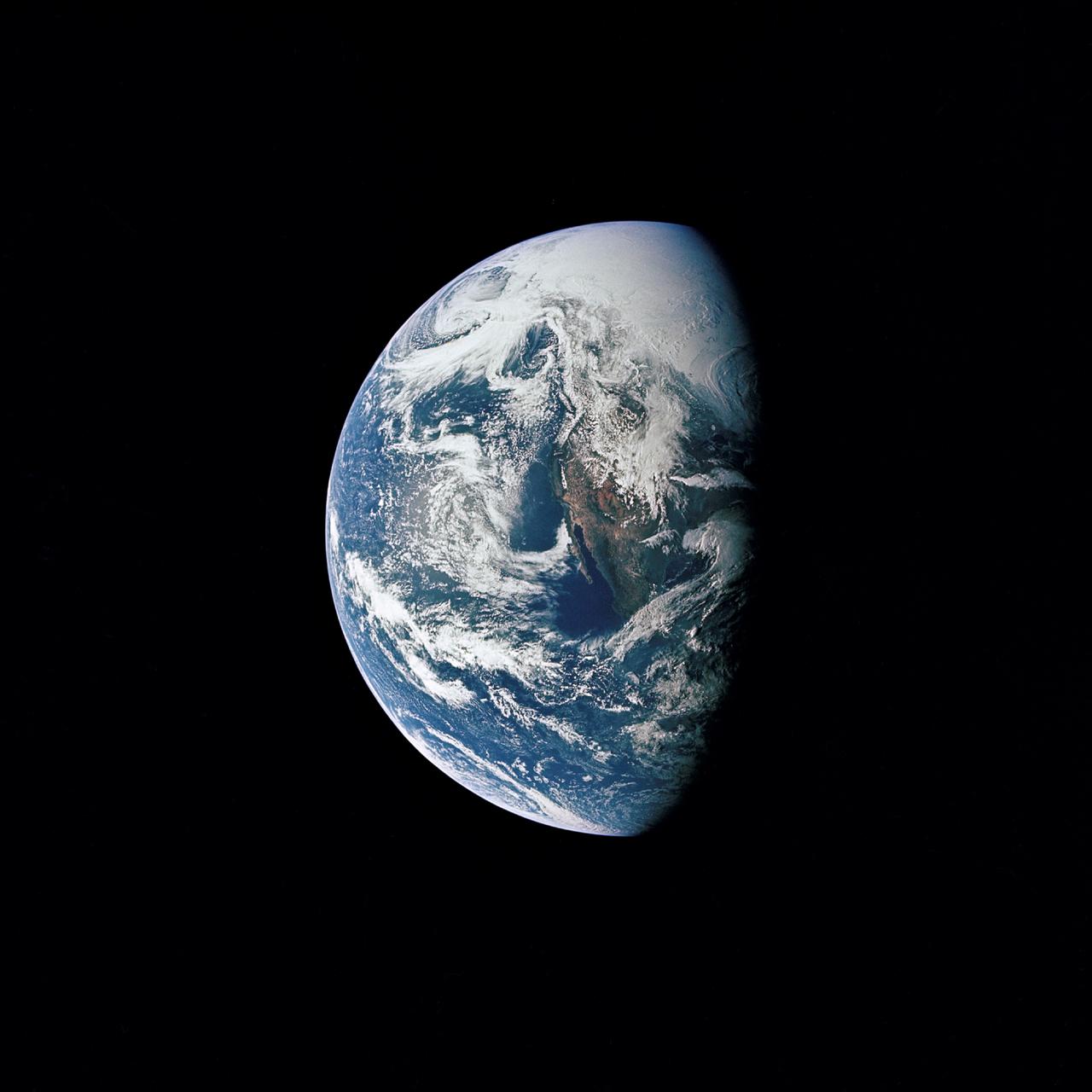
Photograph of Earth taken from Apollo 13 spacecraft during transearth journey
AS13-60-8588 (17 April 1970) --- This photograph of Earth was taken from the National Aeronautics and Space Administration's (NASA) Apollo 13 spacecraft during its trans-Earth journey home. The most visible land mass includes southwestern United States and northwestern Mexico. The peninsula of Baja California is clearly seen. Most of the land area is under heavy cloud cover. The Apollo 13 crew consisted of astronauts James A. Lovell Jr., commander; John L. Swigert Jr., command module pilot; and Fred W. Haise Jr., lunar module pilot.
- Date
- 1970-04-14
- Collection
- JSC
- Archive
- NASA Image and Video Library
- Type
- photograph
Public domainsafest
Reason: a NASA work: not copyrighted in the United States.
Read from: NASA media usage guidelines: NASA material is not copyrighted in the US unless noted; no third-party credit or mark found.
Credit line
"Photograph of Earth taken from Apollo 13 spacecraft during transearth journey" (1970-04-14). NASA/JSC. Public domain. https://images.nasa.gov/details/as13-60-8588Need photos for a whole script? Add Find Any Photo to Claude and ask for this one by its id: 13746.
More like this
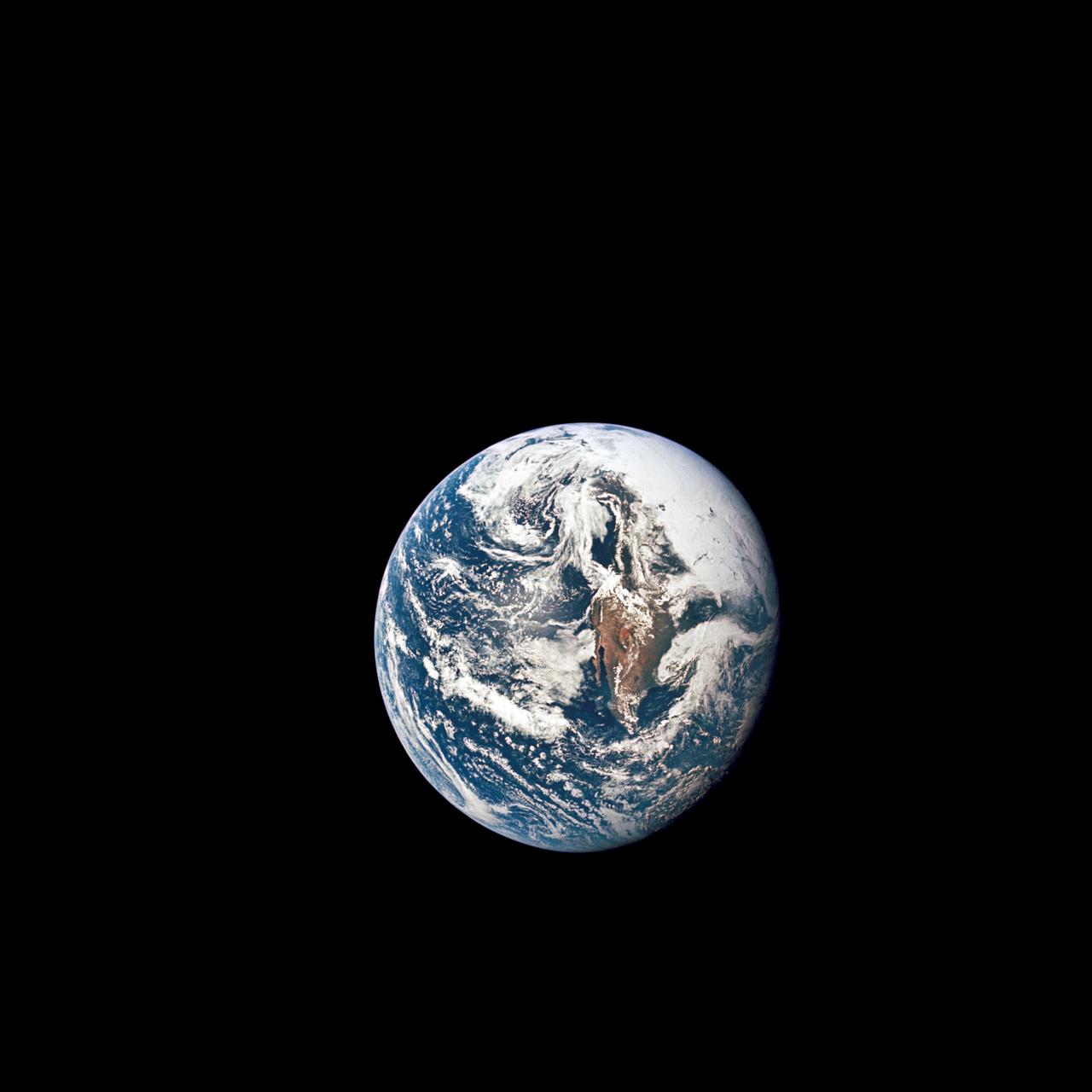
Apollo 10 view of the Earth
1969-05-18 · NASA Image and Video Library
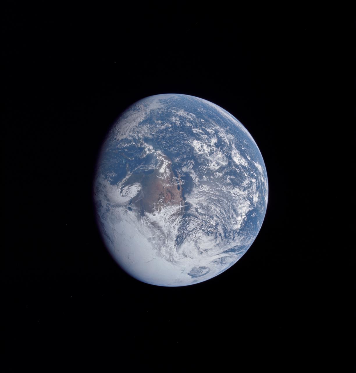
Apollo 16 view of the earth from translunar injection
1972-04-16 · NASA Image and Video Library
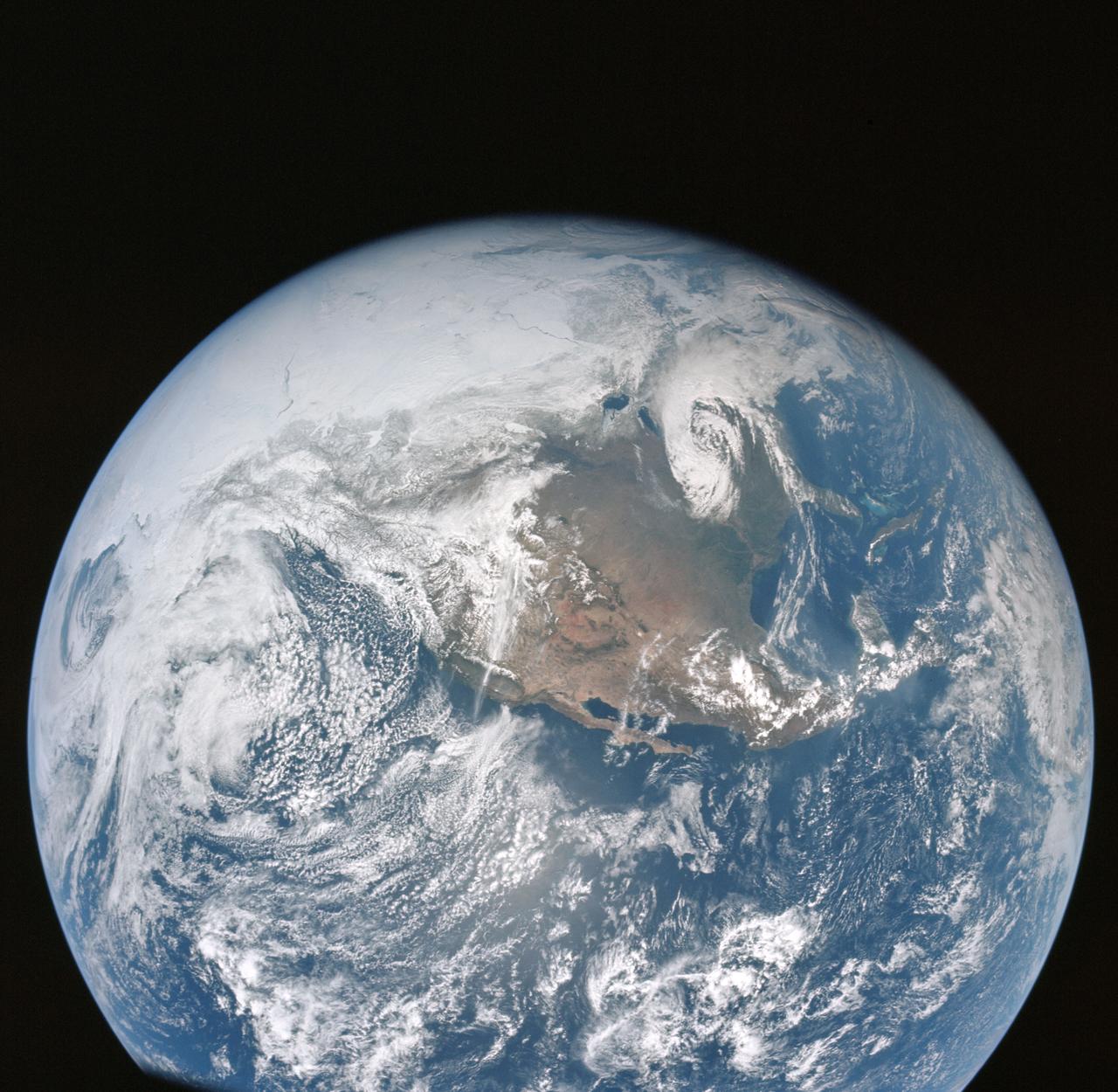
Apollo 16 view of the earth from translunar injection
1972-04-16 · NASA Image and Video Library
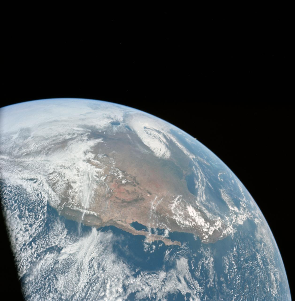
Apollo 16 view of the earth from translunar injection
1972-04-16 · NASA Image and Video Library
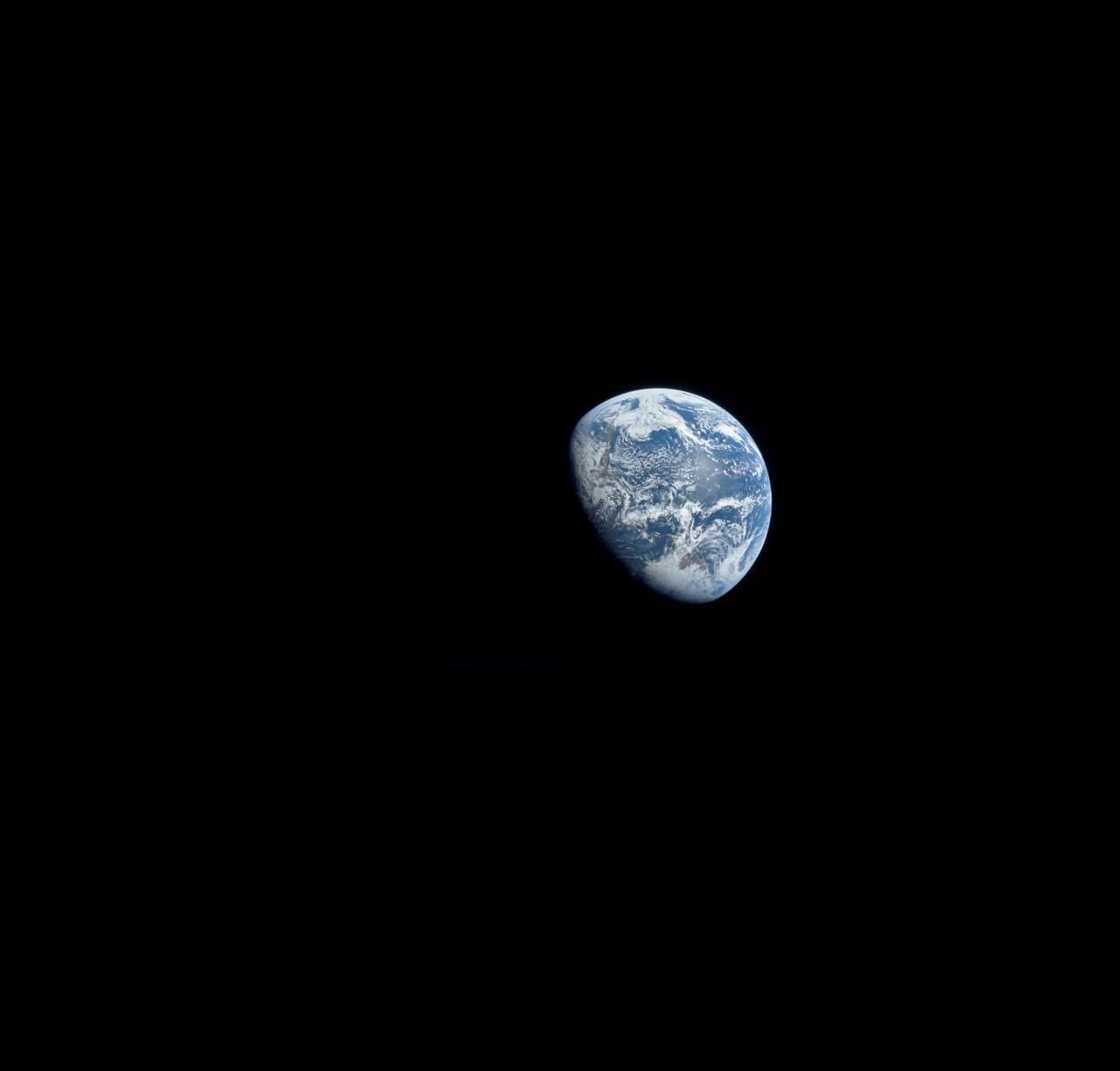
View of earth visible from Apollo 8 spacecraft during lunar orbital mission
1968-12-22 · NASA Image and Video Library
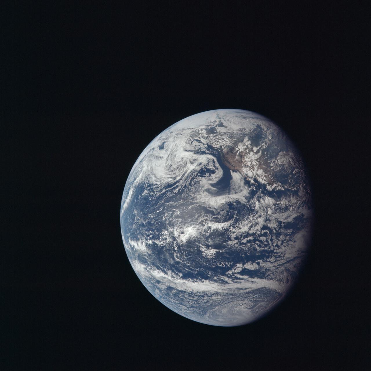
View of Earth taken by Apollo 11 crewmembers
1969-07-16 · NASA Image and Video Library
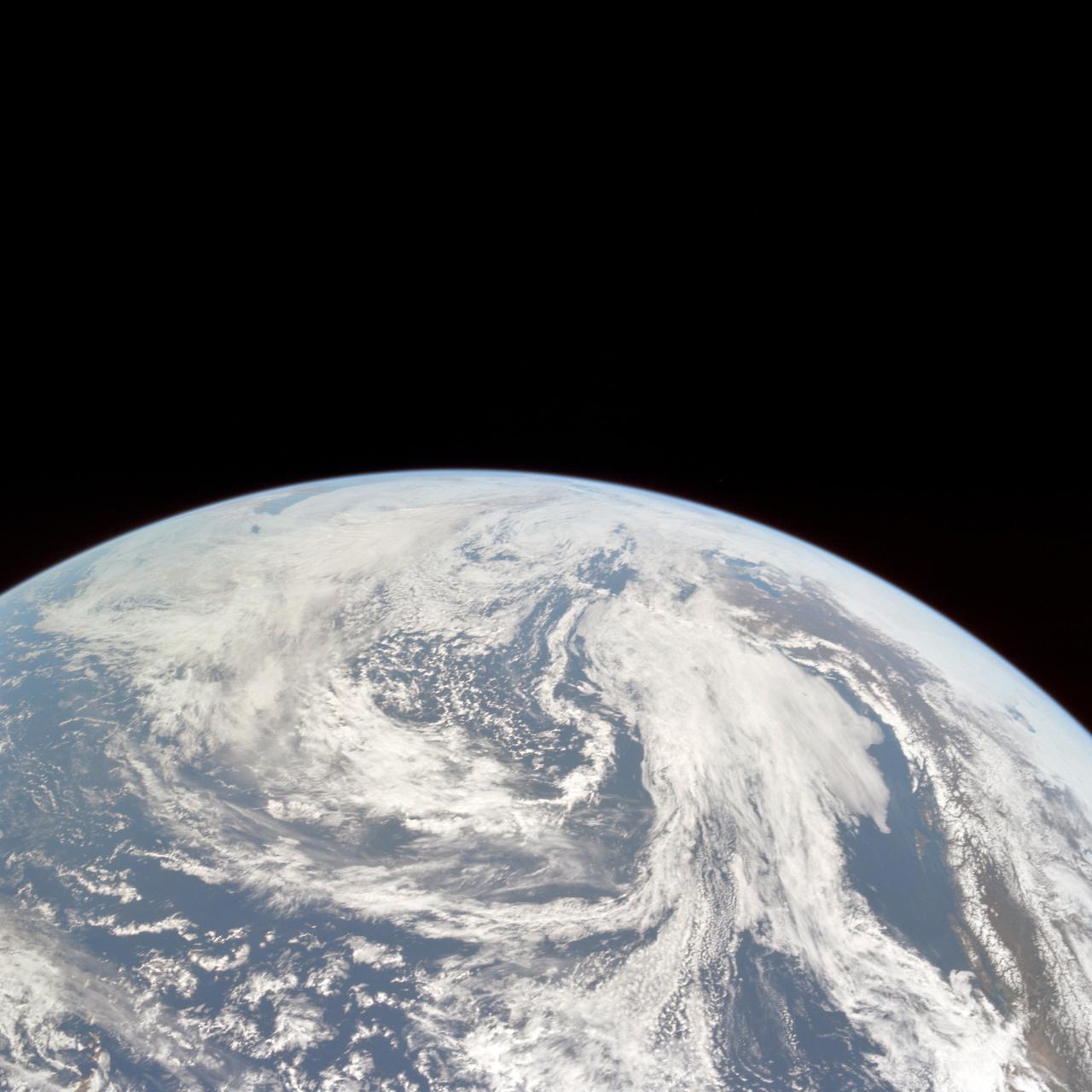
Apollo 10 view of the Earth
1969-05-18 · NASA Image and Video Library
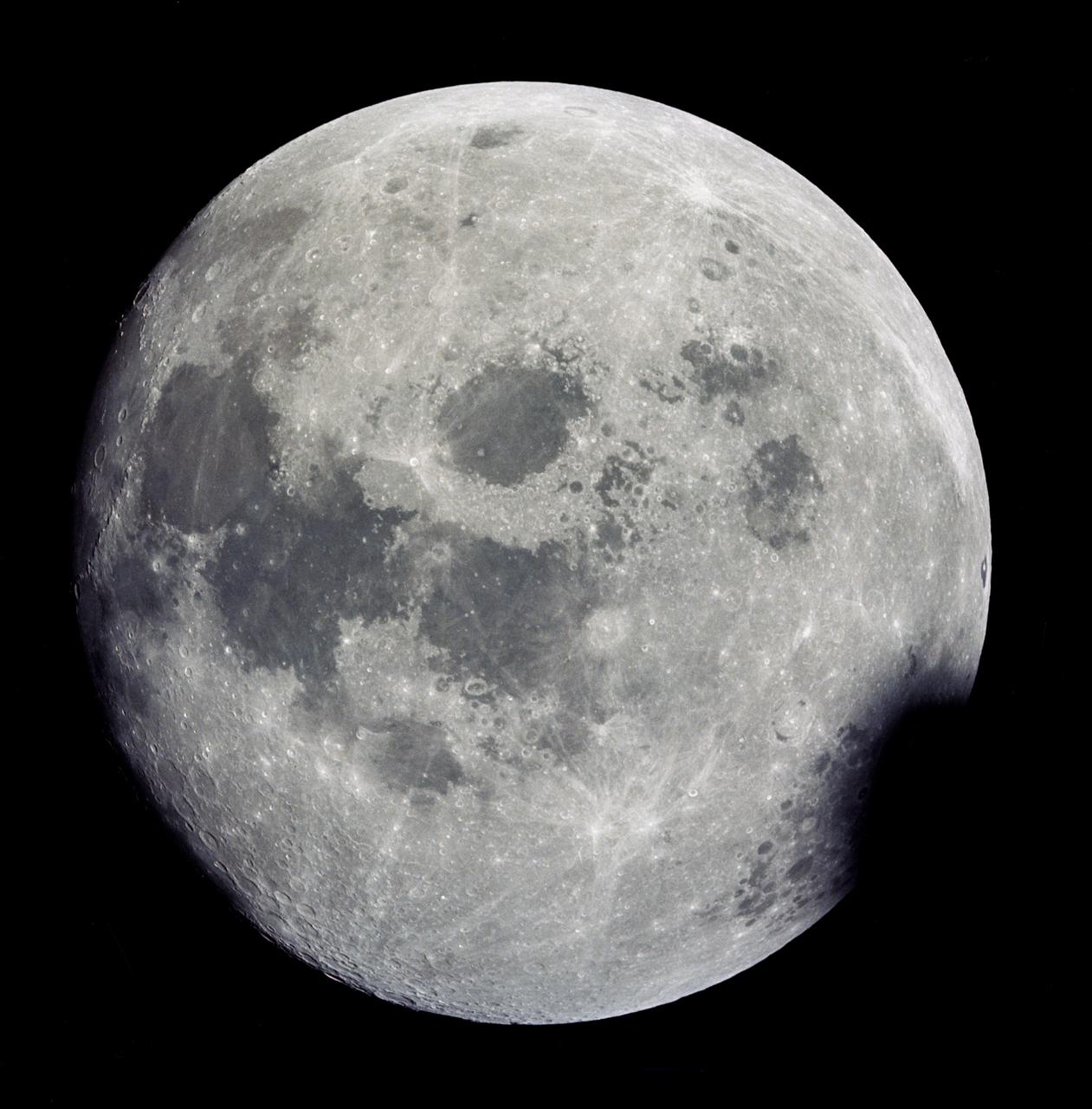
View of near full Moon photographed by Apollo 13 during transearth journey
1970-04-14 · NASA Image and Video Library