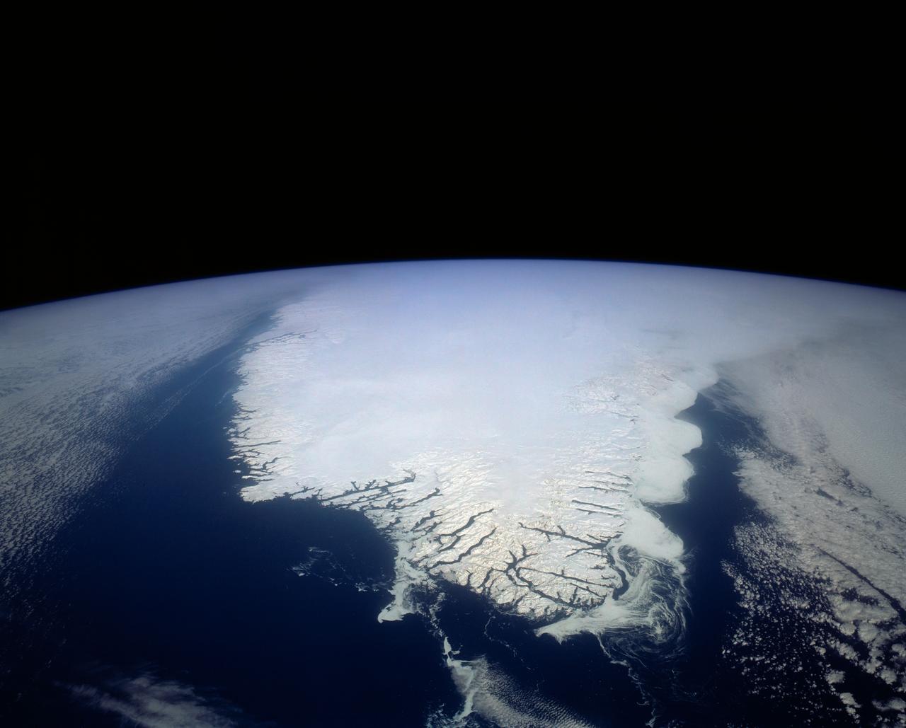
South Greenland, North Atlantic Ocean
This spectacular north looking view of south Greenland (62.0N, 46.0W) shows numerous indentations along the coastline, many of which contain small settlements. These indentations are fiords carved by glaciers of the last ice age. Even today, ice in the center of Greenland is as much as 10,000 ft. thick and great rivers of ice continuously flow toward the sea, where they melt or break off as icebergs - some of which may be seen floating offshore.
- Date
- 1992-04-02
- Collection
- JSC
- Archive
- NASA Image and Video Library
- Type
- photograph
Public domainsafest
Reason: a NASA work: not copyrighted in the United States.
Read from: NASA media usage guidelines: NASA material is not copyrighted in the US unless noted; no third-party credit or mark found.
Credit line
"South Greenland, North Atlantic Ocean" (1992-04-02). NASA/JSC. Public domain. https://images.nasa.gov/details/s45-152-105Need photos for a whole script? Add Find Any Photo to Claude and ask for this one by its id: 15072.
More like this
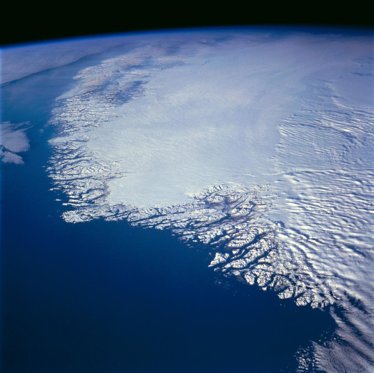
Greenland as seen by the STS-66 shuttle Atlantis
1994-11-14 · NASA Image and Video Library
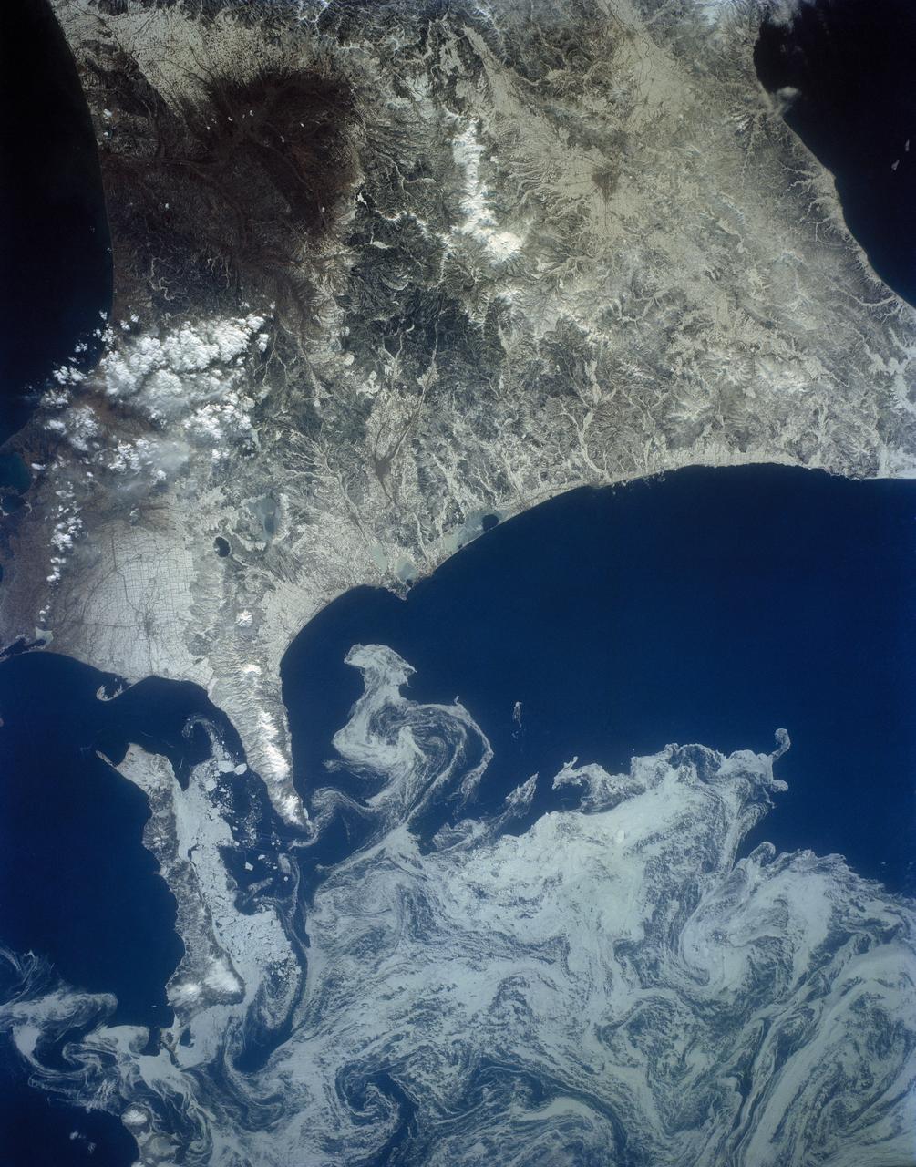
Northeast Coast, Hokkaido, Japan
1992-04-02 · NASA Image and Video Library
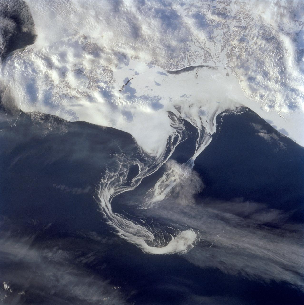
Pack ice along the Kamchatka Peninsula, Russia as seen from STS-60
1994-02-09 · NASA Image and Video Library
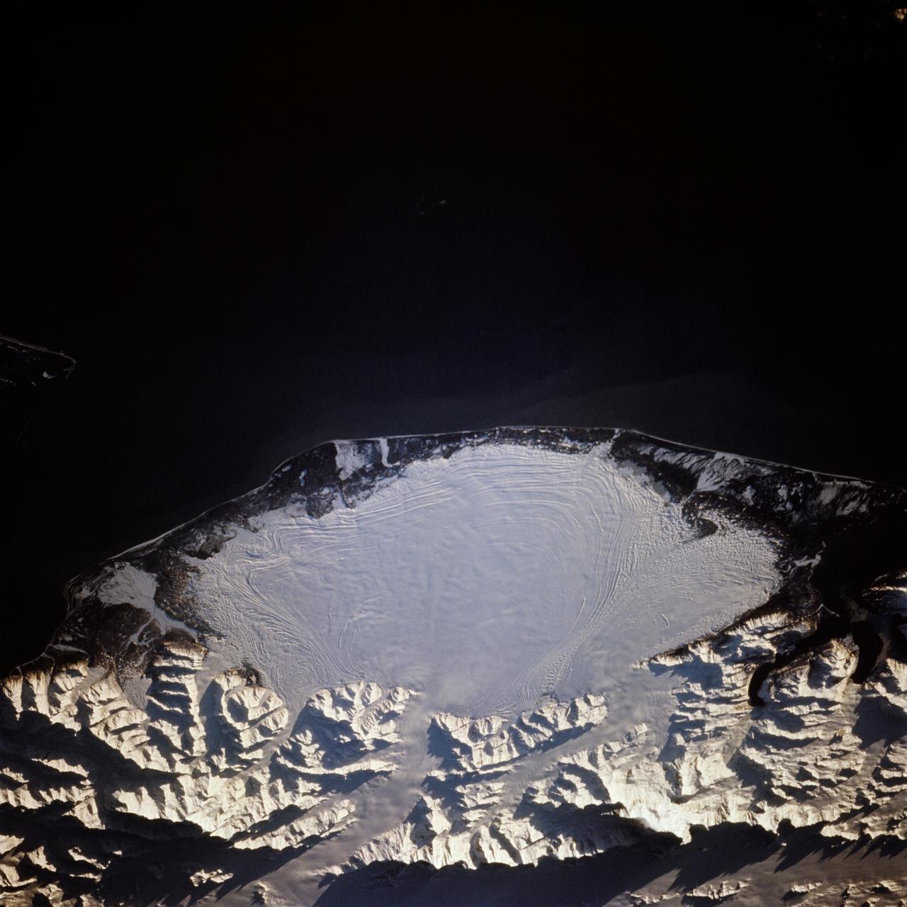
Malaspina Glacier, Alaska as seen from STS-66 Atlantis
1994-11-14 · NASA Image and Video Library

Large Tabular Iceberg, South Atlantic Ocean
1991-09-18 · NASA Image and Video Library
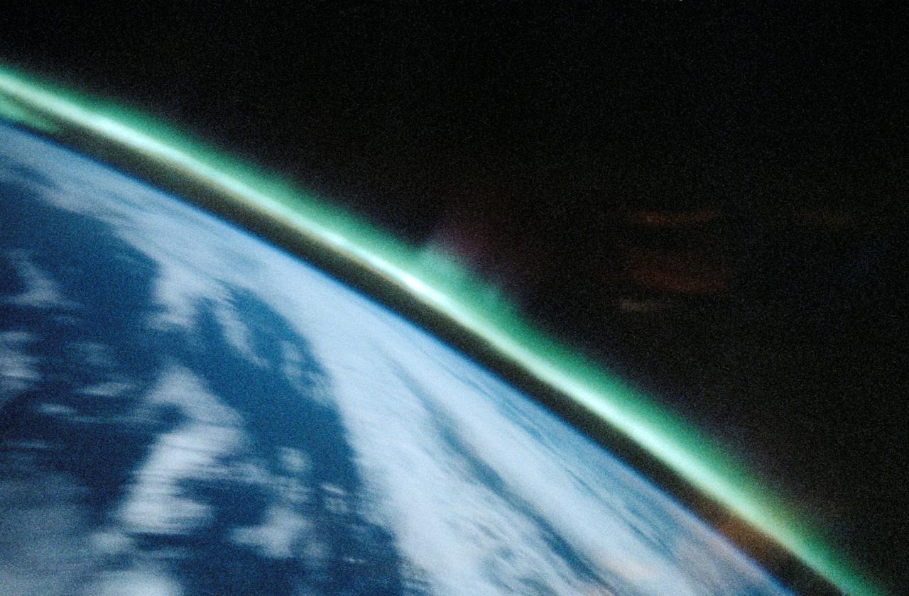
Aurora Australis, Spiked, Sinuous Green Airglow
1991-05-06 · NASA Image and Video Library

Strait of Gibraltar as seen from STS-60
1994-02-09 · NASA Image and Video Library
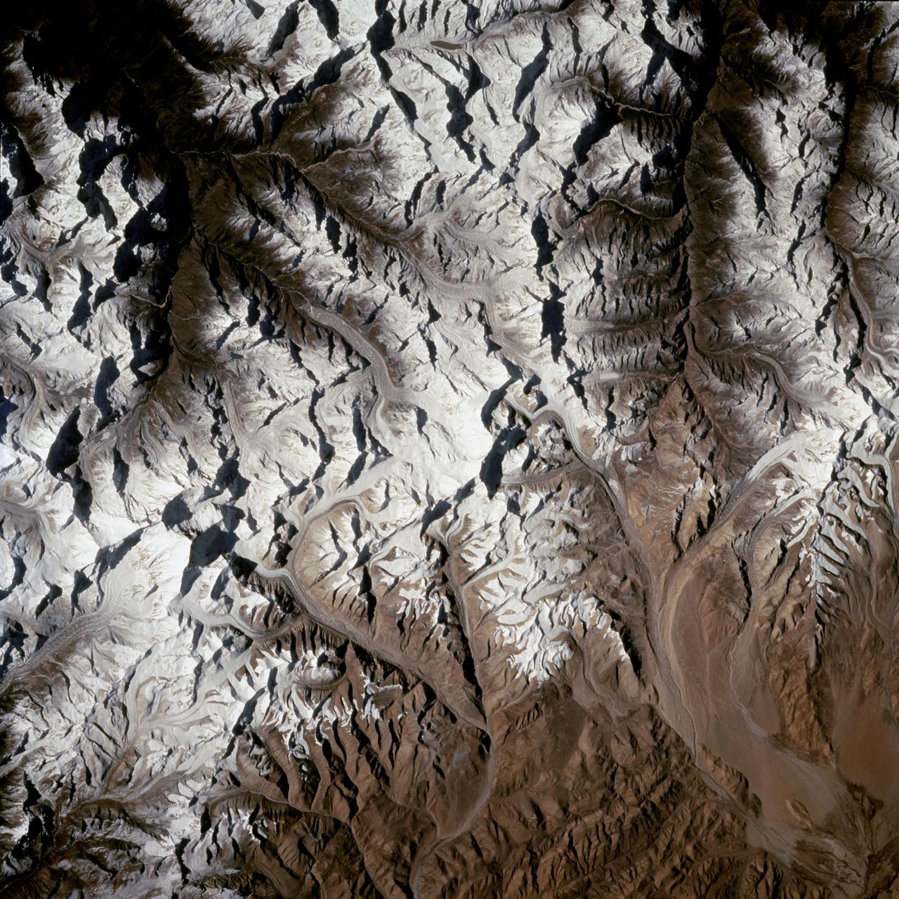
Mount Everest region as seen from the STS-66 orbiter Atlantis
1994-11-14 · NASA Image and Video Library