Space Shuttle Projects
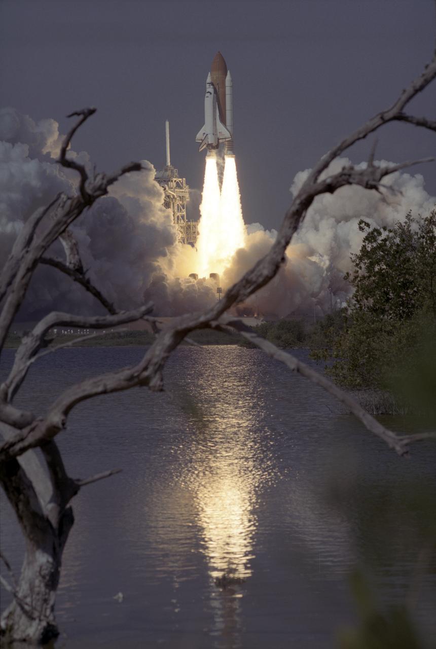
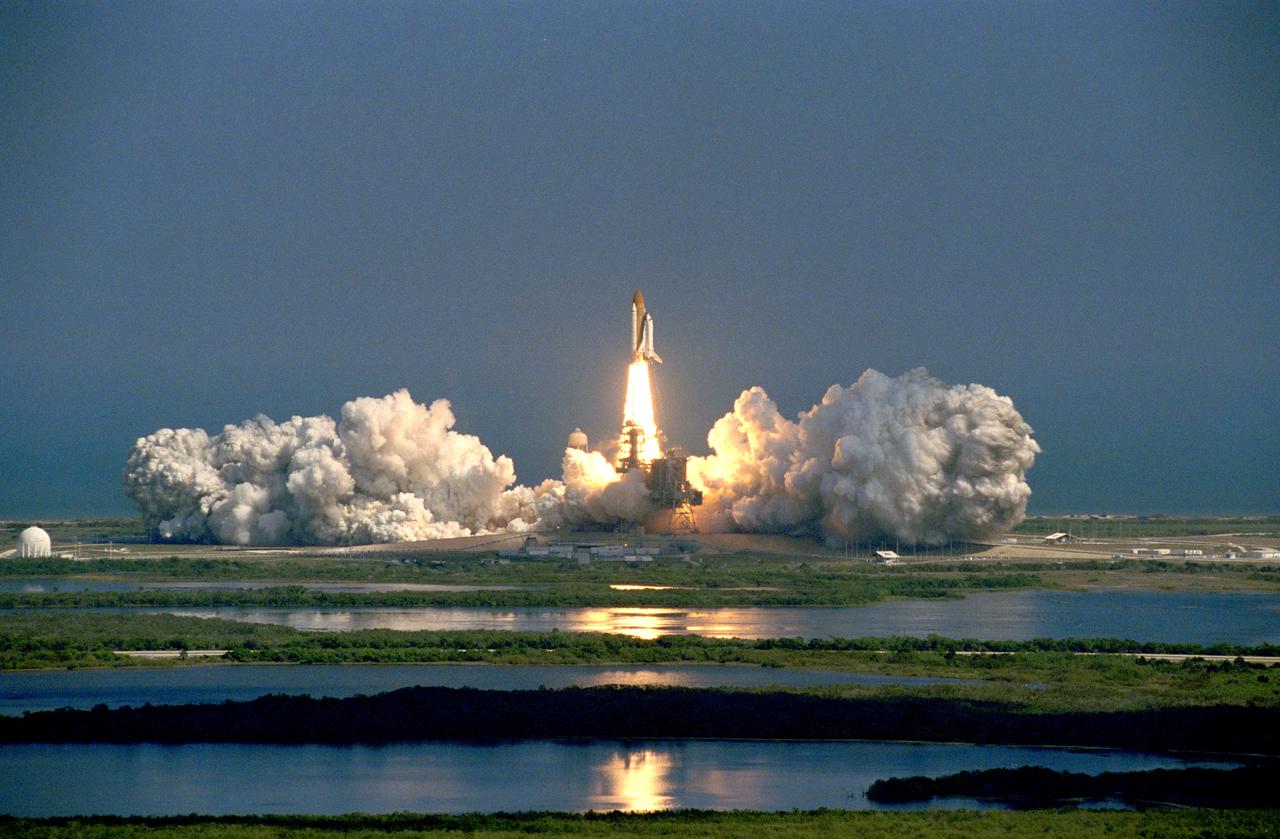
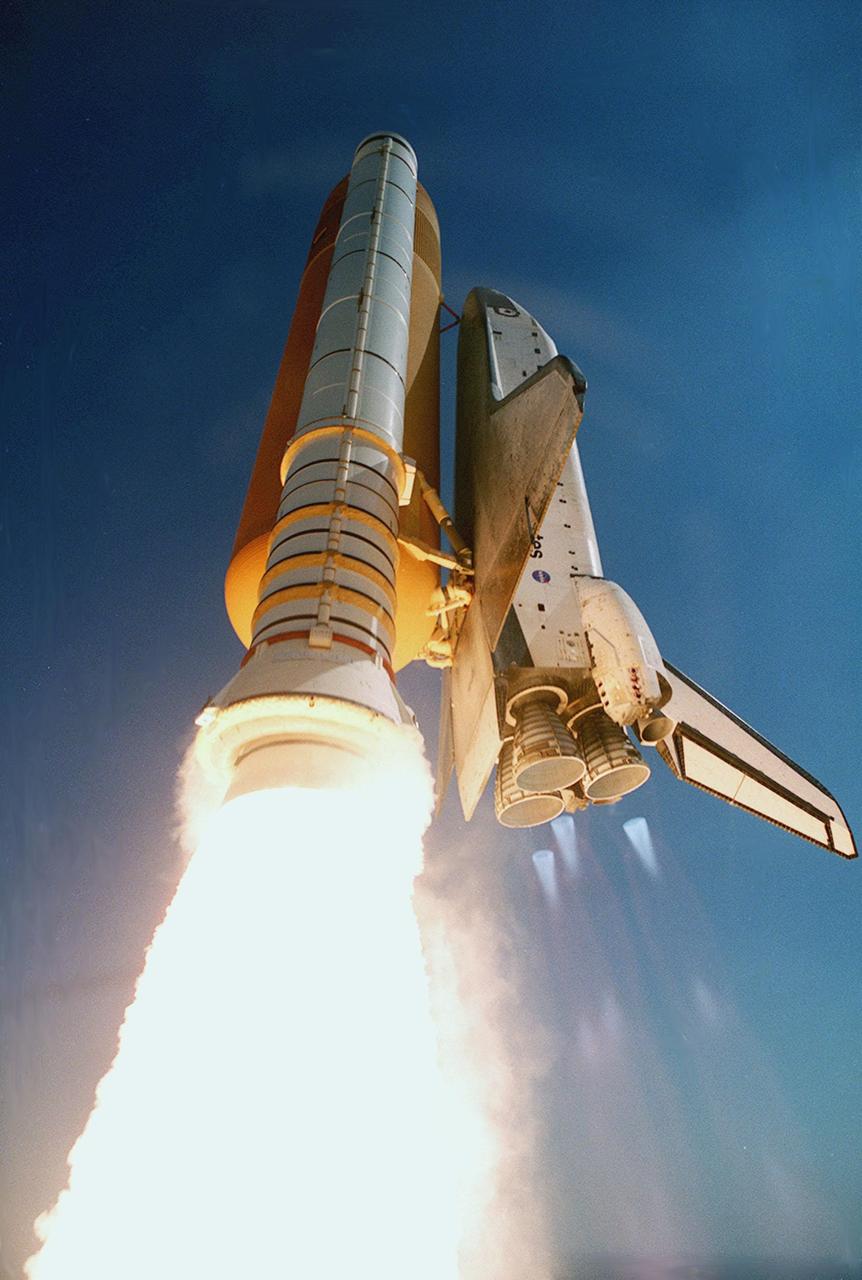
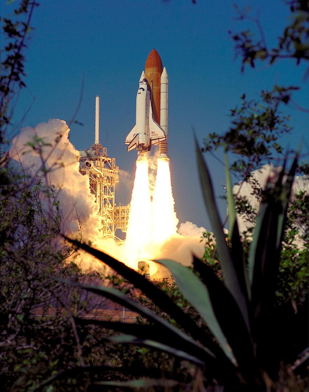
The Space Shuttle Orbiter Endeavour blasts form the launch pad on February 11, 2000 carrying its crew of six for the STS-99 mission, a Shuttle Radar Topography Mission (SRTM), the most ambitious Earth mapping mission to date. Orbiting at 233 kilometers (145 miles) above Earth, two radar anternas, one located in the Shuttle bay and the other located on the end of a 60-meter deployable mast, was used during the mission to map Earth's features. The goal was to provide a 3-dimensional topographic map of the world's surface up to the Arctic and Antarctic Circles. The mission completed 222 hours of around the clock radar mapping gathering enough information to fill more than 20,000 CDs.
- Date
- 2000-02-11
- Collection
- MSFC
- Archive
- NASA Image and Video Library
- Type
- photograph
Public domainsafest
Reason: a NASA work: not copyrighted in the United States.
Read from: NASA media usage guidelines: NASA material is not copyrighted in the US unless noted; no third-party credit or mark found.
Credit line
"Space Shuttle Projects" (2000-02-11). NASA/MSFC. Public domain. https://images.nasa.gov/details/0000919Need photos for a whole script? Add Find Any Photo to Claude and ask for this one by its id: 86935.
More like this
Space Shuttle Projects
2000-02-16 · NASA Image and Video Library
KSC-00pp0226
2000-02-11 · NASA Image and Video Library
STS099-S-021
2000-02-11 · NASA Image and Video Library
sts099-s-019
2009-09-29 · NASA Image and Video Library
KSC-00pp0230
2000-02-11 · NASA Image and Video Library
KSC-00pp0219
2000-02-11 · NASA Image and Video Library

KSC00pp0230
2000-02-11 · NASA Image and Video Library

KSC00pp0219
2000-02-11 · NASA Image and Video Library