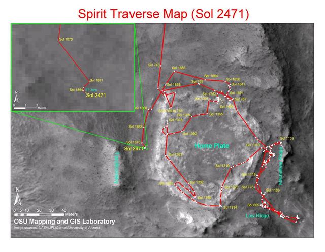
Spirit Traverse Map, Sol 2471
This map shows the path that NASA Mars Exploration Rover Spirit followed from the 743rd Martian day Feb. 4, 2009, or sol, to Sol 2471 Dec. 15, 2010. Spirit has been at a sand-trap location called Troy since April 2009.
- Date
- 2010-12-17
- Photographer / author
- NASA/JPL-Caltech/MSSS/Cornell/Ohio State Univ.
- Collection
- JPL
- Archive
- NASA Image and Video Library
- Type
- photograph
Public domainsafest
Reason: a NASA work: not copyrighted in the United States.
Read from: NASA media usage guidelines: NASA material is not copyrighted in the US unless noted; no third-party credit or mark found.
Credit line
"Spirit Traverse Map, Sol 2471" (2010-12-17). NASA/JPL/NASA/JPL-Caltech/MSSS/Cornell/Ohio State Univ.. Public domain. https://images.nasa.gov/details/PIA13730Need photos for a whole script? Add Find Any Photo to Claude and ask for this one by its id: 23314.
More like this

Earth observations taken by Expedition 38 crewmember
2013-12-14 · NASA Image and Video Library

Smartphone Photos From Orbit
2017-12-08 · NASA Image and Video Library
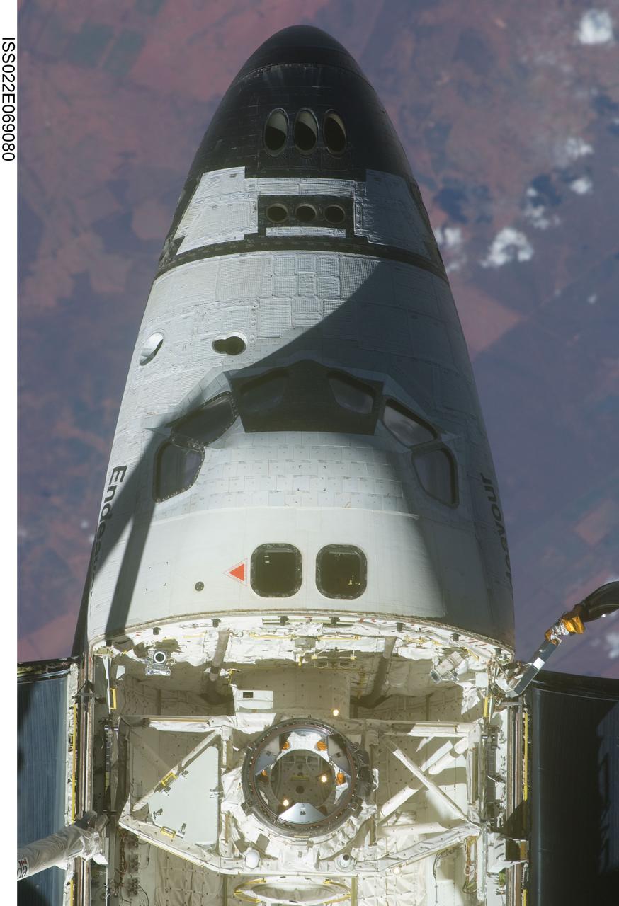
Crew Module and FWD Fuselage on the STS-130 Space Shuttle Endeavour
2010-02-20 · NASA Image and Video Library
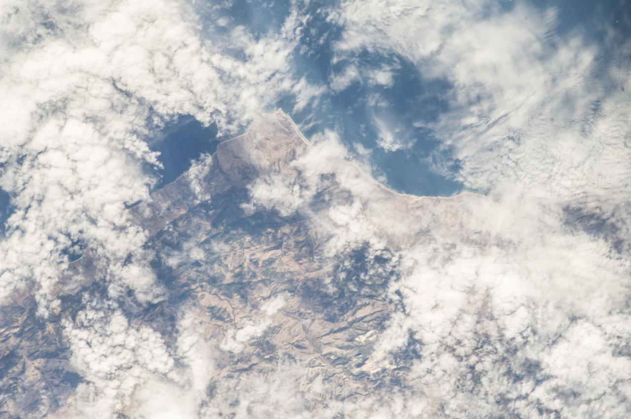
Earth Observations taken by Expedition 38 crewmember
2013-11-12 · NASA Image and Video Library

Earth observations taken by Expedition 38 crewmember
2013-11-26 · NASA Image and Video Library
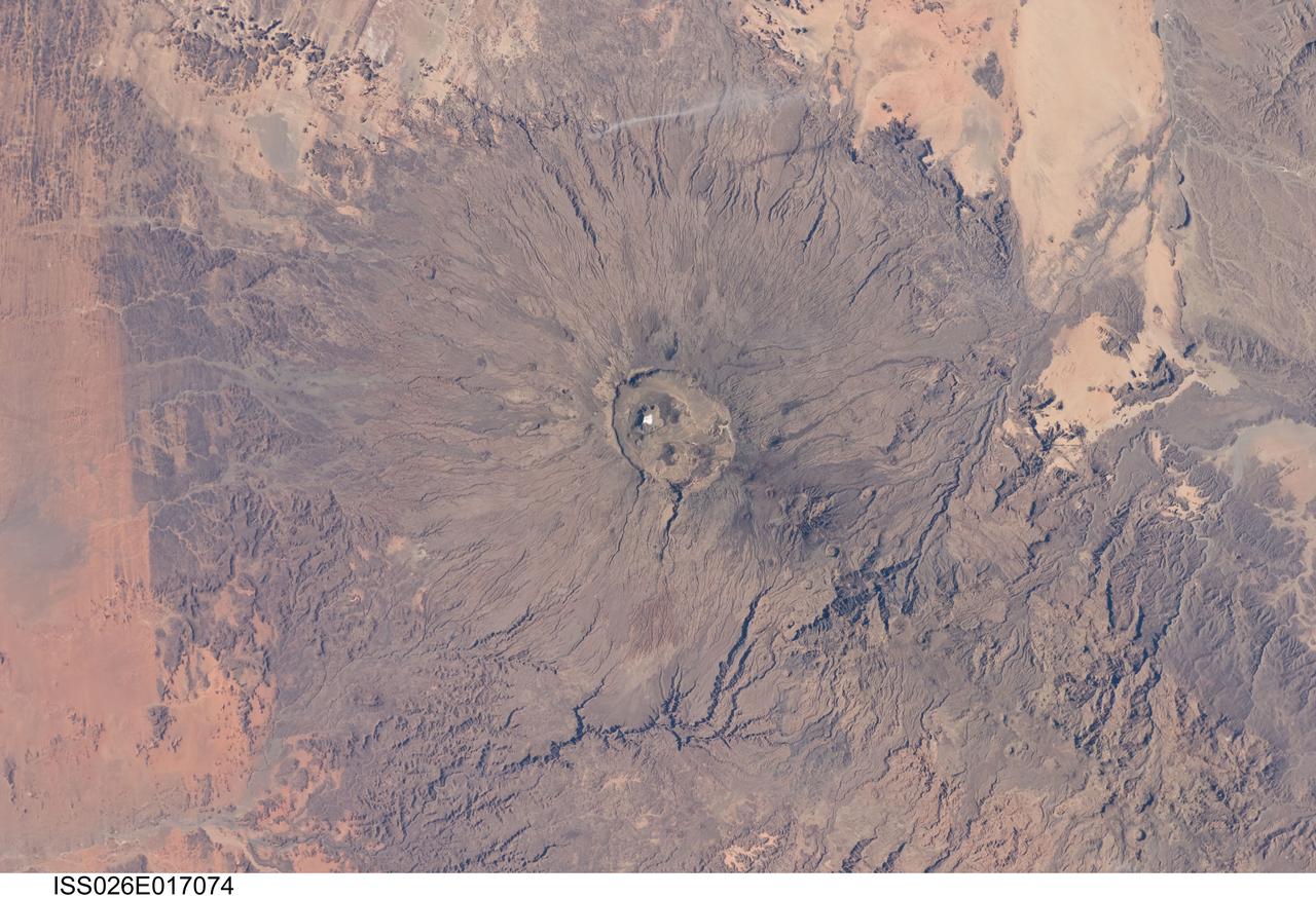
Earth Observations taken by Expedition 26 crewmember
2011-01-11 · NASA Image and Video Library
Earth Observation
2013-09-08 · NASA Image and Video Library

Earth Observations taken by Expedition 34 crewmember
2013-02-24 · NASA Image and Video Library