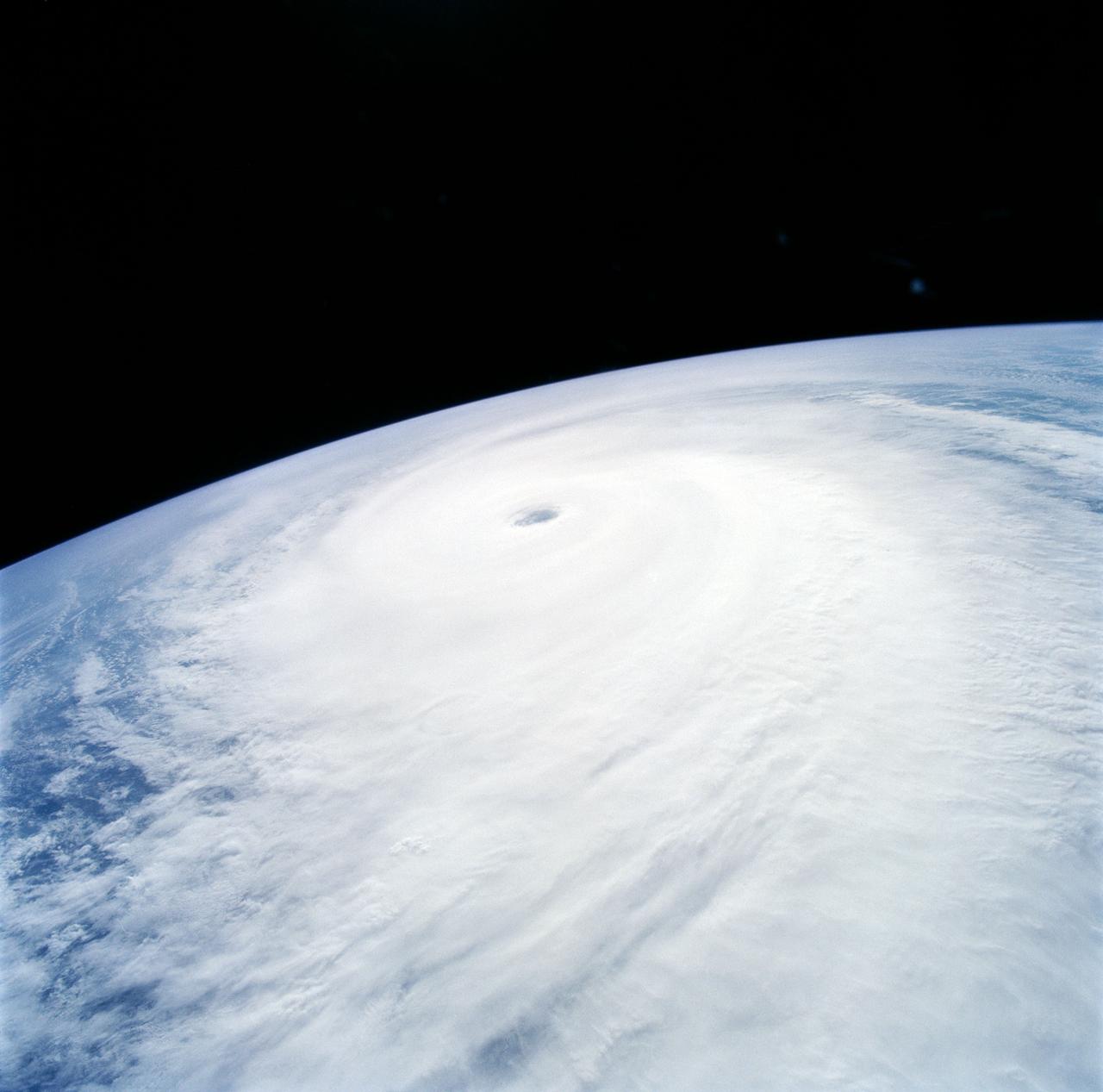
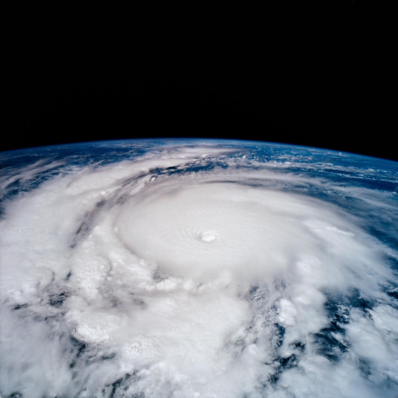
Supertyphoon Yuri, Western Pacific Ocean
Supertyphoon Yuri began development approximately 1000 miles east of the Philippine Islands. At the time this photo was taken, Yuri was about 1000 nautical miles in diameter and had estimated maximum sustained wind speeds of 145 mph, gusting to 170 mph. This oblique view shows the well formed eye of Yuri and the raised segment of clouds at the cusp of the eye indicating very high wind speeds within the vortex.
- Date
- 1991-12-01
- Collection
- JSC
- Archive
- NASA Image and Video Library
- Type
- photograph
Public domainsafest
Reason: a NASA work: not copyrighted in the United States.
Read from: NASA media usage guidelines: NASA material is not copyrighted in the US unless noted; no third-party credit or mark found.
Credit line
"Supertyphoon Yuri, Western Pacific Ocean" (1991-12-01). NASA/JSC. Public domain. https://images.nasa.gov/details/s44-94-051Need photos for a whole script? Add Find Any Photo to Claude and ask for this one by its id: 15064.
More like this
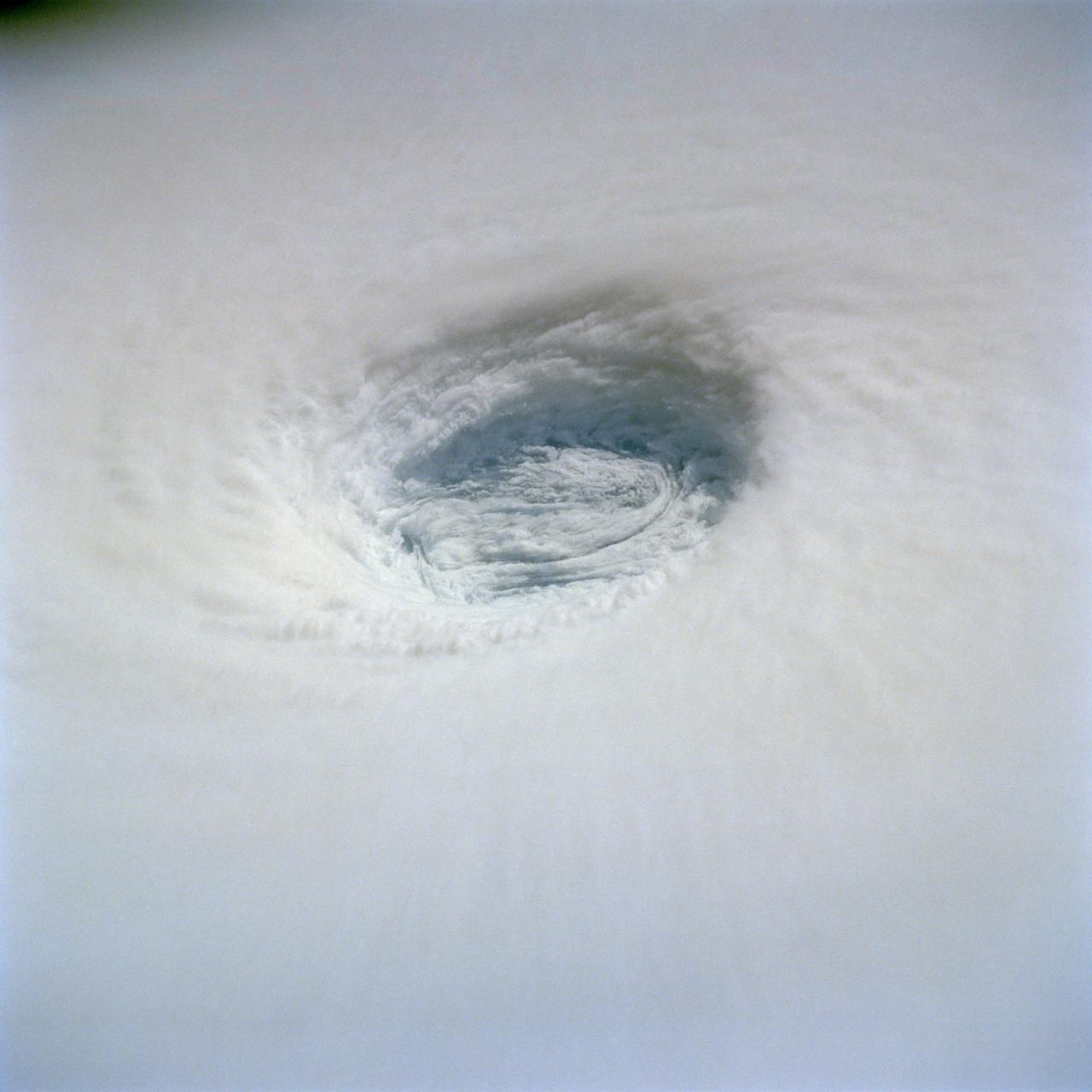
Eye of Supertyphoon Yuri
1991-12-01 · NASA Image and Video Library
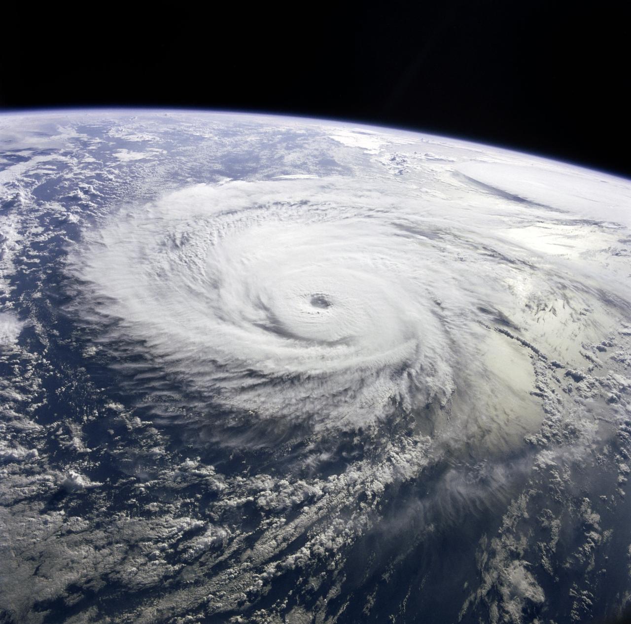
Typhoon Pat, western Pacific
1985-09-03 · NASA Image and Video Library
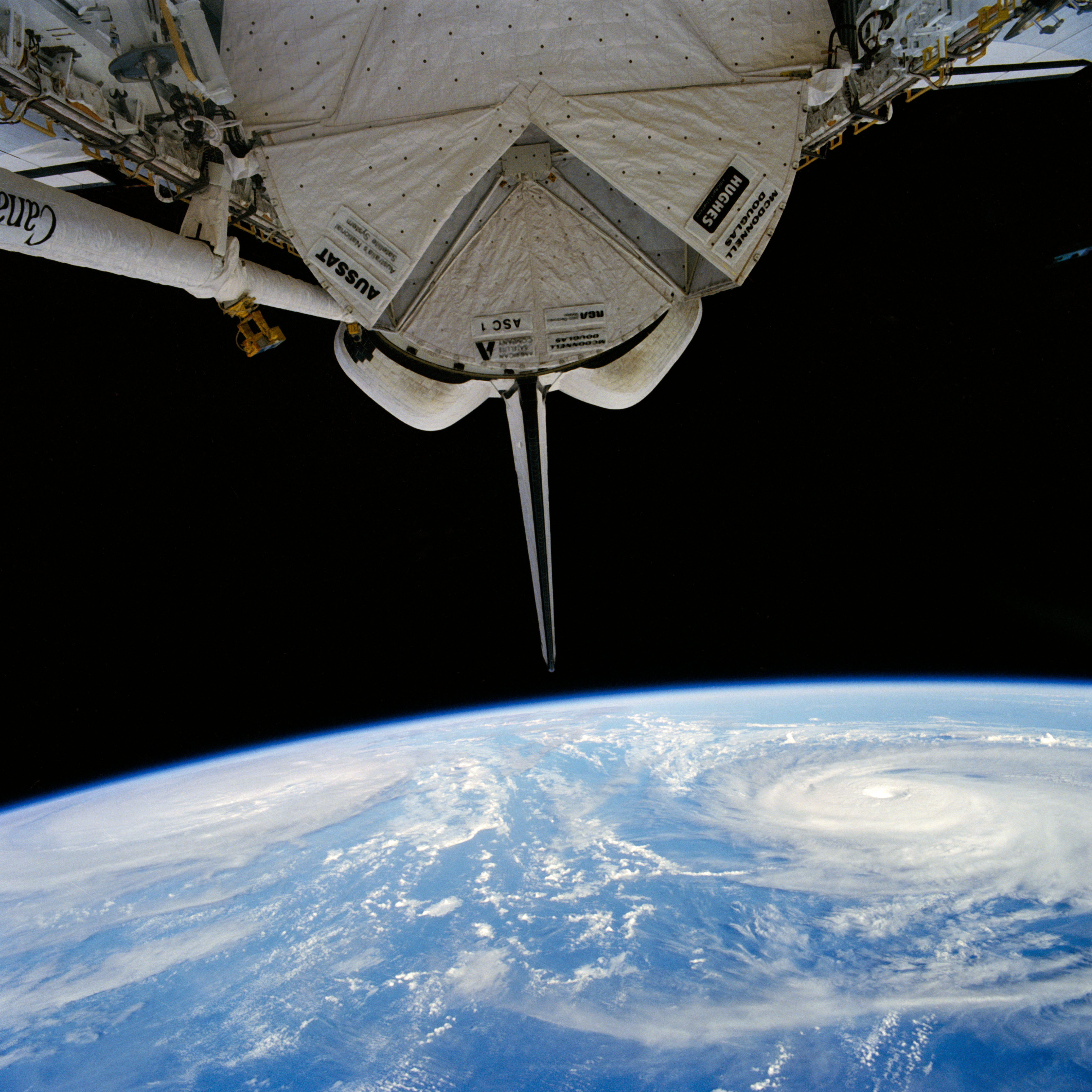
Typhoons Pat and Odessa in the Western Pacific Ocean
1985-08-30 · NASA Image and Video Library
STS-65 Earth observation of Hurricane Emilia in Eastern Pacific Ocean
1994-07-18 · NASA Image and Video Library
Fish-eye view of Hurricane Kenneth in the Pacific Ocean
1993-09-13 · NASA Image and Video Library

Tropical Storm Sam, Eastern Indian Ocean
1990-01-20 · NASA Image and Video Library
STS-65 Earth observation of Hurricane Emilia taken aboard Columbia, OV-102
1994-07-23 · NASA Image and Video Library
Thunderstorms over the Pacific Ocean as seen from STS-64
1994-09-18 · NASA Image and Video Library