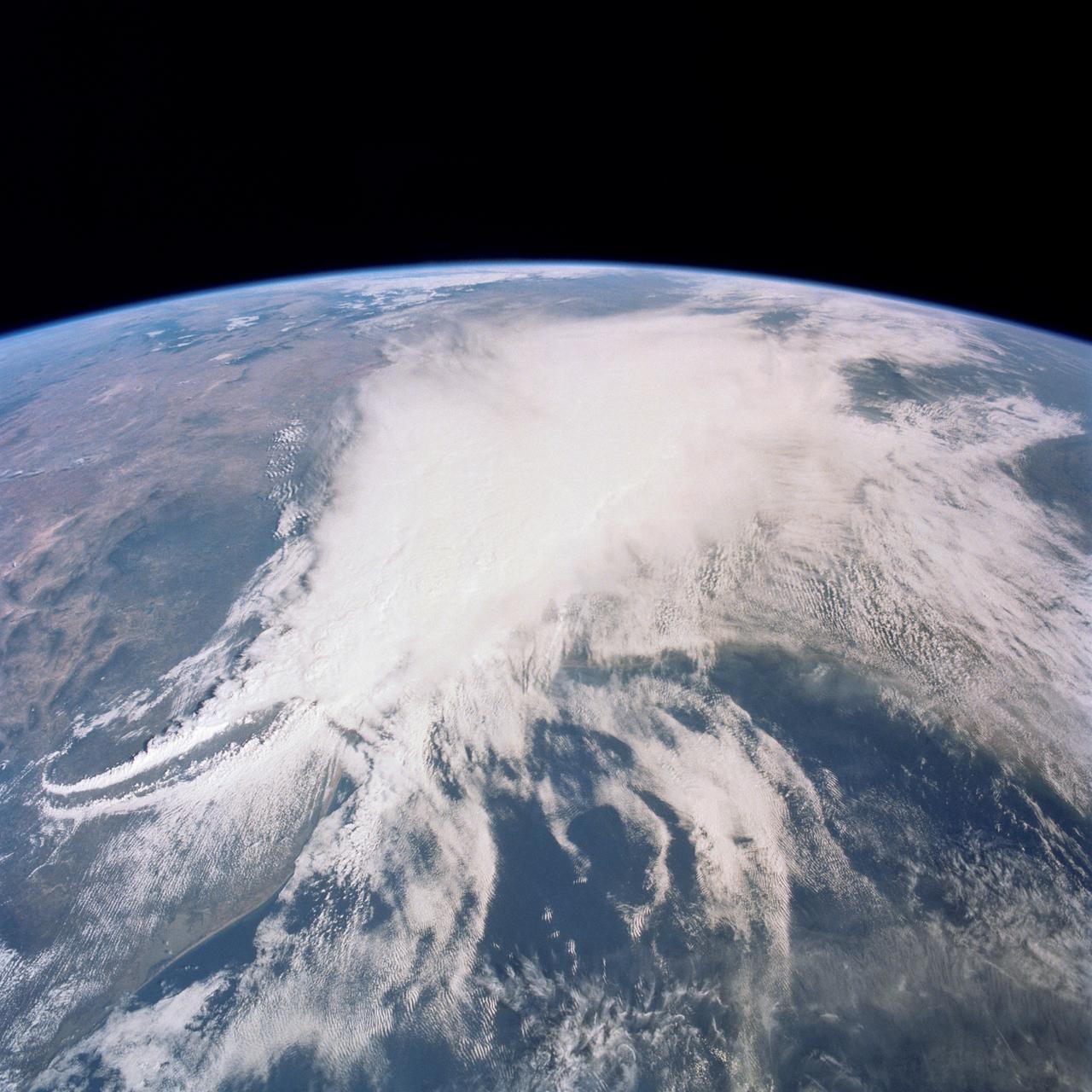
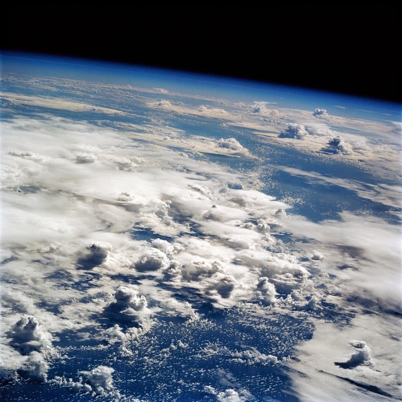
Thunderstorm, Texas Gulf Coast, USA
This thunderstorm along the Texas Gulf Coast (29.0N, 95.0W), USA is seen as the trailing edge of a large cloud mass formed along the leading edge of a spring frontal system stretching northwest to southeast across the Texas Gulf Coast. This system brought extensive severe weather and flooding to parts of Texas and surrounding states. Muddy water discharging from coastal streams can be seen in the shallow Gulf of Mexico as far south as Lavaca Bay.
- Date
- 1990-04-29
- Collection
- JSC
- Archive
- NASA Image and Video Library
- Type
- photograph
Public domainsafest
Reason: a NASA work: not copyrighted in the United States.
Read from: NASA media usage guidelines: NASA material is not copyrighted in the US unless noted; no third-party credit or mark found.
Credit line
"Thunderstorm, Texas Gulf Coast, USA" (1990-04-29). NASA/JSC. Public domain. https://images.nasa.gov/details/s31-77-078Need photos for a whole script? Add Find Any Photo to Claude and ask for this one by its id: 14428.
More like this
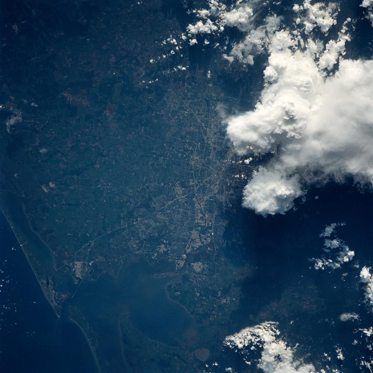
Houston/Galveston, Texas, USA
1991-09-18 · NASA Image and Video Library
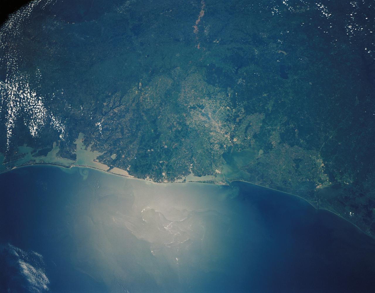
Upper Texas Gulf Coast, USA
1989-05-08 · NASA Image and Video Library
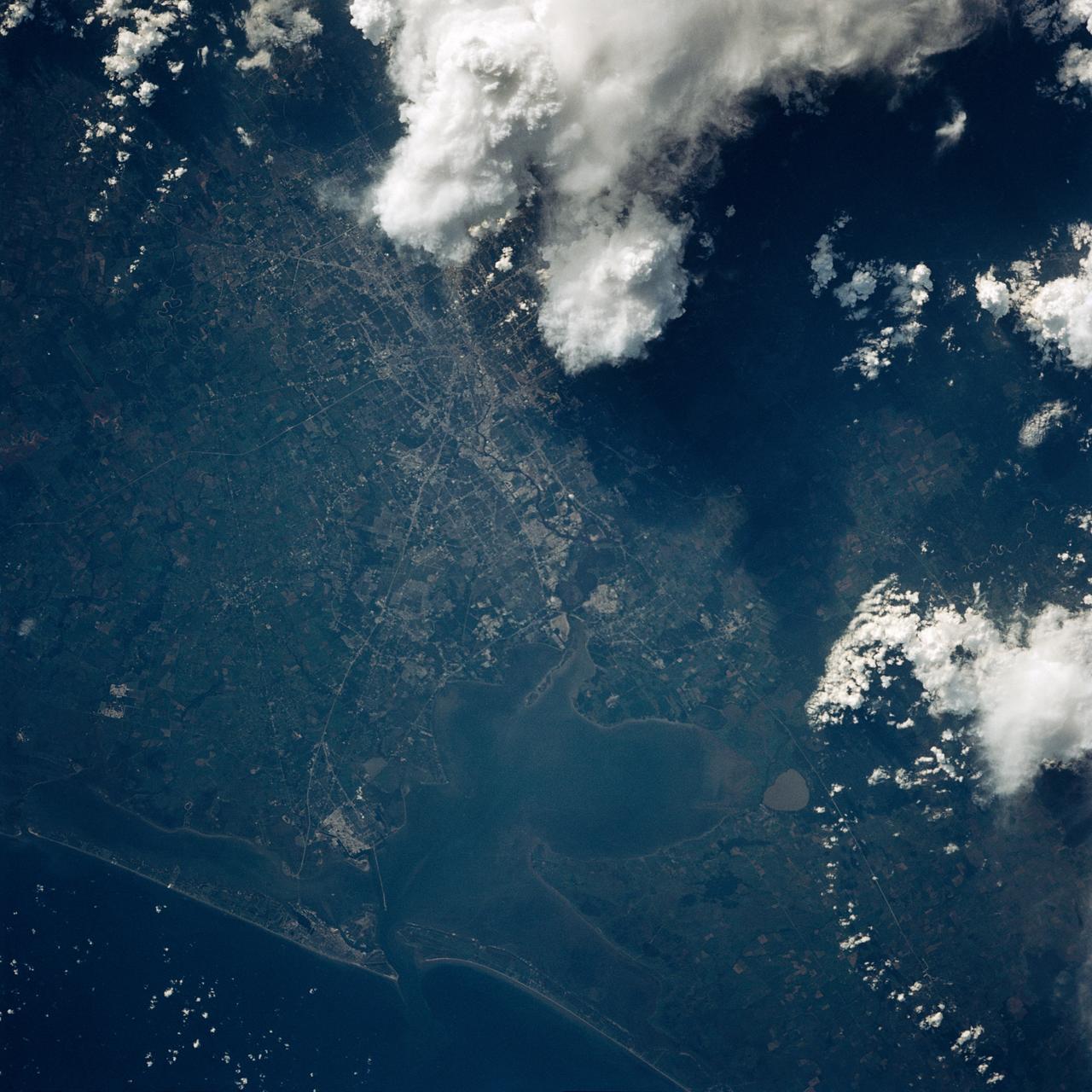
Houston, TX, USA
1991-09-18 · NASA Image and Video Library
Houston/Galveston, Texas, USA
1991-05-06 · NASA Image and Video Library
Houston, Galveston Bay, Texas, USA
1985-10-07 · NASA Image and Video Library
Color Infrared view of Houston, TX, USA
1991-09-18 · NASA Image and Video Library
Thunderstorms, Indian Ocean
1990-12-10 · NASA Image and Video Library
Thunderstorms over the Pacific Ocean as seen from STS-64
1994-09-18 · NASA Image and Video Library