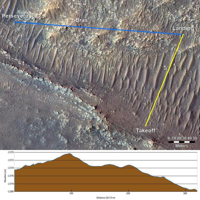
Topography Between Mars Helicopter and Rover for Flight 17
This annotated image from NASA's Mars Reconnaissance Orbiter (MRO), and the topographic map below it, provide a look at the altitude of surface features standing between the agency's Perseverance Mars rover and Ingenuity helicopter at the conclusion of the rotorcraft's 17th flight at Mars on Dec. 5, 2021. In the image of the surface – taken by MRO's High Resolution Science Experiment (HiRISE) camera – Ingenuity's flight path is depicted in yellow. Perseverance's location is indicated in the upper left, with the blue line delineating its line of sight to the helicopter's landing spot. The location of the tallest point on Mars' surface between rover and helicopter during its final descent is the hill near the center of image that the Perseverance science team has nicknamed "Bras," after a city in France. The topographic map below the orbital image provides the elevation of surface features along the blue line, or Perseverance's line of sight to helicopter. The height measurements to the left of the map are derived by comparing local elevations to the areoid (a model for an equipotential surface of Mars, analogous to "sea level" on Earth). The Ingenuity team believes the 13-foot (4-me
- Date
- 2021-12-07
- Photographer / author
- NASA/JPL-Caltech
- Collection
- JPL
- Archive
- NASA Image and Video Library
- Type
- photograph
Public domainsafest
Reason: a NASA work: not copyrighted in the United States.
Read from: NASA media usage guidelines: NASA material is not copyrighted in the US unless noted; no third-party credit or mark found.
Credit line
"Topography Between Mars Helicopter and Rover for Flight 17" (2021-12-07). NASA/JPL/NASA/JPL-Caltech. Public domain. https://images.nasa.gov/details/PIA24980Need photos for a whole script? Add Find Any Photo to Claude and ask for this one by its id: 22918.
More like this
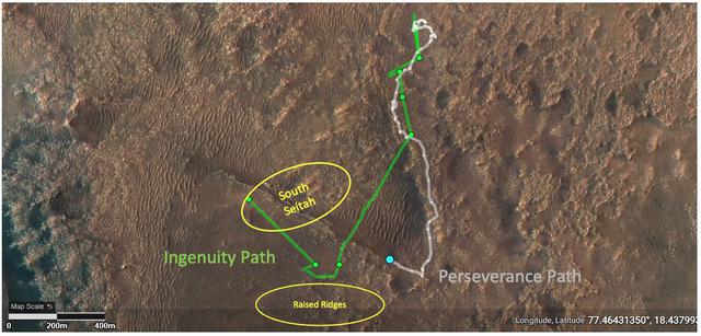
Ground Tracks of NASA's Perseverance and Ingenuity
2021-08-16 · NASA Image and Video Library
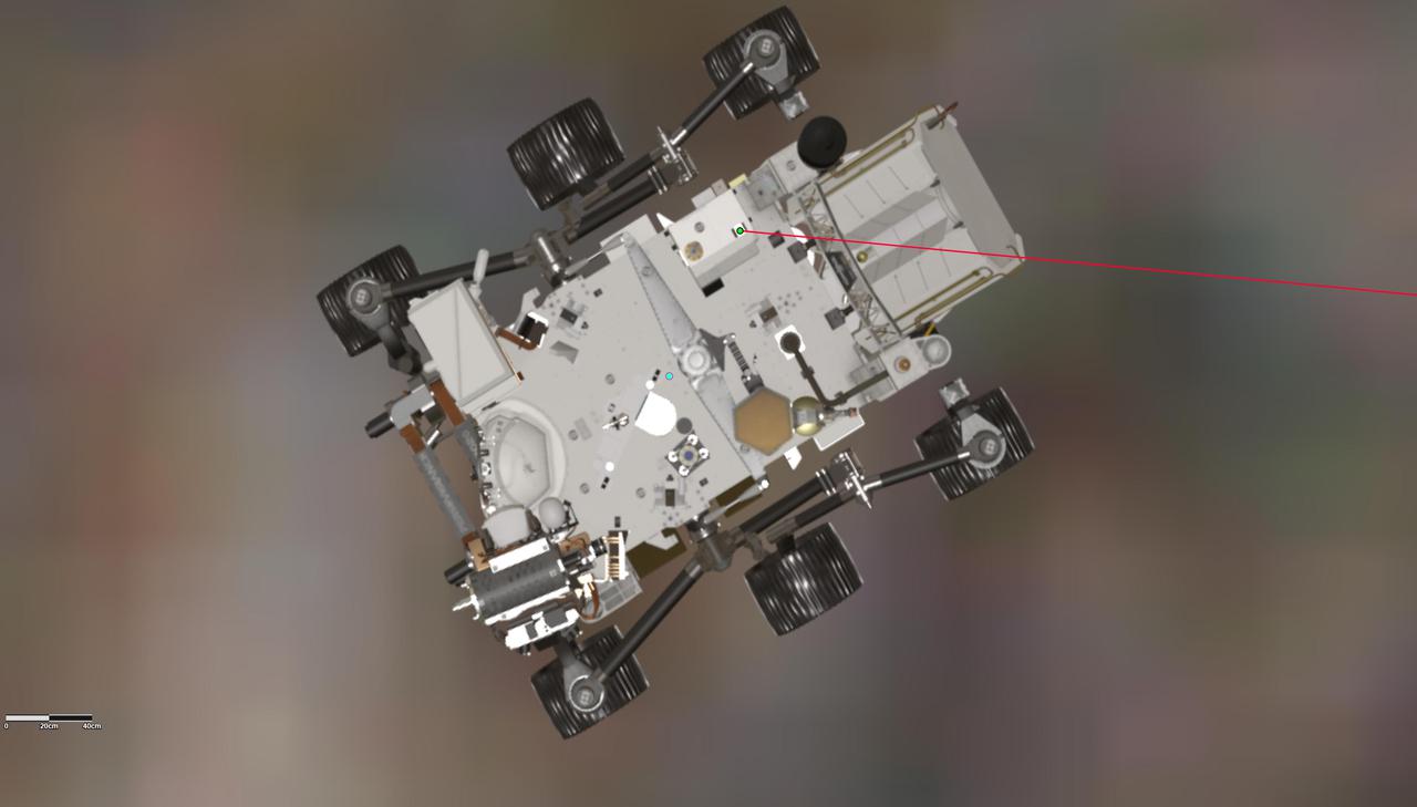
Orientation of Mars Helicopter Base Station Antenna for Flight 17
2021-12-07 · NASA Image and Video Library
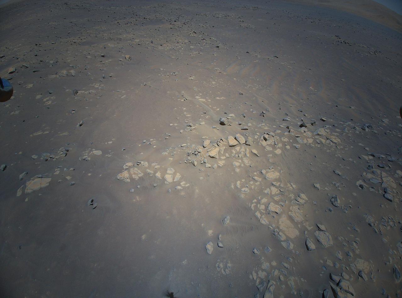
Aerial View of Jezero Crater's Raised Ridges
2021-08-04 · NASA Image and Video Library
Mars Mound from Ingenuity Helicopter's Perspective
2021-09-17 · NASA Image and Video Library
Close-Up of Perseverance Descent Stage on the Martian Surface
2021-02-22 · NASA Image and Video Library
Perseverance's Route to the Delta
2022-03-18 · NASA Image and Video Library
Perseverance and Mars 2020 Spacecraft Components on the Surface
2021-02-22 · NASA Image and Video Library
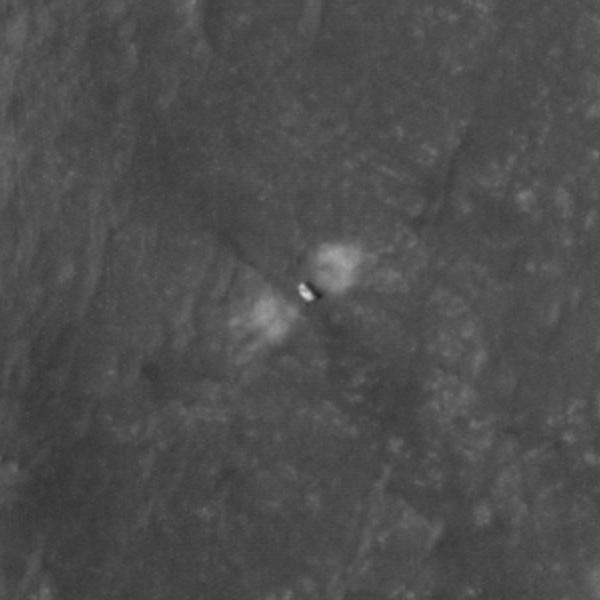
Close-Up of Perseverance on the Martian Surface
2021-02-22 · NASA Image and Video Library