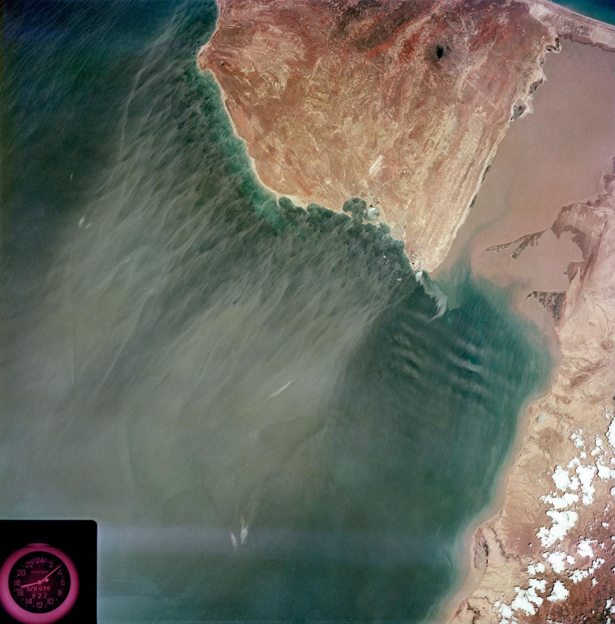
View - Caribbean Coast - Venezuela
S73-35079 (July-September 1973) --- A near vertical view of the Caribbean coast of Venezuela is seen in this Skylab 3 Earth Resources Experiment Package S190-B (five-inch Earth terrain camera) photograph taken from the Skylab space station in Earth orbit. The large body of water is the Golfo de Venezuela; and the major land mass is the Peninsula de Paraguana. The view is looking northward from the mouth of the Golfete de Coro and Punta Cardon to Punta Macolla. The peninsula is connected to the Venezuelan mainland by the narrow strip of land in the most easterly corner of the picture. The dry, arid climate on the peninsula is indicated by sparse vegetation and the abundance of sand dunes. The highest point is about 2,700 feet above the sea and is the conspicuous black spot. Old raised shoreline features appear as streaks parallel to the Golfete de Coro. Sand dunes and stream erosion have modified these features. Water of the Golfete de Coro is red from the high sediment content. The streaks in the water off the peninsula is apparently an effect of wind which is blowing sand and water offshore. The EREP investigator Dr. Jose Antonio Galavis, of the Ministerio de Mines e Hidrocarburos
- Date
- 1973-08-15
- Collection
- JSC
- Archive
- NASA Image and Video Library
- Type
- photograph
Public domainsafest
Reason: a NASA work: not copyrighted in the United States.
Read from: NASA media usage guidelines: NASA material is not copyrighted in the US unless noted; no third-party credit or mark found.
Credit line
"View - Caribbean Coast - Venezuela" (1973-08-15). NASA/JSC. Public domain. https://images.nasa.gov/details/s73-35079Need photos for a whole script? Add Find Any Photo to Claude and ask for this one by its id: 13745.
More like this
Northwestern Mexico as photographed from Skylab
1975-01-27 · NASA Image and Video Library
View of western portion of the Republic of Panama on Isthmus of Panama
1973-08-30 · NASA Image and Video Library
Northern half of Mauritania's Atlantic Coast from Skylab
1973-12-28 · NASA Image and Video Library
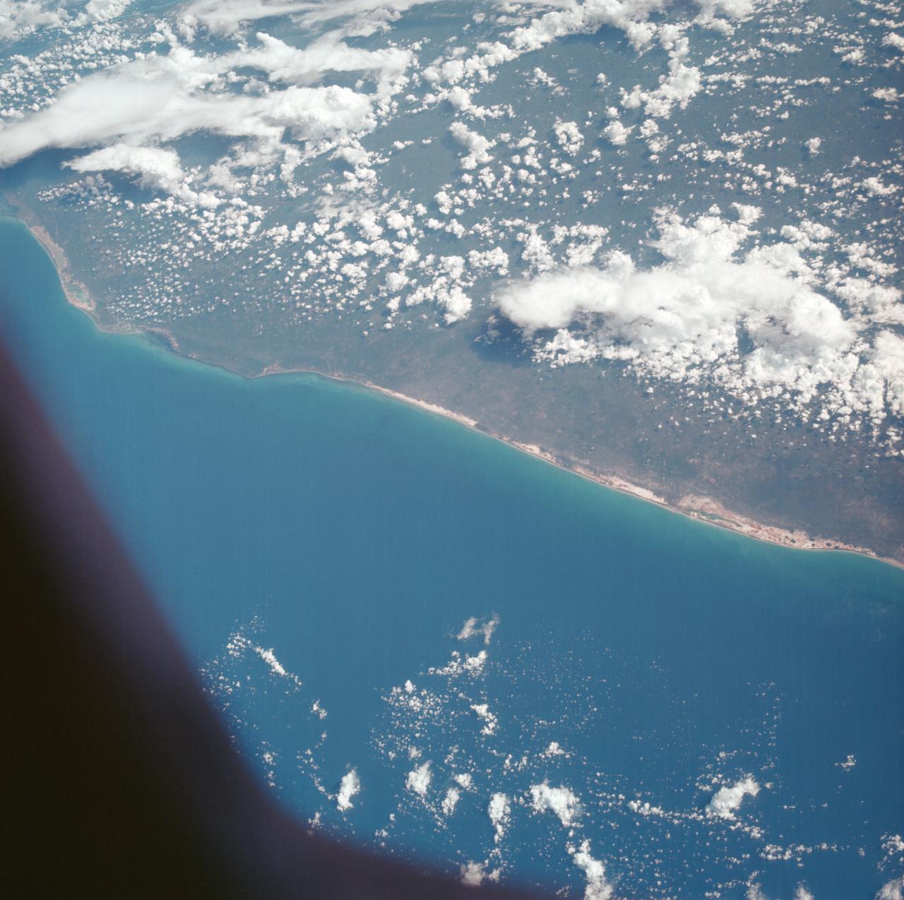
Gulf of Mexico, coast of Yucatan, as seen from the Apollo 7 spacecraft
1968-10-13 · NASA Image and Video Library
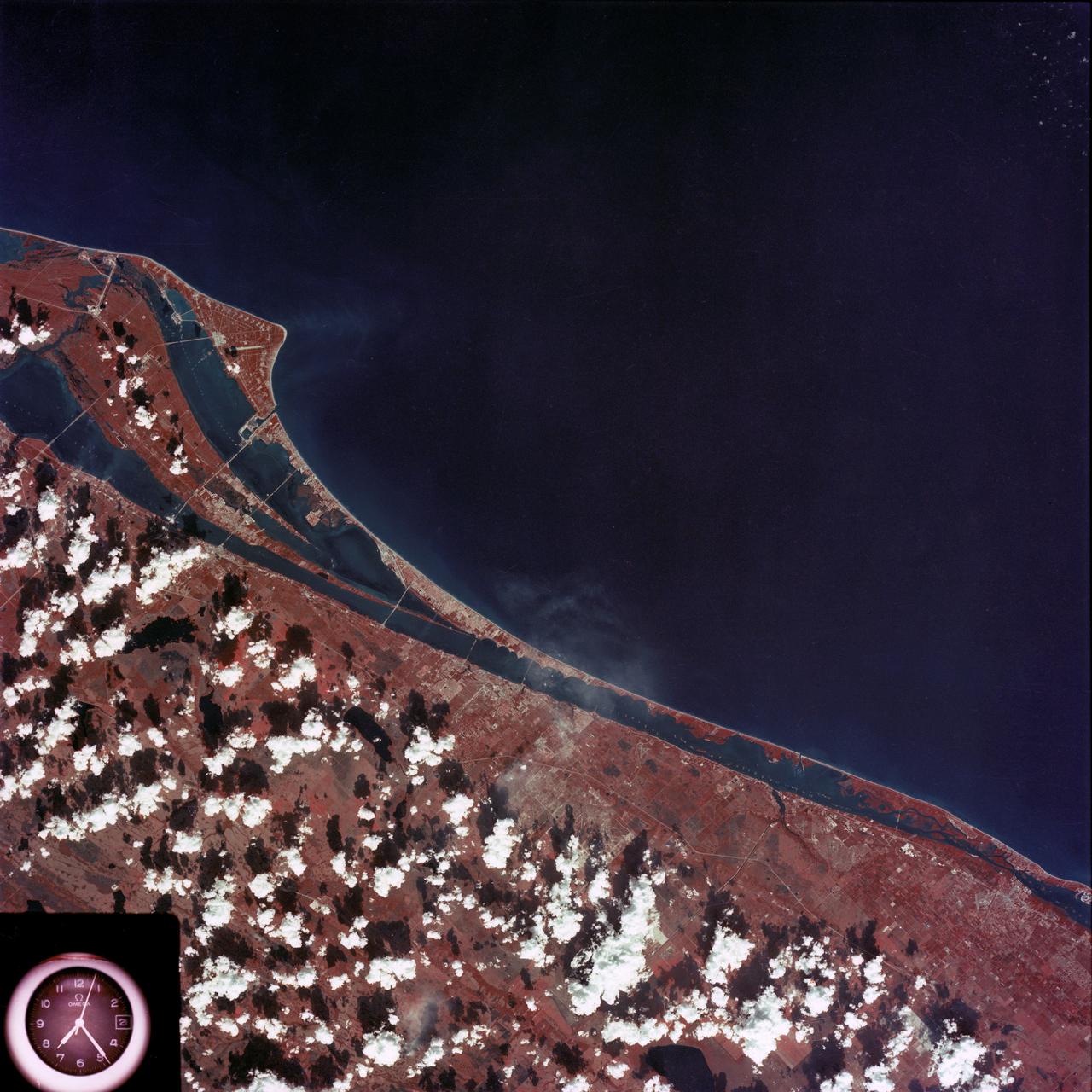
Kennedy Space Center and the Florida Atlantic coast area
1974-02-01 · NASA Image and Video Library

Skylab (SL)-3 - East Africa View - Ravaged by Drought
1973-08-15 · NASA Image and Video Library
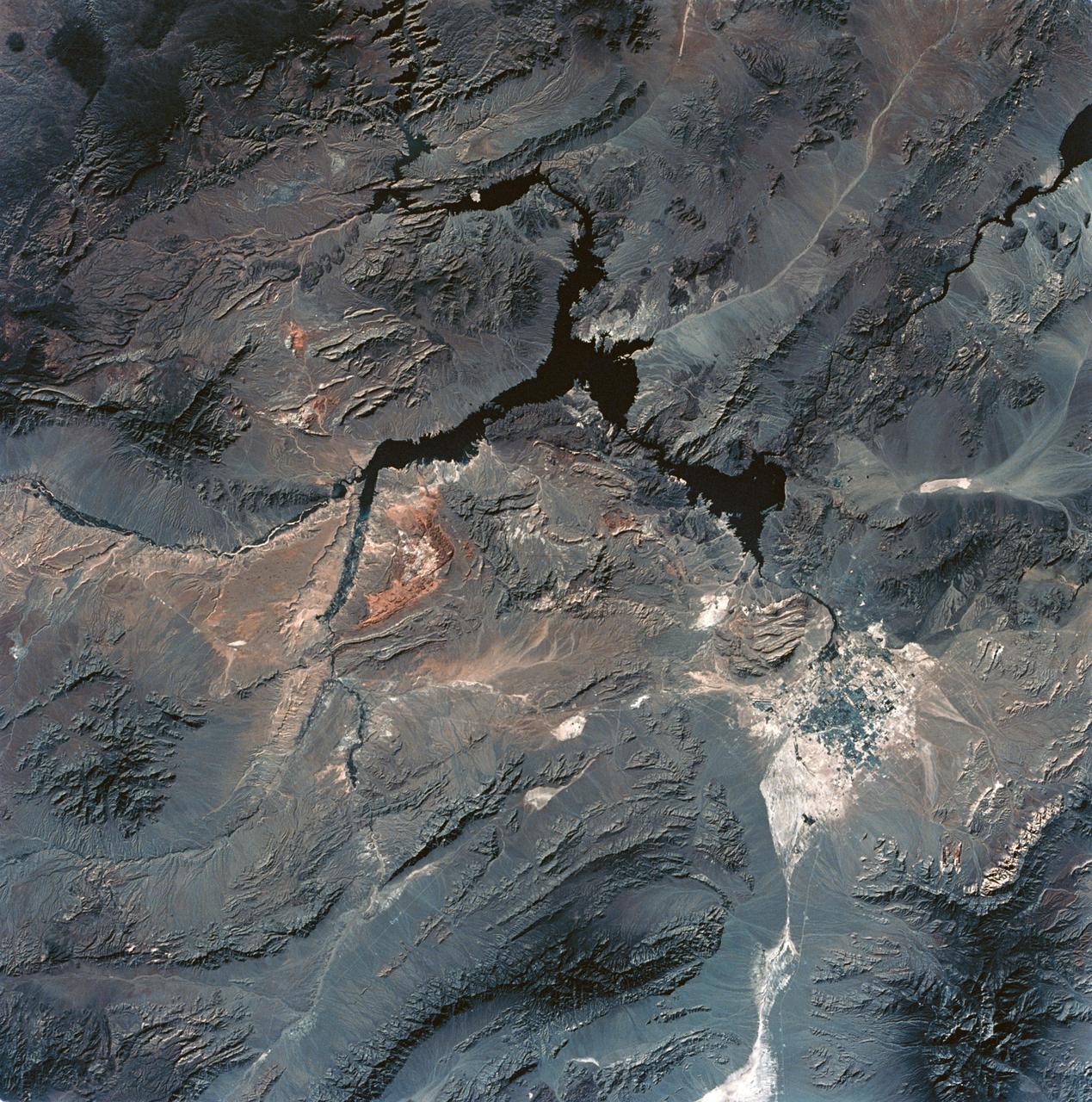
View of Lake Mead and Las Vegas, Nevada area from Sklyab
1973-08-01 · NASA Image and Video Library
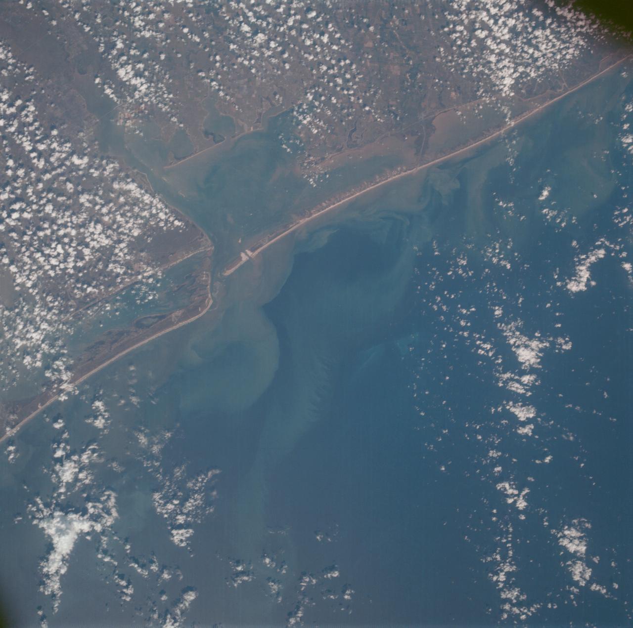
Matagorda Bay, Gulf Coast of Texas as seen from the Apollo 7 spacecraft
1968-10-15 · NASA Image and Video Library