
View of the Earth seen by the Apollo 17 crew traveling toward the moon
AS17-148-22727 (7 Dec. 1972) --- This view of Earth was seen by the Apollo 17 crew as they traveled toward the moon on their NASA lunar landing mission. This outstanding trans-lunar coast photograph extends from the Mediterranean Sea area to the Antarctica south polar ice cap. This is the first time the Apollo trajectory made it possible to photograph the south polar ice cap. Note the heavy cloud cover in the Southern Hemisphere. Almost the entire coastline of Africa is clearly visible. The Arabian Peninsula can be seen at the northeastern edge of Africa. The large island off the coast of Africa is the Malagasy Republic. The Asian mainland is on the horizon toward the northeast. The Apollo 17 crew consisted of astronauts Eugene A. Cernan, mission commander; Ronald E. Evans, command module pilot; and Harrison H. Schmitt, lunar module pilot. While astronauts Cernan and Schmitt descended in the Lunar Module (LM) to explore the moon, astronaut Evans remained with the Command and Service Modules (CSM) in lunar orbit.
- Date
- 1972-12-07
- Collection
- JSC
- Archive
- NASA Image and Video Library
- Type
- photograph
Public domainsafest
Reason: a NASA work: not copyrighted in the United States.
Read from: NASA media usage guidelines: NASA material is not copyrighted in the US unless noted; no third-party credit or mark found.
Credit line
"View of the Earth seen by the Apollo 17 crew traveling toward the moon" (1972-12-07). NASA/JSC. Public domain. https://images.nasa.gov/details/as17-148-22727Need photos for a whole script? Add Find Any Photo to Claude and ask for this one by its id: 15047.
More like this
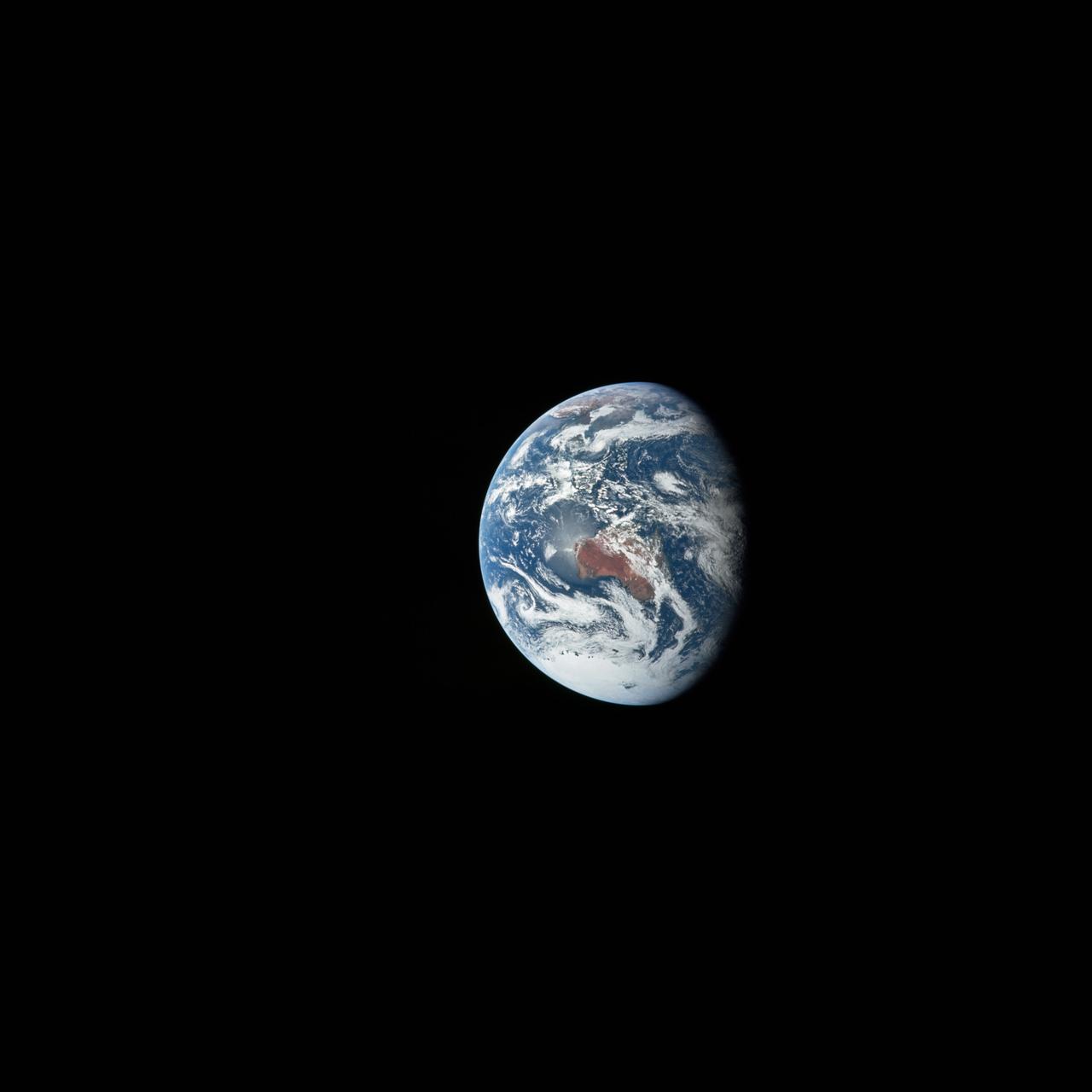
View of the Earth seen by the Apollo 17 crew traveling toward the moon
1972-12-07 · NASA Image and Video Library
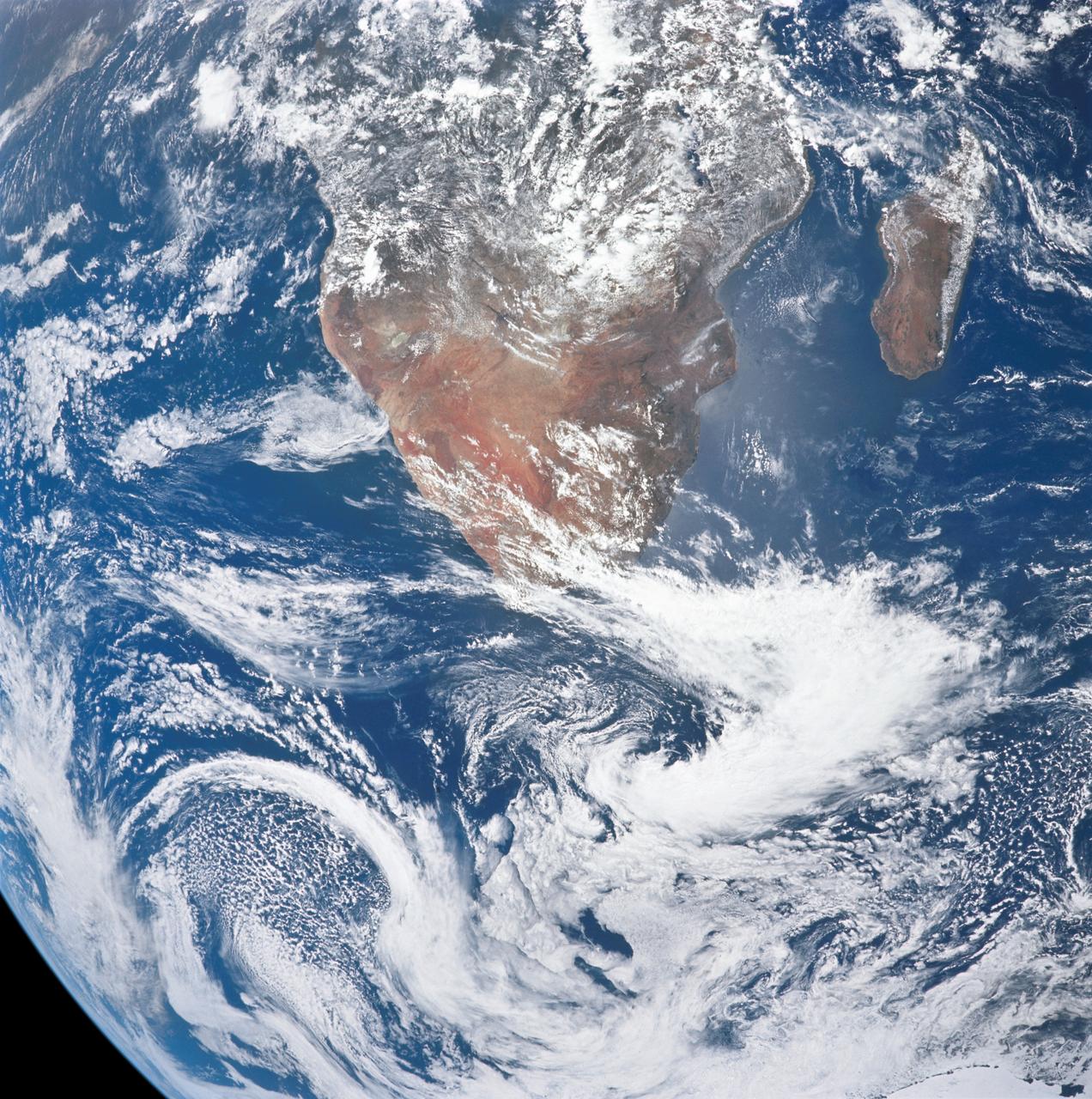
View of Africa and Madagascar from the Apollo 17 spacecraft
1972-12-09 · NASA Image and Video Library
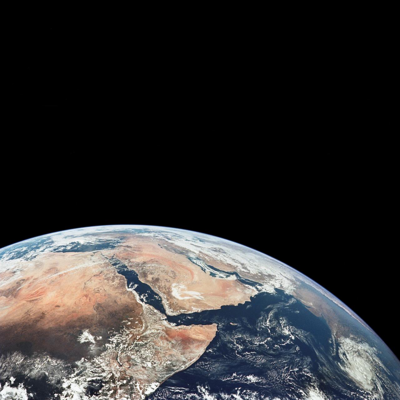
View of Saudi Arabia and north eastern Africa from the Apollo 17 spacecraft
1972-12-09 · NASA Image and Video Library
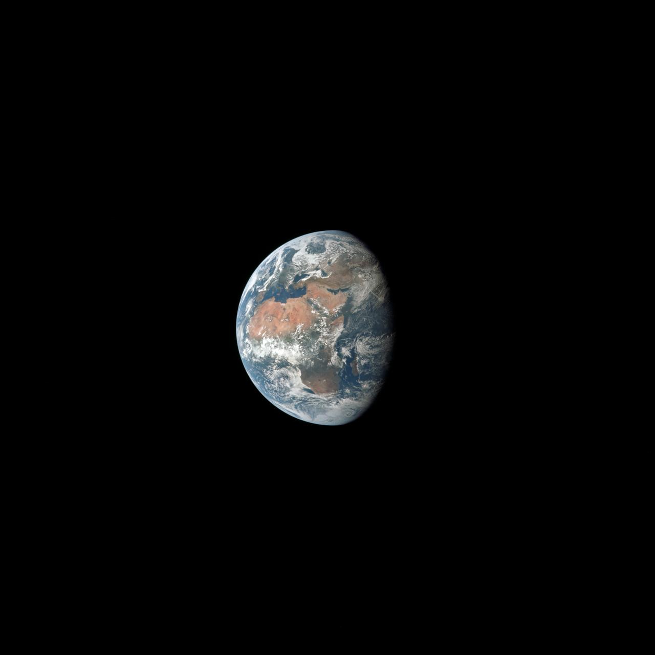
View of Earth, showing Africa, Europe and Asia taken by Apollo 11 crewmember
1969-07-16 · NASA Image and Video Library
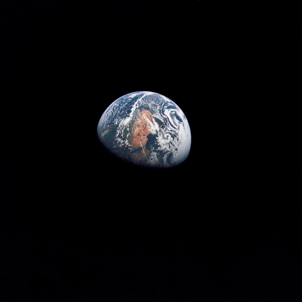
Apollo 10 view of the Earth
1969-05-18 · NASA Image and Video Library

Atlantic Ocean, Antarctica as seen from the Apollo 4 unmanned spacecraft
1967-11-09 · NASA Image and Video Library
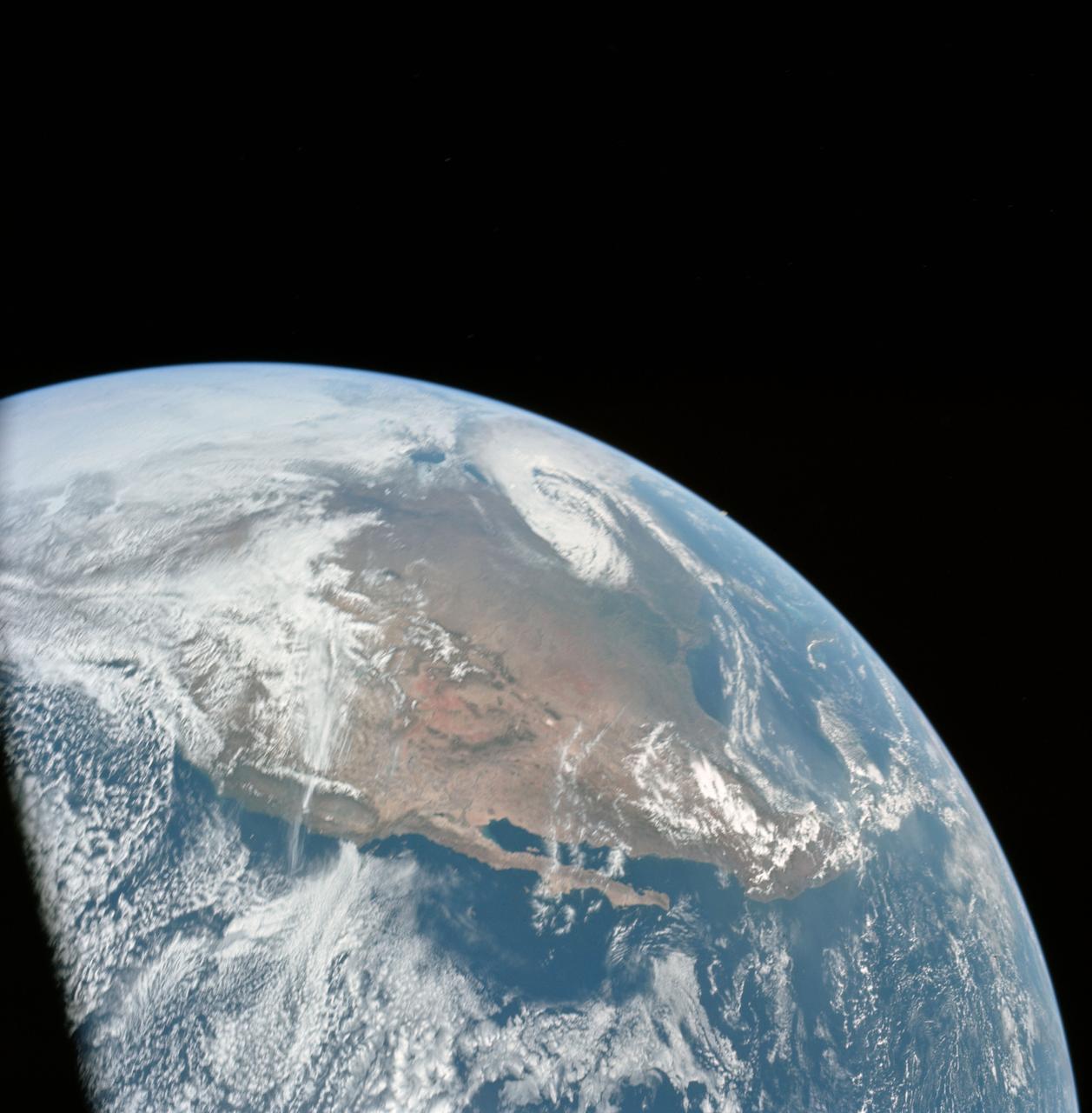
Apollo 16 view of the earth from translunar injection
1972-04-16 · NASA Image and Video Library

Brazil, Atlantic Ocean, Africa & Antarctica seen from Apollo 4
1967-11-09 · NASA Image and Video Library