
Apollo 9 Mission image - S0-65 Multispectral Photography - Georgia
AS09-26A-3816A (12 March 1969) --- Color infrared photograph of the Atlantic coast of Georgia, Brunswick area, taken on March 12, 1969, by one of the four synchronized cameras of the Apollo 9 Earth Resources Survey SO65 Experiment. At 11:35 a.m. (EST) when this picture was made the Apollo 9 spacecraft was at an altitude of 102 nautical miles, and the sun elevation was 51 degrees above the horizon. The location of the point on Earth's surface at which the four-camera combination was aimed 31 degrees 16 minutes north latitude, and 81 degrees 17 minutes west longitude. The other three cameras used: (B) black and white film with a red filter; (C) black and white infrared film; and (D) black and white film with a green filter.
- Date
- 2009-02-19
- Collection
- JSC
- Archive
- NASA Image and Video Library
- Type
- photograph
Public domainsafest
Reason: a NASA work: not copyrighted in the United States.
Read from: NASA media usage guidelines: NASA material is not copyrighted in the US unless noted; no third-party credit or mark found.
Credit line
"Apollo 9 Mission image - S0-65 Multispectral Photography - Georgia" (2009-02-19). NASA/JSC. Public domain. https://images.nasa.gov/details/as09-26a-3816aNeed photos for a whole script? Add Find Any Photo to Claude and ask for this one by its id: 8392.
More like this
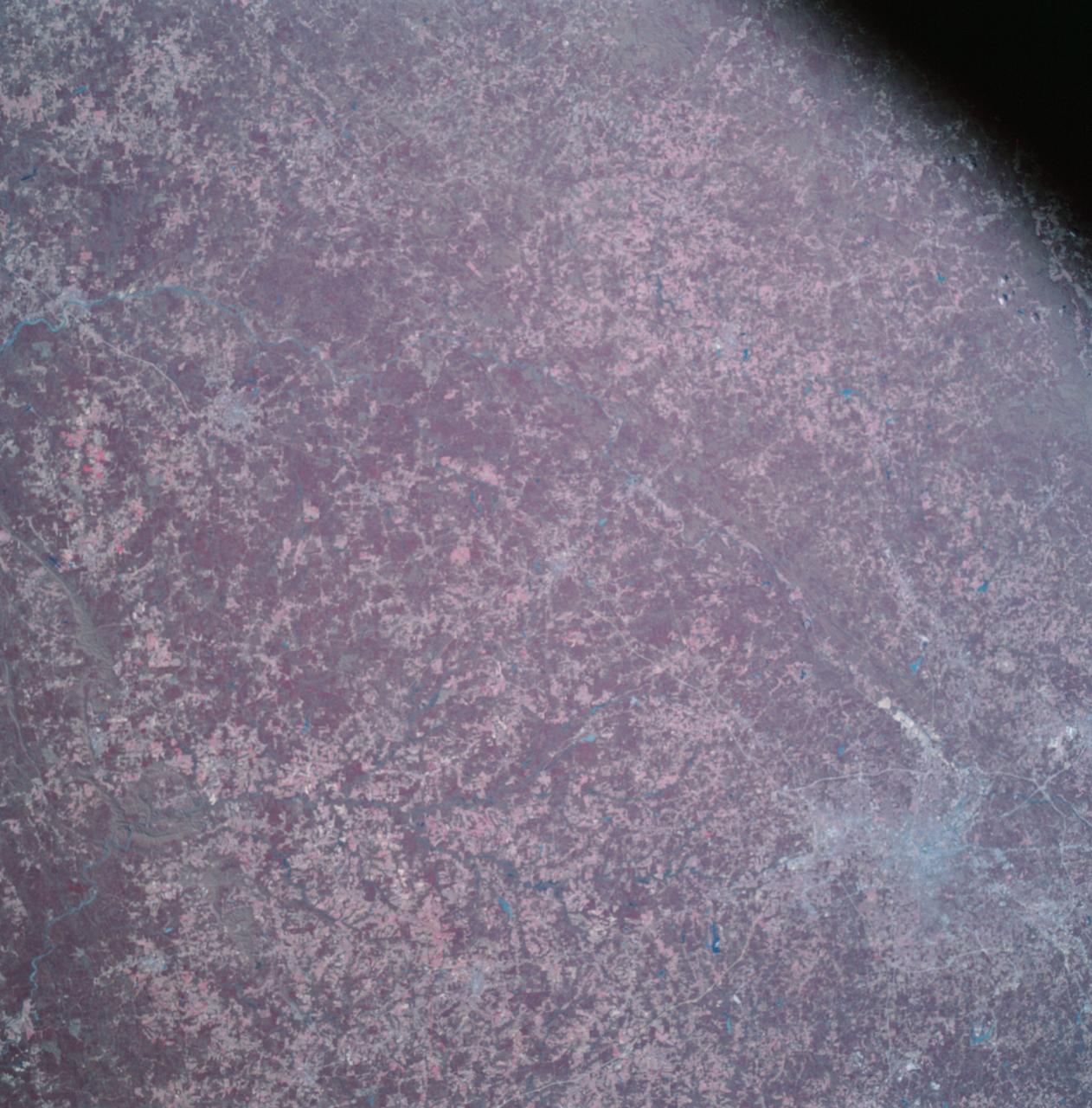
Apollo 9 Mission image - S0-65 Multispectral Photography - Georgia
2009-02-19 · NASA Image and Video Library
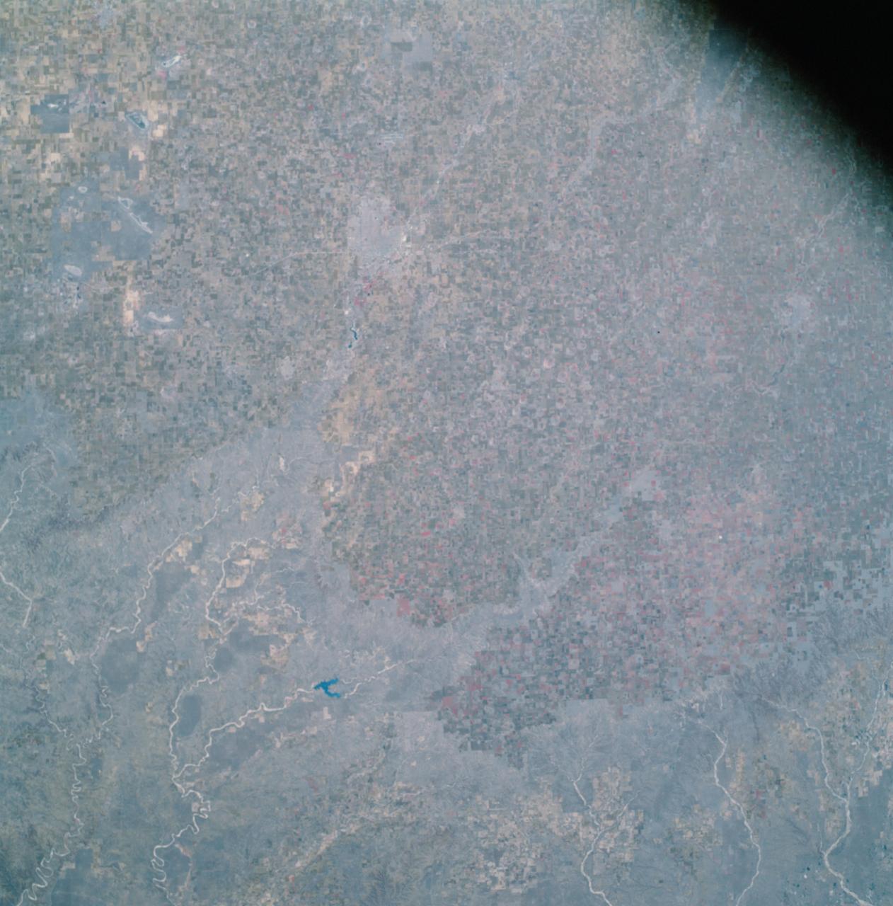
Apollo 9 Mission image - S0-65 Multispectral Photography - Texas
2009-02-19 · NASA Image and Video Library

Apollo 9 Mission image - S0-65 Multispectral Photography - Mexico
2009-02-19 · NASA Image and Video Library
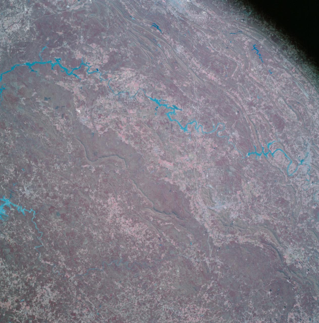
Apollo 9 Mission image - S0-65 Multispectral Photography - Alabama
2009-02-19 · NASA Image and Video Library
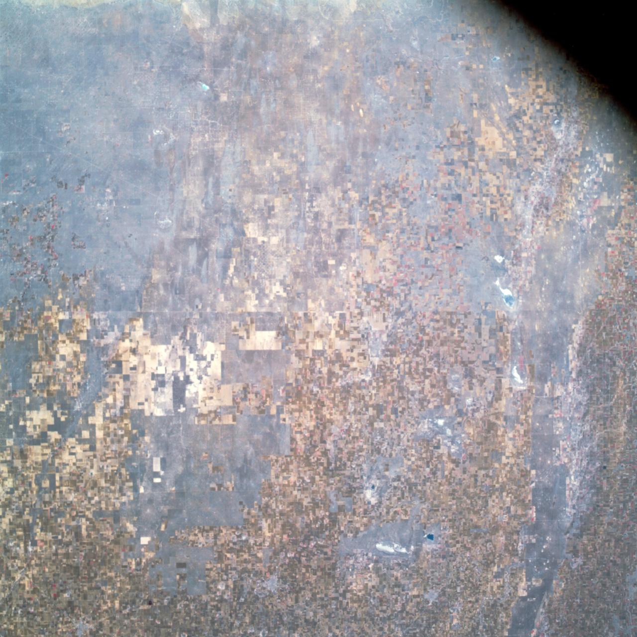
Apollo 9 Mission image - S0-65 Multispectral Photography - New Mexico and Texas
1969-03-12 · NASA Image and Video Library
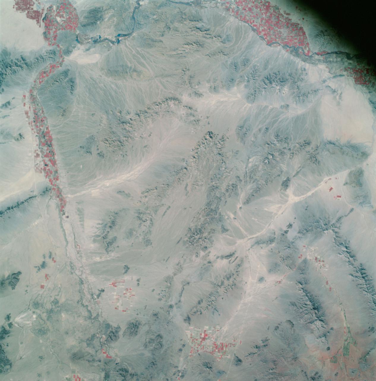
Apollo 9 Mission image - S0-65 Multispectral Photography - California
2009-02-19 · NASA Image and Video Library
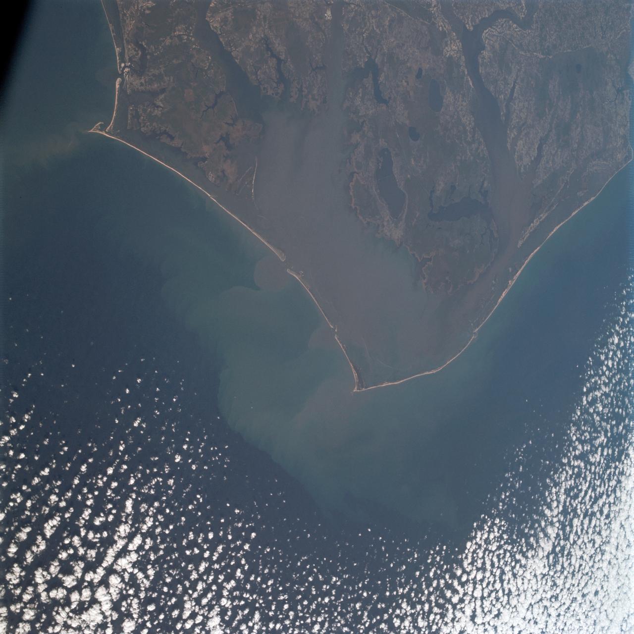
Cape Hatteras, North Carolina area as seen from Apollo 9
1969-03-12 · NASA Image and Video Library
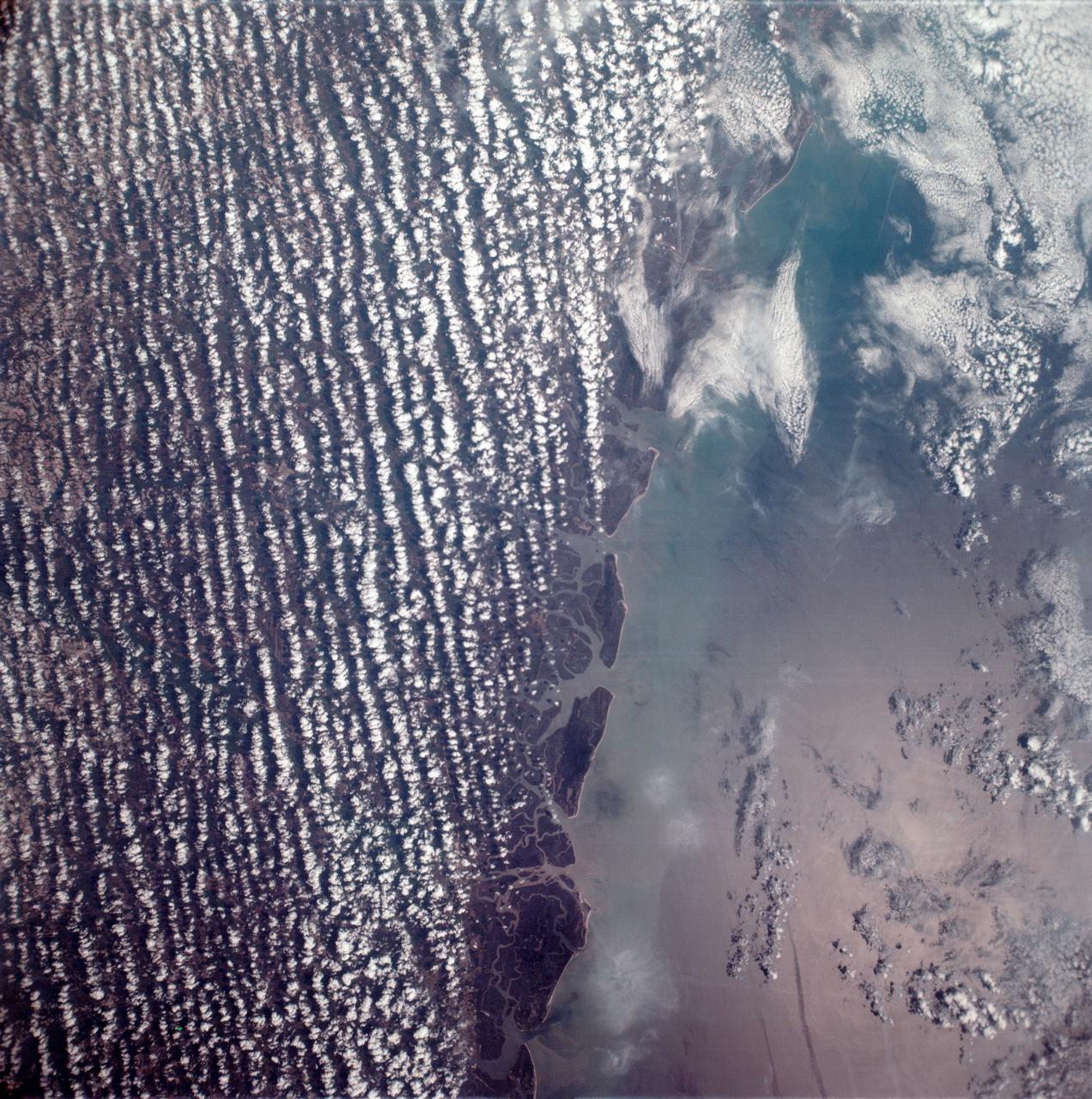
East coast of the United States seen from the Apollo 6 unmanned spacecraft
1968-04-06 · NASA Image and Video Library