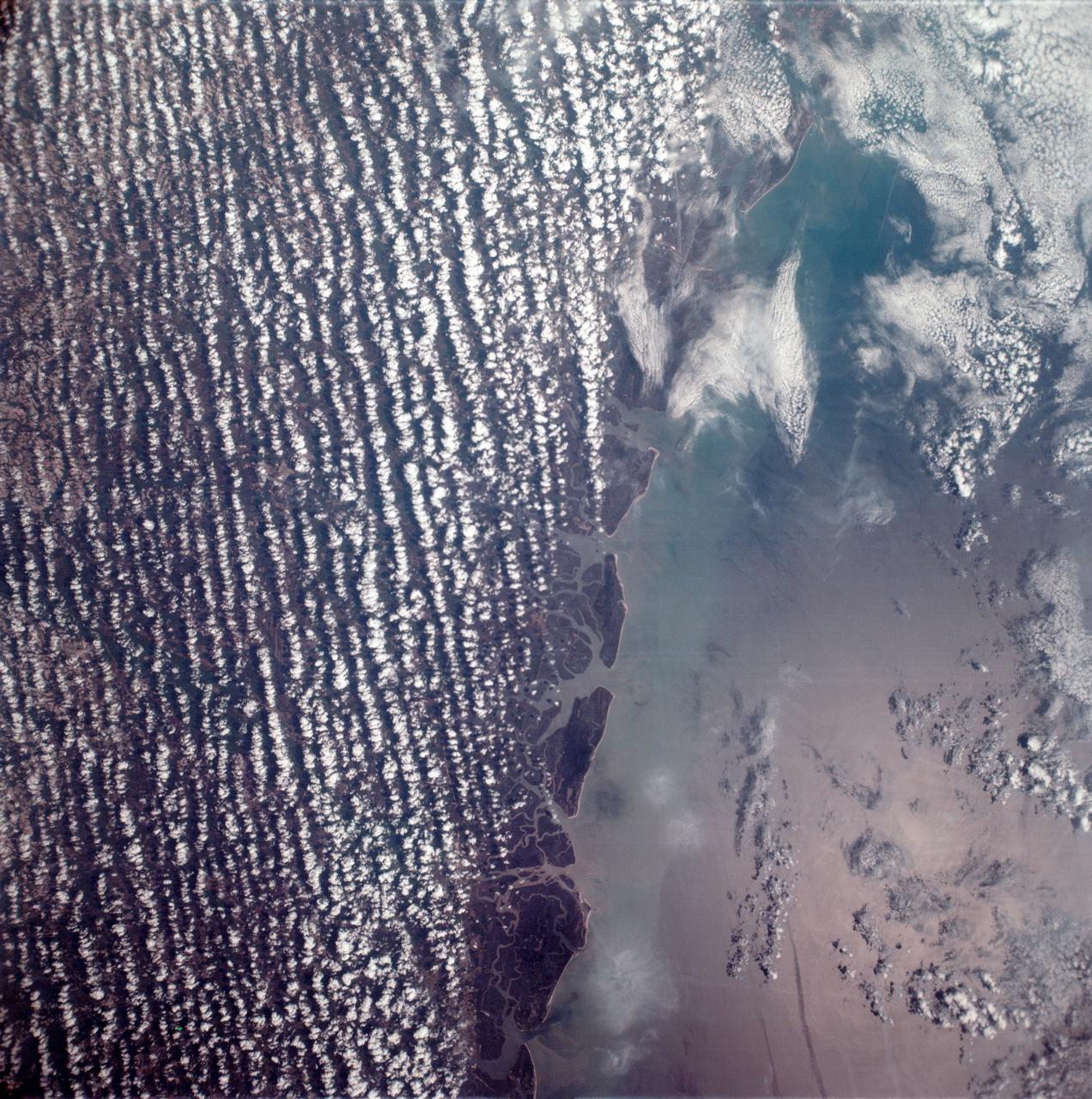
East coast of the United States seen from the Apollo 6 unmanned spacecraft
AS6-02-1485 (4 April 1968) --- View of the east coast of the United States as photographed from the National Aeronautics and Space Administration's unmanned Apollo 6 (Spacecraft 020/Saturn 502) space mission. This photograph was taken during a pass over Georgia, between Savannah and Brunswick. Altitude of the spacecraft was 100 nautical miles. Numerous jet aircraft contrails can be seen over the Atlantic Ocean. Sun glint on the surface of the ocean permits oceanographers to determine conditions of the water. This photograph was taken April 4, 1968, three hours and 14 minutes after liftoff, using Eastman Kodak SO-121 high resolution aerial Ektachrome film (exposure setting f/5.6 at 1/500 second), in a J. A. Maurer model 220G camera.
- Date
- 1968-04-06
- Collection
- JSC
- Archive
- NASA Image and Video Library
- Type
- photograph
Public domainsafest
Reason: a NASA work: not copyrighted in the United States.
Read from: NASA media usage guidelines: NASA material is not copyrighted in the US unless noted; no third-party credit or mark found.
Credit line
"East coast of the United States seen from the Apollo 6 unmanned spacecraft" (1968-04-06). NASA/JSC. Public domain. https://images.nasa.gov/details/as06-02-1485Need photos for a whole script? Add Find Any Photo to Claude and ask for this one by its id: 15517.
More like this

Apollo 9 Mission image - S0-65 Multispectral Photography - Georgia
2009-02-19 · NASA Image and Video Library
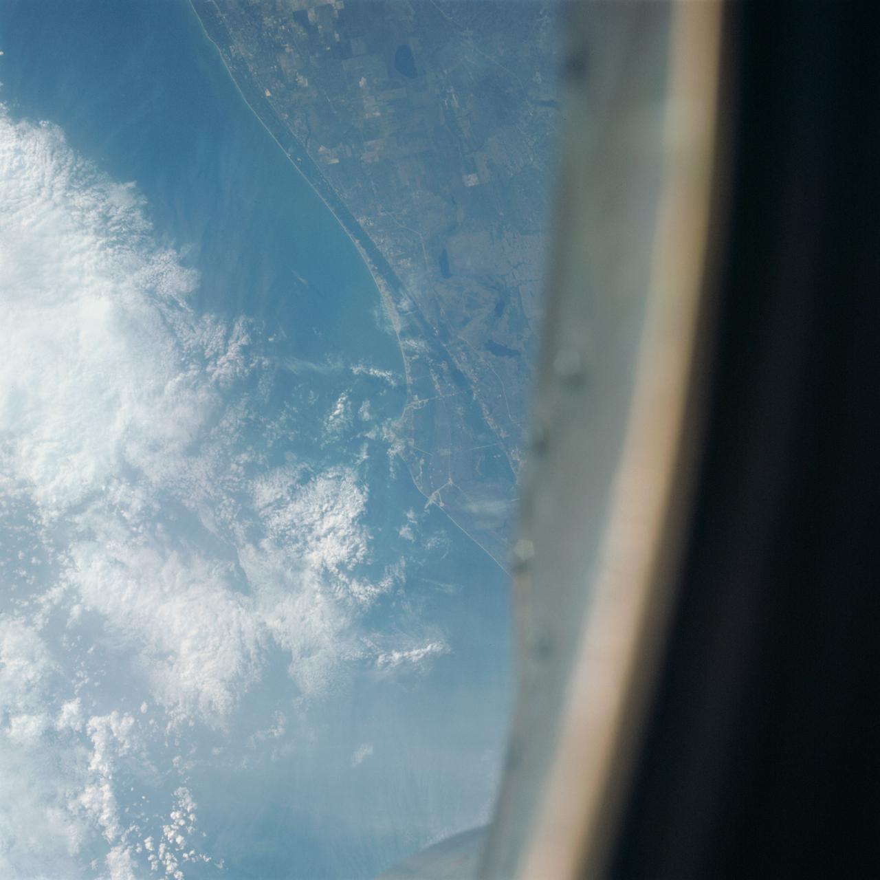
Kennedy Space Center area as seen from Gemini 7 during Gemini 6 abort
1965-12-12 · NASA Image and Video Library
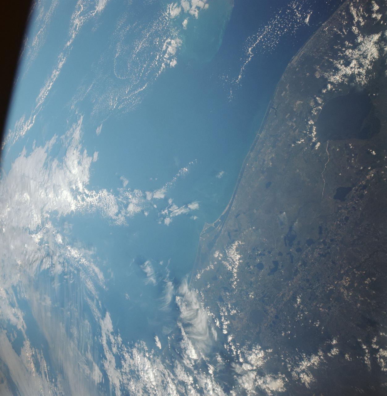
GT-12 - EARTH SKY - ORLANDO AREA
1966-11-12 · NASA Image and Video Library
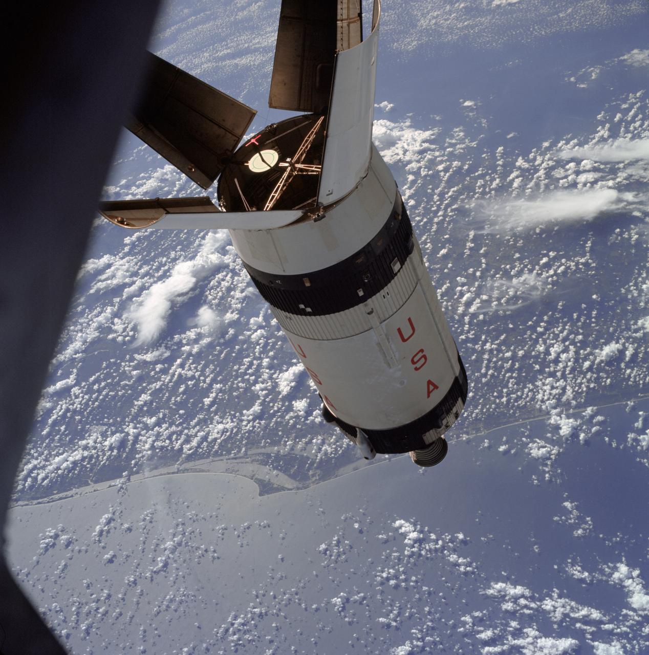
Apollo 7/S-IVB Rendezvous in space
1968-10-11 · NASA Image and Video Library
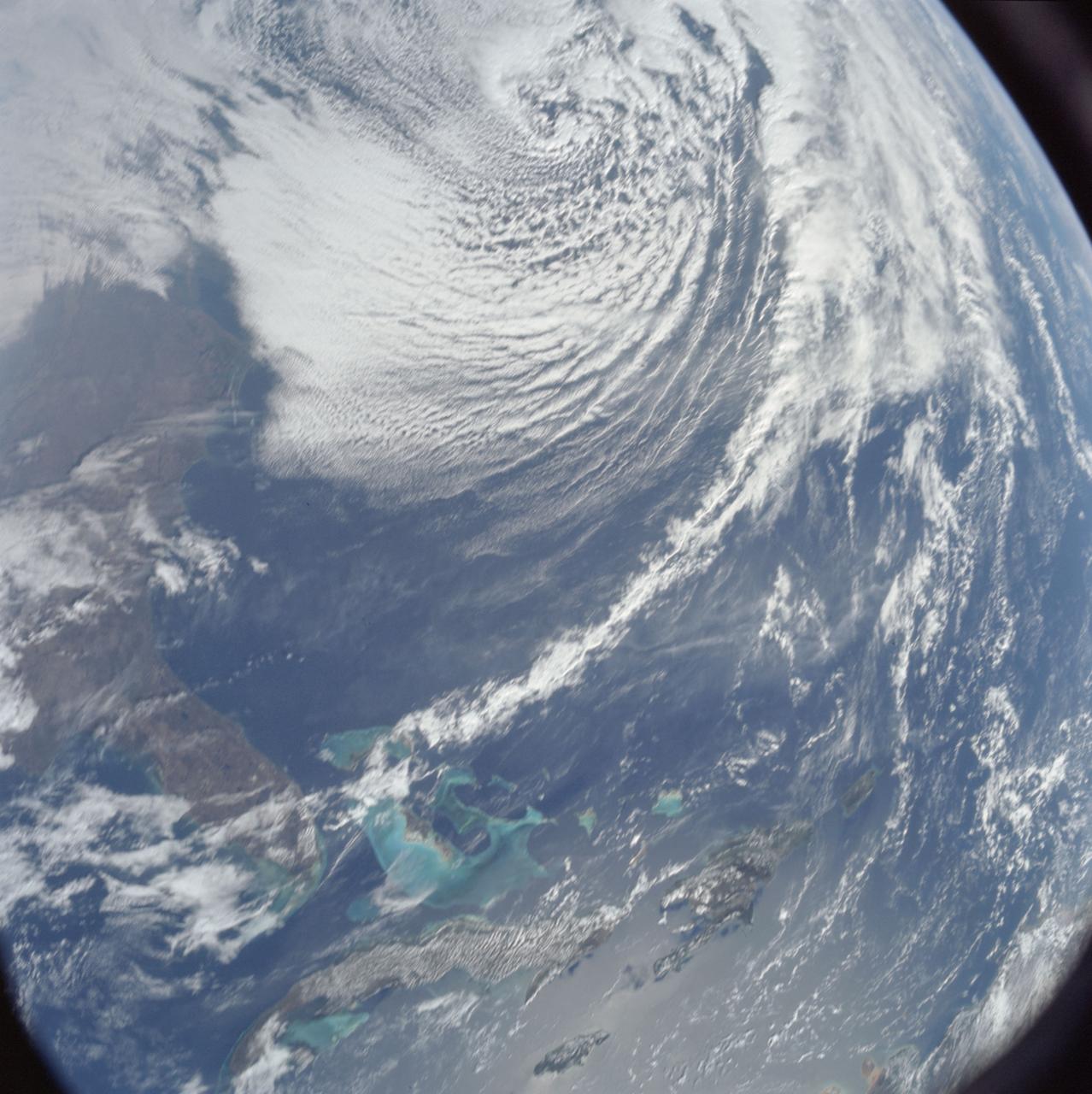
Southeastern United States and Caribbean Sea from Apollo 8 spacecraft
1968-12-22 · NASA Image and Video Library
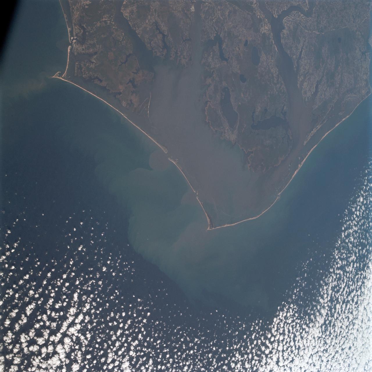
Cape Hatteras, North Carolina area as seen from Apollo 9
1969-03-12 · NASA Image and Video Library
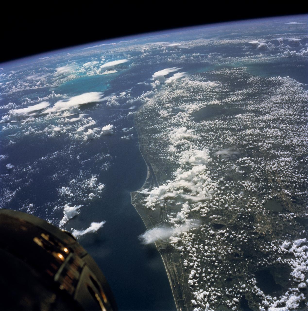
GEMINI-TITAN (GT)-5 - EARTH-SKY - (70mm HASSELBLAD)
1965-08-21 · NASA Image and Video Library
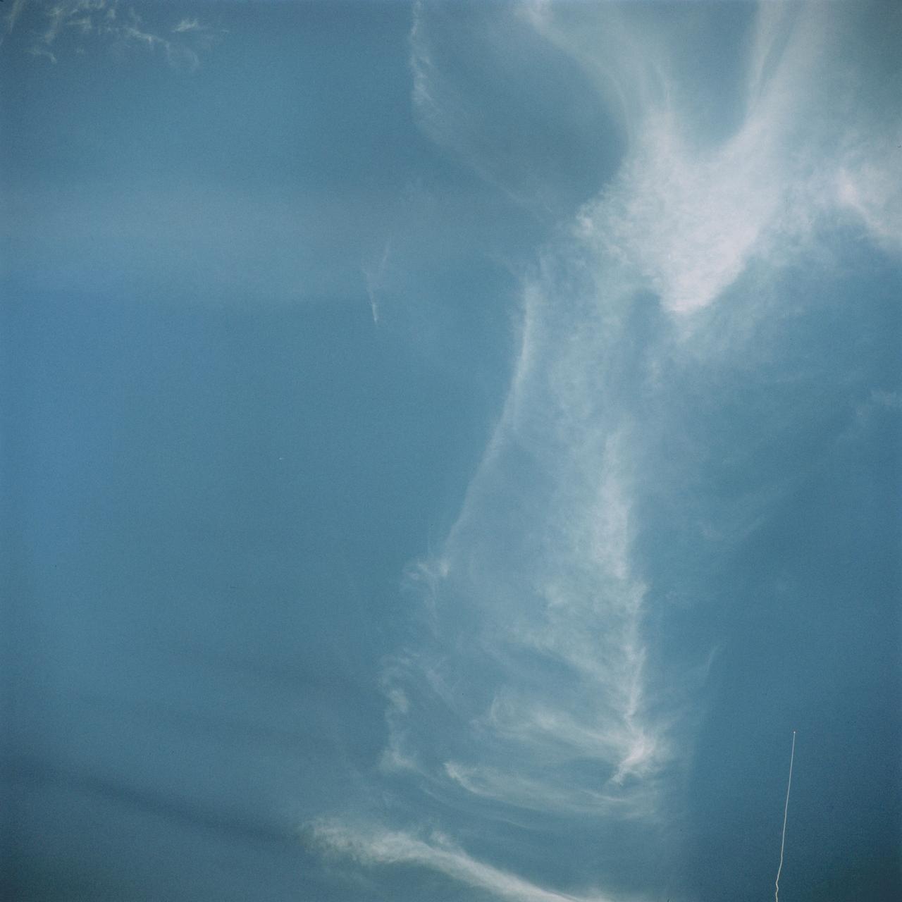
Polaris, underwater launch off Florida as seenn from Gemini 7
1965-12-12 · NASA Image and Video Library