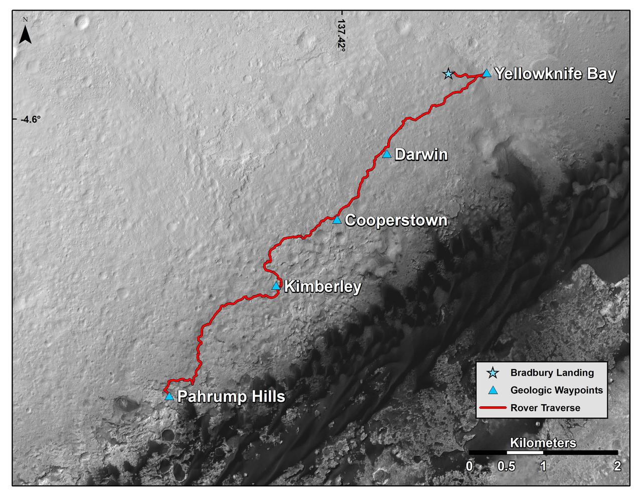
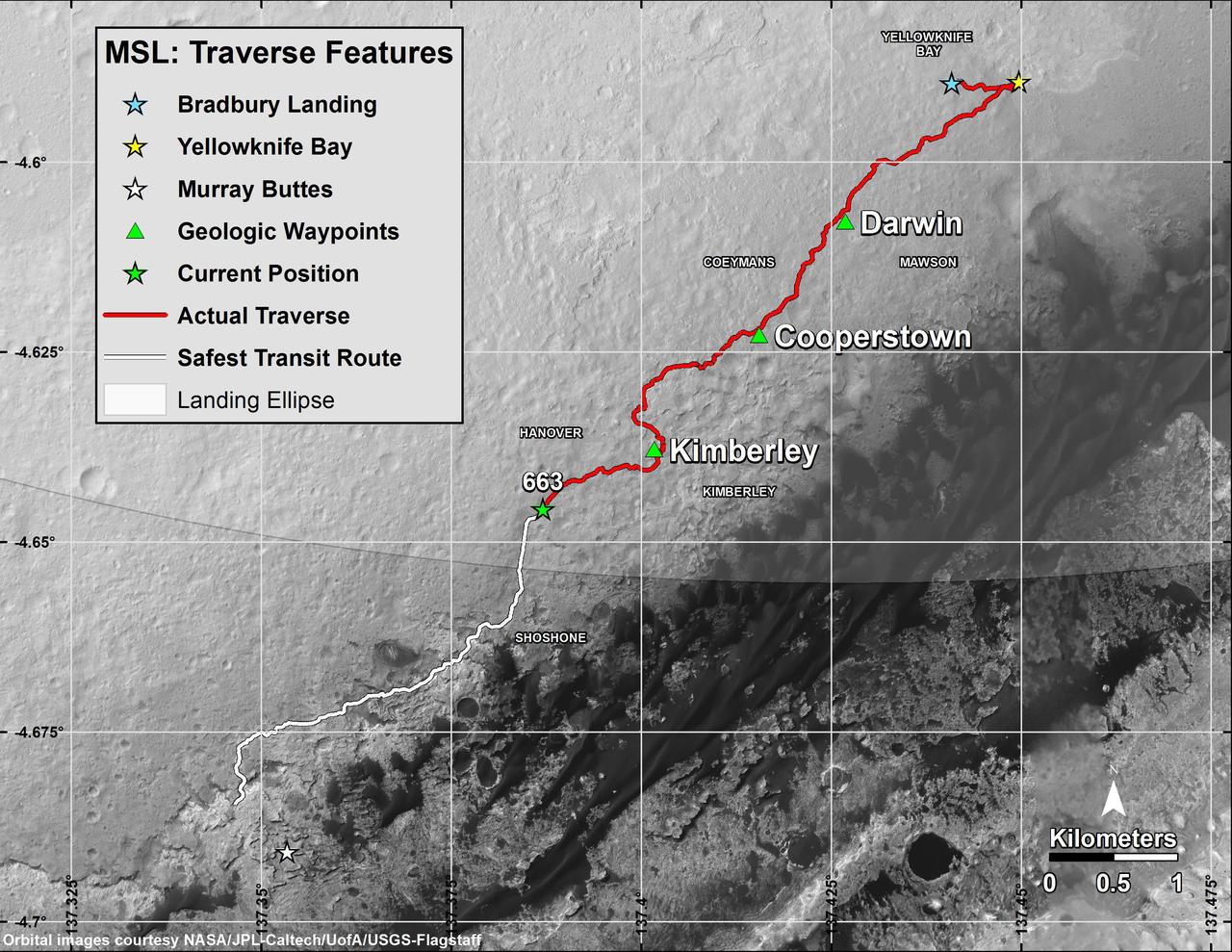
Curiosity Mars Rover Route from Landing to Base of Mount Sharp
This map shows the route driven by NASA Curiosity Mars rover from the location where it landed in August 2012 to the Pahrump Hills outcrop at the base of Mount Sharp.
- Date
- 2014-12-08
- Photographer / author
- NASA/JPL-Caltech/Univ. of Arizona
- Collection
- JPL
- Archive
- NASA Image and Video Library
- Type
- photograph
Public domainsafest
Reason: a NASA work: not copyrighted in the United States.
Read from: NASA media usage guidelines: NASA material is not copyrighted in the US unless noted; no third-party credit or mark found.
Credit line
"Curiosity Mars Rover Route from Landing to Base of Mount Sharp" (2014-12-08). NASA/JPL/NASA/JPL-Caltech/Univ. of Arizona. Public domain. https://images.nasa.gov/details/PIA19067Need photos for a whole script? Add Find Any Photo to Claude and ask for this one by its id: 23202.
More like this
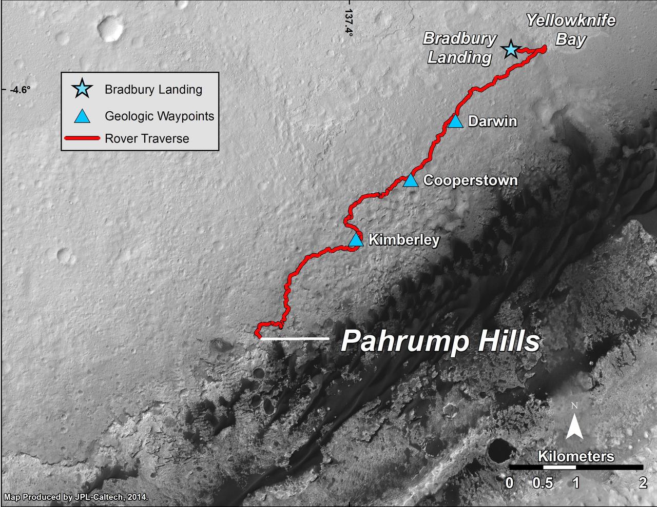
Curiosity Mars Rover Route from Landing to Pahrump Hills
2014-09-25 · NASA Image and Video Library
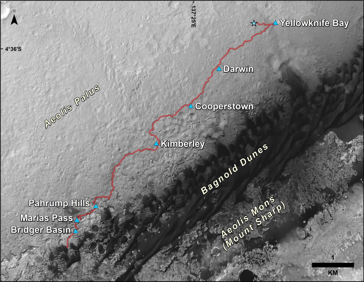
Curiosity Rover Traverse, First 1,185 Sols on Mars
2015-12-17 · NASA Image and Video Library
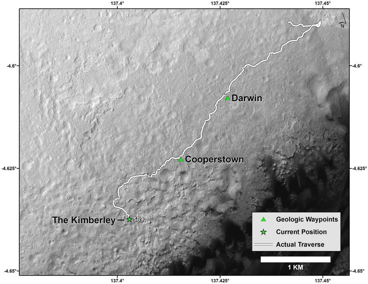
Curiosity Mars Rover Route from Landing to The Kimberley Waypoint
2014-04-03 · NASA Image and Video Library
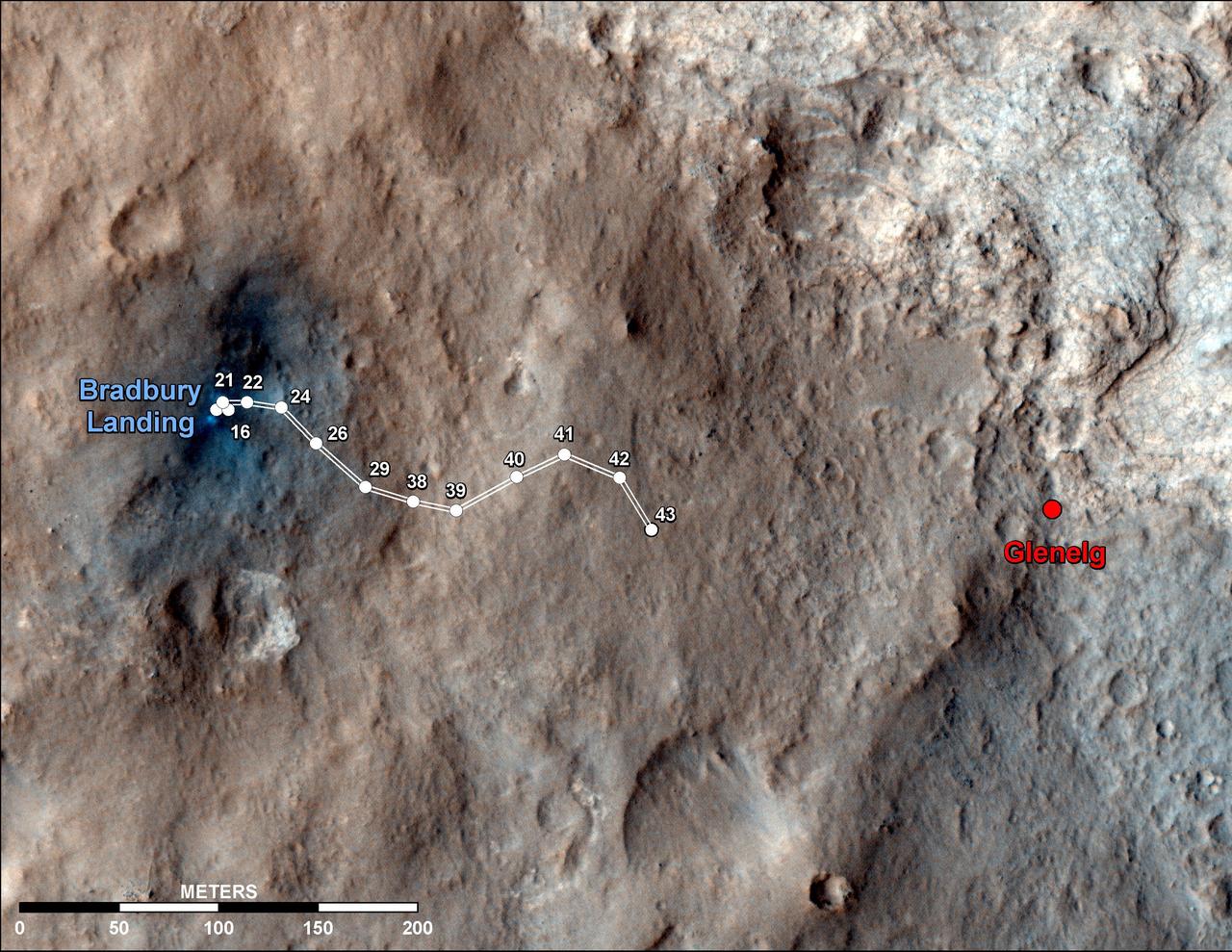
Curiosity Traverse Map Through Sol 43
2012-09-19 · NASA Image and Video Library
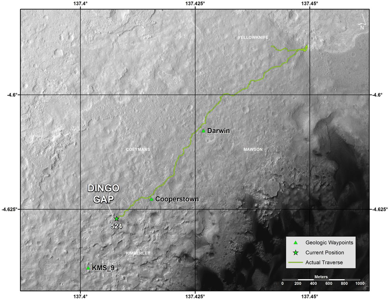
Traverse Map for Mars Rover Curiosity as of Jan. 26, 2014
2014-01-29 · NASA Image and Video Library
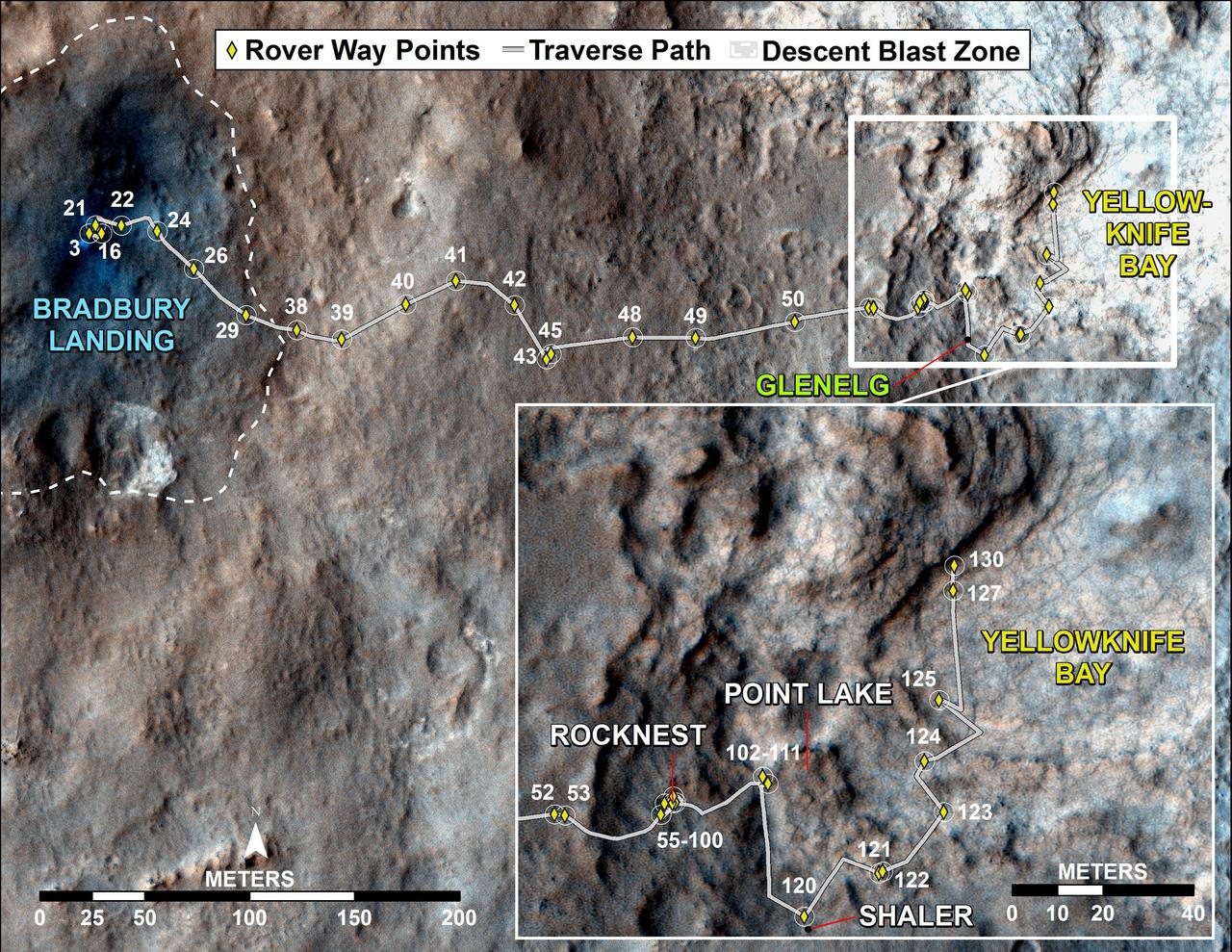
Curiosity Traverse Map, Sol 130
2012-12-18 · NASA Image and Video Library
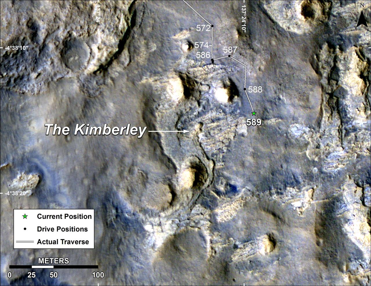
Map of Curiosity Mars Rover Drives to the Kimberley Waypoint
2014-04-03 · NASA Image and Video Library
Curiosity Rover Traverse, First 663 Sols on Mars
2014-06-23 · NASA Image and Video Library