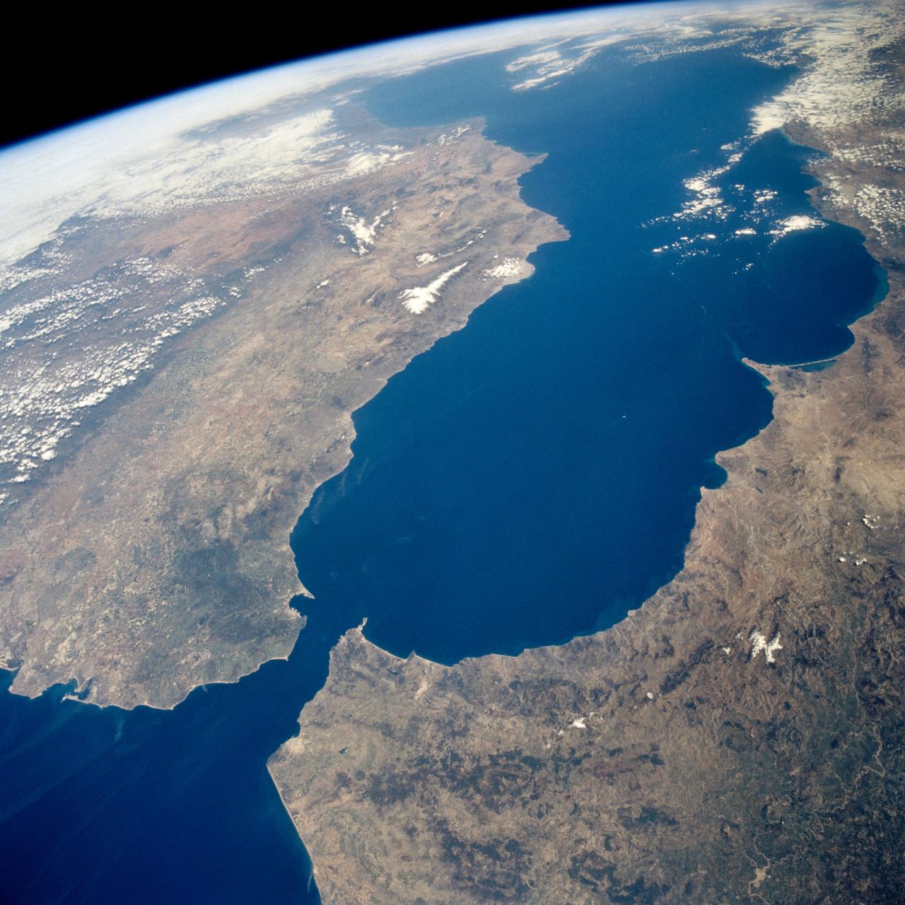
Earth observations taken during the STS-59 mission
STS059-238-074 (9-20 April 1994) --- The Atlantic Ocean, Straits of Gibraltar, and Alboran Sea (the westernmost portion of the Mediterranean Sea) separate Spain on the left from Morocco on the right. Algeciras Harbor is the prominent notch cut out of the eastern end of the north shore of the Strait; the Rock of Gibraltar is the tiny arrowhead that separates the notch from the Alboran Sea. The Sierra Nevada, farther away down the Spanish coast, lives up to its name in this April scene. The difference in elevation between the Sierra Morena and the Guadalquivir River valley is highlighted nicely by cumulus clouds. Tangier, Morocco can be seen as a light-toned spot on the southern shore of the Strait, near the entrance to the Atlantic Ocean. Hasselblad photograph.
- Date
- 1994-04-17
- Collection
- JSC
- Archive
- NASA Image and Video Library
- Type
- photograph
Public domainsafest
Reason: a NASA work: not copyrighted in the United States.
Read from: NASA media usage guidelines: NASA material is not copyrighted in the US unless noted; no third-party credit or mark found.
Credit line
"Earth observations taken during the STS-59 mission" (1994-04-17). NASA/JSC. Public domain. https://images.nasa.gov/details/sts059-238-074Need photos for a whole script? Add Find Any Photo to Claude and ask for this one by its id: 15168.
More like this
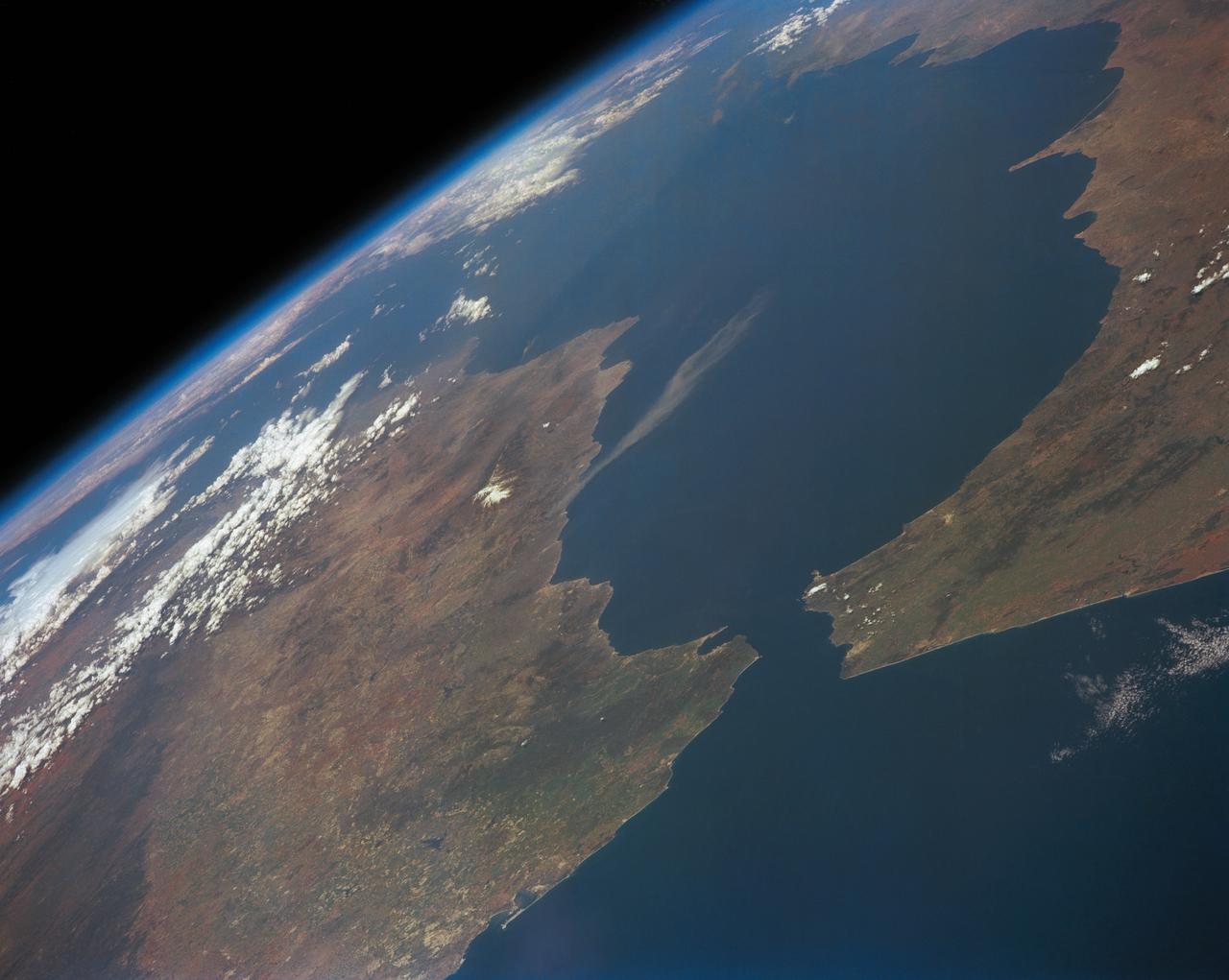
Strait of Gibraltar
1991-05-06 · NASA Image and Video Library

Strait of Gibraltar as seen from STS-60
1994-02-09 · NASA Image and Video Library
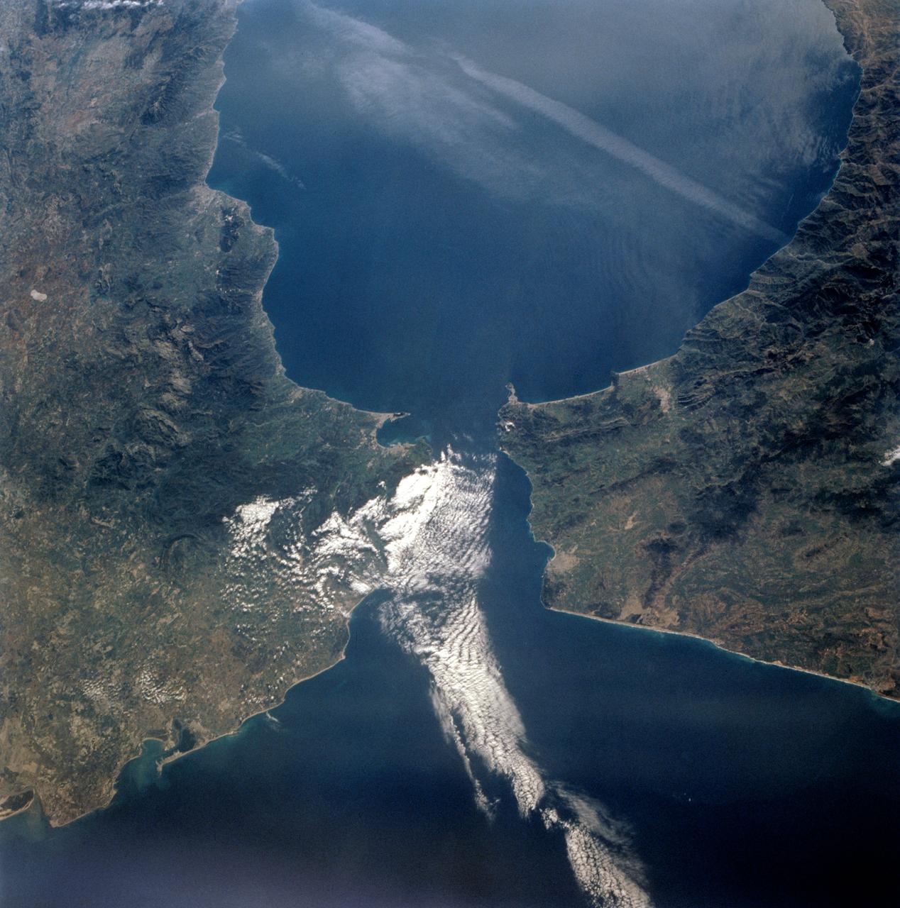
STS-56 Earth observation of the Strait of Gibraltar
1993-04-17 · NASA Image and Video Library
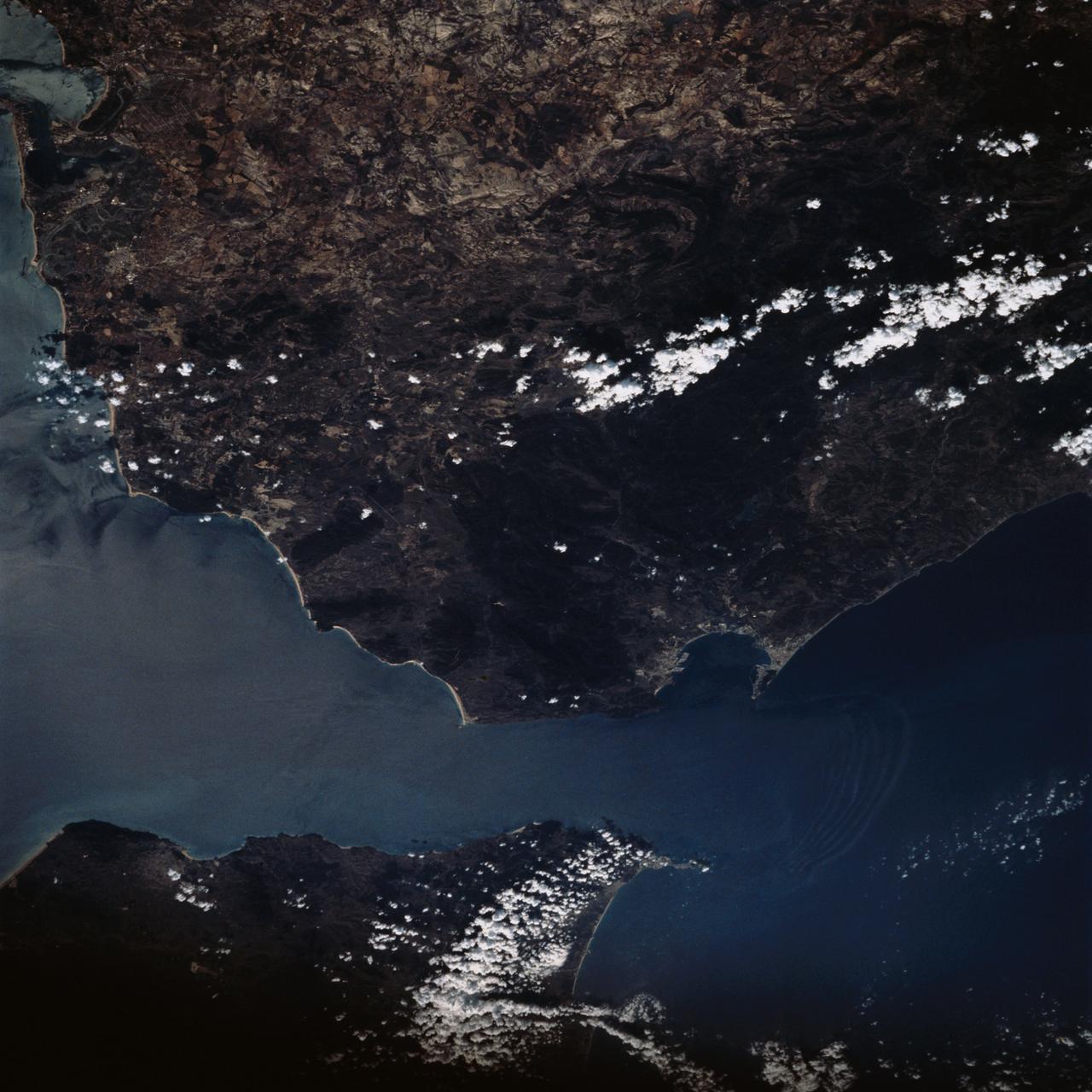
Strait of Gibraltar as seen from STS-58
1993-10-20 · NASA Image and Video Library
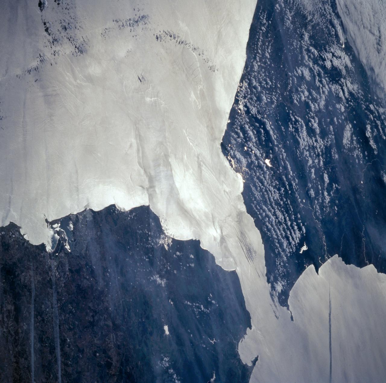
Strait of Gibraltar seen from STS-66
1994-11-14 · NASA Image and Video Library
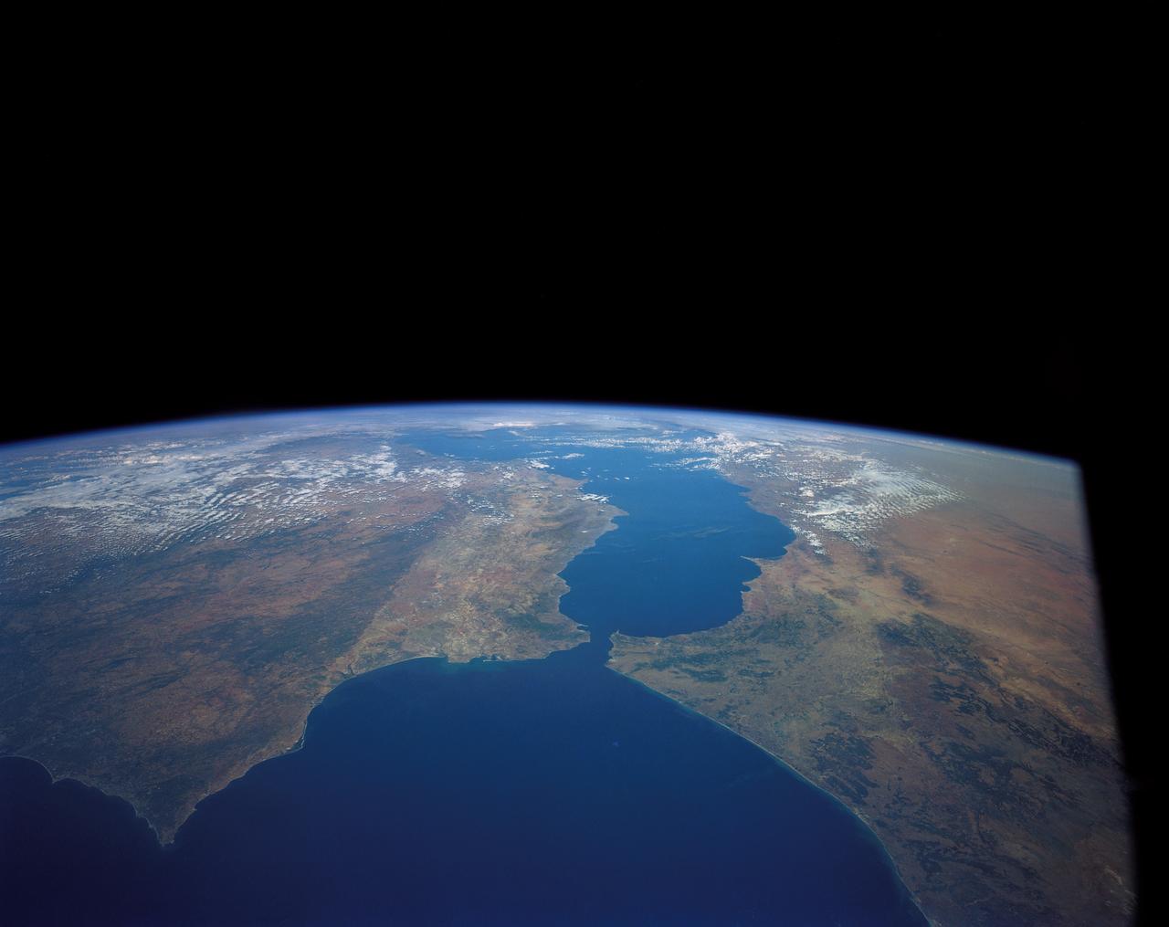
Strait of Gibraltar
1984-10-13 · NASA Image and Video Library
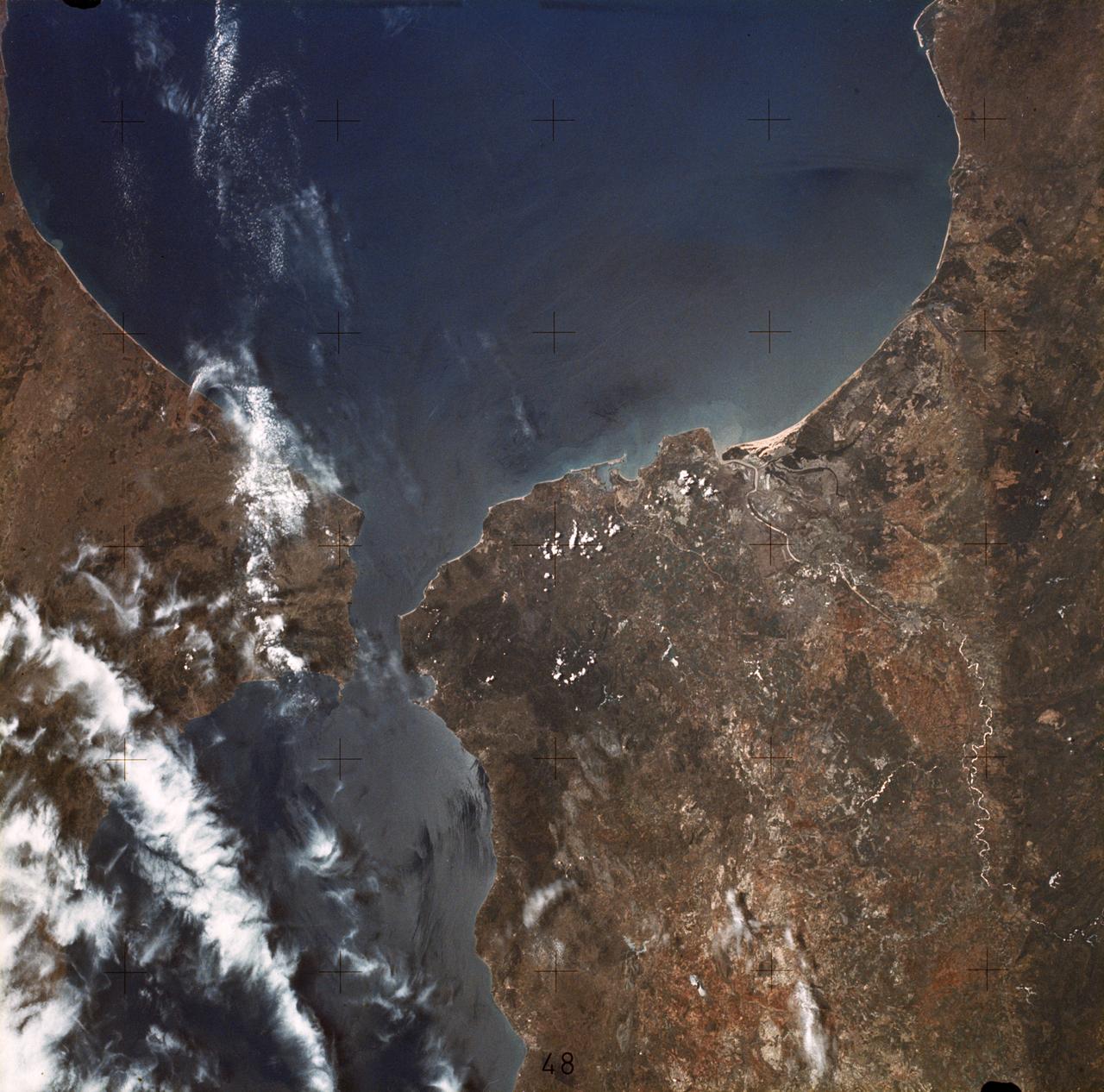
Strait of Gibraltar
1973-06-22 · NASA Image and Video Library
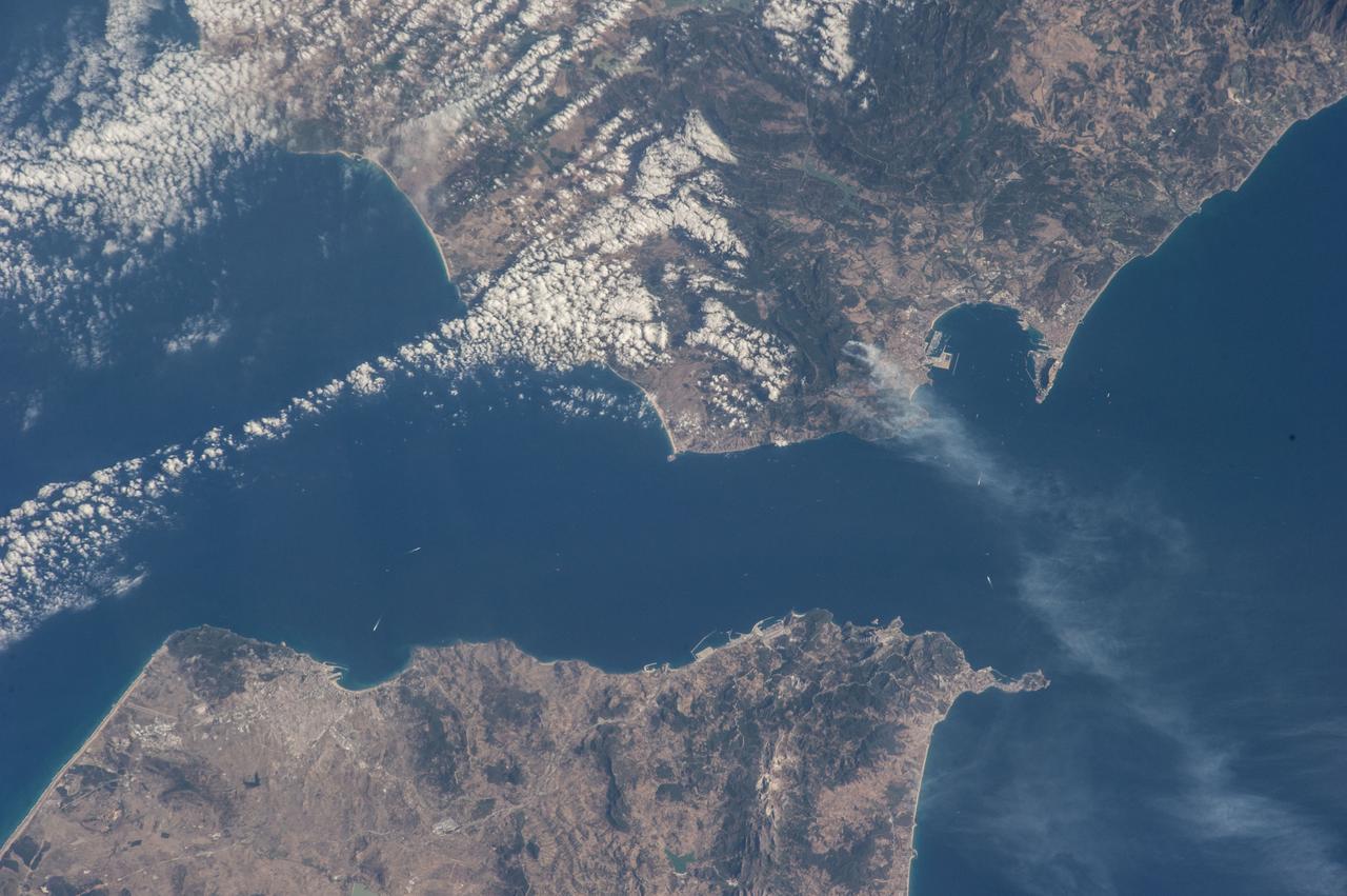
Earth Observation
2014-07-25 · NASA Image and Video Library