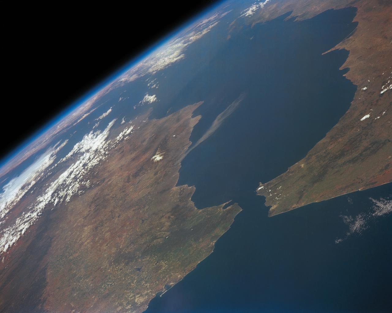
Strait of Gibraltar
STS039-151-193 (28 April-6 May 1991) --- The Strait of Gibraltar, the only outlet for the Mediterranean Sea, was photographed with a large format handheld camera by the STS-39 crew members. Scientists site evidence in Shuttle photography that the Mediterranean Sea dried up a number of times between 5 million and 20 million years ago. Sea levels, they say, dropped slightly, cutting off the Mediterranean (top right) from the Atlantic Ocean (bottom). In southern Spain, the dark area near the coast is the delta of the Guadalquivir River with the city of Seville. The Sierra Nevada range still has some snow. A small field fire near the Spanish coast has generated a conspicuous smoke plume. The small spike of land on the north side of the Strait is the Rock of Gibraltar, an outpost of the British empire. The larger spike of land on the north coast of Africa marks the border between Morocco (center foreground) and Algeria (right). The sharp line cutting across them Mediterranean (top right) marks the edge of a dust cloud blowing from Africa into Europe. Photo credit: NASA
- Date
- 1991-05-06
- Collection
- JSC
- Archive
- NASA Image and Video Library
- Type
- photograph
Public domainsafest
Reason: a NASA work: not copyrighted in the United States.
Read from: NASA media usage guidelines: NASA material is not copyrighted in the US unless noted; no third-party credit or mark found.
Credit line
"Strait of Gibraltar" (1991-05-06). NASA/JSC. Public domain. https://images.nasa.gov/details/s39-151-193Need photos for a whole script? Add Find Any Photo to Claude and ask for this one by its id: 15171.
More like this
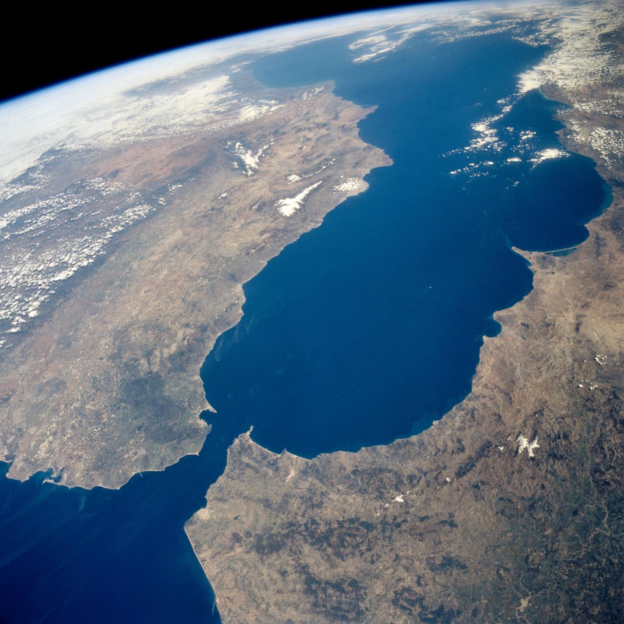
Earth observations taken during the STS-59 mission
1994-04-17 · NASA Image and Video Library
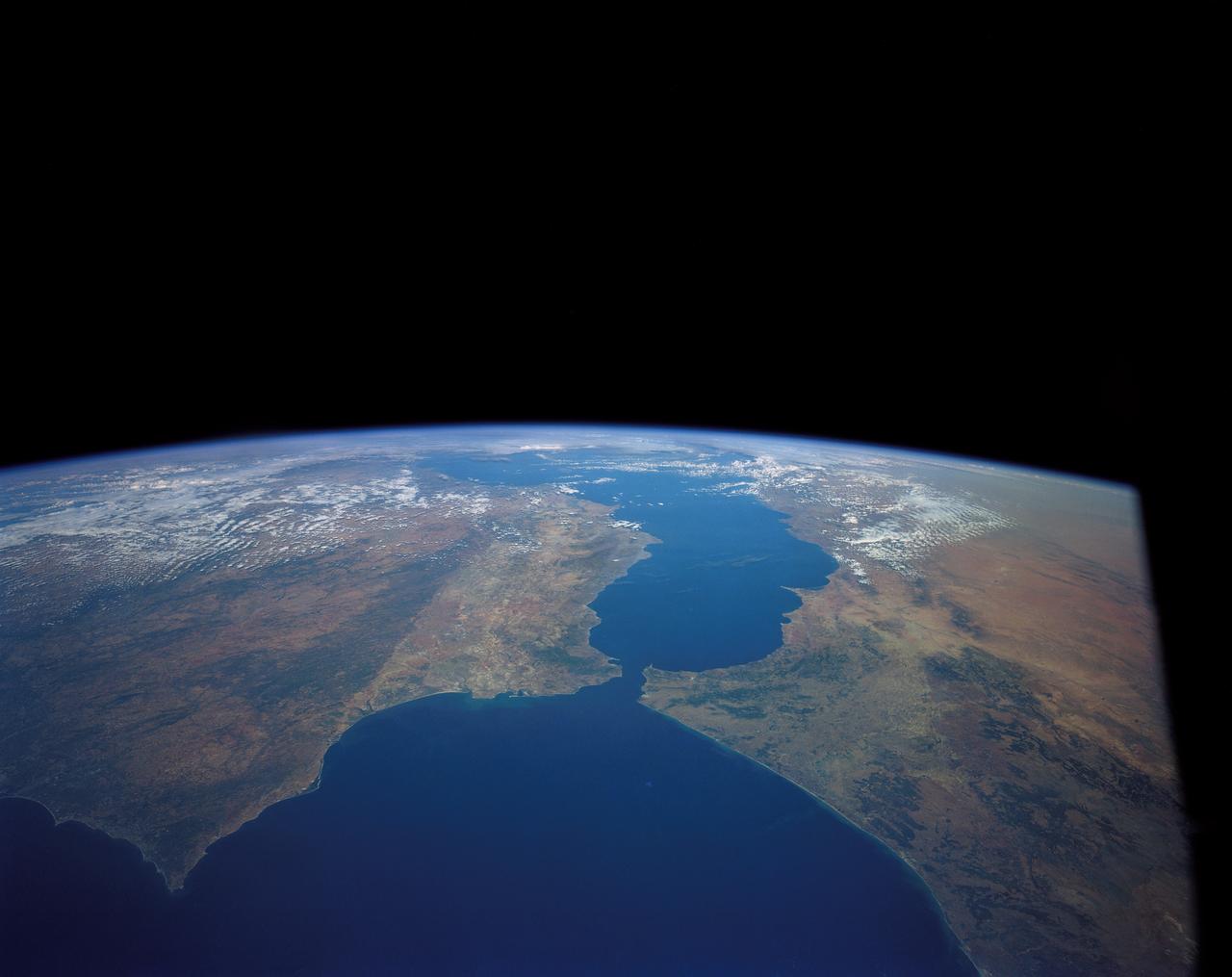
Strait of Gibraltar
1984-10-13 · NASA Image and Video Library
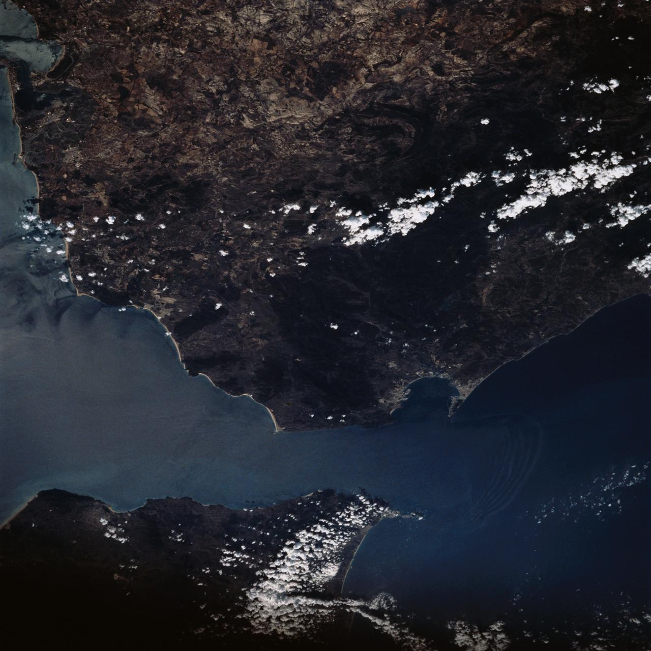
Strait of Gibraltar as seen from STS-58
1993-10-20 · NASA Image and Video Library

Strait of Gibraltar as seen from STS-60
1994-02-09 · NASA Image and Video Library
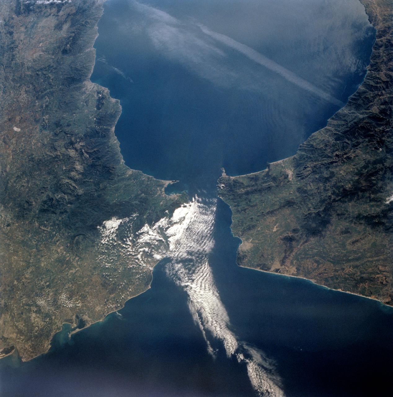
STS-56 Earth observation of the Strait of Gibraltar
1993-04-17 · NASA Image and Video Library
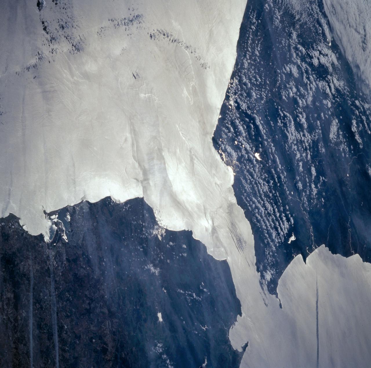
Strait of Gibraltar seen from STS-66
1994-11-14 · NASA Image and Video Library
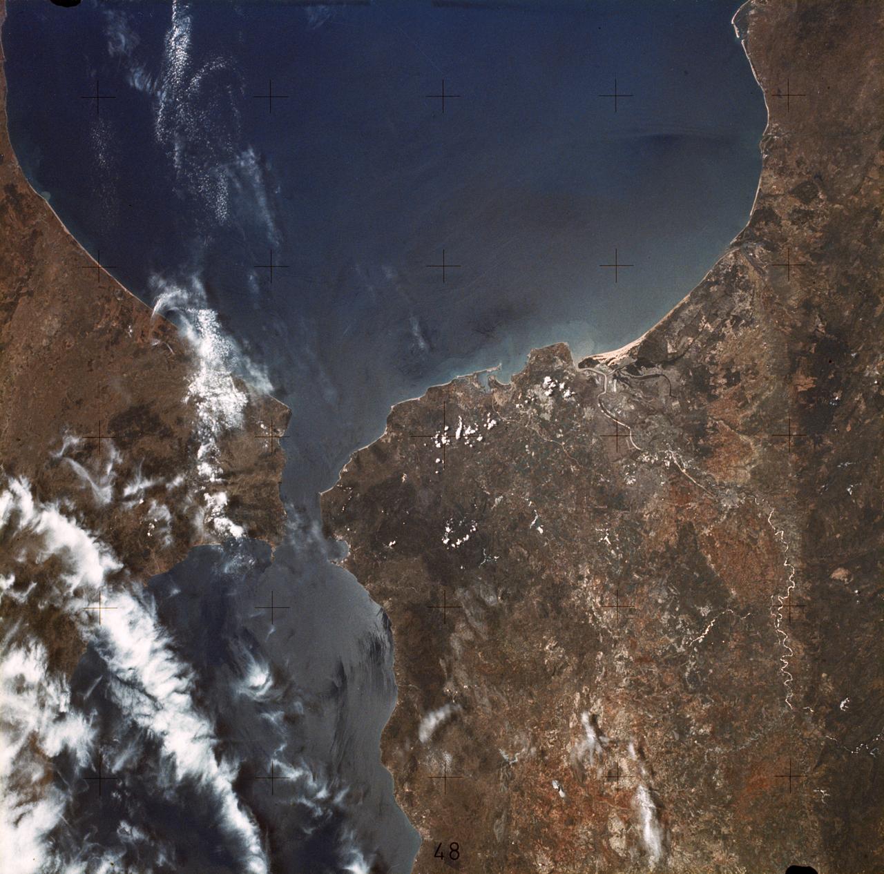
Strait of Gibraltar
1973-06-22 · NASA Image and Video Library
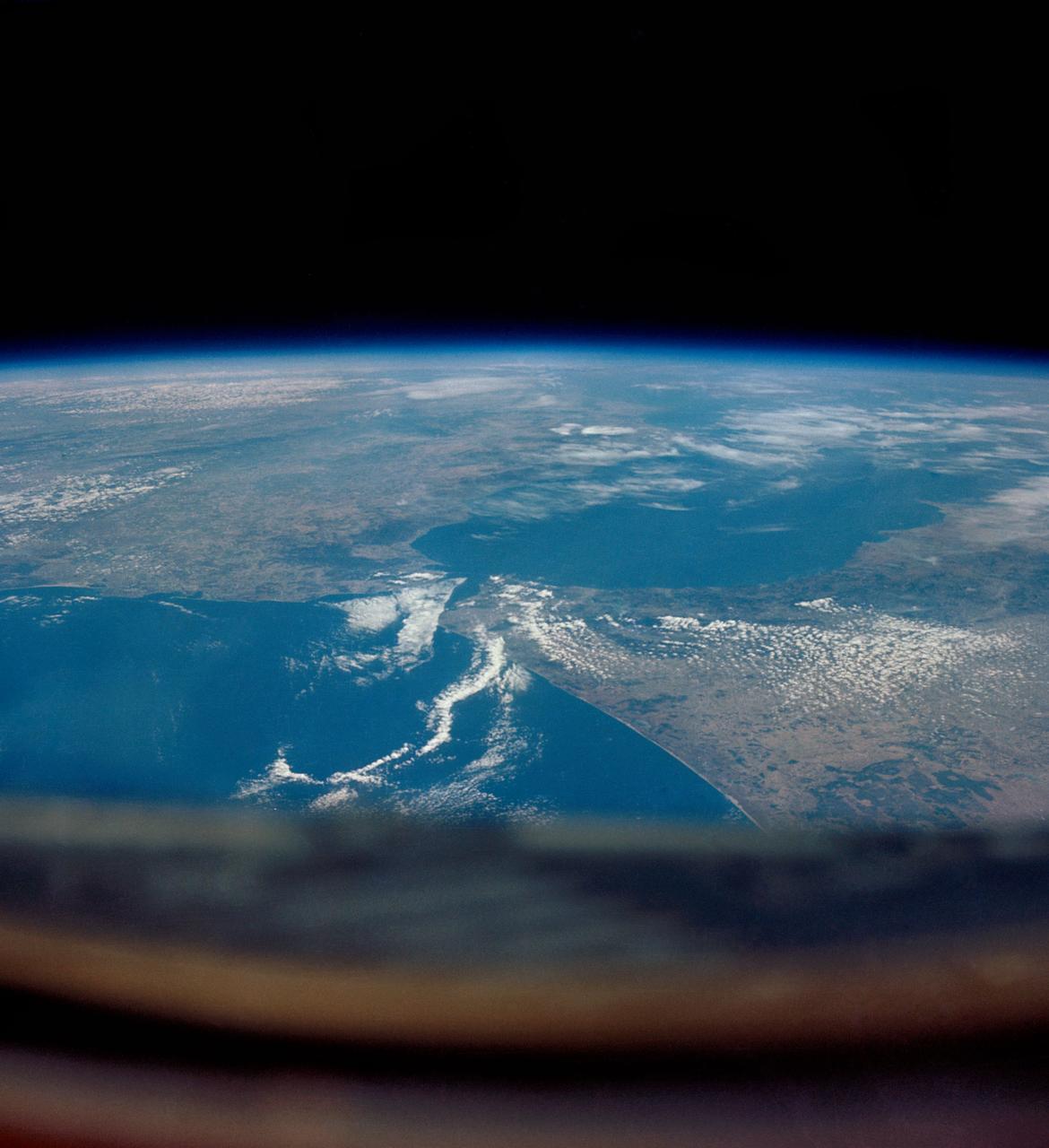
GEMINI-V - EARTH-SKY - STRAITS OF GIBRALTAR - OUTER SPACE
1965-08-22 · NASA Image and Video Library