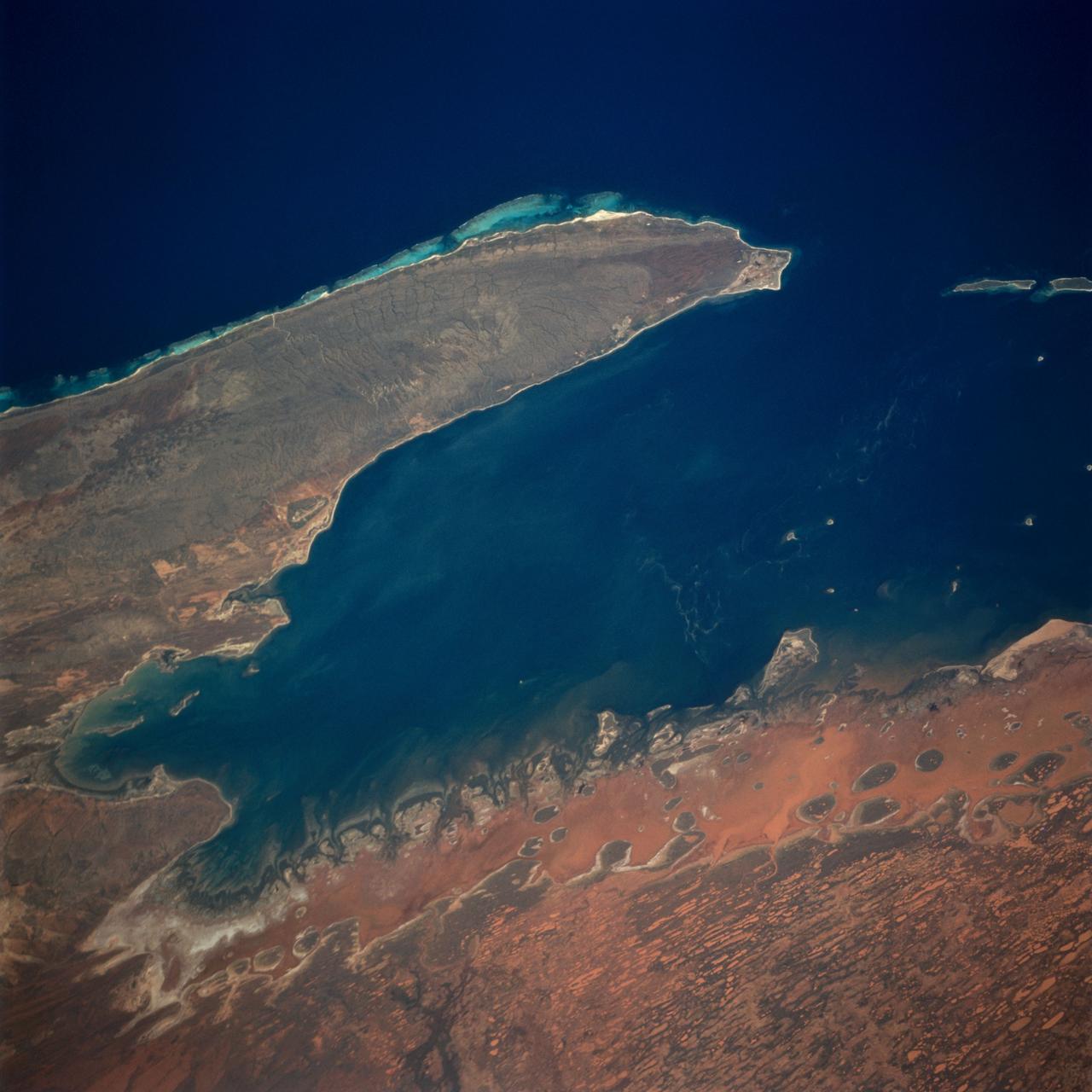
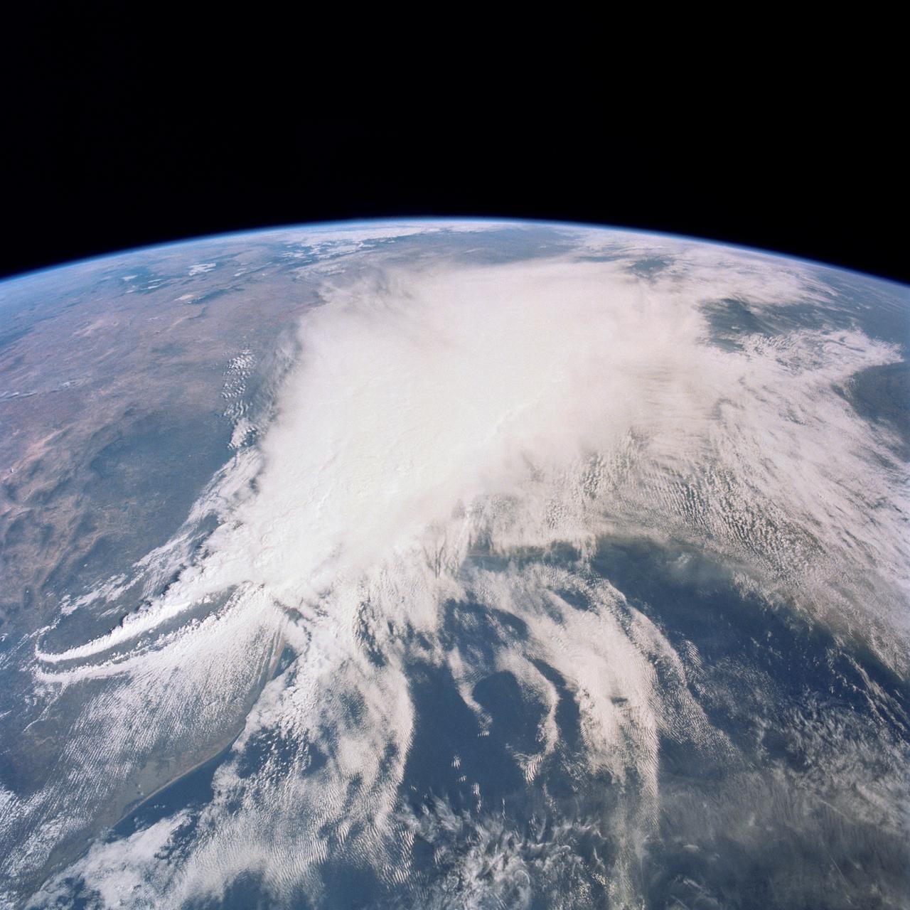
Exmouth Gulf, Australia as seen from STS-67 Endeavour
The Exmouth Gulf, western Australia, is bounded on the west by the Cape Ranges; near the base of the peninsula the Learmonth Airfield, site of a solar observatory, can be seen. Spit-accretion ridges formed on ancient beaches extend along the western edge of the peninsula, which today is lined by the Ningaloo Reef. Red mud carried by floodwaters, the result of Hurricane Bobby the previous week, cover flat coastal land along the eastern side of the gulf. The mud is mixing slowly with marine water as it filters through passes between mangrove-covered islands. A filamentous pattern in the gulf probably indicates a plankton bloom. Island paleodunes stretching from south to north cover the landscape.
- Date
- 1995-03-17
- Collection
- JSC
- Archive
- NASA Image and Video Library
- Type
- photograph
Public domainsafest
Reason: a NASA work: not copyrighted in the United States.
Read from: NASA media usage guidelines: NASA material is not copyrighted in the US unless noted; no third-party credit or mark found.
Credit line
"Exmouth Gulf, Australia as seen from STS-67 Endeavour" (1995-03-17). NASA/JSC. Public domain. https://images.nasa.gov/details/sts067-722a-053Need photos for a whole script? Add Find Any Photo to Claude and ask for this one by its id: 14667.
More like this
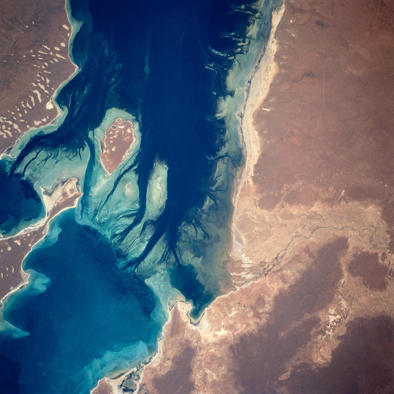
Disappointment Reach, Australia as seen from STS-67 Endeavour
1995-03-14 · NASA Image and Video Library
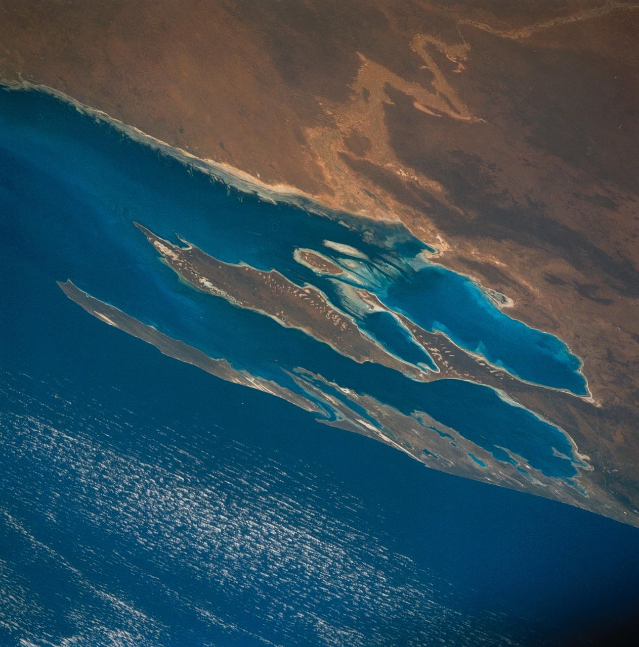
Algae Reefs in Shark Bay, Western Australia, Australia
1990-12-10 · NASA Image and Video Library
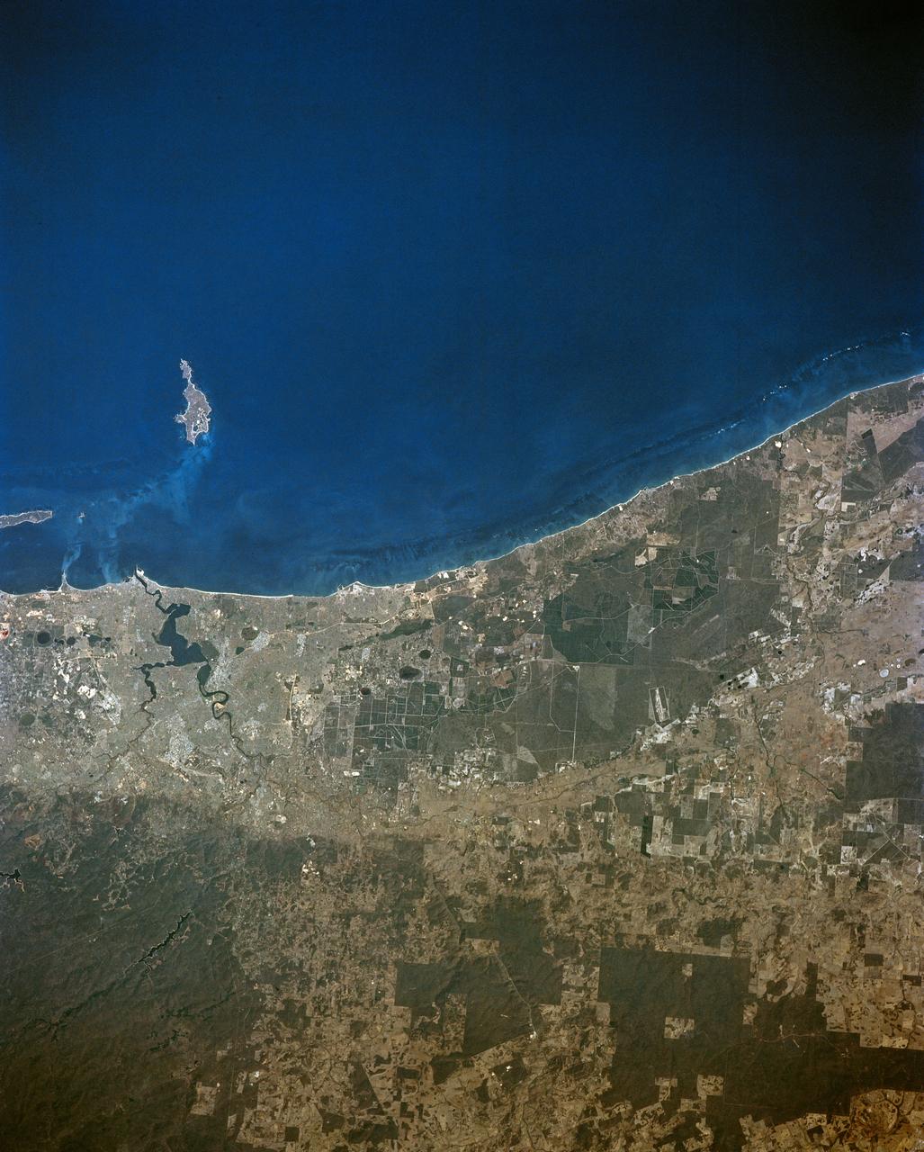
STS-56 Earth observation of Perth in Western Australia
1993-04-17 · NASA Image and Video Library
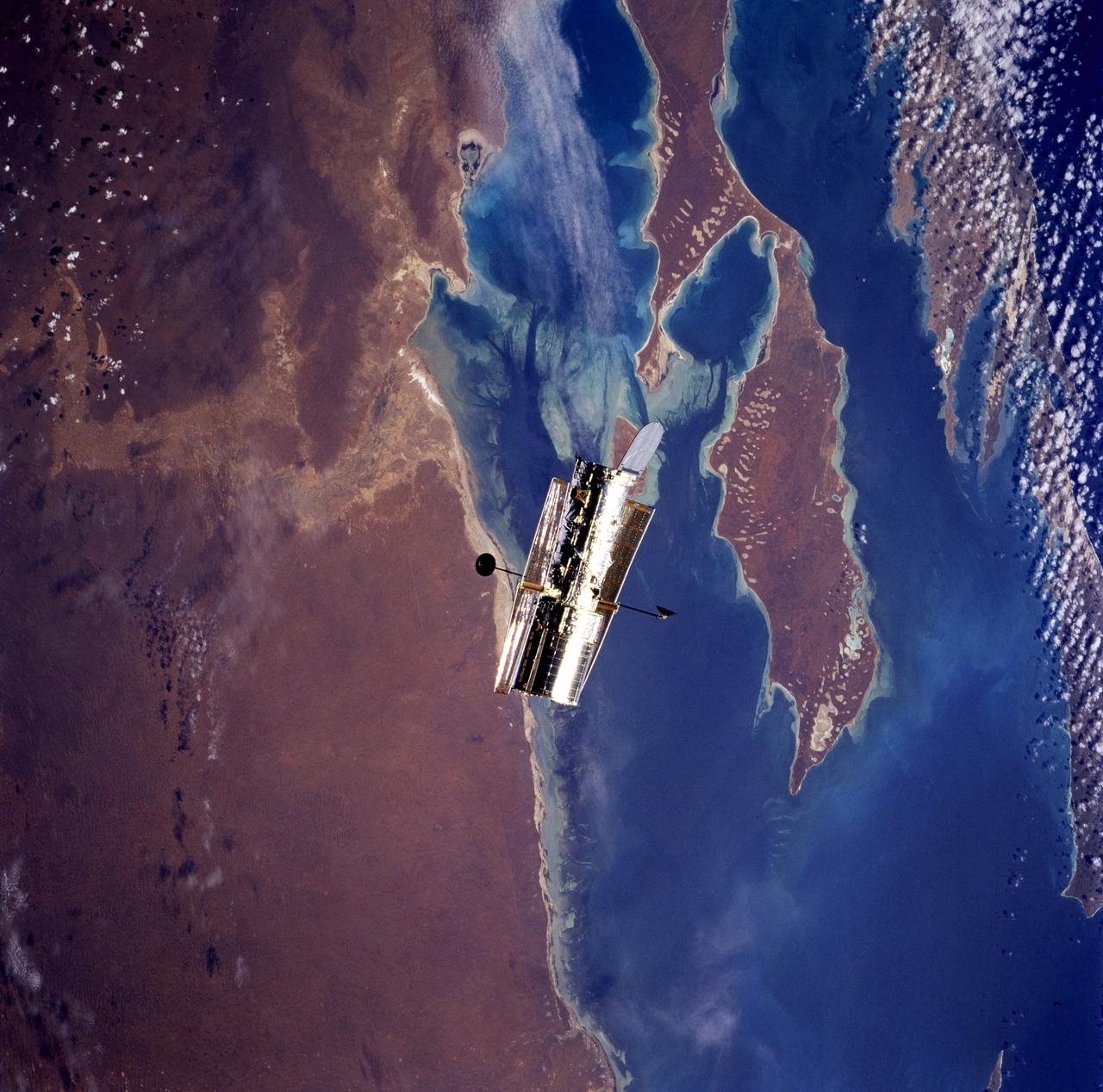
HST, flyaround of the telescope after deployment on this second servicing mission
1997-02-19 · NASA Image and Video Library
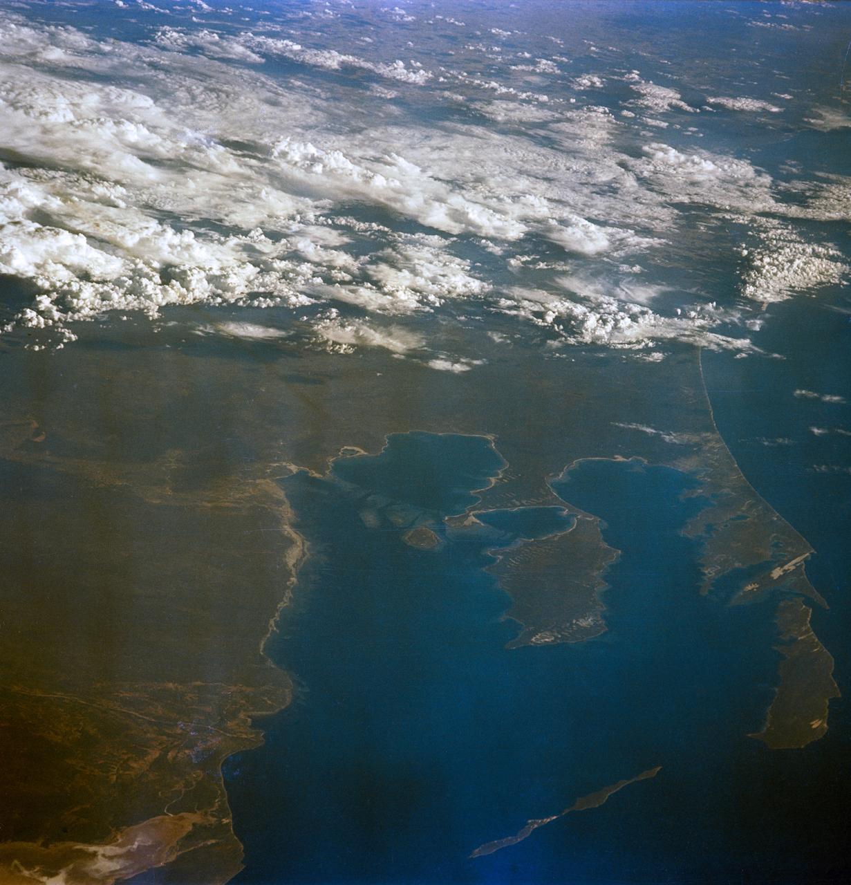
GEMINI-6 - EARTH-SKY VIEW - AUSTRALIA - OUTER SPACE
1965-12-16 · NASA Image and Video Library
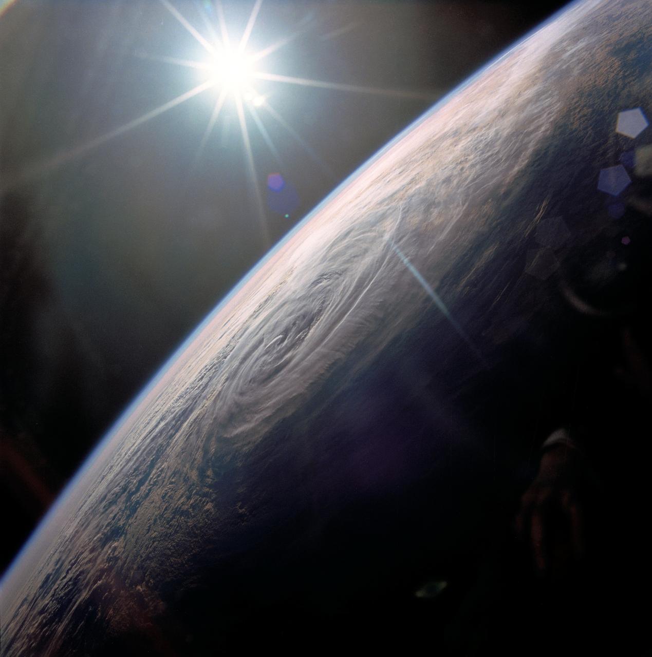
Tropical Storm Sam, Eastern Indian Ocean
1990-01-20 · NASA Image and Video Library
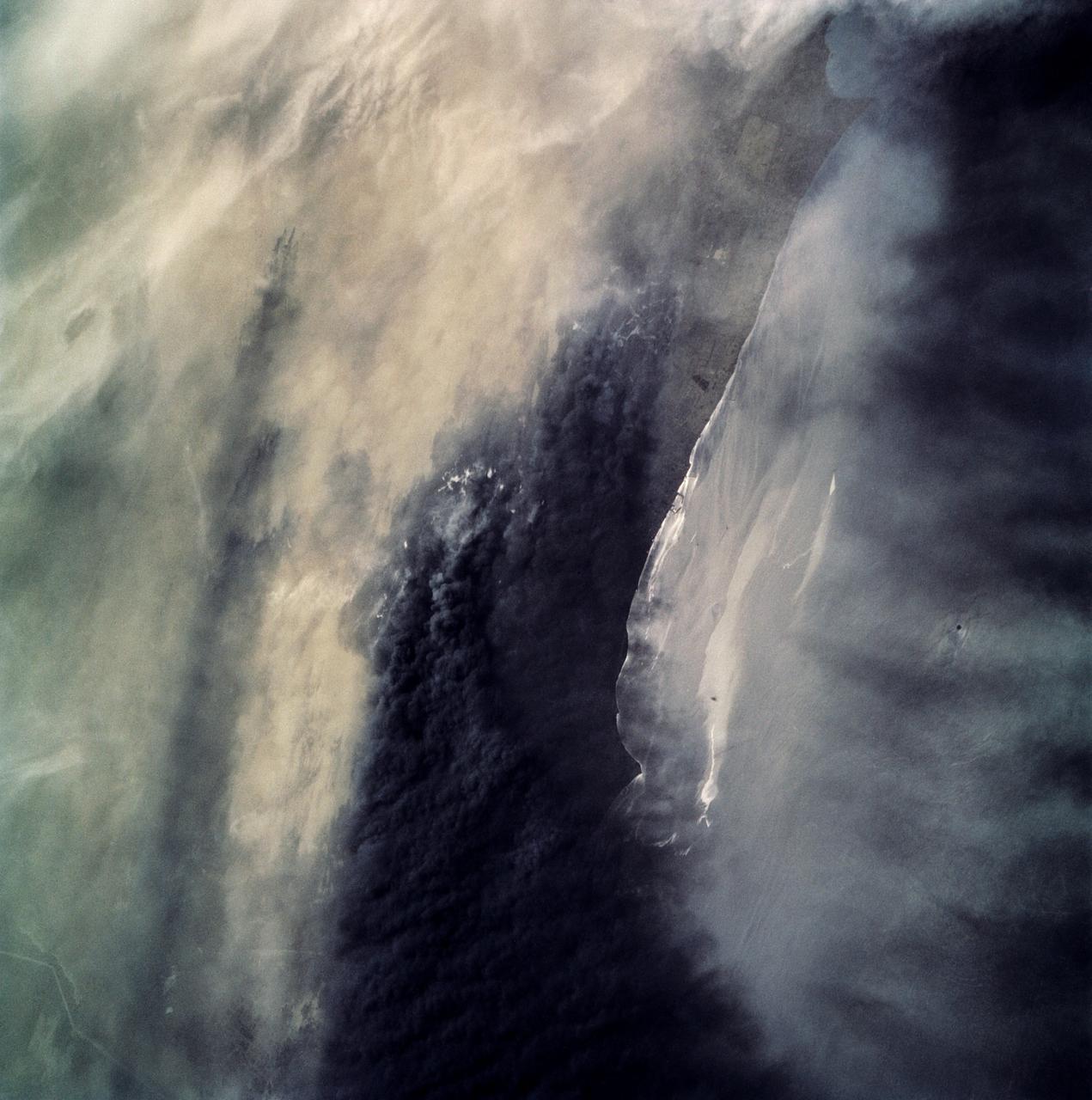
Oil Fires and Oil Slick, Kuwait
1991-05-06 · NASA Image and Video Library
Thunderstorm, Texas Gulf Coast, USA
1990-04-29 · NASA Image and Video Library