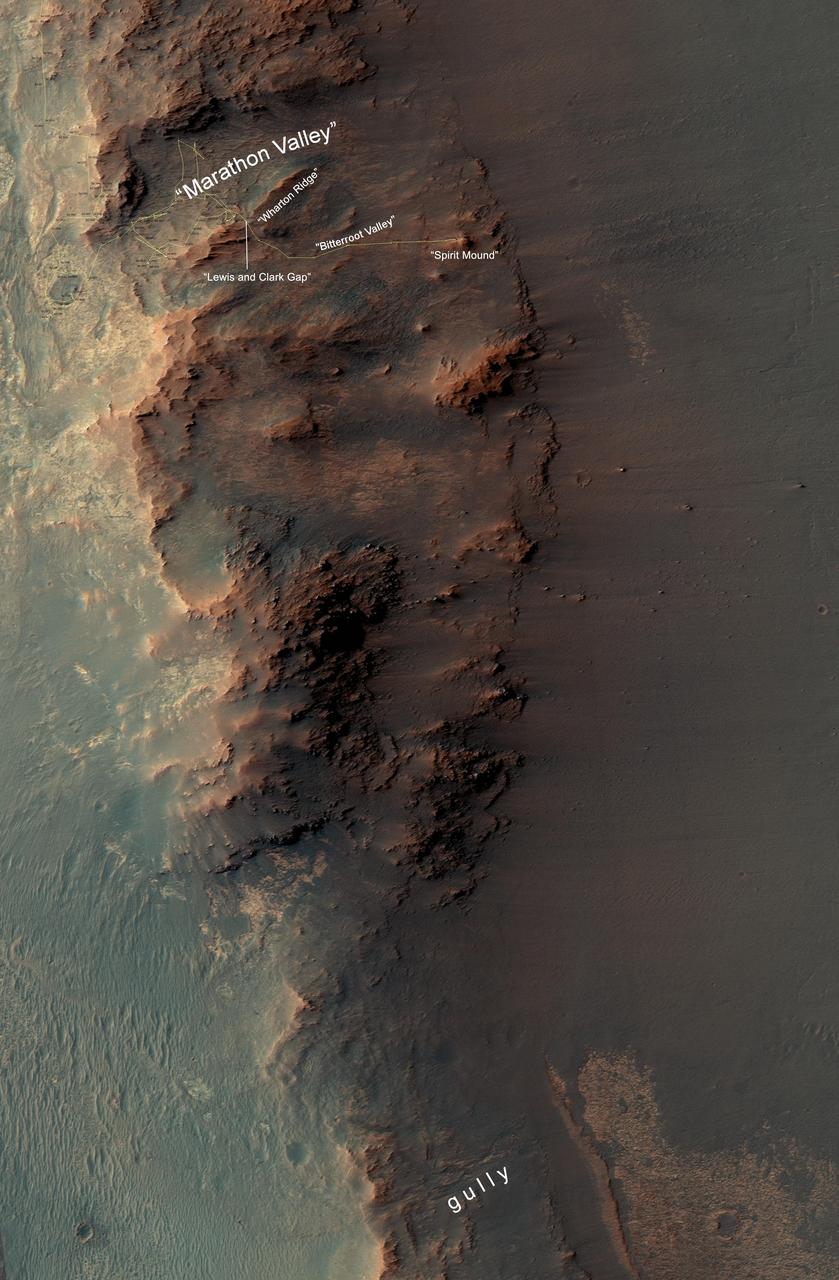
From Marathon Valley to Gully on Endeavour Rim
This map show a portion of Endeavour Crater's western rim that includes the "Marathon Valley" area investigated intensively by NASA's Mars Exploration Rover Opportunity in 2015 and 2016, and a fluid-carved gully that is a destination to the south for the mission. The width of the area covered in the map is about half a mile (about 800 meters). North is up. Opportunity entered the northern end of the mapped area in January 2015 and entered Marathon Valley in July 2015. A gold line on the map, which may not be visible without zooming into the image, shows the rover's route. Curiosity departed Marathon Valley in September 2016 by driving southward through "Lewis and Clark Gap" into "Bitterroot Valley." The gully near the south end of the map was incised into Endeavour's rim long ago by a fluid, possibly a water-lubricated debris flow or a flow with mostly water. Driving into this gully to learn more about that flow is one of the goals for a two-year mission extension taking Opportunity through September 2018. A map showing wider context of Opportunity's route from its January 2004 landing in Eagle Crater to Endeavour Crater and Marathon Valley is at PIA19154. The rover's traverse show
- Date
- 2016-10-07
- Photographer / author
- NASA/JPL-Caltech/Univ. of Arizona
- Collection
- JPL
- Archive
- NASA Image and Video Library
- Type
- photograph
Public domainsafest
Reason: a NASA work: not copyrighted in the United States.
Read from: NASA media usage guidelines: NASA material is not copyrighted in the US unless noted; no third-party credit or mark found.
Credit line
"From Marathon Valley to Gully on Endeavour Rim" (2016-10-07). NASA/JPL/NASA/JPL-Caltech/Univ. of Arizona. Public domain. https://images.nasa.gov/details/PIA20854Need photos for a whole script? Add Find Any Photo to Claude and ask for this one by its id: 22361.
More like this
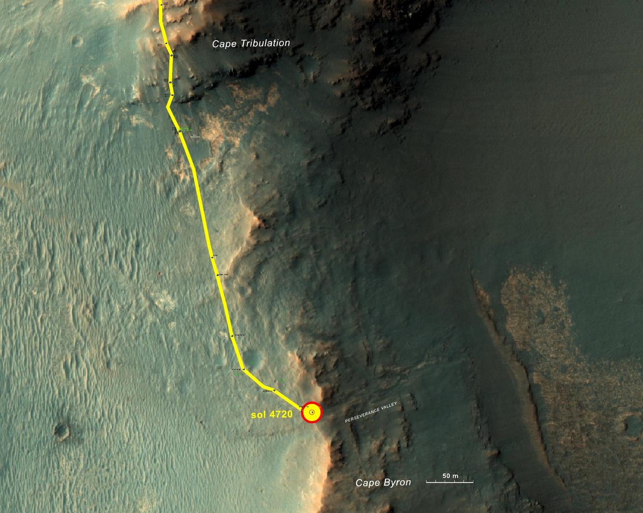
From 'Tribulation' to 'Perseverance' on Mars
2017-05-15 · NASA Image and Video Library
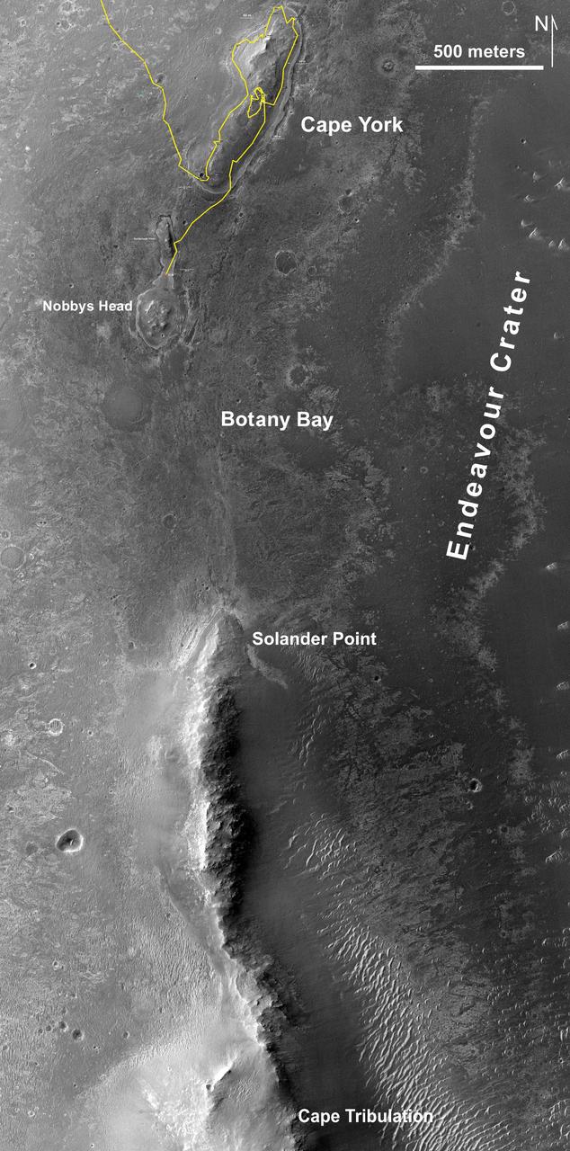
Southbound Opportunity, June 2013
2013-06-07 · NASA Image and Video Library
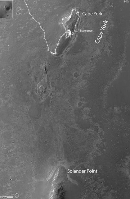
Opportunity Heads Toward Next Destination, Solander Point
2013-05-17 · NASA Image and Video Library
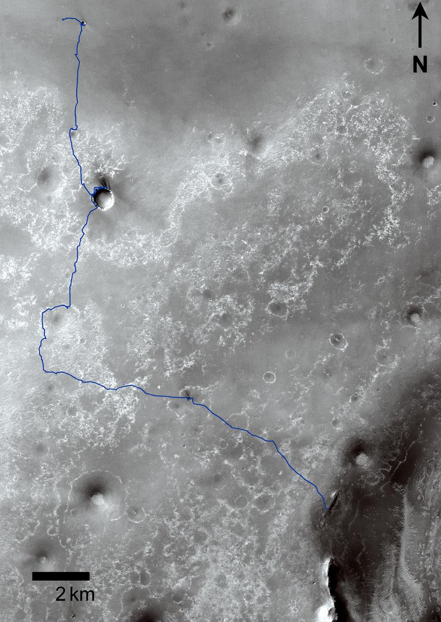
Opportunity Traverses Through 2,700 Martian Days
2011-09-01 · NASA Image and Video Library
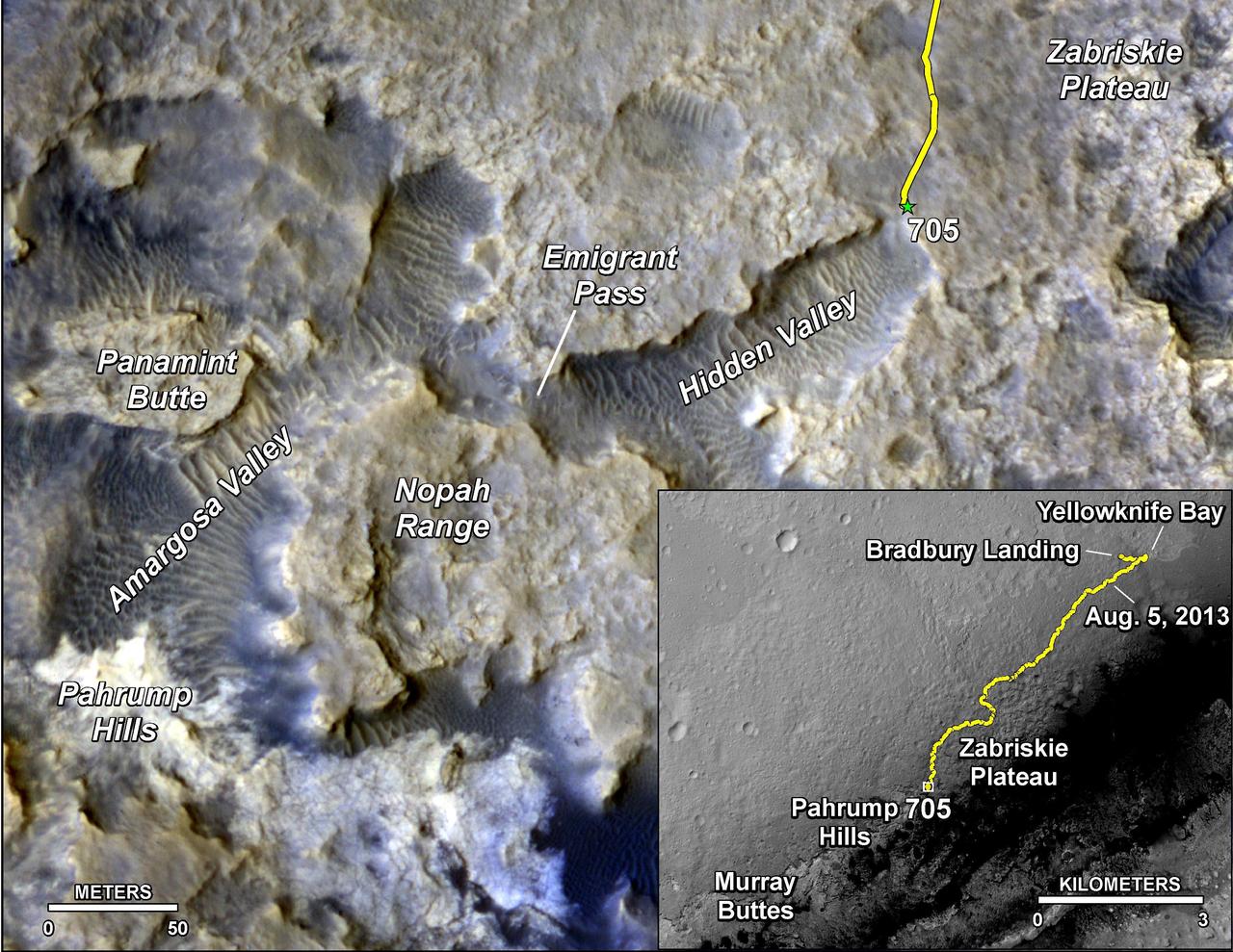
Sandy Martian Valleys in Curiosity Near Future
2014-08-01 · NASA Image and Video Library
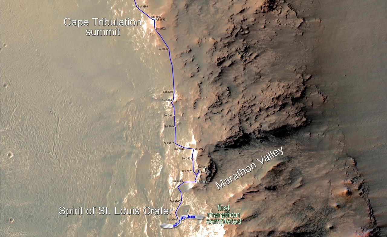
Opportunity Rover Surpasses Marathon Distance
2015-03-24 · NASA Image and Video Library
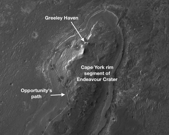
Locator Map for Greeley Haven on Endeavour Rim
2012-01-05 · NASA Image and Video Library
Curiosity Rover Traverse, First 1,185 Sols on Mars
2015-12-17 · NASA Image and Video Library