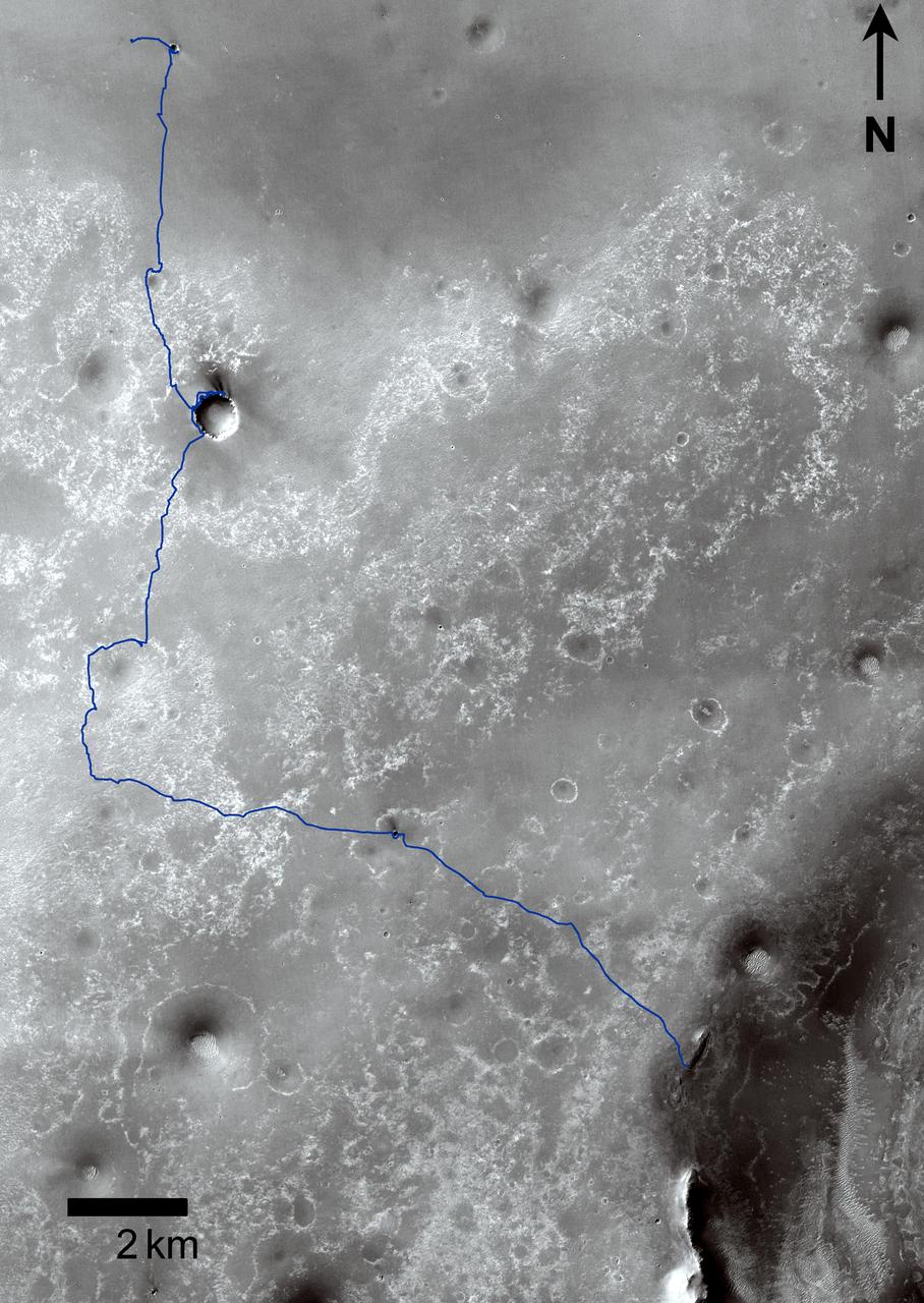
Opportunity Traverses Through 2,700 Martian Days
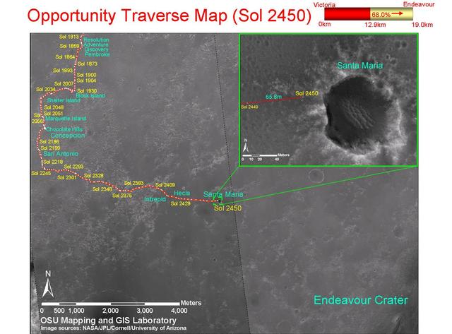
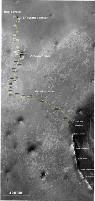
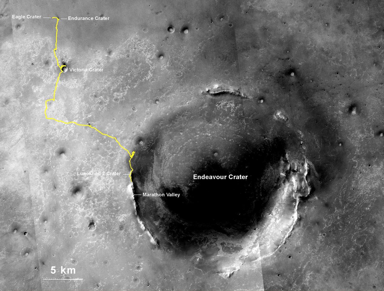
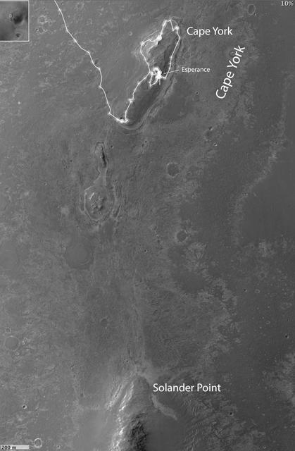
This map shows route driven by NASA Mars Exploration Rover Opportunity from the site of its landing, inside Eagle crater at the upper left, to its location more than 91 months later, on the Cape York section of the rim of Endeavour crater.
- Date
- 2011-09-01
- Photographer / author
- NASA/JPL-Caltech/MSSS
- Collection
- JPL
- Archive
- NASA Image and Video Library
- Type
- photograph
Public domainsafest
Reason: a NASA work: not copyrighted in the United States.
Read from: NASA media usage guidelines: NASA material is not copyrighted in the US unless noted; no third-party credit or mark found.
Credit line
"Opportunity Traverses Through 2,700 Martian Days" (2011-09-01). NASA/JPL/NASA/JPL-Caltech/MSSS. Public domain. https://images.nasa.gov/details/PIA14536Need photos for a whole script? Add Find Any Photo to Claude and ask for this one by its id: 23313.
More like this

Eagle to Endeavour: Opportunity Path, Sol 2609
2011-06-08 · NASA Image and Video Library
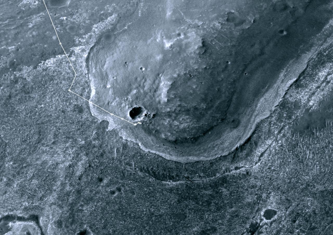
Opportunity First Neighborhood on Rim of Endeavour
2011-09-01 · NASA Image and Video Library
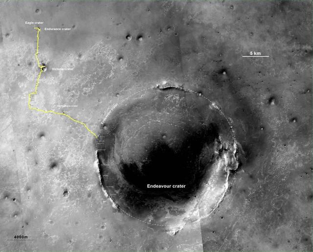
Opportunity Route to Endeavour Crater Wide View
2011-08-05 · NASA Image and Video Library
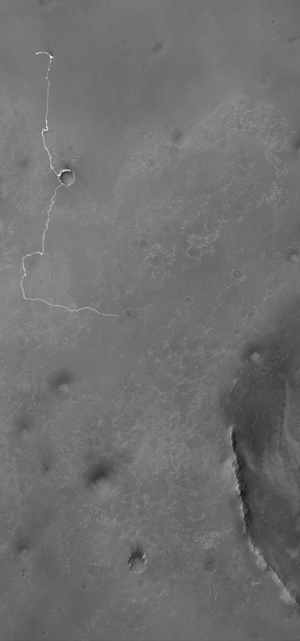
Opportunity Martian Traverse Through Sol 2442
2010-12-10 · NASA Image and Video Library
Opportunity Traverse Map, Sol 2450
2010-12-17 · NASA Image and Video Library
Opportunity Route to Endeavour Crater
2011-08-05 · NASA Image and Video Library
Opportunity Journey Exceeds 25 Miles
2014-07-28 · NASA Image and Video Library
Opportunity Heads Toward Next Destination, Solander Point
2013-05-17 · NASA Image and Video Library