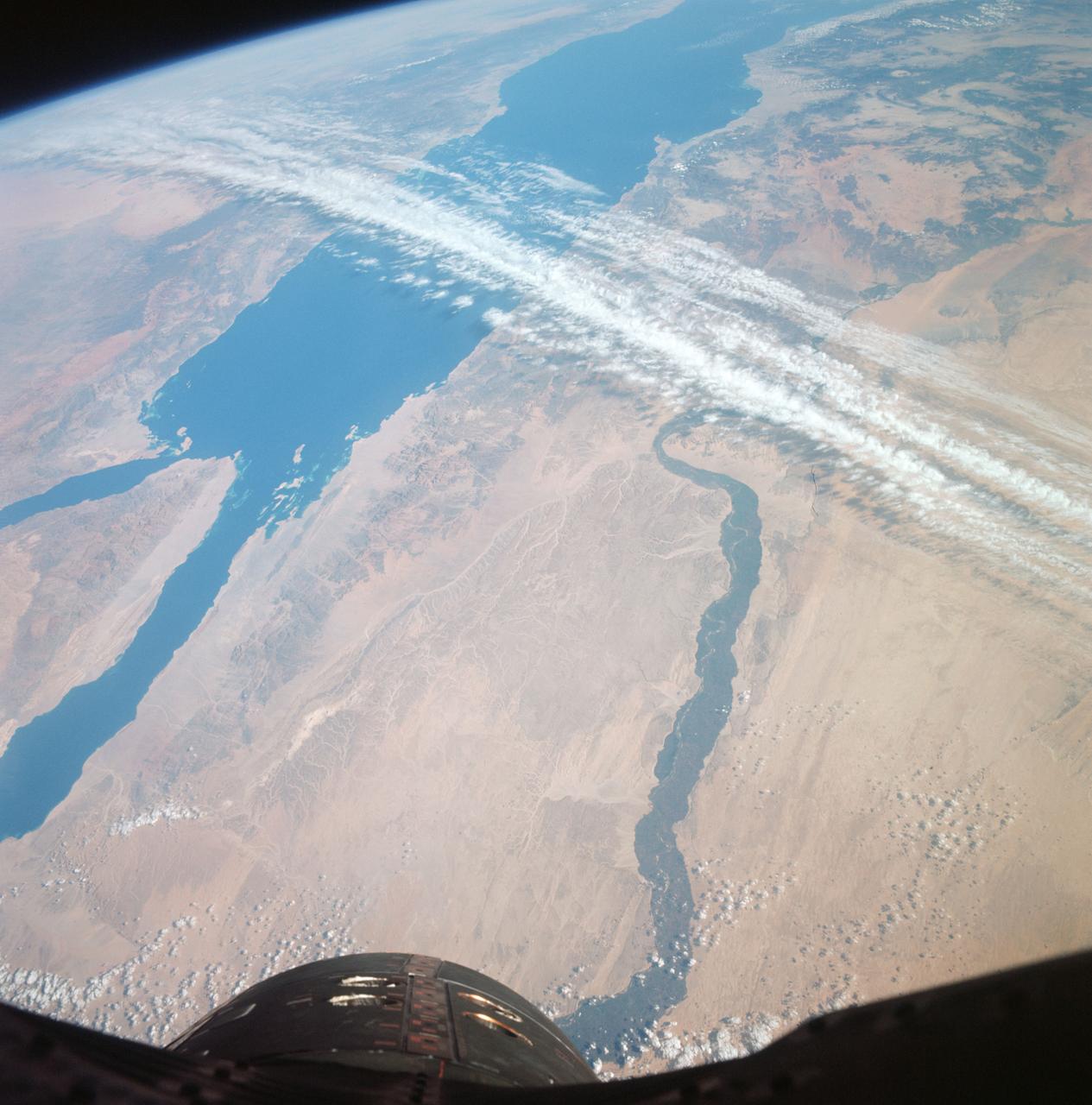
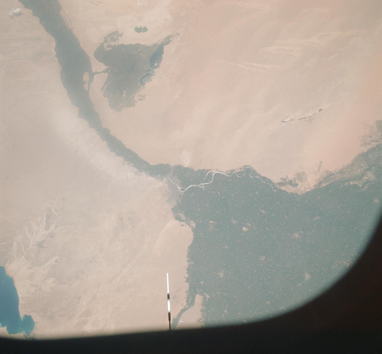
GT-12 - EARTH SKY - UNITED ARAB REPUBLIC (EGYPT)
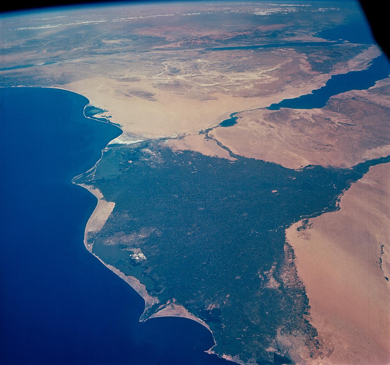
S66-63533 (14 Nov. 1966) --- United Arab Republic (Egypt) area as seen from the Gemini-12 spacecraft during its 39th revolution of Earth, looking southeast. Nile River is in center of picture. At bottom center is the Sinai Peninsula. Arabian Peninsula is at lower left. Large body of water is Red Sea. Gulf of Aqaba is on east side of Sinai Peninsula. Gulf of Suez separates Sinai from Egyptian mainland. Photo credit: NASA
- Date
- 1966-11-14
- Collection
- JSC
- Archive
- NASA Image and Video Library
- Type
- photograph
Public domainsafest
Reason: a NASA work: not copyrighted in the United States.
Read from: NASA media usage guidelines: NASA material is not copyrighted in the US unless noted; no third-party credit or mark found.
Credit line
"GT-12 - EARTH SKY - UNITED ARAB REPUBLIC (EGYPT)" (1966-11-14). NASA/JSC. Public domain. https://images.nasa.gov/details/s66-63533Need photos for a whole script? Add Find Any Photo to Claude and ask for this one by its id: 14959.
More like this
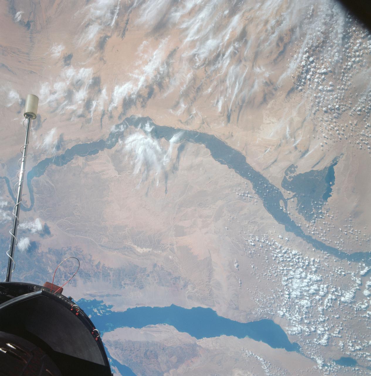
Egypt, Nile Valley, Gulf of Suez, Sinai as seen from Gemini 12 spacecraft
1966-11-13 · NASA Image and Video Library
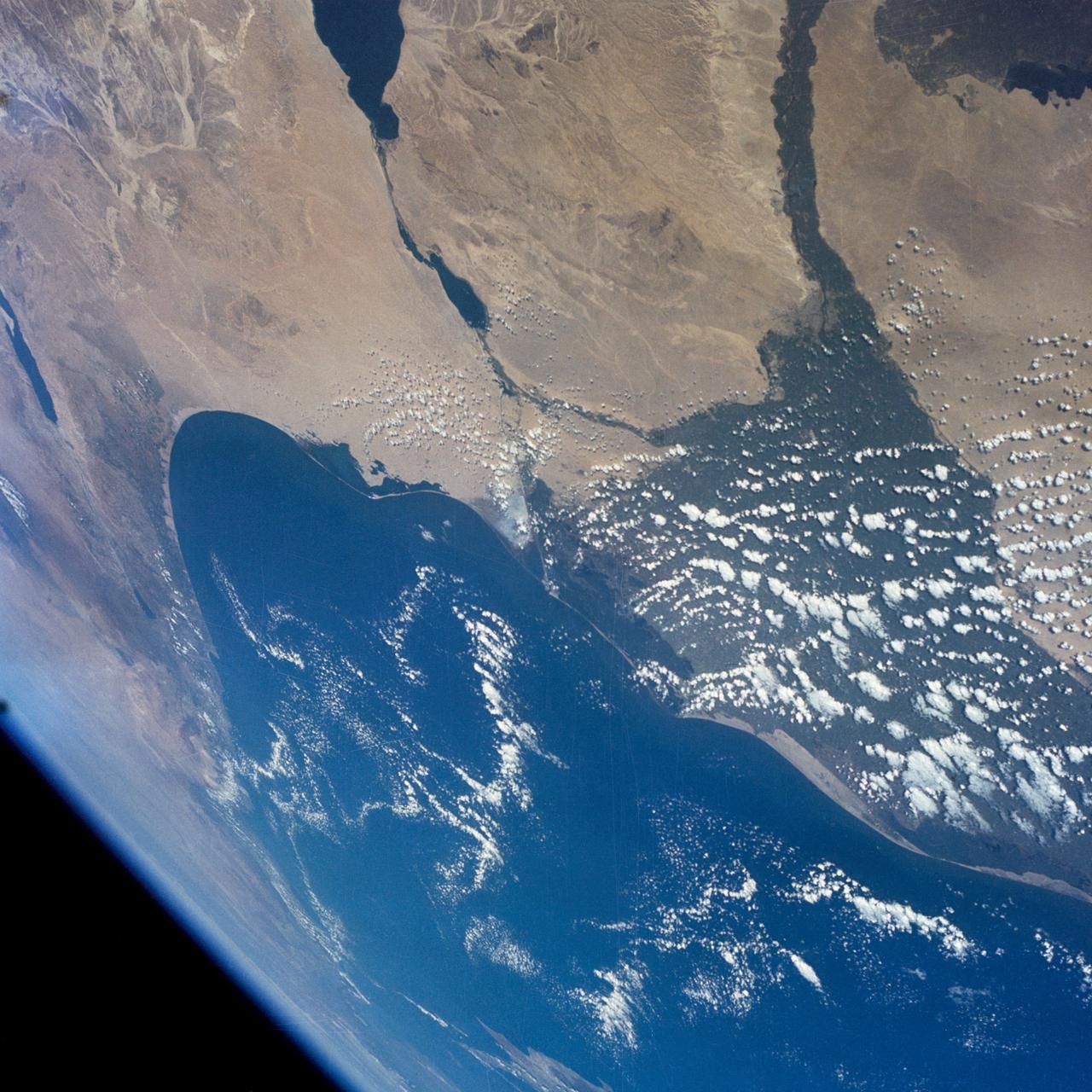
GEMINI-7 - EARTH-SKY VIEW - MIDDLE-EAST AREA - OUTER SPACE
1965-12-08 · NASA Image and Video Library
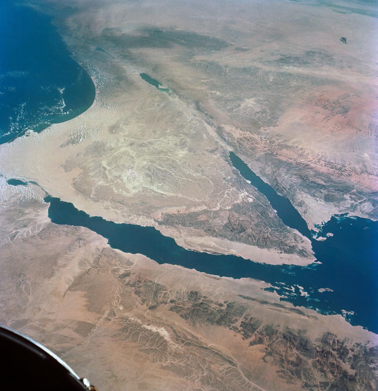
GEMINI-TITAN (GT)-11 - EARTH SKY - OVERLAY - SINAI PENINSULA - POINTS OF INTEREST - OUTER SPACE
1966-09-14 · NASA Image and Video Library
GEMINI-TITAN (GT)-4 - EARTH-SKY - OUTER SPACE
1965-06-03 · NASA Image and Video Library
GEMINI-TITAN (GT)-11 - HIGH APOGEE - EARTH SKY
1966-09-14 · NASA Image and Video Library
Suez Canal, Gulf of Suez, Sinai Peninsula, Egypt, as seen from the Apollo 7
1968-10-12 · NASA Image and Video Library
GT-9A - EARTH SKY - SOUTHERN TIP OF RED SEA AREA
1966-06-06 · NASA Image and Video Library
Vertical view of Arab Republic of Egypt from ASTP mission
1975-07-19 · NASA Image and Video Library