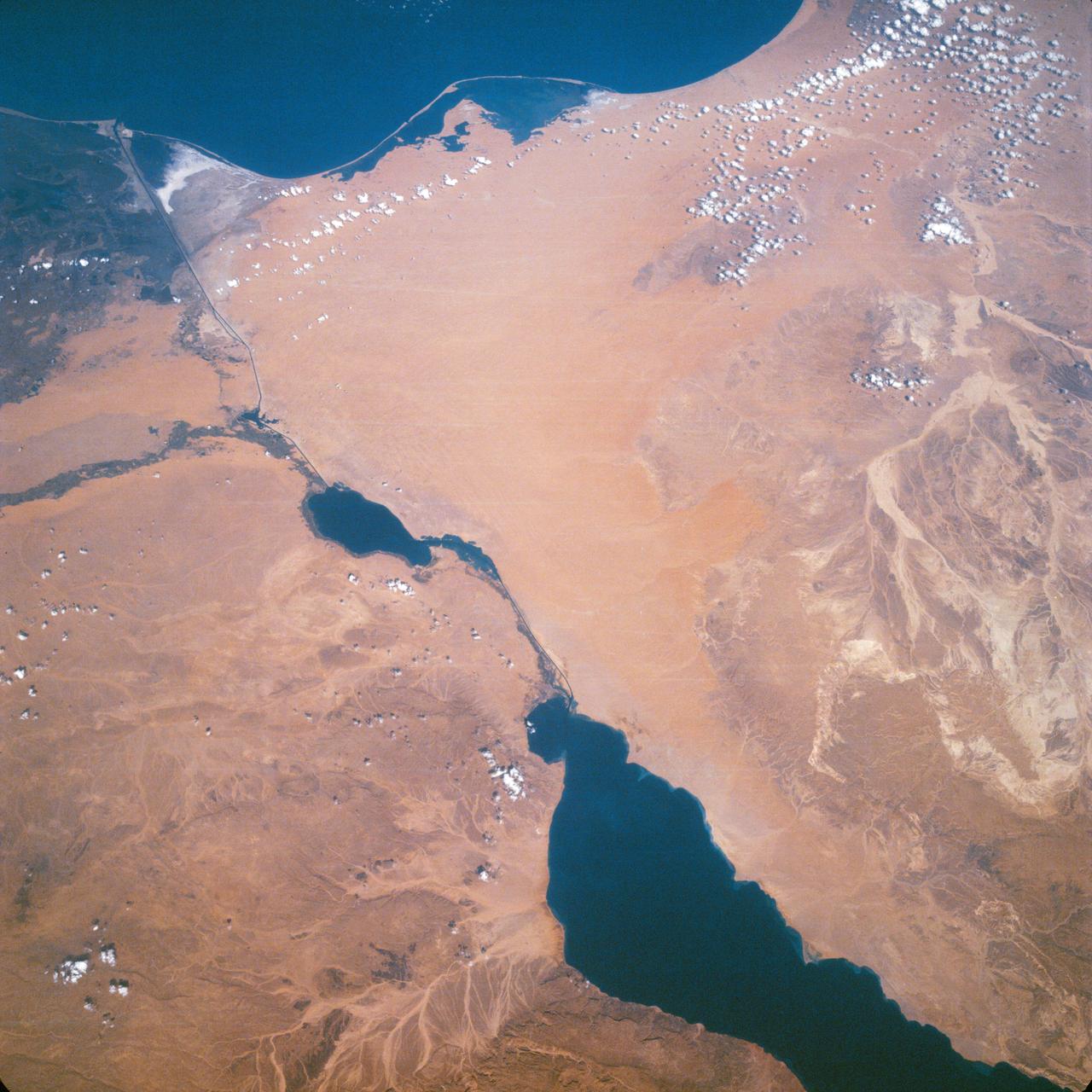
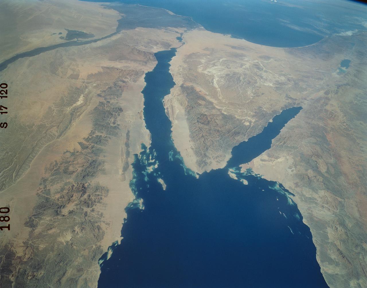
Suez Canal, Gulf of Suez, Sinai Peninsula, Egypt, as seen from the Apollo 7
Suez Canal, Gulf of Suez, Sinai Peninsula, United Arab Republic (Egypt), Mediterranean Sea, as seen from the Apollo 7 spacecraft during its 13th revolution of the earth. Photographed from an altitude of 126 nautical miles, at ground elapsed time of 19 hours and 42 minutes.
- Date
- 1968-10-12
- Collection
- JSC
- Archive
- NASA Image and Video Library
- Type
- photograph
Public domainsafest
Reason: a NASA work: not copyrighted in the United States.
Read from: NASA media usage guidelines: NASA material is not copyrighted in the US unless noted; no third-party credit or mark found.
Credit line
"Suez Canal, Gulf of Suez, Sinai Peninsula, Egypt, as seen from the Apollo 7" (1968-10-12). NASA/JSC. Public domain. https://images.nasa.gov/details/as07-11-2008Need photos for a whole script? Add Find Any Photo to Claude and ask for this one by its id: 15533.
More like this
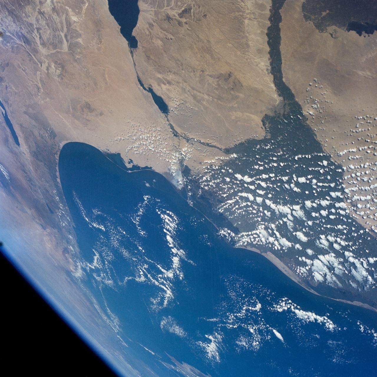
GEMINI-7 - EARTH-SKY VIEW - MIDDLE-EAST AREA - OUTER SPACE
1965-12-08 · NASA Image and Video Library
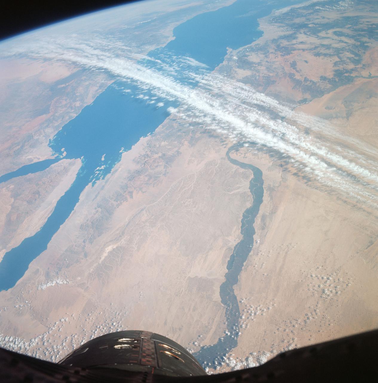
GT-12 - EARTH SKY - UNITED ARAB REPUBLIC (EGYPT)
1966-11-14 · NASA Image and Video Library
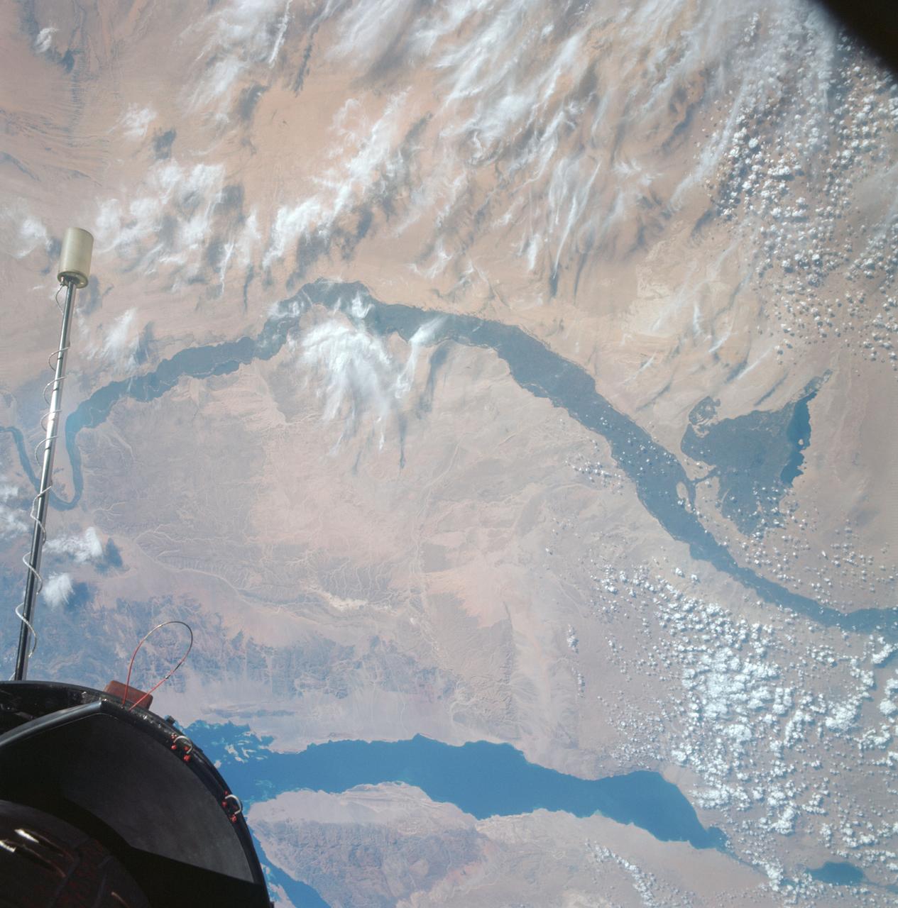
Egypt, Nile Valley, Gulf of Suez, Sinai as seen from Gemini 12 spacecraft
1966-11-13 · NASA Image and Video Library
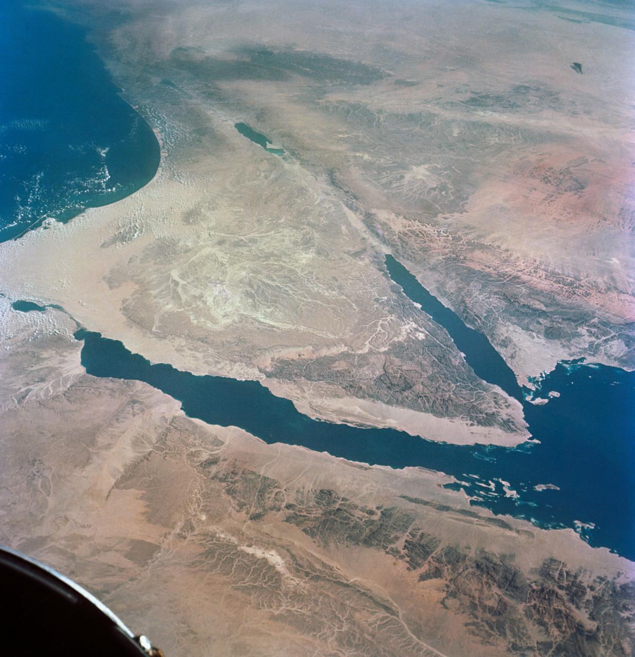
GEMINI-TITAN (GT)-11 - EARTH SKY - OVERLAY - SINAI PENINSULA - POINTS OF INTEREST - OUTER SPACE
1966-09-14 · NASA Image and Video Library
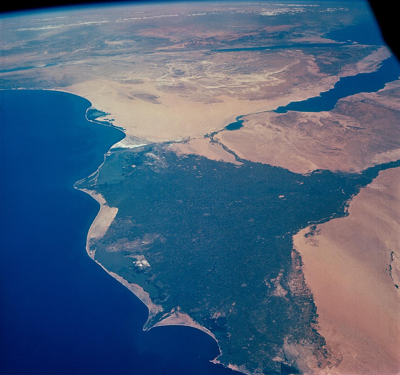
GEMINI-TITAN (GT)-4 - EARTH-SKY - OUTER SPACE
1965-06-03 · NASA Image and Video Library
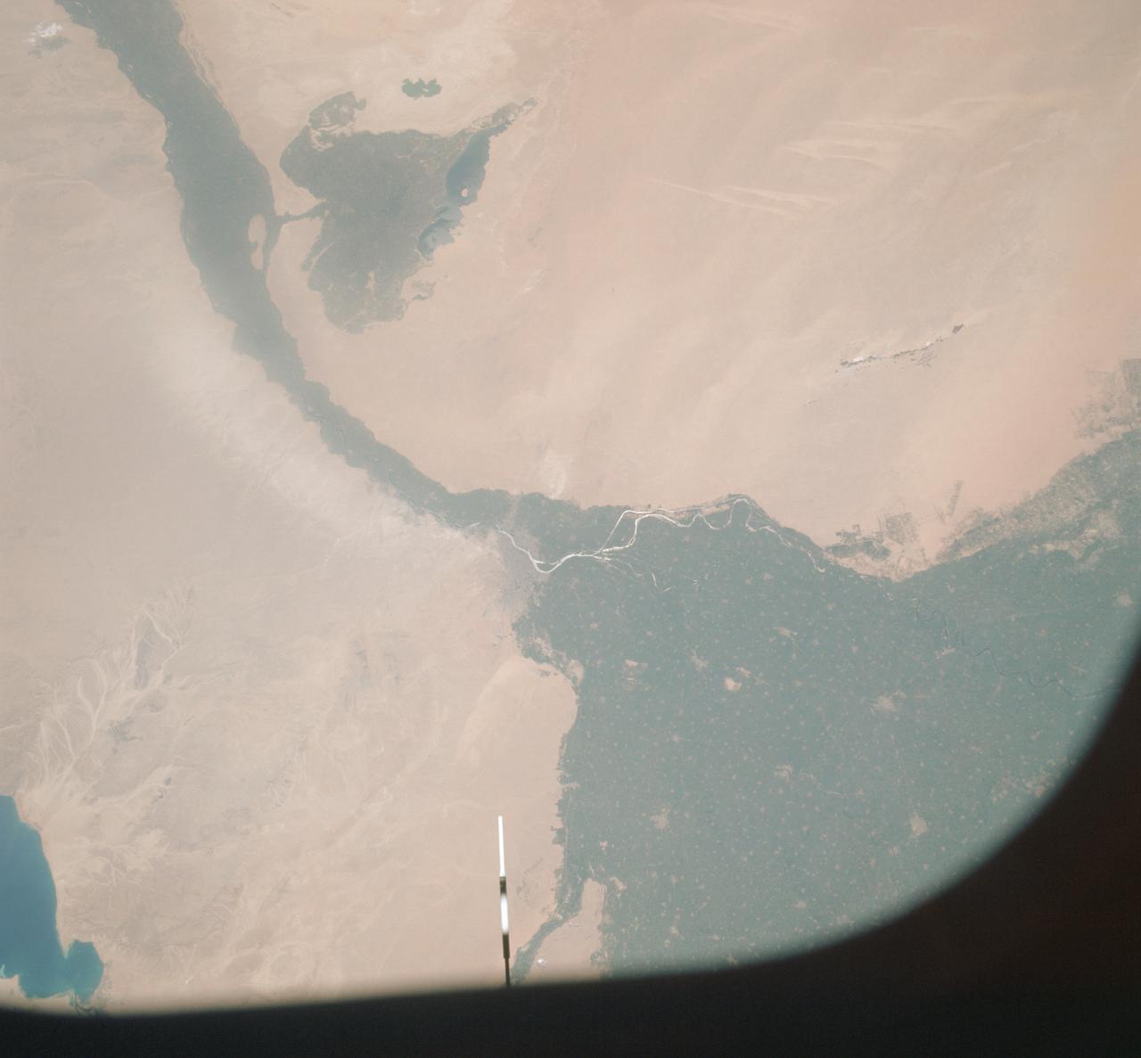
Vertical view of Arab Republic of Egypt from ASTP mission
1975-07-19 · NASA Image and Video Library
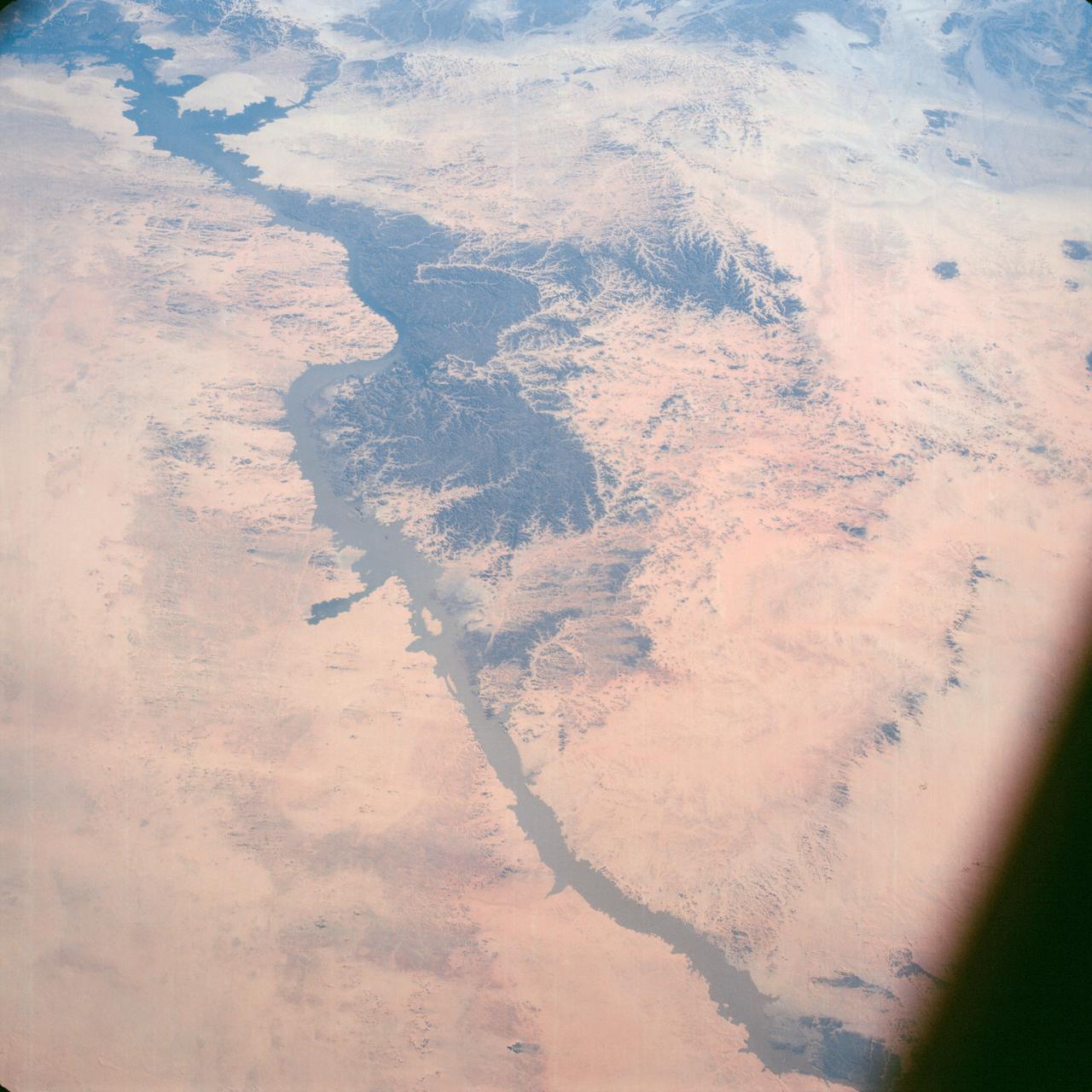
Lake Nasser on Nile River in Egypt as seen from the Apollo 7 spacecraft
1968-10-12 · NASA Image and Video Library
Panoramic Sinai Peninsula, Red Sea
1984-10-13 · NASA Image and Video Library