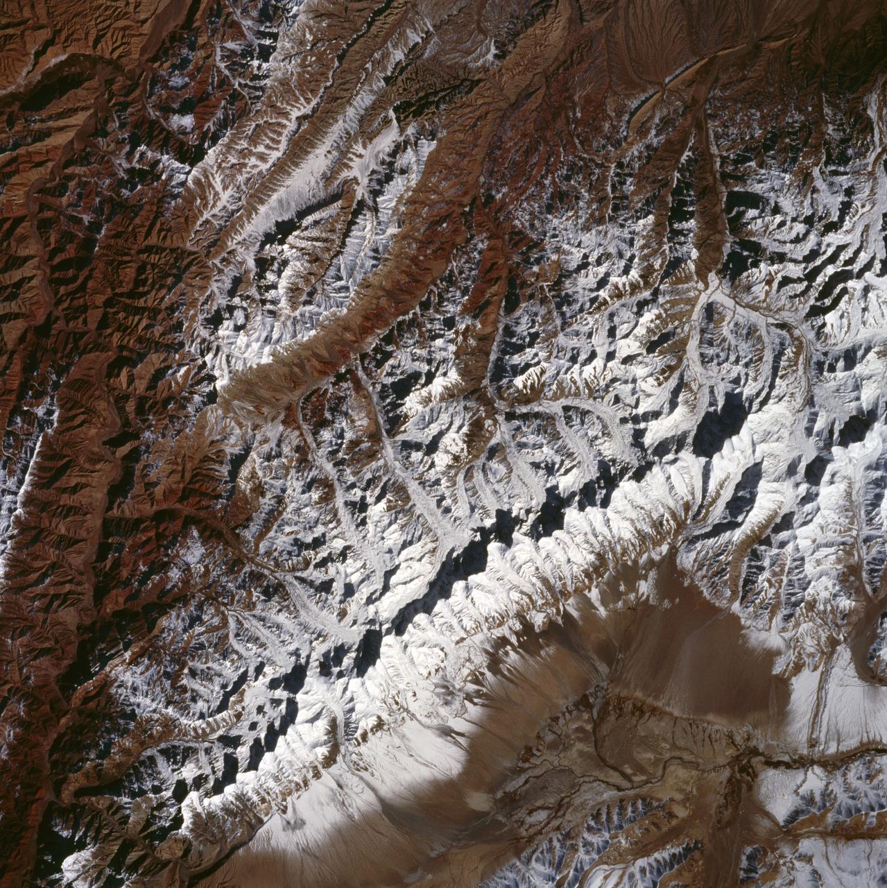
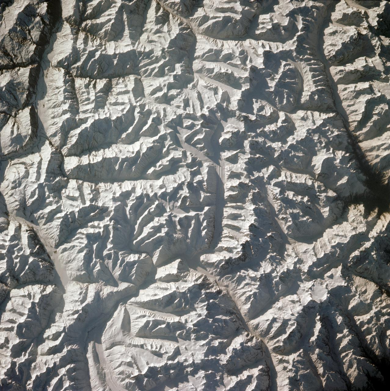
King Ata Tag Mountain Range, western China as seen by STS-66 Atlantis
The northwest-southeast trending, snow-covered, linear mountain range is the King Ata Tag Mountain, located in extreme western most China. Highest peaks are just over 20,100 feet above sea level. The town or village of Muji is located in the largest river valley that is south of this range of mountains. This area includes part of the country of Tajikistan. The center point of the photo is approximately 39.30 degrees north and 74.30 degrees easth.
- Date
- 1994-11-14
- Collection
- JSC
- Archive
- NASA Image and Video Library
- Type
- photograph
Public domainsafest
Reason: a NASA work: not copyrighted in the United States.
Read from: NASA media usage guidelines: NASA material is not copyrighted in the US unless noted; no third-party credit or mark found.
Credit line
"King Ata Tag Mountain Range, western China as seen by STS-66 Atlantis" (1994-11-14). NASA/JSC. Public domain. https://images.nasa.gov/details/sts066-107-010Need photos for a whole script? Add Find Any Photo to Claude and ask for this one by its id: 14976.
More like this
STS-56 Earth observation of Karakorum Range of north India
1993-04-17 · NASA Image and Video Library
Pakistan as seen from STS-58
1993-10-20 · NASA Image and Video Library
Himalayas as seen from STS-66 shuttle Atlantis
1994-11-14 · NASA Image and Video Library
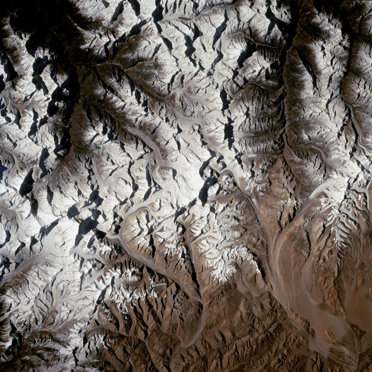
Mount Everest region as seen from the STS-66 orbiter Atlantis
1994-11-14 · NASA Image and Video Library
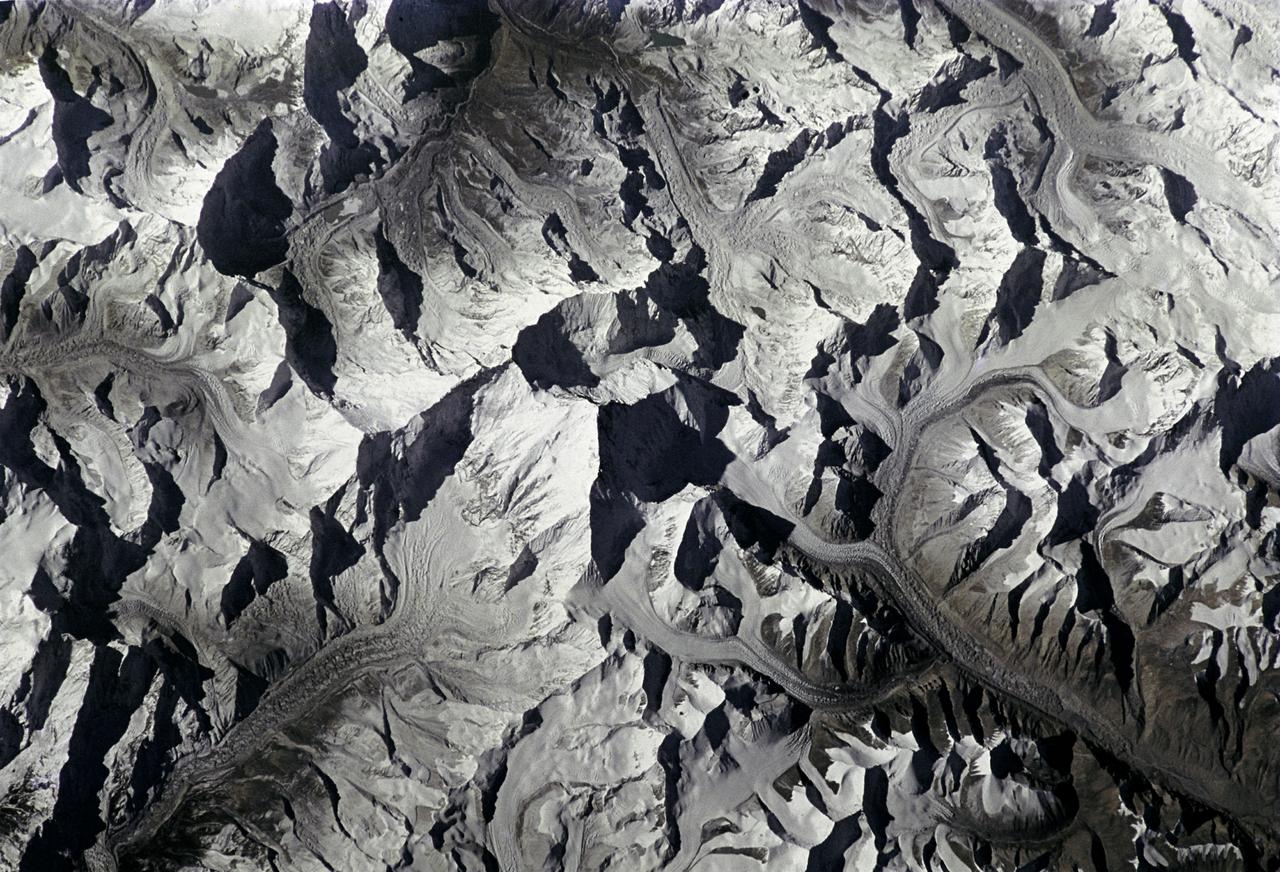
Mt. Everest as seen from STS-66 shuttle Atlantis
1994-11-14 · NASA Image and Video Library
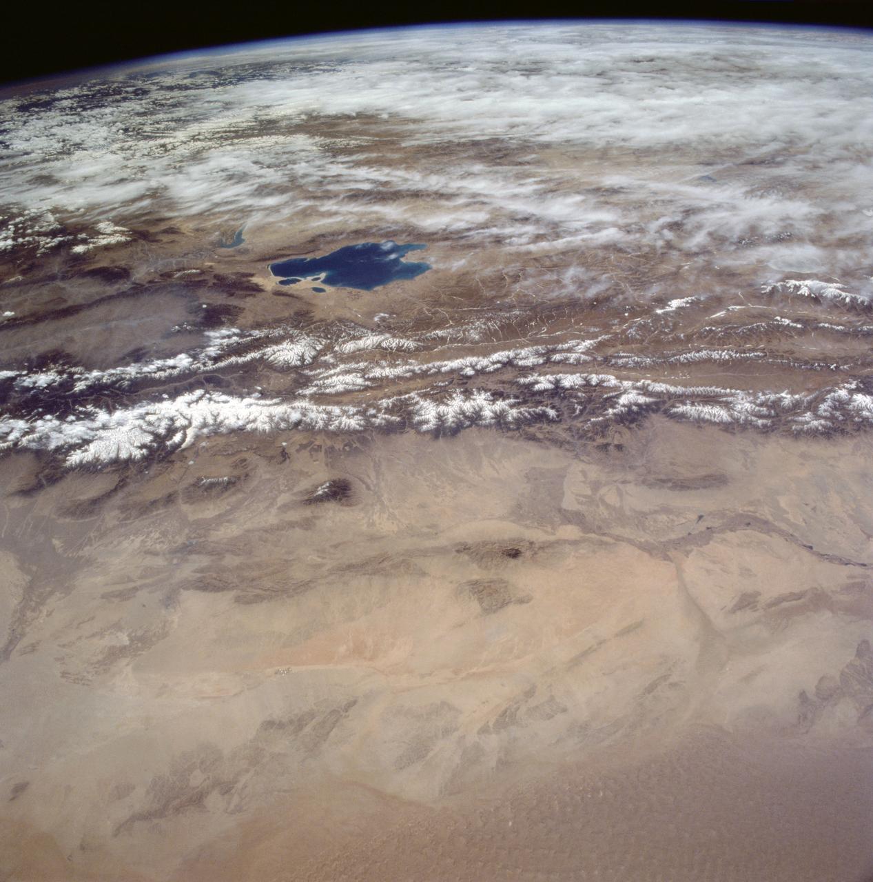
Gobi Desert, China as seen from STS-59
1994-04-14 · NASA Image and Video Library
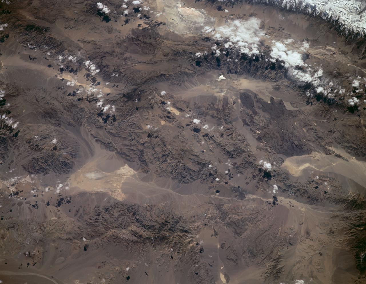
Sierra Nevada, California as seen from STS-59
1994-04-14 · NASA Image and Video Library
Himalayan Mountain Range
1981-04-14 · NASA Image and Video Library