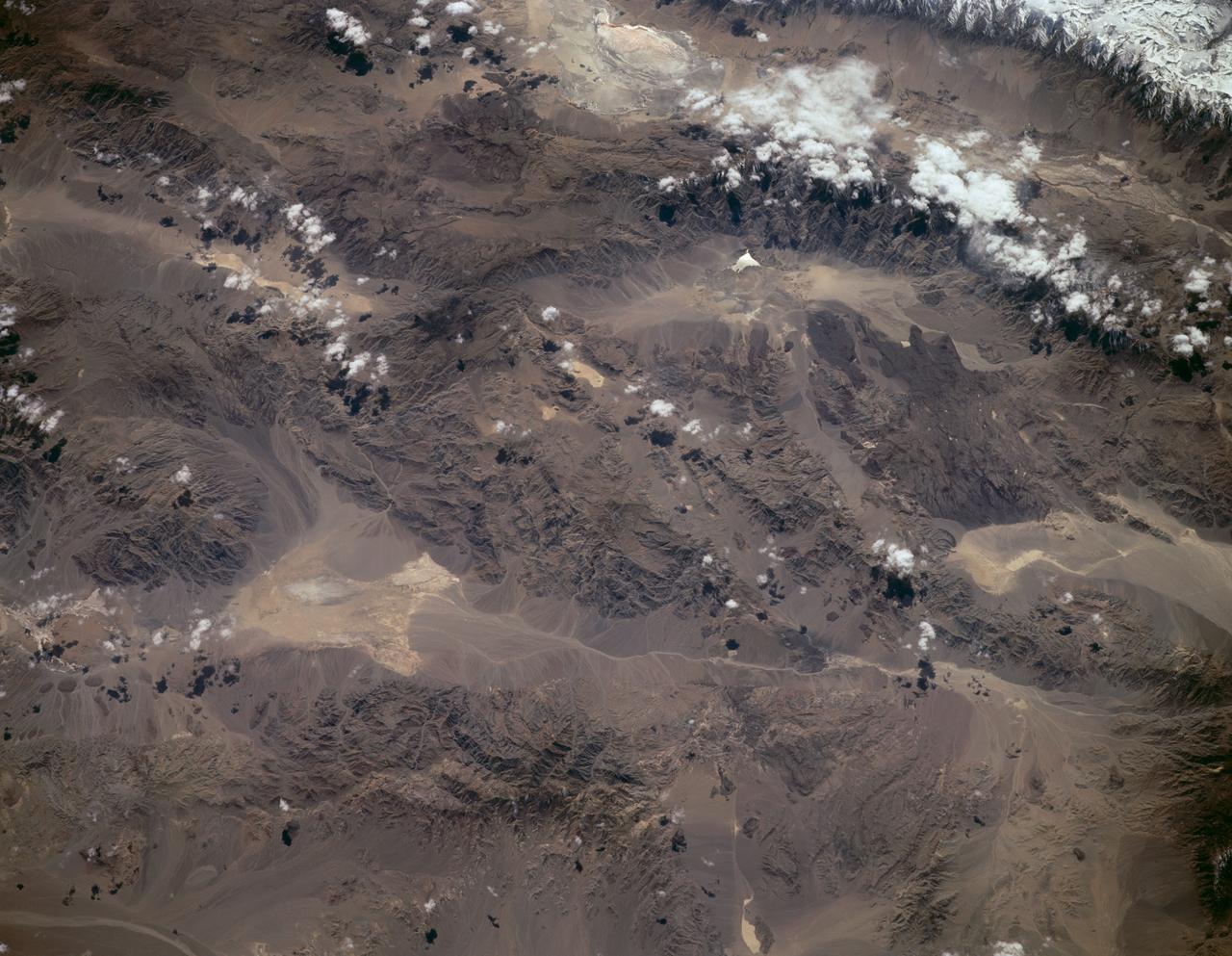
Sierra Nevada, California as seen from STS-59
STS059-L09-162 (9-20 April 1994) --- Orient with the snow-covered mountains (Sierra Nevada of California) in the upper right corner. Then Owens Valley runs along the top of the photograph to Owens Lake playa at top center. The upper end of Death Valley extends from right to left in the foreground, with the drainage running down to a playa at Stovepipe Wells in the left foreground. Geologists are studying microwave signatures of the different playa surfaces, and the coatings on alluvial fans that extend from mountain masses, to try to sort out the history of different climates in this formerly wet but now hyperarid region.
- Date
- 1994-04-14
- Collection
- JSC
- Archive
- NASA Image and Video Library
- Type
- photograph
Public domainsafest
Reason: a NASA work: not copyrighted in the United States.
Read from: NASA media usage guidelines: NASA material is not copyrighted in the US unless noted; no third-party credit or mark found.
Credit line
"Sierra Nevada, California as seen from STS-59" (1994-04-14). NASA/JSC. Public domain. https://images.nasa.gov/details/sts059-l09-162Need photos for a whole script? Add Find Any Photo to Claude and ask for this one by its id: 15255.
More like this
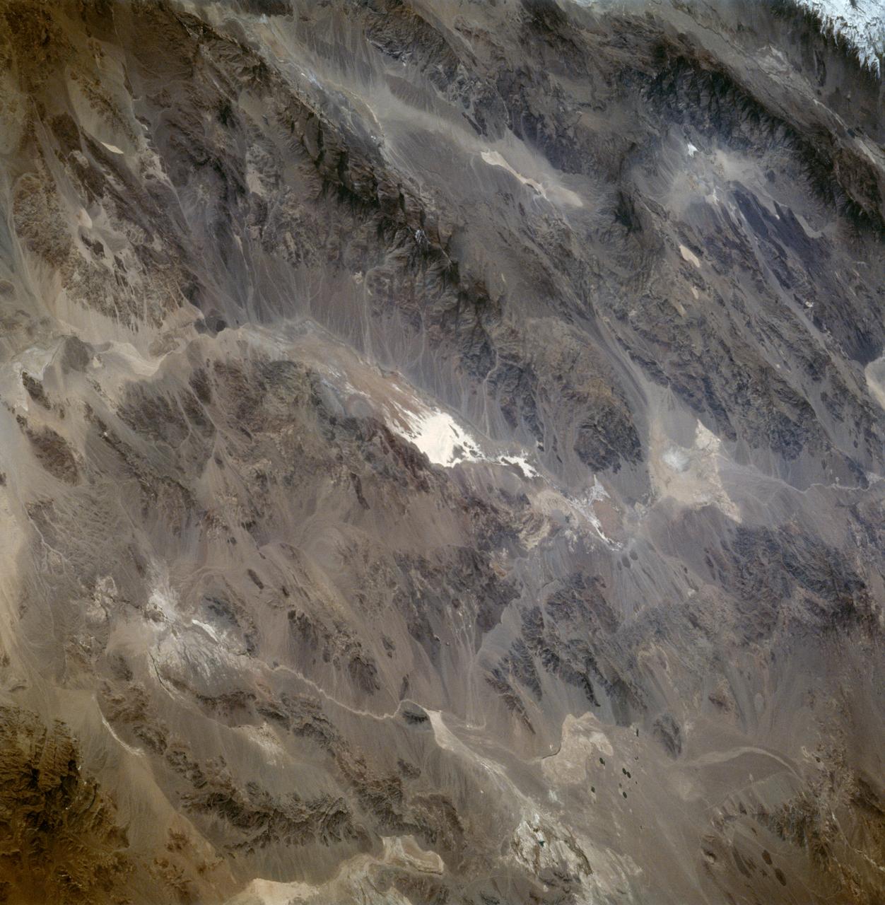
Death Valley California as seen from STS-59
1994-04-13 · NASA Image and Video Library
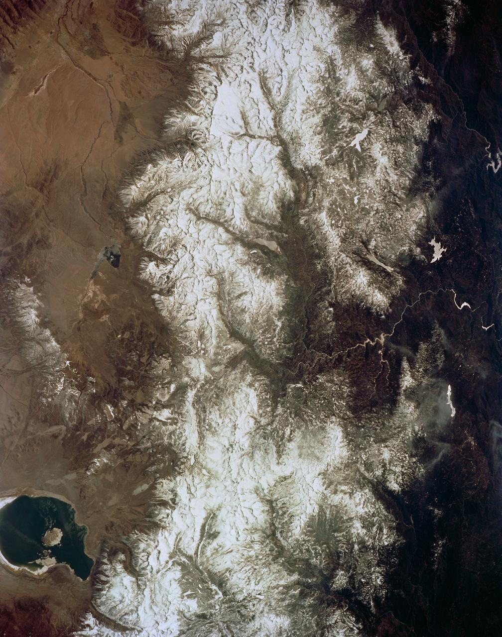
Mono Lake, California as seen from STS-59
1994-04-14 · NASA Image and Video Library
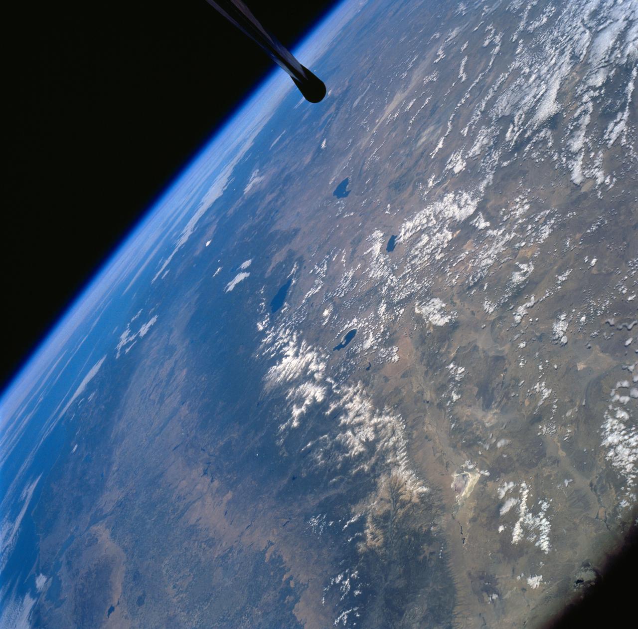
Sierra Nevada Mountain Range as seen from STS-58
1994-10-20 · NASA Image and Video Library
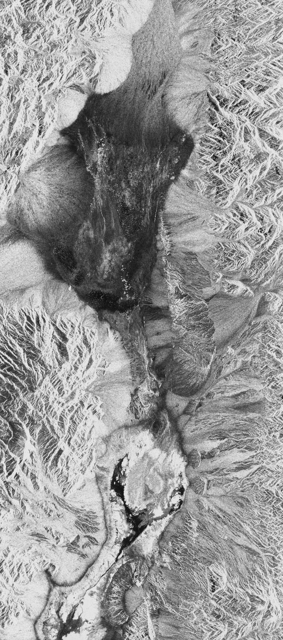
Death Valley, California
1994-04-11 · NASA Image and Video Library

Mojave Desert, California
1981-04-14 · NASA Image and Video Library
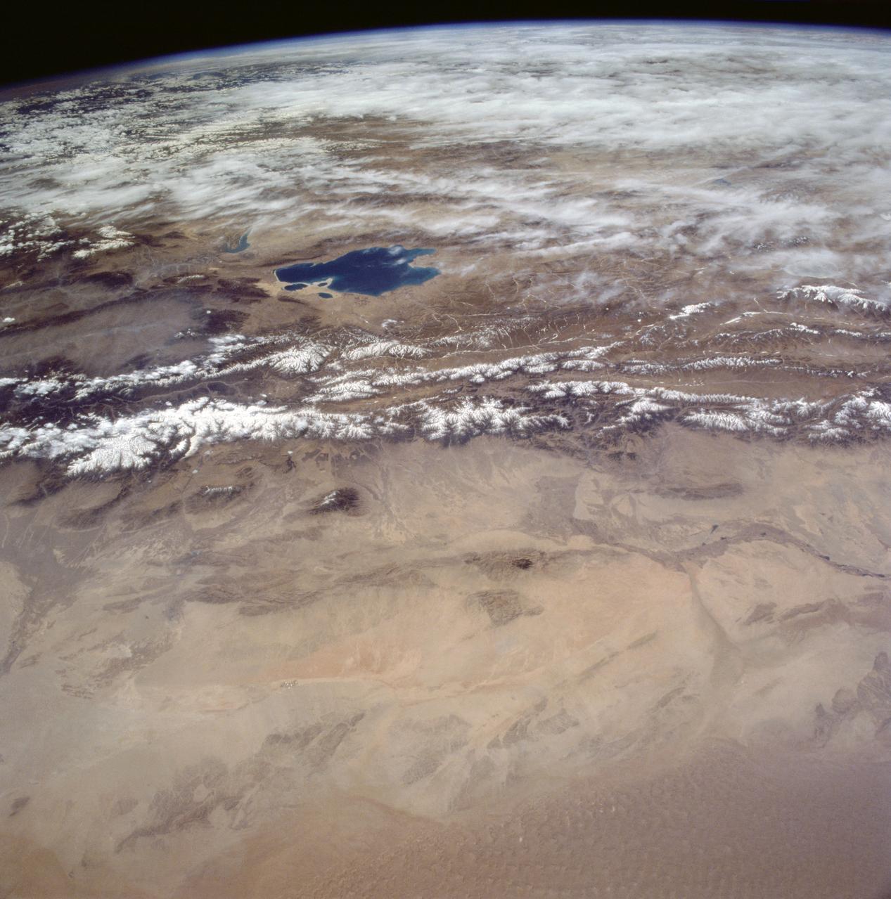
Gobi Desert, China as seen from STS-59
1994-04-14 · NASA Image and Video Library
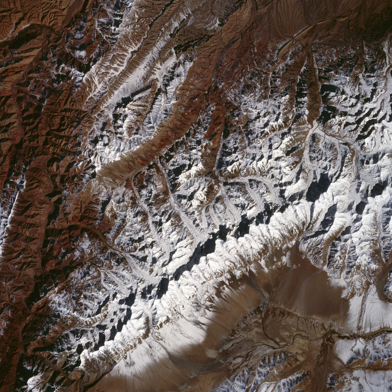
King Ata Tag Mountain Range, western China as seen by STS-66 Atlantis
1994-11-14 · NASA Image and Video Library
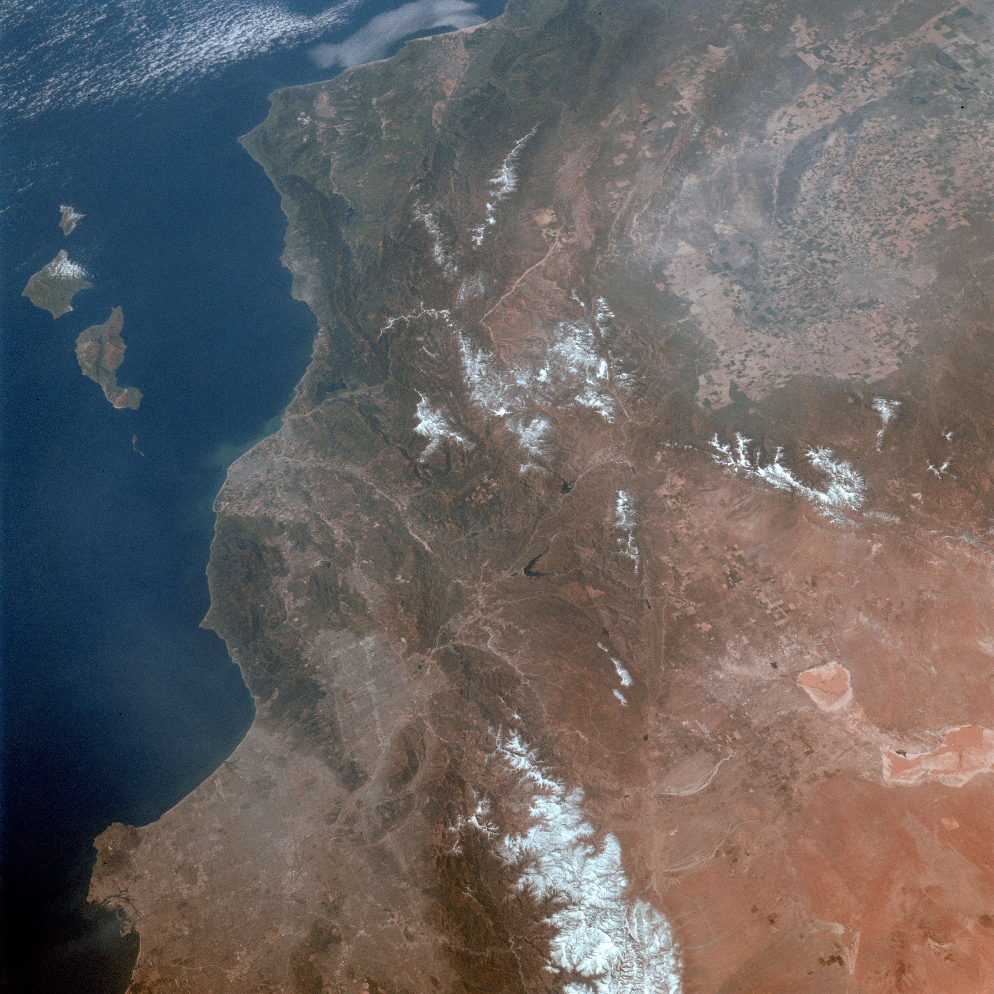
Los Angeles, CA.
1992-03-30 · NASA Image and Video Library