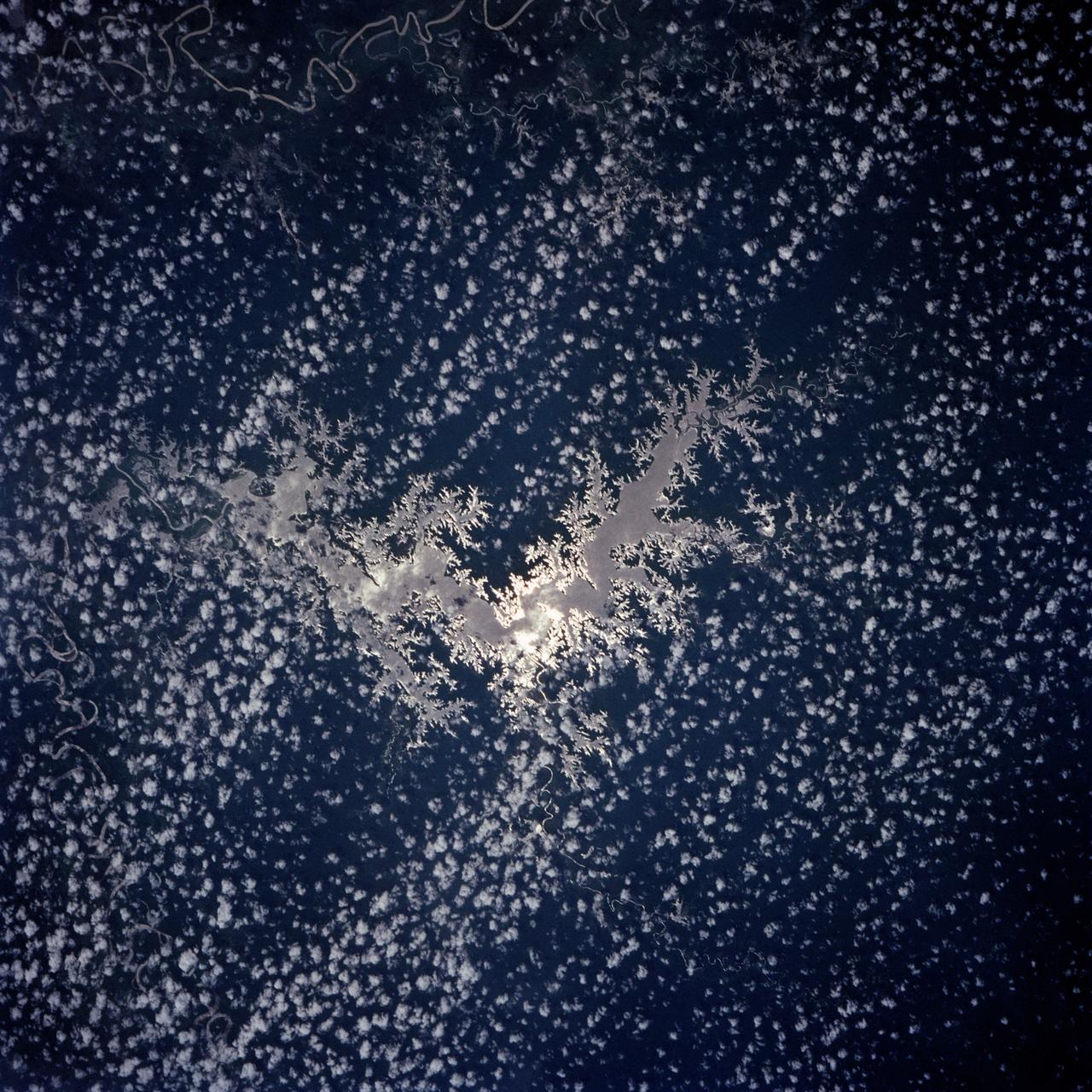
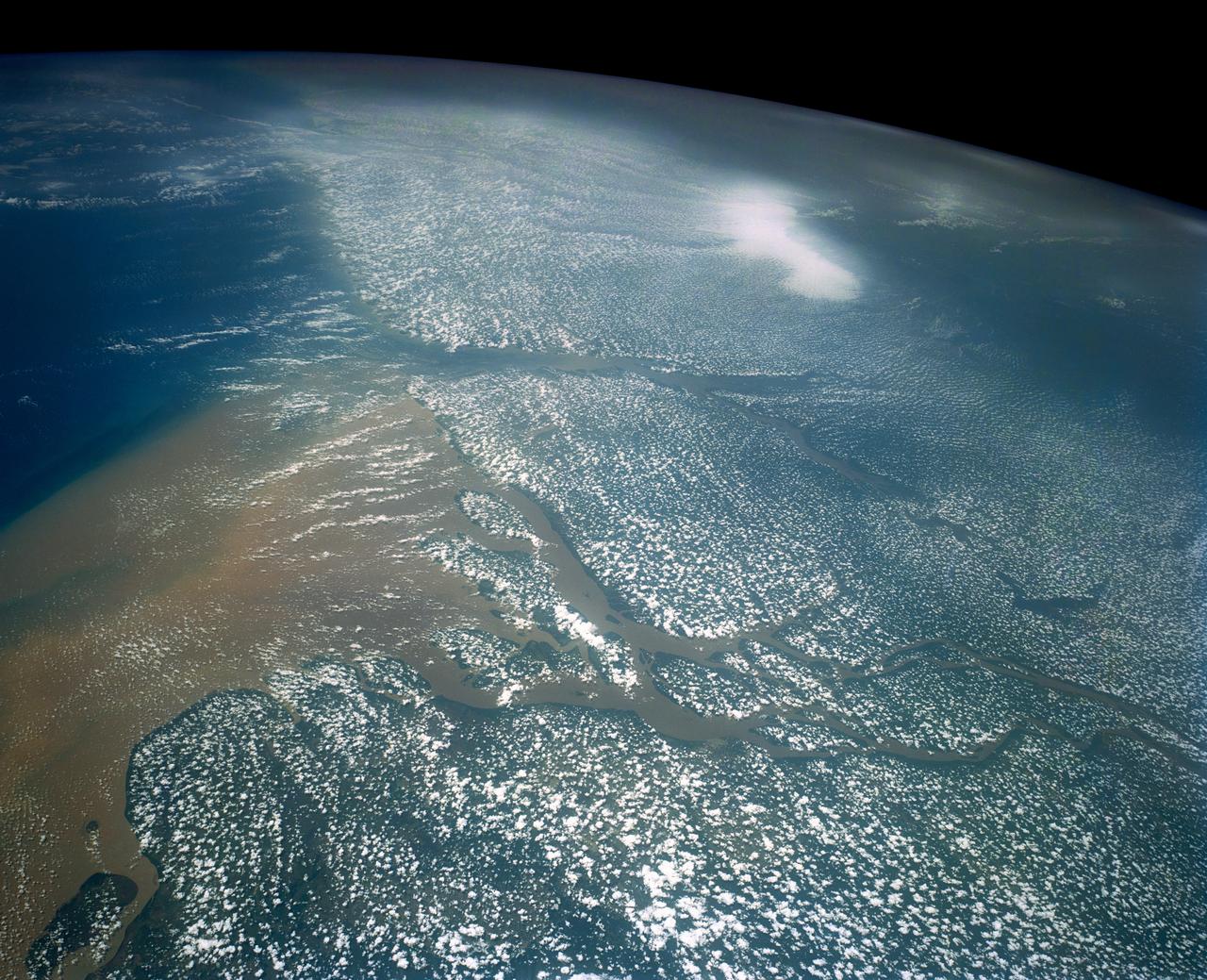
Lake Murray, Fly and Strickland River Basins, Papua, New Guinea
Lake Murray, a manmade reservoir, lies between the Fly and Strickland River Basins, Papua, New Guinea (7.0S, 141.5E). The region, photographed in sunglint, shows the water level in the reservoir and the full extent of the drainage basins of both river systems as the rivers meander through wide alluvial floodplains. Some forest clearing can be seen in places throughout the region, but most of the area remains in closed canopy forest.
- Date
- 1991-12-01
- Collection
- JSC
- Archive
- NASA Image and Video Library
- Type
- photograph
Public domainsafest
Reason: a NASA work: not copyrighted in the United States.
Read from: NASA media usage guidelines: NASA material is not copyrighted in the US unless noted; no third-party credit or mark found.
Credit line
"Lake Murray, Fly and Strickland River Basins, Papua, New Guinea" (1991-12-01). NASA/JSC. Public domain. https://images.nasa.gov/details/s44-93-022Need photos for a whole script? Add Find Any Photo to Claude and ask for this one by its id: 15297.
More like this
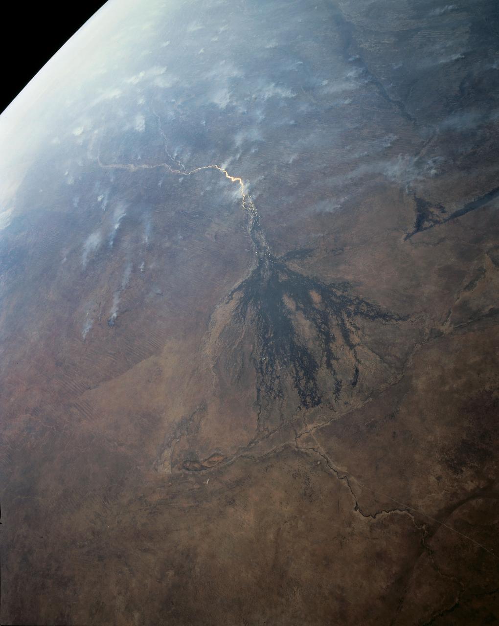
Panoramic Okavango Swamp, Botswana and Fires in Angola, Africa
1991-08-11 · NASA Image and Video Library
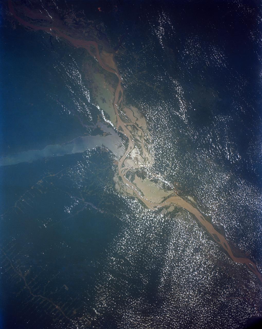
Confluence of the Amazon and Topajos Rivers, Brazil, South America
1991-08-11 · NASA Image and Video Library
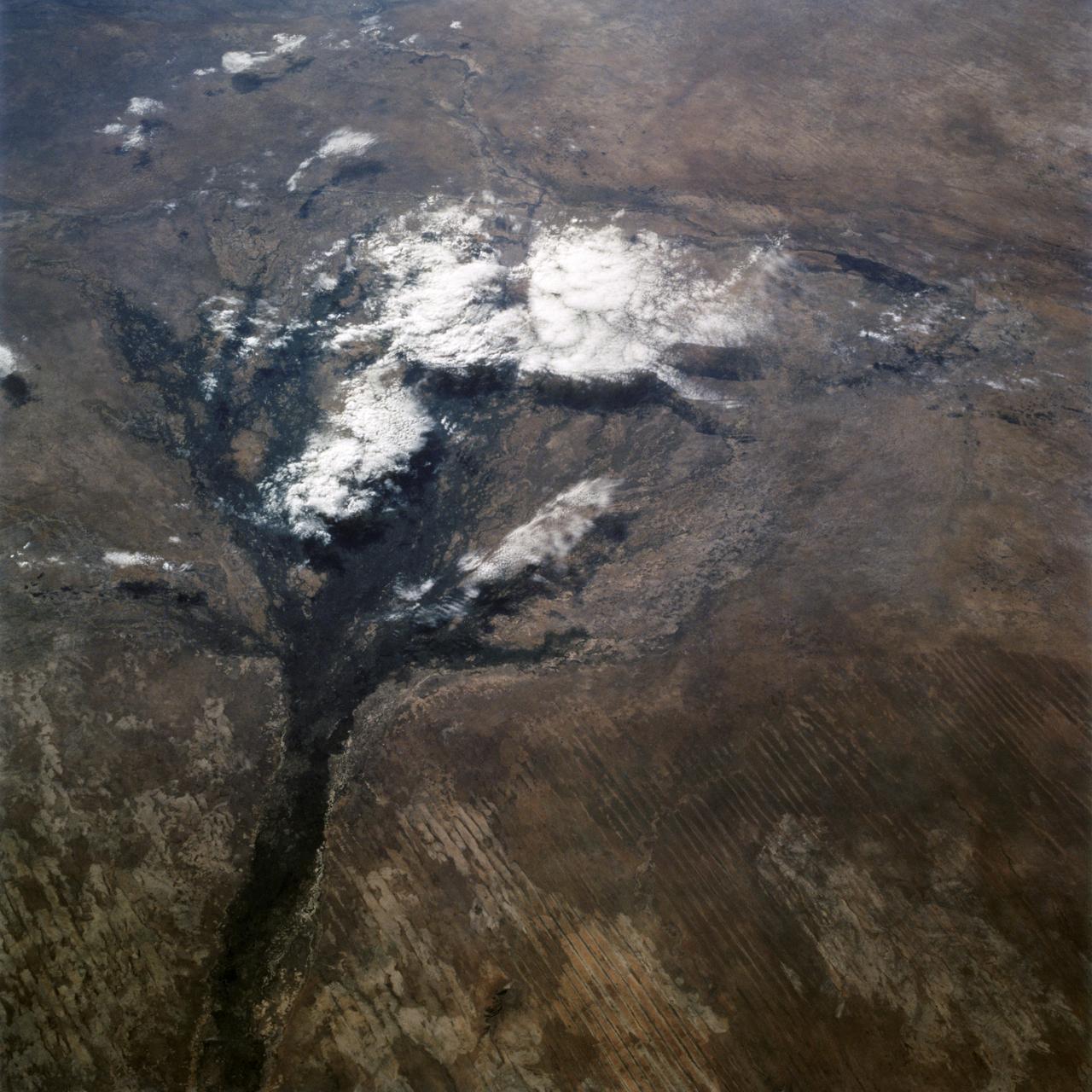
Okavango Delta, Botswana as seen from STS-66 shuttle Atlantis
1994-11-14 · NASA Image and Video Library
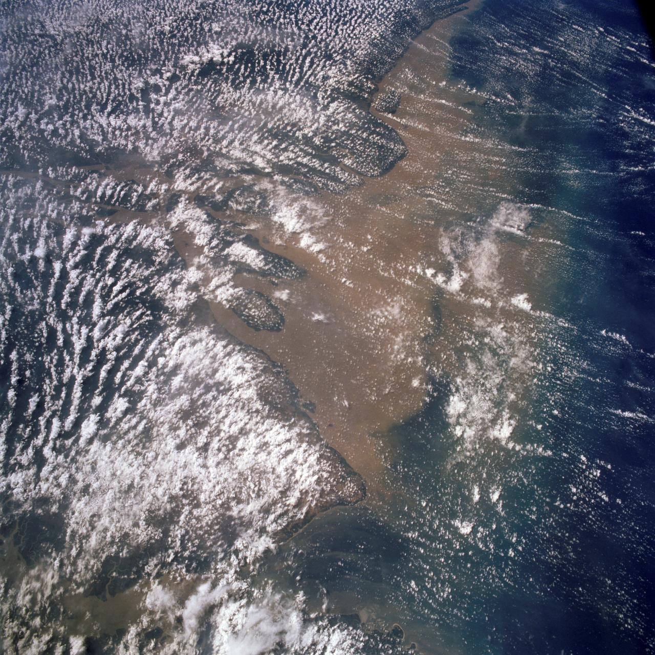
Mouth of the Amazon River as seen from STS-58
1993-10-30 · NASA Image and Video Library
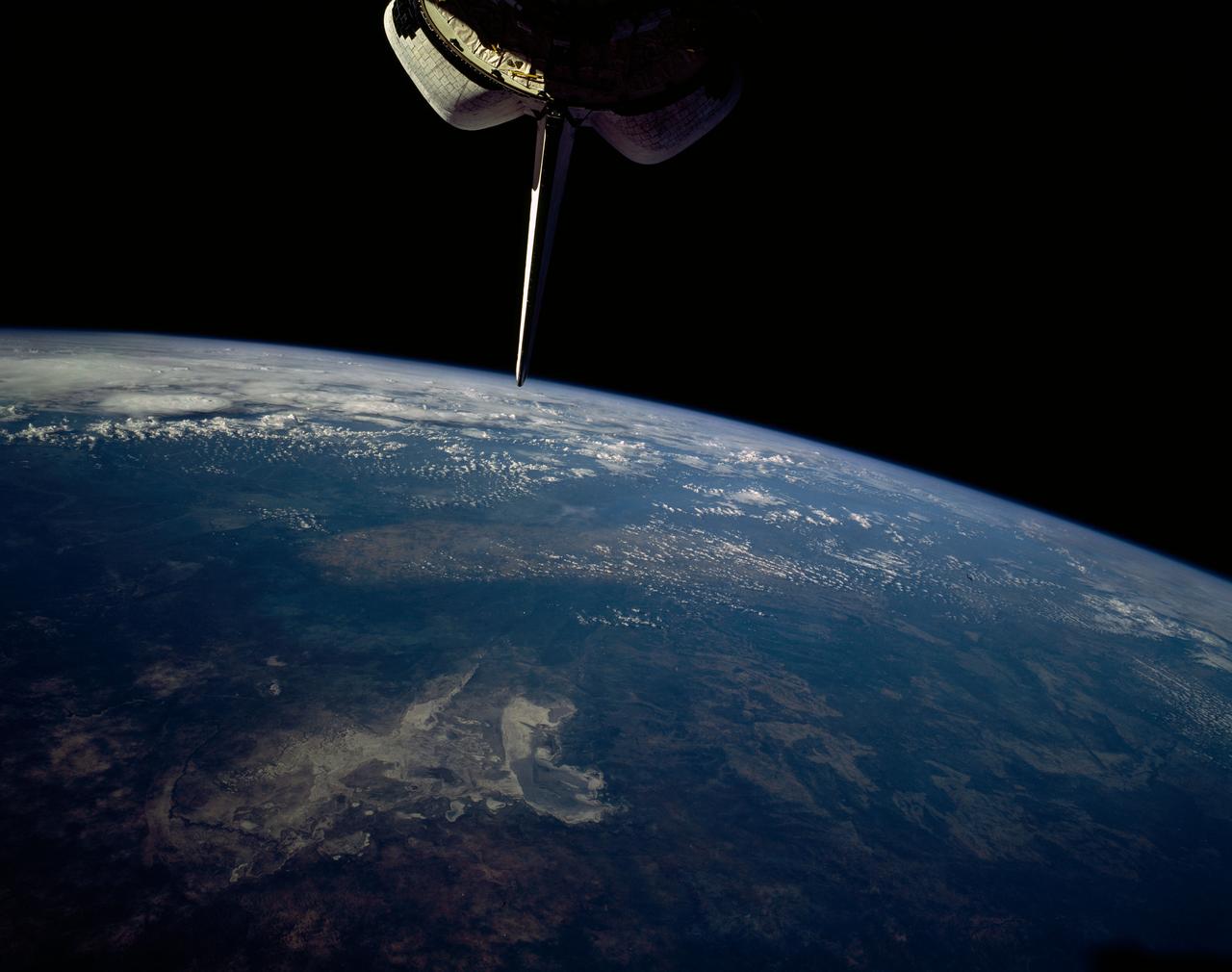
Makgadikgadi Salt Pan, Botswana, Africa
1992-01-19 · NASA Image and Video Library
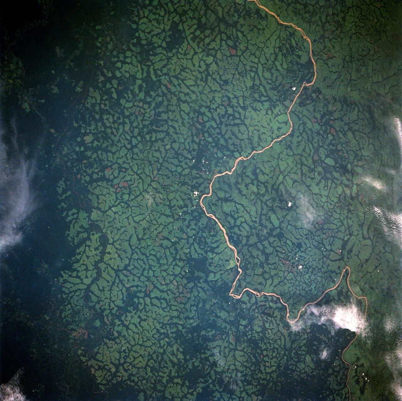
Uele River, Cleared Pasture Lands, Zaire, Africa
1992-05-16 · NASA Image and Video Library
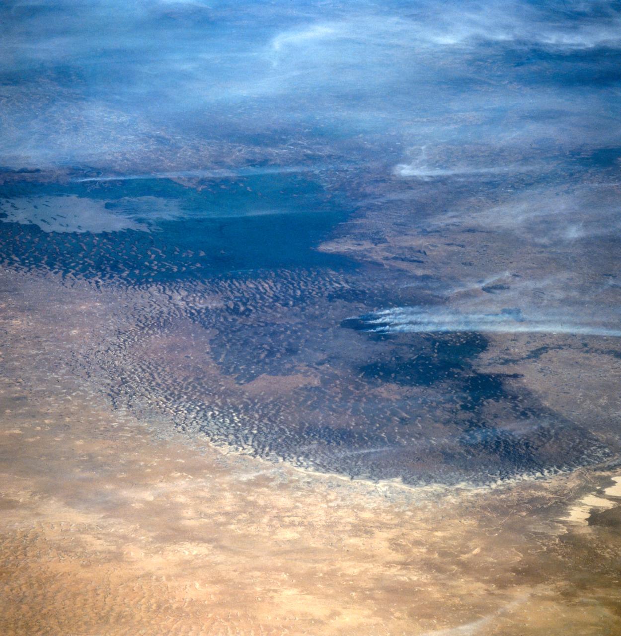
Lake Chad, Chad as seen from STS-66
1994-11-14 · NASA Image and Video Library
Mouths of the Amazon River, Brazil, South America
1991-08-11 · NASA Image and Video Library