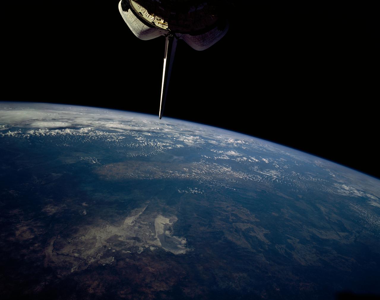
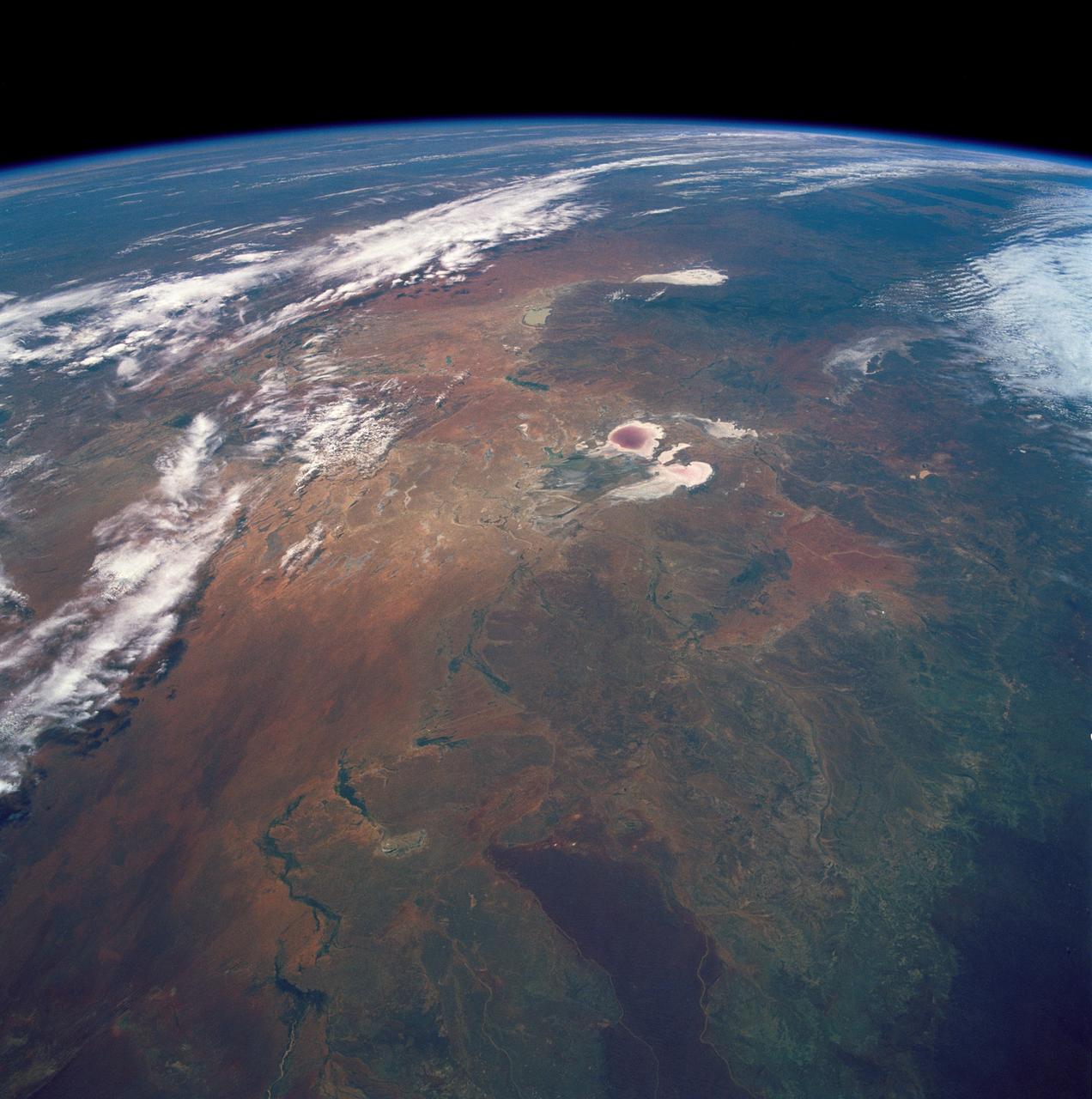
Makgadikgadi Salt Pan, Botswana, Africa
STS054-151-015 (13-19 Jan 1993) --- The Makgadikgadi Salt Pan is one of the largest features in Botswana visible from space. Any water that spills out of the Okavango Swamplands flows down to the Makgadikgadi where it evaporates. An ancient beach line can be seen as a smooth line around the west (left) side of the Pan. Orapa diamond mine can be detected due south of the pan as a small rectangle. The large geological feature known as the Great Dike of Zimbabwe can be seen far right. This large panorama shows clouds in southern Angola, Zambia and Zimbabwe in the distance.
- Date
- 1992-01-19
- Collection
- JSC
- Archive
- NASA Image and Video Library
- Type
- photograph
Public domainsafest
Reason: a NASA work: not copyrighted in the United States.
Read from: NASA media usage guidelines: NASA material is not copyrighted in the US unless noted; no third-party credit or mark found.
Credit line
"Makgadikgadi Salt Pan, Botswana, Africa" (1992-01-19). NASA/JSC. Public domain. https://images.nasa.gov/details/sts054-151-015Need photos for a whole script? Add Find Any Photo to Claude and ask for this one by its id: 15119.
More like this
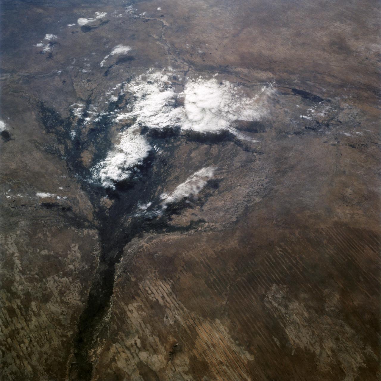
Okavango Delta, Botswana as seen from STS-66 shuttle Atlantis
1994-11-14 · NASA Image and Video Library
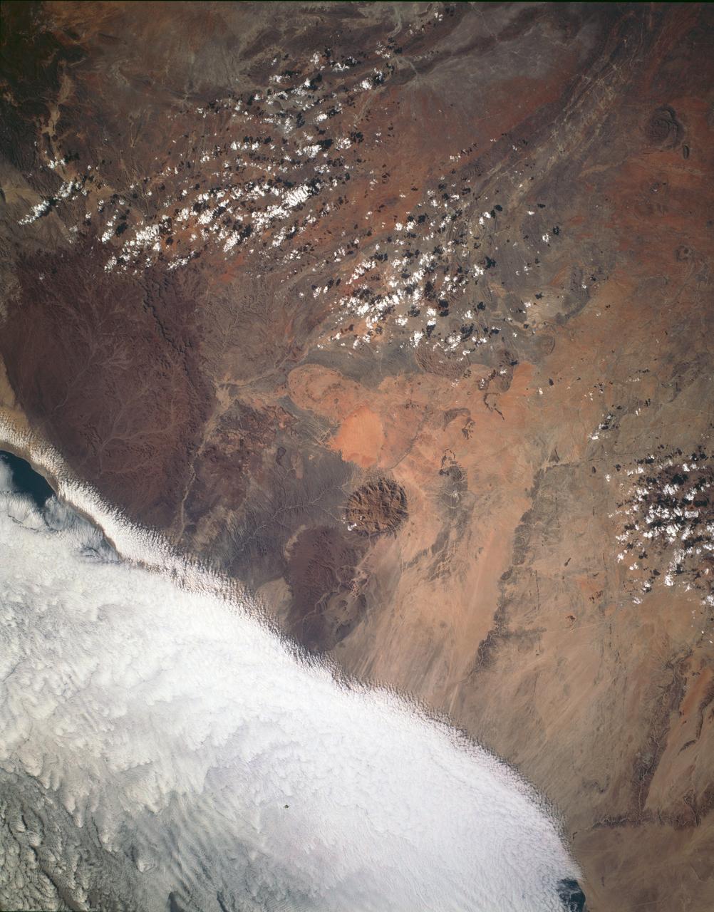
Brandburg Prominance, Namibia, Africa
1993-01-19 · NASA Image and Video Library
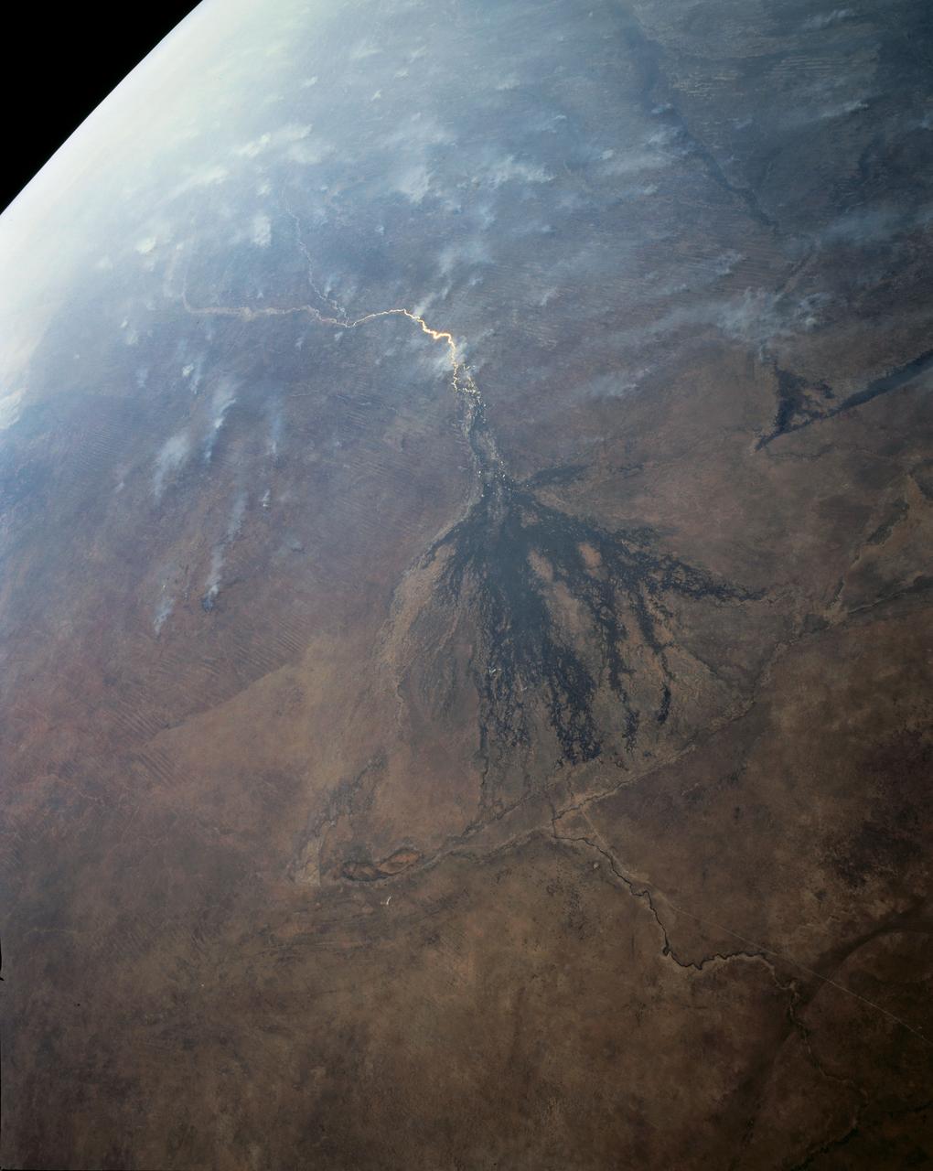
Panoramic Okavango Swamp, Botswana and Fires in Angola, Africa
1991-08-11 · NASA Image and Video Library
Arid Coastal Plain, Southern Somalia, Africa
1993-01-19 · NASA Image and Video Library
Lake Chad, Chad as seen from STS-66
1994-11-14 · NASA Image and Video Library
Dust Storm, Sahara Desert, Algeria/Niger Border, Africa
1992-05-16 · NASA Image and Video Library
Southern Africa as seen from STS-61 Shuttle Endeavour
1993-12-09 · NASA Image and Video Library
Lake Eyre, Simpson Desert, South Australia, Australia
1990-12-10 · NASA Image and Video Library