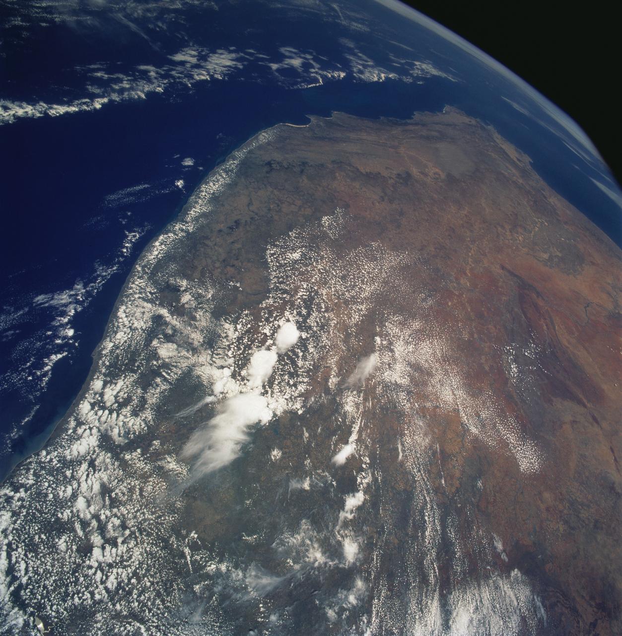
Southern Africa as seen from STS-61 Shuttle Endeavour
STS061-106-091 (December 1993) --- The entire southern tip of Africa is shown in this high altitude 50mm photograph. The center of the photograph is at approximately 28.0 degrees south and 24.0 degrees east Cape Columbine is at the upper right with Durban at the lower center. The Orange River is at the upper center of the frame. Cape Agulas is the southernmost part of the African continent and is visible toward the upper right corner with the great bays of South Africa trending toward the bottom right. Continuing clockwise along the coast, Durban projects out into the Indian Ocean. The oceanic clouds on the right side of the photograph probably depict a current boundary. The Drakensberg Range on the east, the great Karoo Range to the south and the Karas Mountains on the west surround the drier central plateau. The southern Kalahari Desert is at the upper left of the photograph.
- Date
- 1993-12-09
- Collection
- JSC
- Archive
- NASA Image and Video Library
- Type
- photograph
Public domainsafest
Reason: a NASA work: not copyrighted in the United States.
Read from: NASA media usage guidelines: NASA material is not copyrighted in the US unless noted; no third-party credit or mark found.
Credit line
"Southern Africa as seen from STS-61 Shuttle Endeavour" (1993-12-09). NASA/JSC. Public domain. https://images.nasa.gov/details/sts061-106-091Need photos for a whole script? Add Find Any Photo to Claude and ask for this one by its id: 15175.
More like this

Cape Province, South Africa as seen from STS-58
1993-10-30 · NASA Image and Video Library
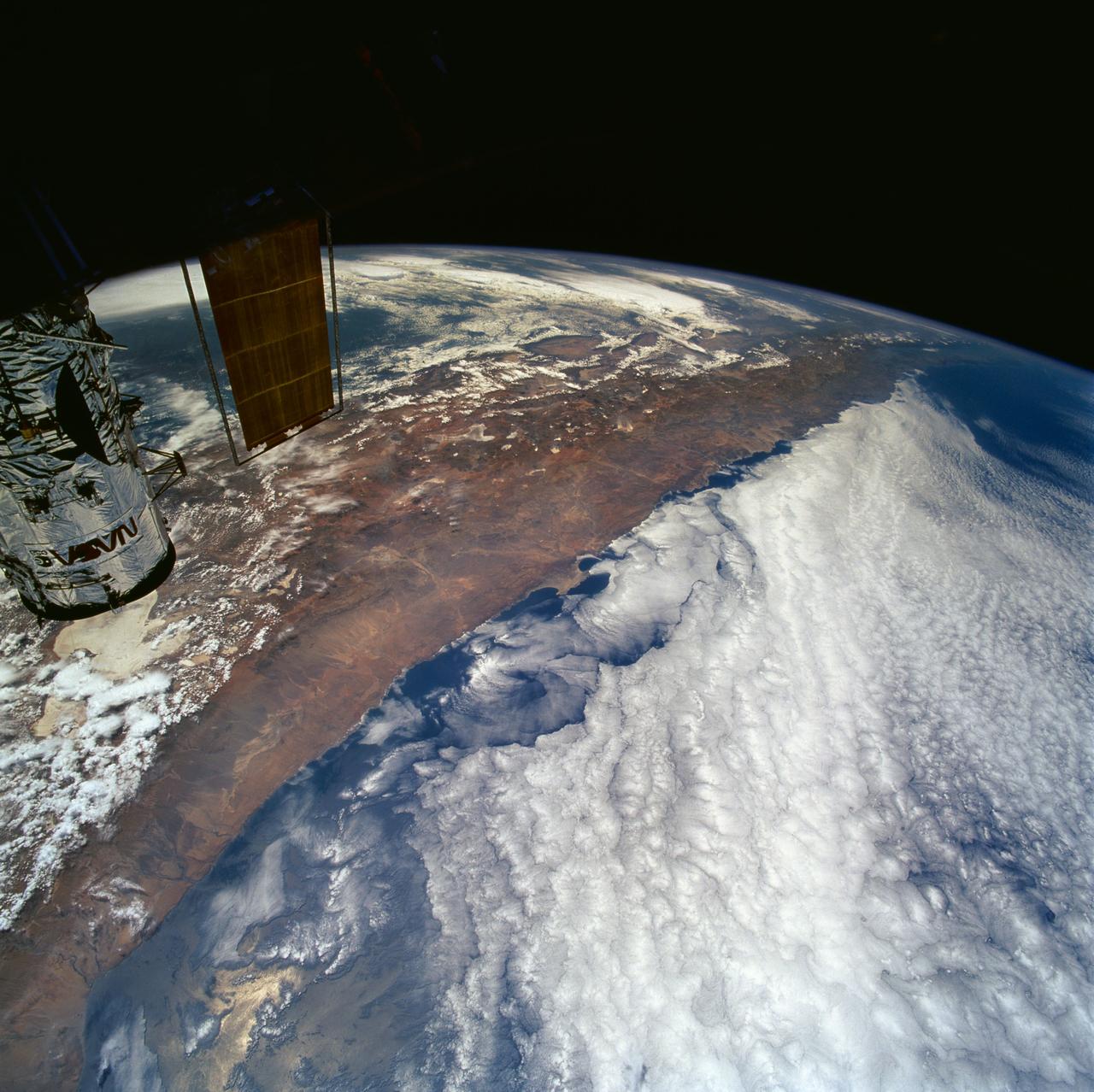
Northern Chile and Andes Mountains seen from STS-61 Shuttle Endeavour
1993-12-09 · NASA Image and Video Library
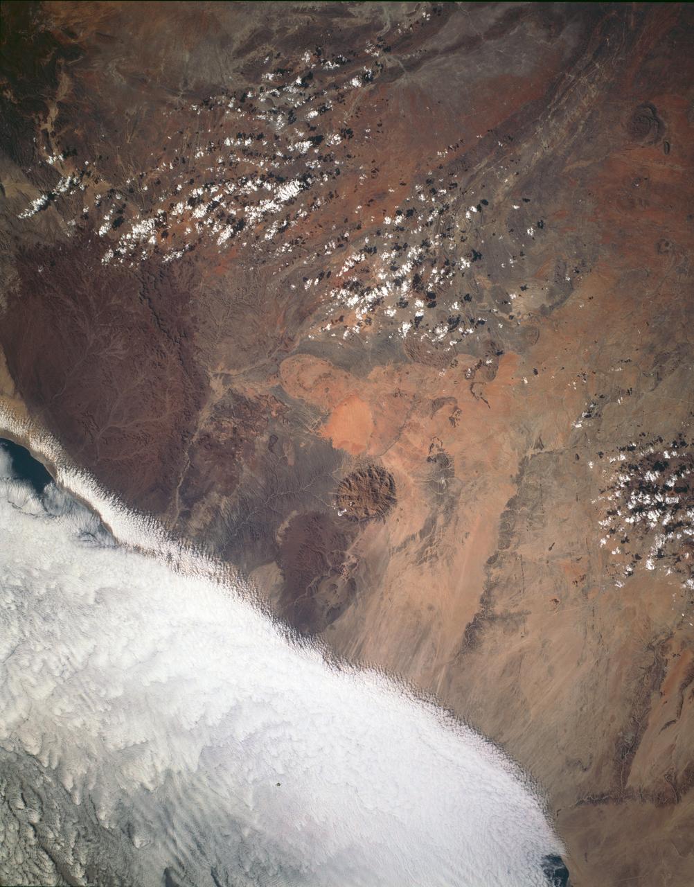
Brandburg Prominance, Namibia, Africa
1993-01-19 · NASA Image and Video Library
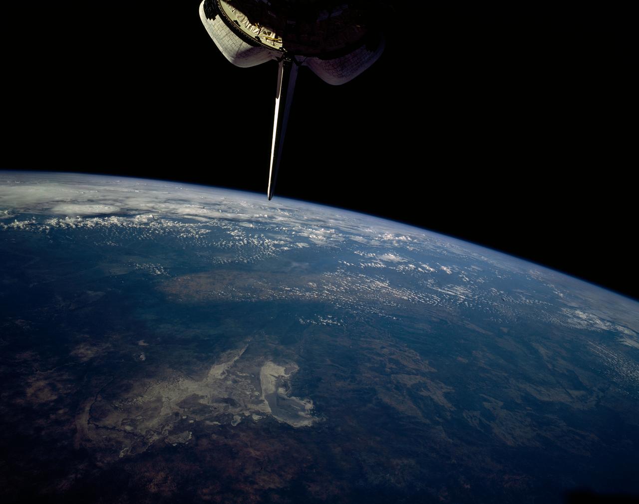
Makgadikgadi Salt Pan, Botswana, Africa
1992-01-19 · NASA Image and Video Library
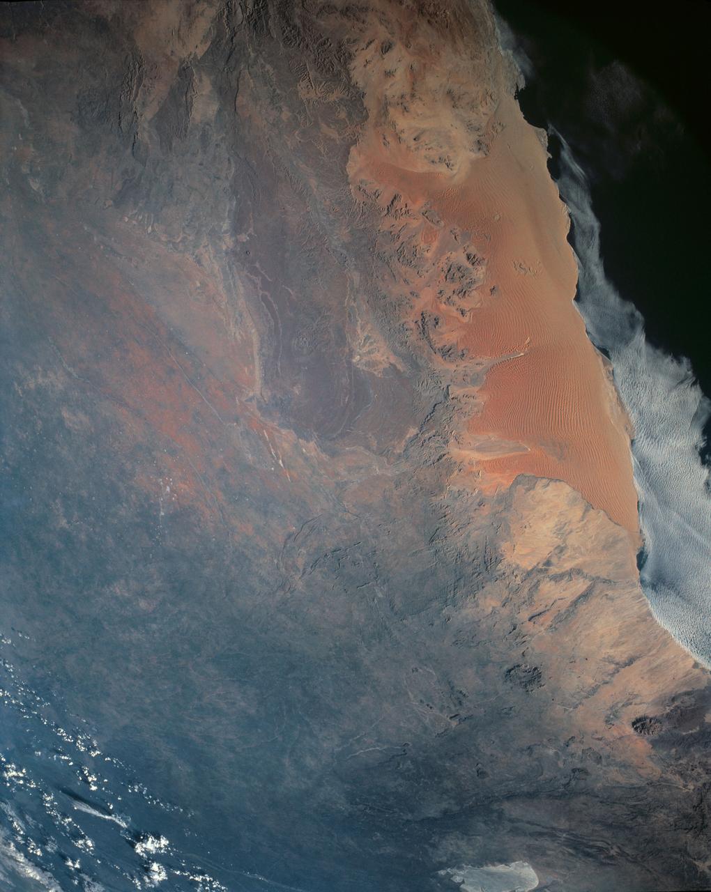
Namib Desert, Namibia, Africa
1990-04-29 · NASA Image and Video Library
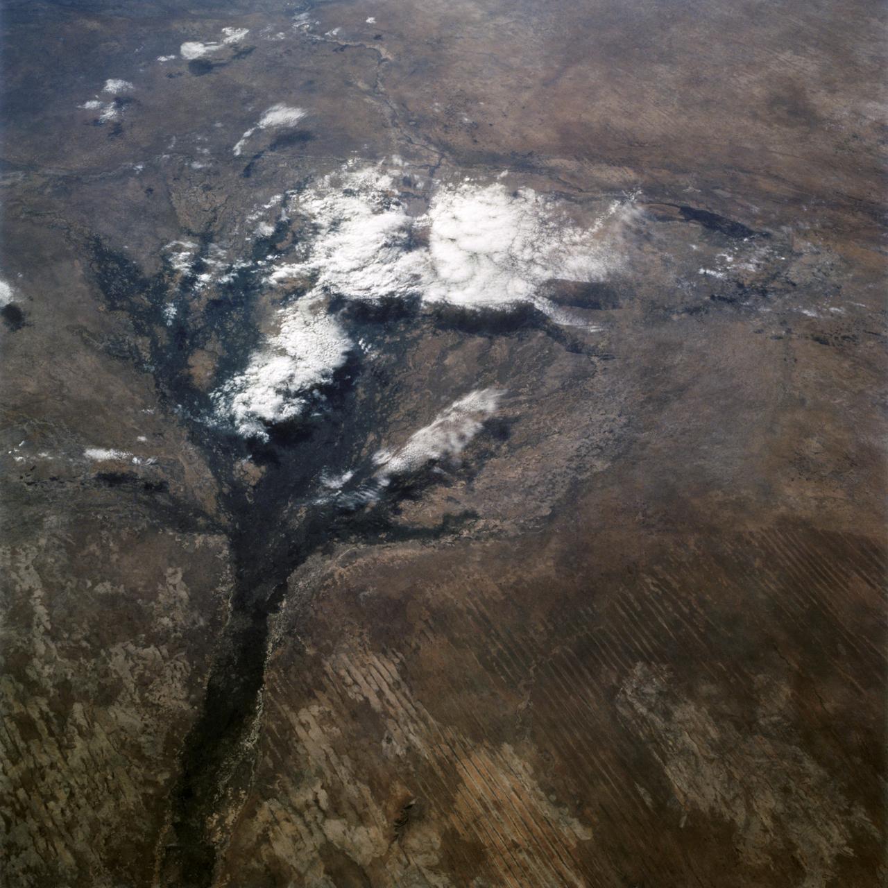
Okavango Delta, Botswana as seen from STS-66 shuttle Atlantis
1994-11-14 · NASA Image and Video Library
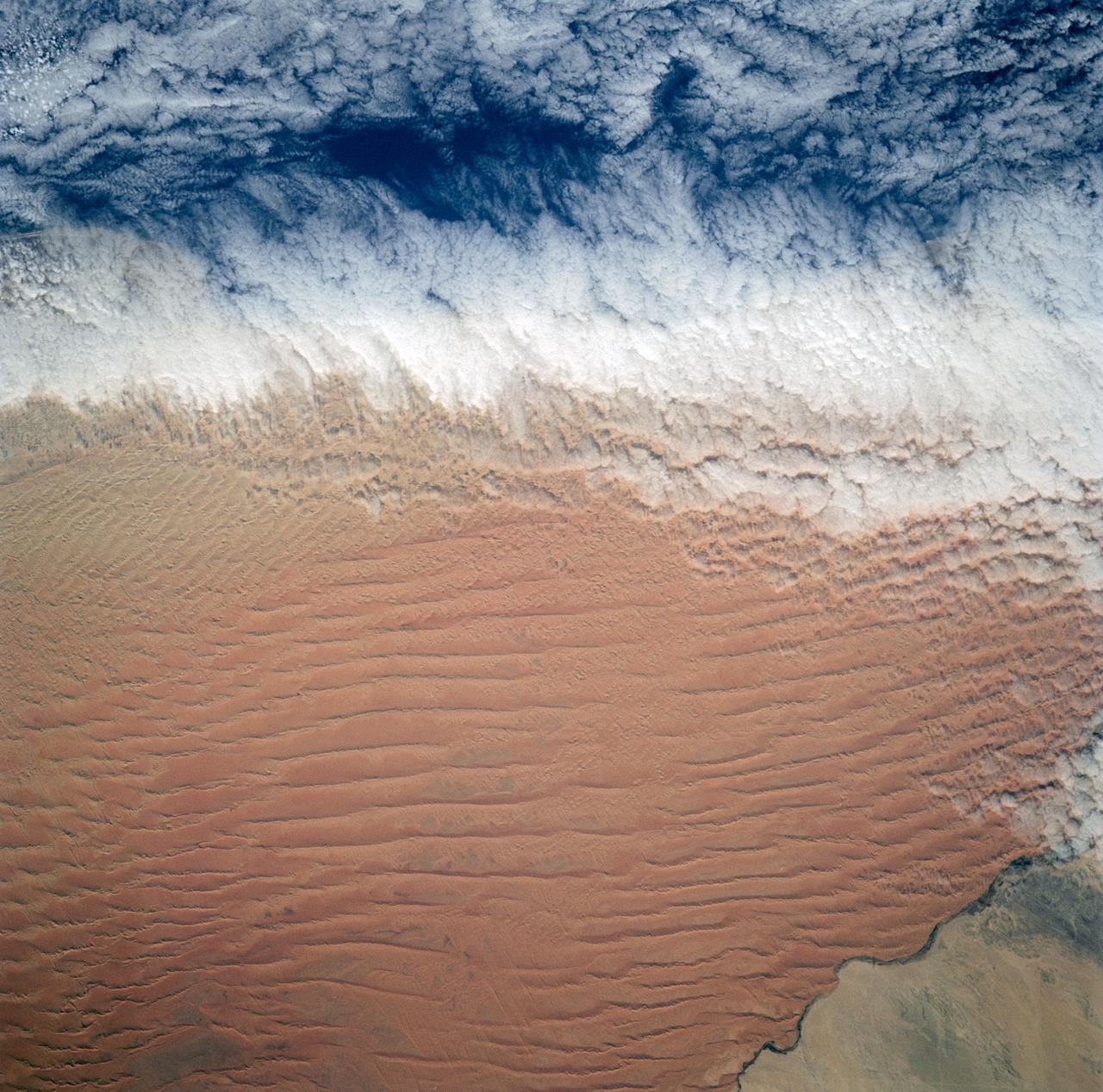
Fog Bank, Namib Desert, Namibia, Africa
1991-12-01 · NASA Image and Video Library
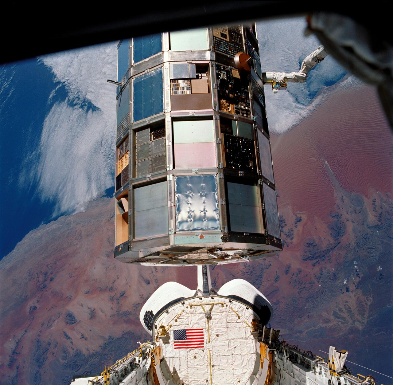
LDEF Retrieval over the Namib Desert, Namibia, Africa
1990-01-20 · NASA Image and Video Library