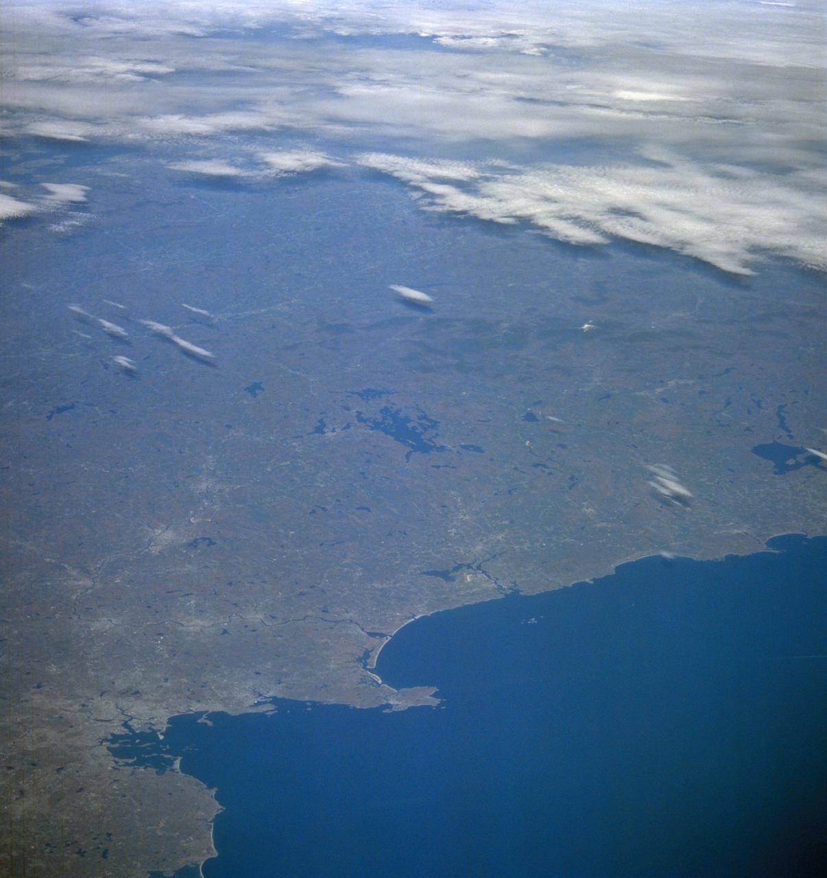
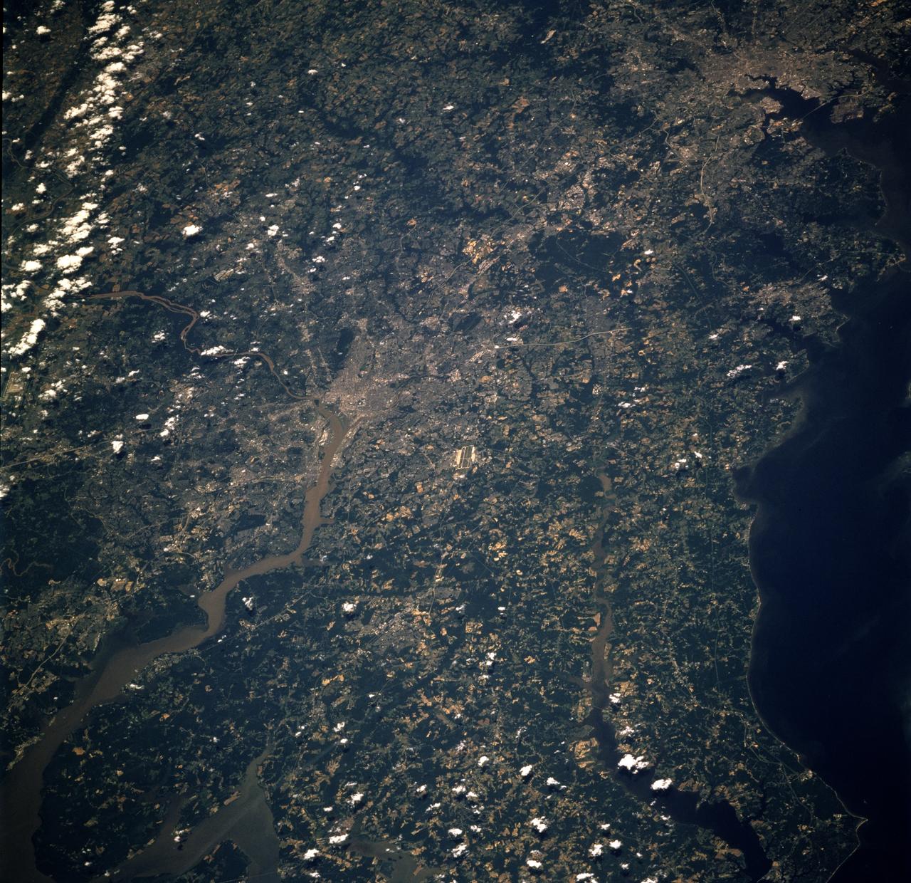
New England from Boston to Lake Champlain and up to southern Main from STS-58
STS058-105-016 (18 Oct-1 Nov 1993) --- This photograph includes much of the heart of New England, stretching from Boston and Boston Harbor (lower left) across New Hampshire and Vermont to Lake Champlain (upper left), and up to southern Maine (Portland is just off the photo at right center). The colors in this photograph are less vivid than those in STS-58-81-038, because the color changes on the deciduous trees in central and northern New England were past their peak when this photograph was taken. North of Boston flows the Merrimack River (which forms part of the state boundary between Massachusetts and New Hampshire). It is delineated by the small industrial towns (Concord, Manchester, Nashua, Lowell) which grew up on its banks. The White Mountains of New Hampshire are seen near the center, and Mt. Washington (6,288 feet) is capped with snow.
- Date
- 1993-10-30
- Collection
- JSC
- Archive
- NASA Image and Video Library
- Type
- photograph
Public domainsafest
Reason: a NASA work: not copyrighted in the United States.
Read from: NASA media usage guidelines: NASA material is not copyrighted in the US unless noted; no third-party credit or mark found.
Credit line
"New England from Boston to Lake Champlain and up to southern Main from STS-58" (1993-10-30). NASA/JSC. Public domain. https://images.nasa.gov/details/sts058-105-016Need photos for a whole script? Add Find Any Photo to Claude and ask for this one by its id: 15362.
More like this
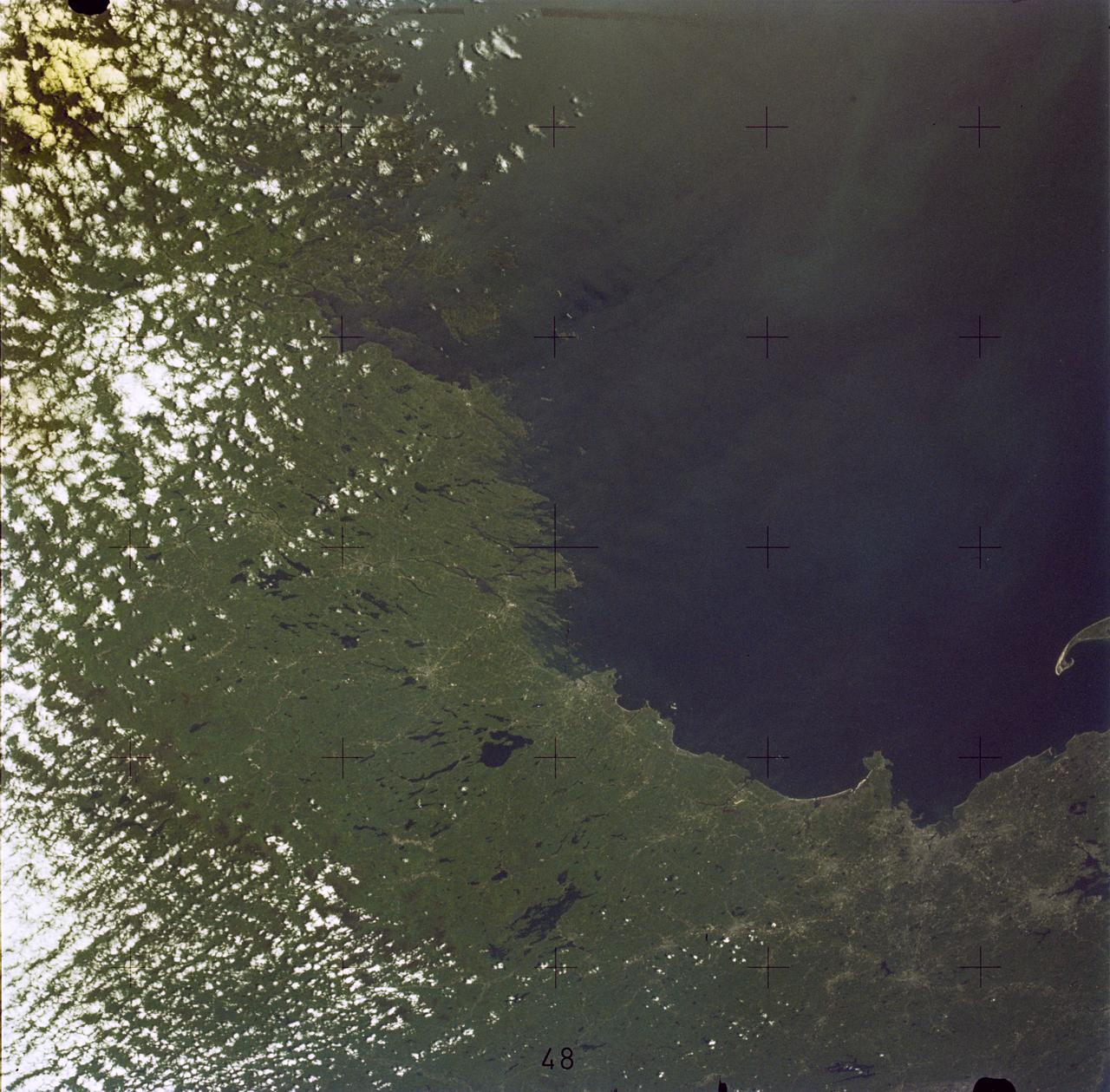
Boston, MA and New England Coastline
1973-06-22 · NASA Image and Video Library
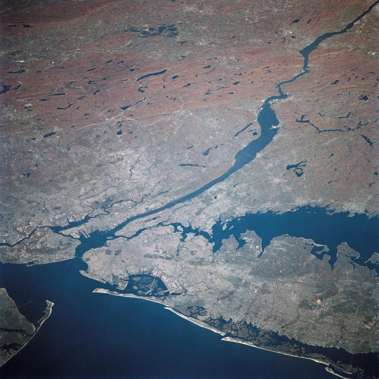
New York and New Jersey as seen from STS-58
1993-10-30 · NASA Image and Video Library
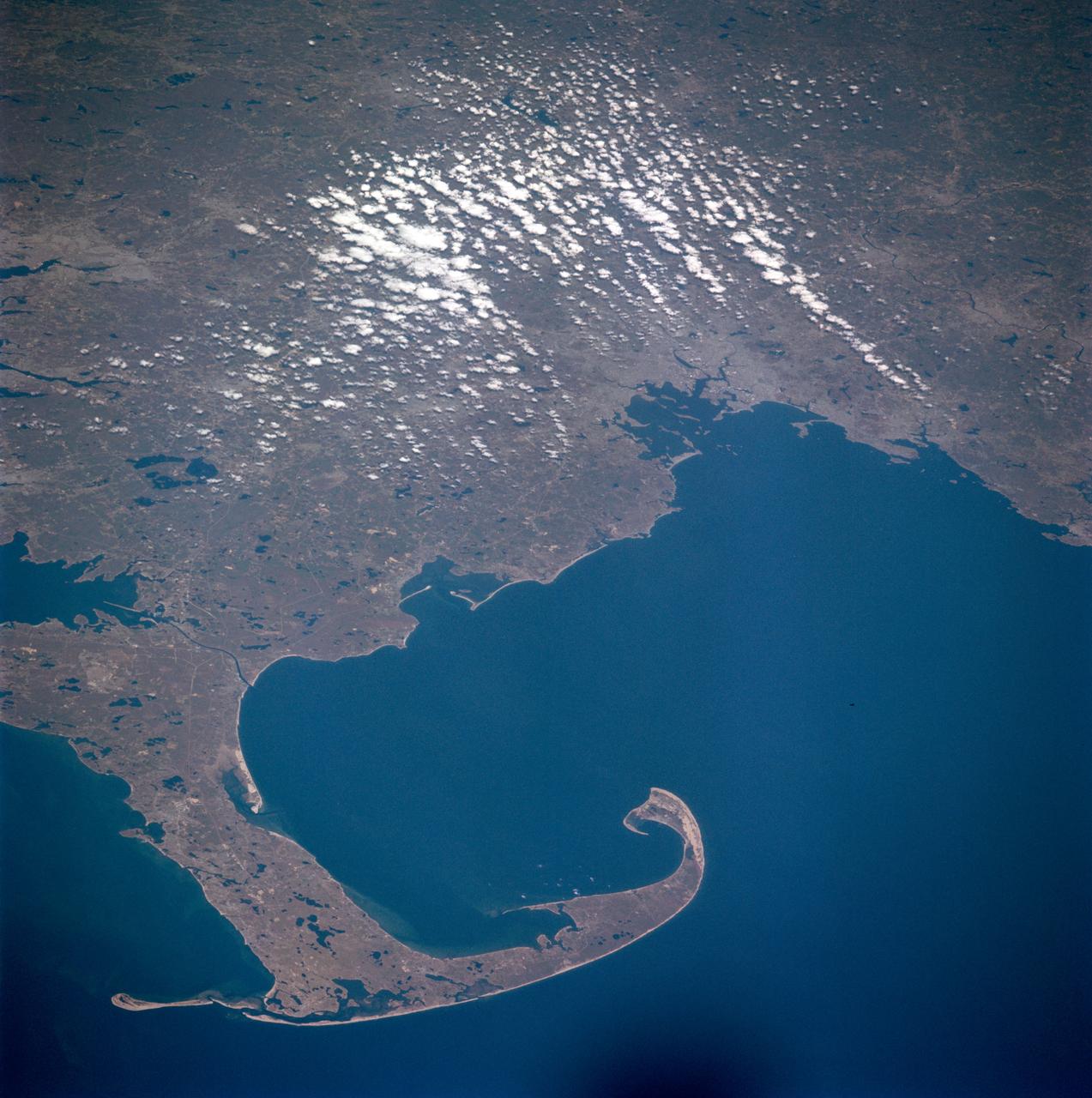
Massachusetts, Cape Cod
1981-04-14 · NASA Image and Video Library
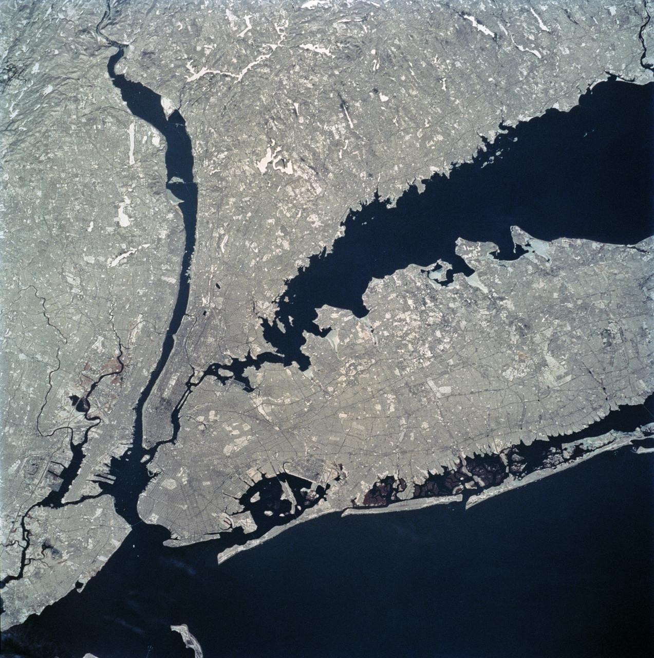
New York city area as seen from STS-62
1994-03-05 · NASA Image and Video Library
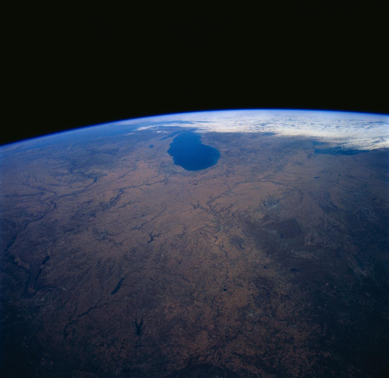
Midwestern United States as seen from STS-58
1993-10-30 · NASA Image and Video Library
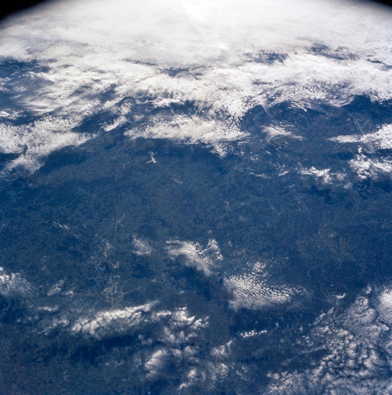
Nashville Basin, Tennessee as seen from STS-58
1993-10-30 · NASA Image and Video Library
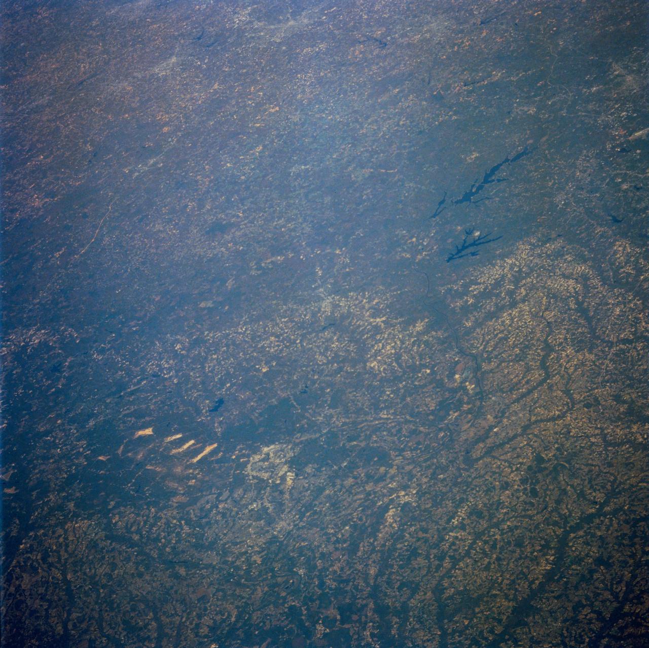
North Carolina as seen from STS-58
1993-10-30 · NASA Image and Video Library
Earth observations taken from Space Shuttle Columbia during STS-78 mission
1996-06-26 · NASA Image and Video Library